Bryn y Castell
Hill, Mountain in Flintshire
Wales
Bryn y Castell
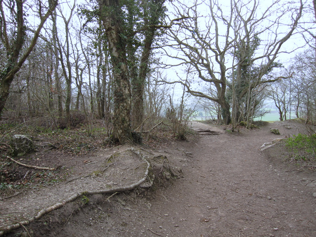
Bryn y Castell is a prominent hill located in the county of Flintshire, Wales. Situated in the north-eastern part of the country, it is a significant geographical feature in the region. Standing at an elevation of approximately 200 meters (656 feet), it offers stunning panoramic views of the surrounding countryside and is a popular destination for outdoor enthusiasts.
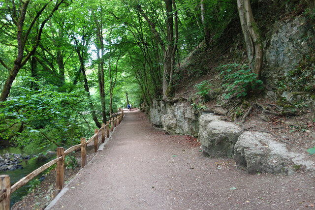
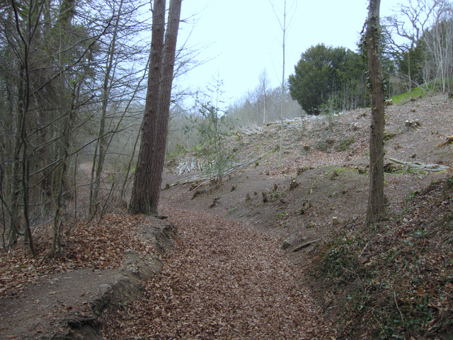
The hill is characterized by its gentle slopes, covered in lush green vegetation, primarily consisting of grass and shrubs. The terrain is relatively easy to traverse, making it accessible to hikers and walkers of all levels of experience. At the summit, visitors are rewarded with breathtaking vistas of the nearby Clwydian Range Area of Outstanding Natural Beauty, as well as the patchwork of fields and farmland that stretch out towards the coast.
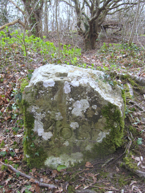
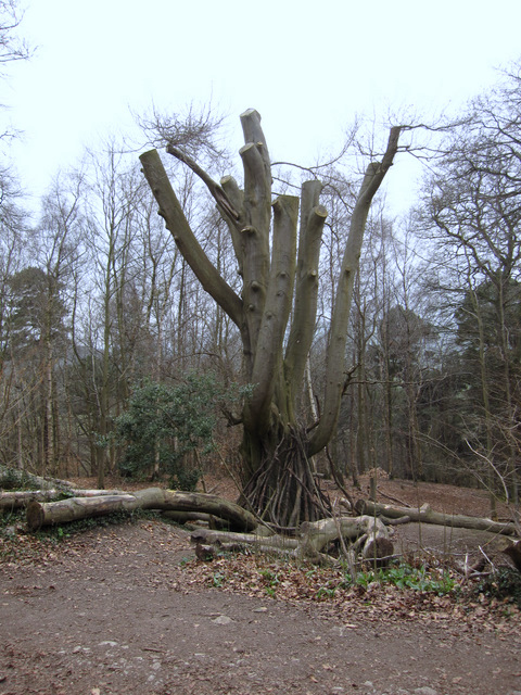
Bryn y Castell is also known for its historical significance. The name itself translates to "hill of the castle," suggesting a connection to a fortified structure that once existed on the site. Although no visible remains of a castle are present today, the hill serves as a reminder of the area's rich heritage.
The hill is easily accessible, with nearby parking facilities and well-maintained footpaths leading to the summit. It is a popular spot for outdoor activities such as hillwalking, picnicking, and nature observation. Whether seeking a peaceful retreat or an opportunity to appreciate the natural beauty of Flintshire, Bryn y Castell offers a memorable experience for visitors of all ages.
If you have any feedback on the listing, please let us know in the comments section below.
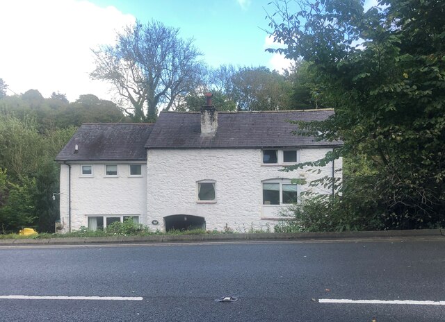
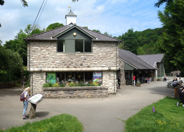
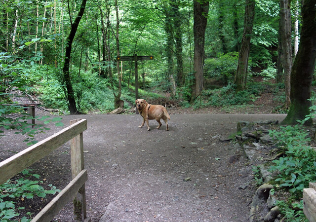
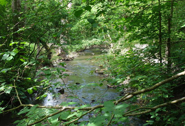
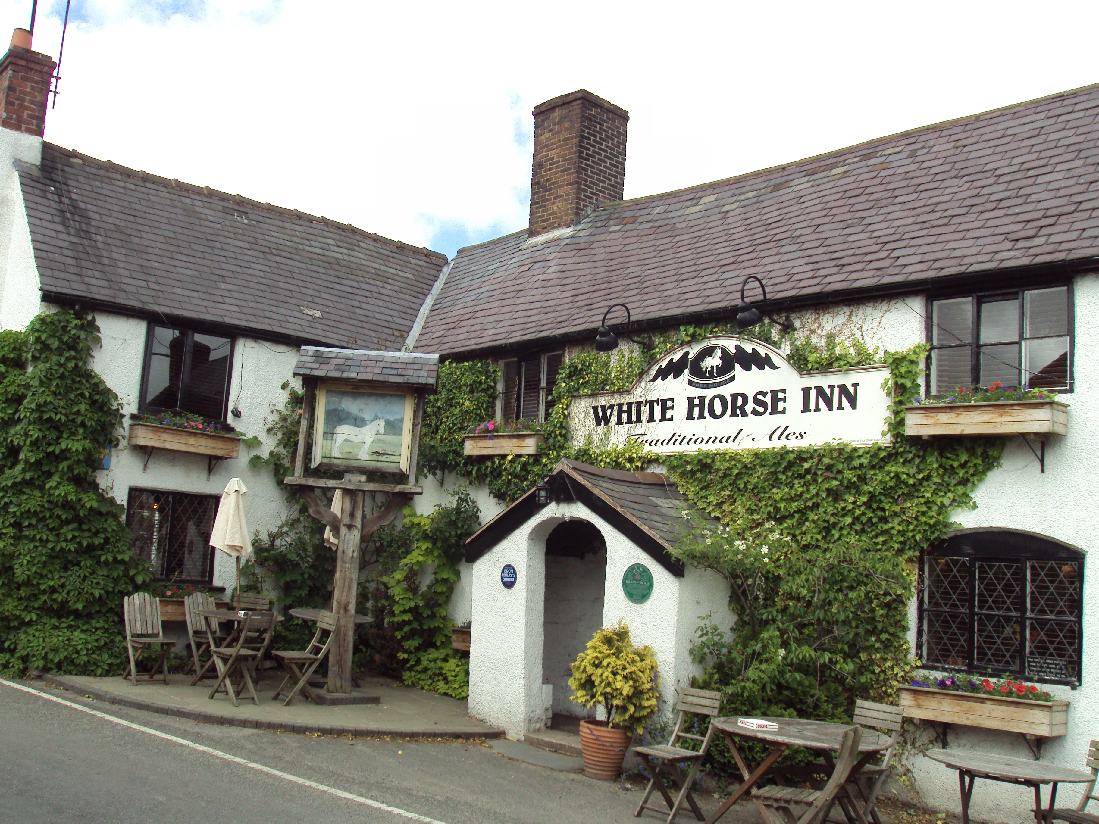
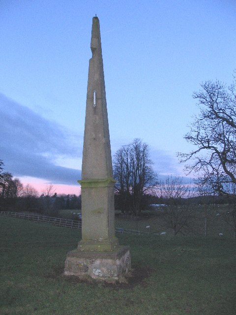
Bryn y Castell Images
Images are sourced within 2km of 53.162504/-3.2152092 or Grid Reference SJ1863. Thanks to Geograph Open Source API. All images are credited.


Bryn y Castell is located at Grid Ref: SJ1863 (Lat: 53.162504, Lng: -3.2152092)
Unitary Authority: Flintshire
Police Authority: North Wales
What 3 Words
///holiday.baking.radiates. Near Mold, Flintshire
Nearby Locations
Related Wikis
Pantymwyn
Pantymwyn is a small village just outside Mold in Flintshire, Wales, in the community of Gwernaffield with Pantymwyn. The village is located within the...

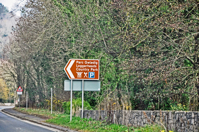
Loggerheads Country Park
Loggerheads Country Park is a country park in the village of Loggerheads, Denbighshire, Wales. The park has a wooded river valley that follows the course...
Cilcain
Cilcain is a village and community, near Mold in Flintshire, north-east Wales. The village has an industrial history and includes the Millennium Woods...
Gwernaffield with Pantymwyn
Gwernaffield with Pantymwyn is a community in Flintshire, Wales with a population of 1942 as of the 2011 UK census. It includes the villages of Gwernaffield...
Related Videos
Walking In North Wales, Beautiful Scenery, Caves, Beginner Hiking, Loggerheads/Devils Gorge
This video will take you on a journey through North Wales Loggerheads county park. This is one of many trails in the area that ...

Hiking Wales: Loggerheads - Moel Findeg & Misty Hills
Misty Hills & Wild Ponies. This is a beautiful 6 mile circular hike from Loggerheads up to Moel Findeg and back around to ...

Loggerheads, North Wales 🏴 | An AWESOME day out on a BUDGET for the WHOLE FAMILY!
As we all know, the Earth is a beautiful place. There's so much to see and explore. As you probably know, I love to travel and ...
Nearby Amenities
Located within 500m of 53.162504,-3.2152092Have you been to Bryn y Castell?
Leave your review of Bryn y Castell below (or comments, questions and feedback).