Black Hill
Hill, Mountain in Midlothian
Scotland
Black Hill
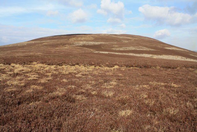
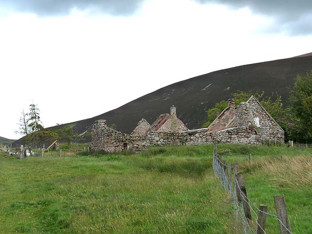
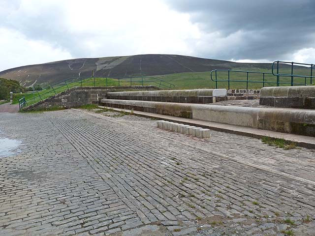
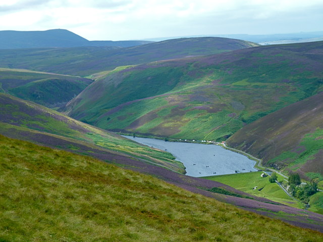
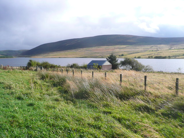
Black Hill is a notable landmark located in Midlothian, Scotland. Standing at an elevation of 643 meters (2,110 feet), it is classified as a hill rather than a mountain. Situated south of the Pentland Hills, it offers panoramic views of the surrounding countryside, making it a popular destination for hikers, nature enthusiasts, and photographers.
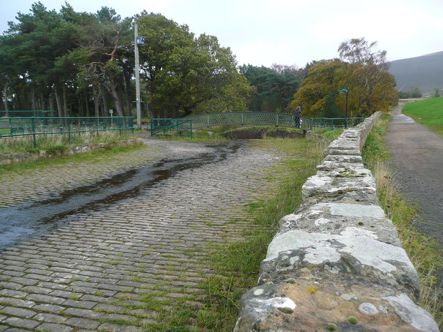
The hill is easily accessible, with several well-maintained trails leading to its summit. These paths wind through picturesque landscapes, including heather-covered moorlands, grassy slopes, and patches of dense woodland. Along the way, visitors may encounter various wildlife species, including red deer, mountain hares, and a diverse range of birdlife.
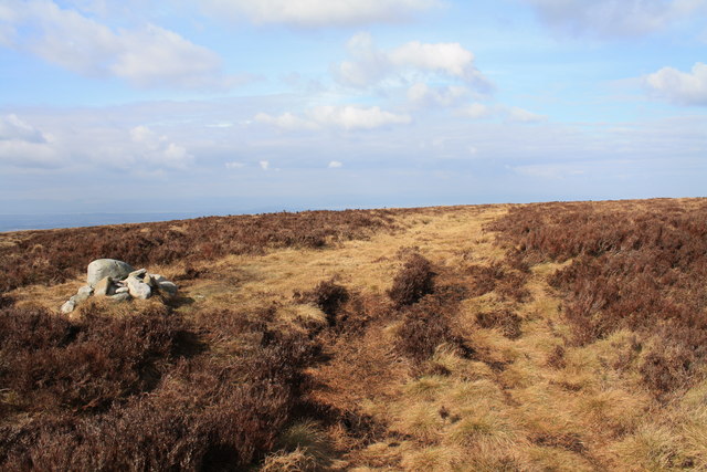
At the top of Black Hill, visitors are rewarded with breathtaking views across Midlothian and beyond. On clear days, it is possible to spot landmarks such as Edinburgh Castle, Arthur's Seat, and the Firth of Forth. The hill's summit also features a trig point, which serves as a marker for geodetic surveys and provides an excellent spot for taking photographs or simply enjoying the serene surroundings.
Black Hill offers a peaceful retreat from the hustle and bustle of city life, and its natural beauty makes it a popular destination for outdoor activities such as hiking, hillwalking, and picnicking. Whether exploring the hill's trails or admiring the stunning vistas from its summit, visitors to Black Hill are sure to be captivated by its charm and tranquility.
If you have any feedback on the listing, please let us know in the comments section below.
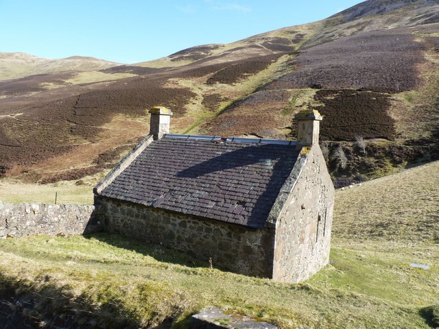
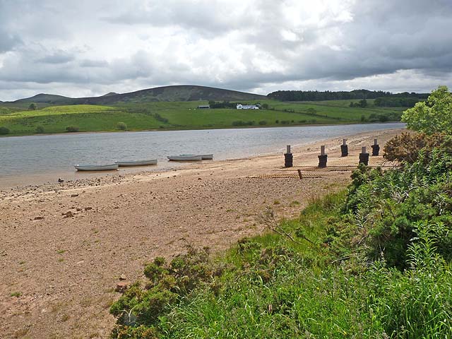
Black Hill Images
Images are sourced within 2km of 55.854937/-3.2982266 or Grid Reference NT1863. Thanks to Geograph Open Source API. All images are credited.


Black Hill is located at Grid Ref: NT1863 (Lat: 55.854937, Lng: -3.2982266)
Unitary Authority: Midlothian
Police Authority: The Lothians and Scottish Borders
What 3 Words
///snacking.flux.cabbages. Near Balerno, Edinburgh
Nearby Locations
Related Wikis

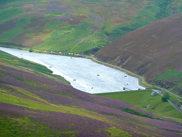
Loganlea Reservoir
Loganlea Reservoir is a small reservoir in the Pentland Hills, Midlothian, Scotland, UK. The Logan Burn connects the reservoir with Glencorse Reservoir...

Threipmuir Reservoir
Threipmuir Reservoir is a reservoir in the City of Edinburgh Council area, Scotland, UK. It is situated to the south of Edinburgh at the base of the Pentland...

Harlaw Reservoir
Harlaw Reservoir is a small reservoir in the City of Edinburgh Council area, Scotland, UK, situated at the base of the Pentland Hills near Currie and Balerno...

Carnethy Hill
Carnethy Hill, the second highest of the Pentland Hills, is a hill 3 miles (5 km) north-west of Penicuik, Scotland. It lends its name to the Carnethy 5...
Nearby Amenities
Located within 500m of 55.854937,-3.2982266Have you been to Black Hill?
Leave your review of Black Hill below (or comments, questions and feedback).