Cairn Doos

Hill, Mountain in Angus

Scotland

Cairn Doos

The end of the road This is where hillwalkers are encouraged to park at the end of the road in Glen Isla. The actual road has ended a bit earlier in Auchavon, and this track crosses the river and leads a bit further to Dalhally.
The end of the road Credit: Aleks Scholz

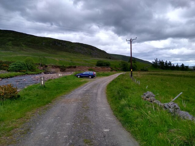
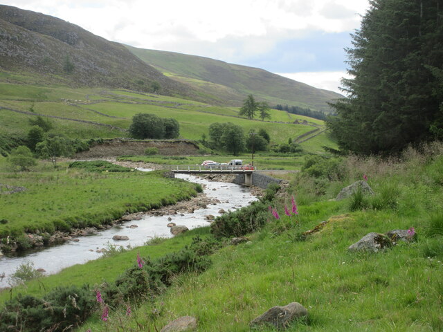
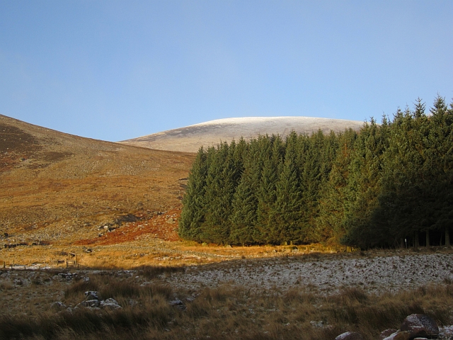
Cairn Doos is a prominent hill located in the county of Angus, Scotland. It is situated near the village of Balmashanner, approximately 2.5 miles northeast of the town of Forfar. With an elevation of 389 meters (1,276 feet), Cairn Doos is considered a notable hill in the region.

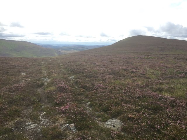
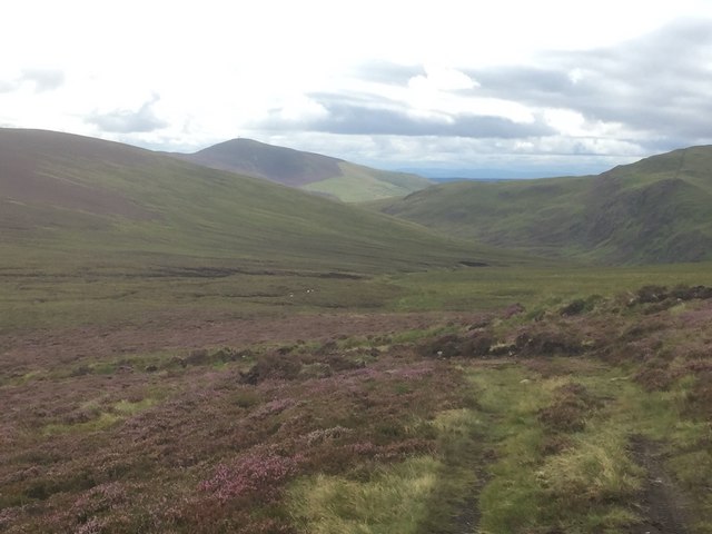
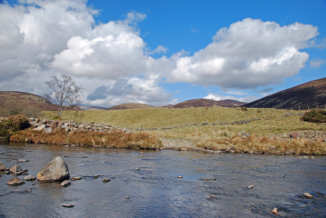
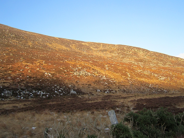
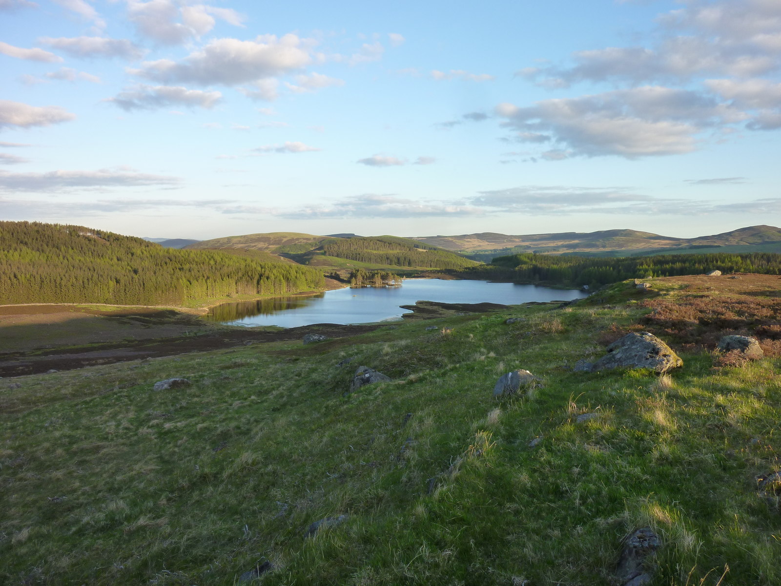
The hill is characterized by its distinctive shape, resembling a cairn or mound, which gives it its name. It is part of a range of hills known as the Sidlaw Hills, which stretch across Angus and Perthshire, offering picturesque vistas of the surrounding countryside.

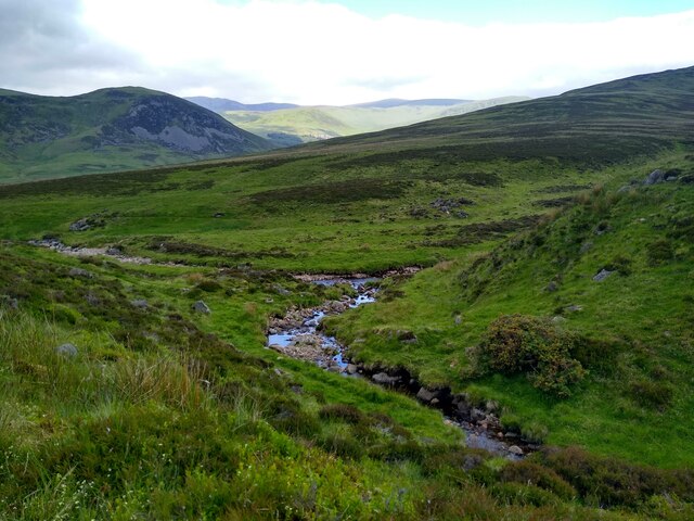
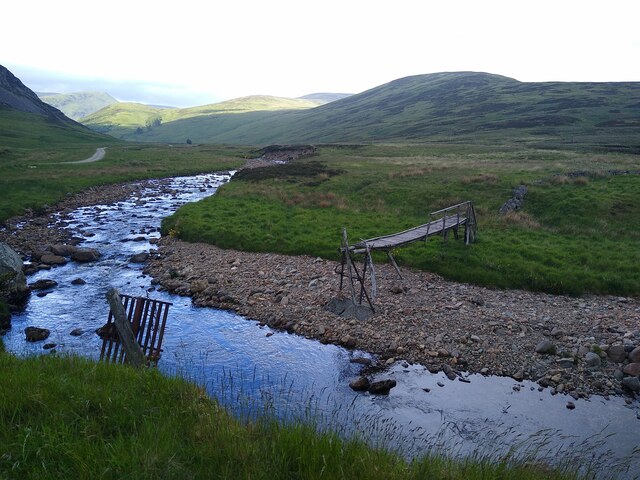
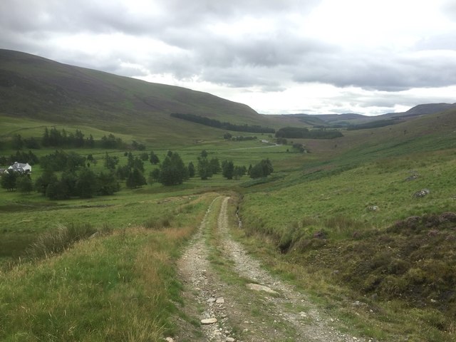
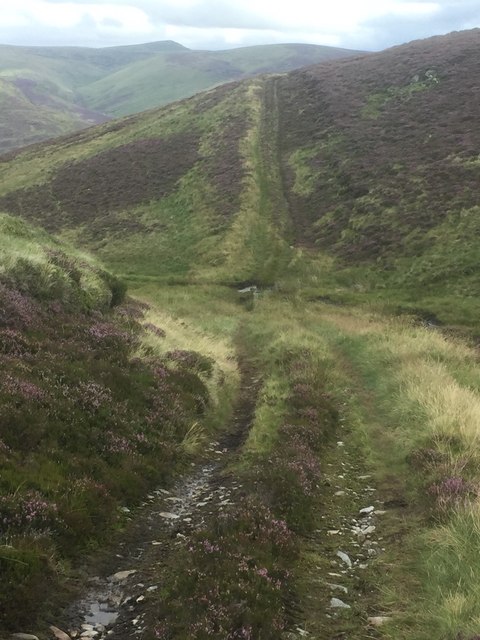
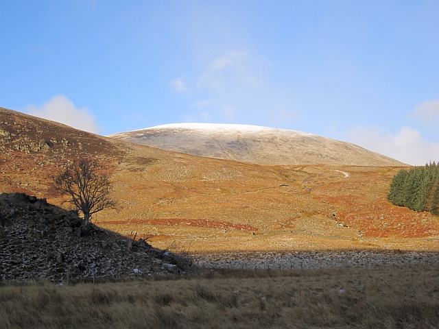
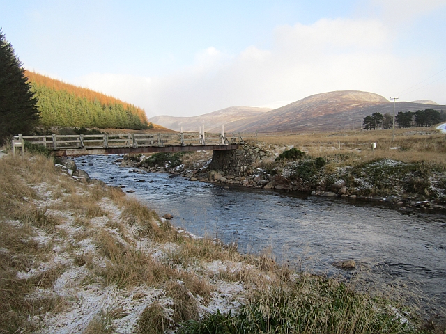
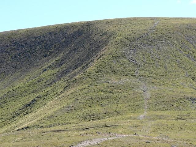
Cairn Doos is a popular destination for hikers and outdoor enthusiasts due to its accessibility and stunning panoramic views from its summit. The hill is predominantly covered in heather and grass, with scattered rocky outcrops adding to its natural beauty. On a clear day, visitors can enjoy breathtaking vistas of the rolling Angus farmland, the nearby Sidlaw Hills, and even glimpses of the distant Grampian Mountains.

The hill is easily accessible via footpaths and is often included in various walking routes in the area. The climb to the summit is of moderate difficulty, providing a satisfying challenge for both experienced walkers and those seeking a leisurely hike. Cairn Doos offers an excellent opportunity to immerse oneself in the tranquility of the Scottish countryside and admire the natural wonders of Angus.

If you have any feedback on the listing, please let us know in the comments section below.
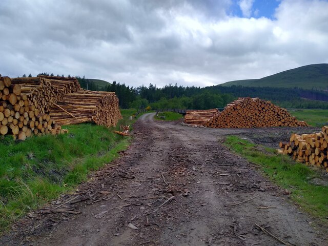
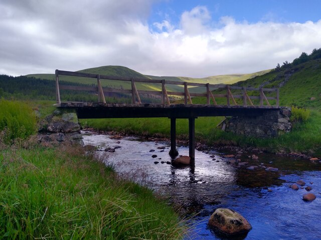
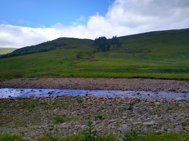
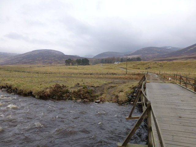
Cairn Doos Images

Images are sourced within 2km of 56.827963/-3.3376727 or Grid Reference NO1871. Thanks to Geograph Open Source API. All images are credited.

The end of the road This is where hillwalkers are encouraged to park at the end of the road in Glen Isla. The actual road has ended a bit earlier in Auchavon, and this track crosses the river and leads a bit further to Dalhally.
The end of the road
This is where hillwalkers are encouraged to park at the end of the road in Glen Isla. The actual road has ended a bit earlier in Auchavon, and this track crosses the river and leads a bit further to Dalhally.
Beautiful burns The point where Glencally burn merges with Altvraigy burn.
Beautiful burns
The point where Glencally burn merges with Altvraigy burn.
Broken bridge My contribution to document the state of the footbridge across the Isla. It was marginally intact in 2005 (<a href="https://www.geograph.org.uk/photo/470685">NO1970 : Old footbridge over the River Isla,Dalhally</a>), intact in 2006 (<a href="https://www.geograph.org.uk/photo/165798">NO1970 : Footbridge in Glen Isla</a>), intact but decayed in 2008 (<a href="https://www.geograph.org.uk/photo/1055092">NO1970 : Footbridge in Glen Isla</a> and <a href="https://www.geograph.org.uk/photo/896581">NO1970 : Dilapidated bridge over the Isla</a>), intact but rickety in 2009 (<a href="https://www.geograph.org.uk/photo/1583619">NO1970 : Rickety Bridge</a>), still intact, but wobbly in 2012 (<a href="https://www.geograph.org.uk/photo/3105373">NO1970 : Rickety Footbridge over River Isla near Linns</a>), broken in 2020 (<a href="https://www.geograph.org.uk/photo/6803778">NO1970 : Broken bridge over the Isla</a> and <a href="https://www.geograph.org.uk/photo/6578813">NO1970 : Ruined bridge, Glen Isla</a>), and apparently still broken in 2022. The big question is of course what happened between 2012 and 2020.
Broken bridge
My contribution to document the state of the footbridge across the Isla. It was marginally intact in 2005 (NO1970 : Old footbridge over the River Isla,Dalhally), intact in 2006 (NO1970 : Footbridge in Glen Isla), intact but decayed in 2008 (NO1970 : Footbridge in Glen Isla and NO1970 : Dilapidated bridge over the Isla), intact but rickety in 2009 (NO1970 : Rickety Bridge), still intact, but wobbly in 2012 (NO1970 : Rickety Footbridge over River Isla near Linns), broken in 2020 (NO1970 : Broken bridge over the Isla and NO1970 : Ruined bridge, Glen Isla), and apparently still broken in 2022. The big question is of course what happened between 2012 and 2020.
Tree-lined path to Tulchan Lodge This is a beautiful, but private driveway that only leads to the lodge. I turned around soon after that point.
Tree-lined path to Tulchan Lodge
This is a beautiful, but private driveway that only leads to the lodge. I turned around soon after that point.
Track through timber stacks Entire tree plantations have disappeared compared to previous years in the upper parts of Glen Isla, either the trees were large enough to be harvested, or they have suffered during the storms in winter 2021-22.
Track through timber stacks
Entire tree plantations have disappeared compared to previous years in the upper parts of Glen Isla, either the trees were large enough to be harvested, or they have suffered during the storms in winter 2021-22.
Another bridge across the River Isla In the background parts of the Monega-Glas Maol ridge.
Another bridge across the River Isla
In the background parts of the Monega-Glas Maol ridge.
Across River Isla The Wester Latch burn with some old trees on the other side.
Across River Isla
The Wester Latch burn with some old trees on the other side.
Track to Dalhally From the bridge at Auchavan.
The bridge has suffered, possibly from a vehicle sliding on ice?
The River Isla is in spate.
Track to Dalhally
From the bridge at Auchavan. The bridge has suffered, possibly from a vehicle sliding on ice? The River Isla is in spate.
Track on Creagan Caise Hill
Track above Auchavan, Glen Isla
Head of the Glack Burn
Track on Creagan Caise Hill
Bridge over the River Isla Bridge crossing the River Isla near Auchavan, viewed from the north.
Bridge over the River Isla
Bridge crossing the River Isla near Auchavan, viewed from the north.
River Isla From the west bank looking over the pretty river to rough grazing and the hills beyond.
River Isla
From the west bank looking over the pretty river to rough grazing and the hills beyond.
Creagan Caise Broken crags and boulderfields on the west side of Glen Isla.
Creagan Caise
Broken crags and boulderfields on the west side of Glen Isla.
A rocky knoll, Auchavan A pile of glacial debris in upper Glen Isla. The hill is Monamenach.
A rocky knoll, Auchavan
A pile of glacial debris in upper Glen Isla. The hill is Monamenach.
Woodland, Glen Isla A small conifer block near Auchavan, the hill is Monameanach.
Woodland, Glen Isla
A small conifer block near Auchavan, the hill is Monameanach.
Bridge at Auchavan The bridge carries a road to Dalhally.
Bridge at Auchavan
The bridge carries a road to Dalhally.
Show me another place!

Cairn Doos is located at Grid Ref: NO1871 (Lat: 56.827963, Lng: -3.3376727)

Unitary Authority: Angus

Police Authority: Tayside

What 3 Words

///observers.unwanted.handsets. Near Inverey, Aberdeenshire

Nearby Locations

Cairn Doos

Related Wikis

Loch Beanie

Loch Beanie also known as Loch Shechernich, is a small shallow freshwater loch that is located in Glen Shee in Perth and Kinross, Scotland. == Island... ==

Glas Maol

Glas Maol (Scottish Gaelic: A' Ghlas-Mheall) is a mountain in the Mounth, in the southeastern part of the Highlands of Scotland. The broad, flat summit...

Caenlochan

Caenlochan (Scottish Gaelic: Cadha an Lochain) is a glen in the Grampian Mountains of Scotland. Under EU Natura 2000 legislation it is a Special Area of...

Mayar (mountain)

Mayar is a mountain in the Grampians, in Angus, Scotland. It is usually climbed together with its near neighbour, Driesh. At an elevation of 928 m, it...

Little Forter

Little Forter is a hamlet in Glen Isla, Angus, Scotland. It is on the River Isla, 13 miles (21 kilometres) north-west of Kirriemuir and 11 miles (18 kilometres...

Glen Shee

Glen Shee (Scottish Gaelic: Gleann Sith) is a glen in eastern Perthshire, Scotland. Shee Water flows through the glen. The head of the glen, where Gleann...

Auchintaple Loch

Auchintaple Loch also known as Auchenchapel Loch, is a small shallow freshwater loch that is located in Glen Isla in Angus, Scotland. == See also == List...

Forter Castle

Forter Castle is located in Glenisla, Perthshire, Scotland. It was built in 1560 by James Ogilvy, the 5th Lord of Airlie. In 1640, it was burned by Archibald...

Nearby Amenities

Located within 500m of 56.827963,-3.3376727
Long How
Place: locality
Lat/Long: 56.8262504/-3.3359798
Cairn Doos
Name Gd: Càrn Dubh
Natural: peak
Lat/Long: 56.8276284/-3.3383694
The data included in this document is from www.openstreetmap.org. The data is made available under ODbL.

Have you been to Cairn Doos?

Leave your review of Cairn Doos below (or comments, questions and feedback).