Clockmore
Hill, Mountain in Peeblesshire
Scotland
Clockmore
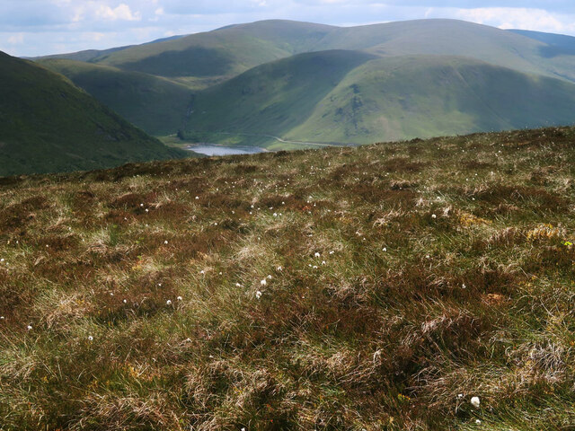
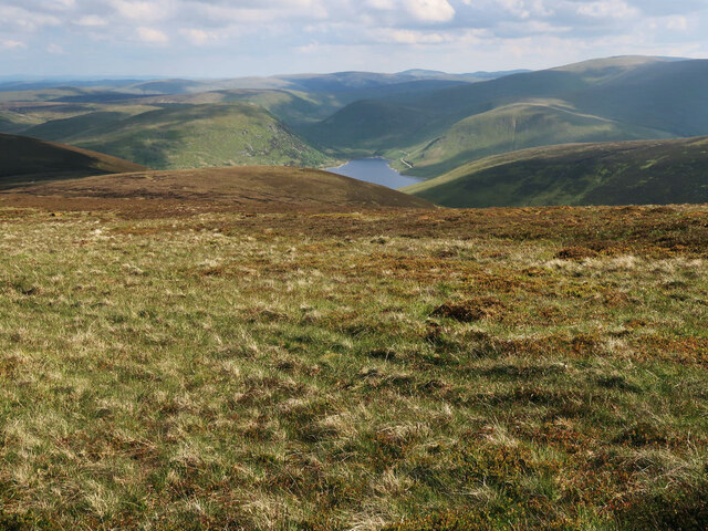
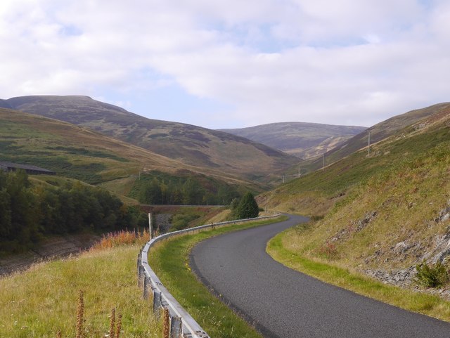
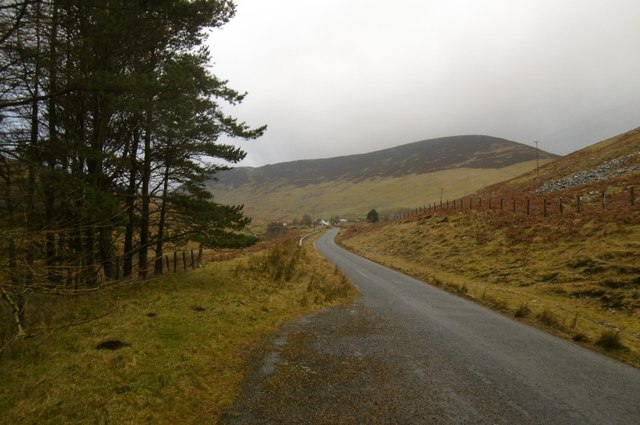
Clockmore is a prominent hill located in Peeblesshire, a historic county in the Scottish Borders region of Scotland. Rising to an elevation of 420 meters (1,378 feet), it is considered a notable landmark in the area. Situated near the village of Eddleston, Clockmore offers stunning panoramic views of the surrounding countryside, making it a popular destination for hikers, nature enthusiasts, and photographers.
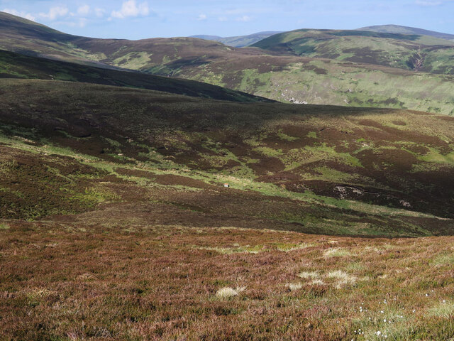
The hill is characterized by its gentle slopes and lush greenery, adorned with a variety of native flora and fauna. Its distinctive shape, resembling a clock face, is believed to have inspired its name. Clockmore is situated within the scenic Tweed Valley, which is renowned for its picturesque landscapes, charming villages, and the meandering River Tweed.
Access to Clockmore is relatively straightforward, with several well-marked trails leading to its summit. These trails offer a range of difficulty levels, catering to both novice and experienced hikers. The ascent to the top is moderately challenging, but the reward is well worth the effort, as visitors are treated to breathtaking vistas across the surrounding hills, valleys, and woodlands.
Besides its natural beauty, Clockmore also holds historical significance. The hill is said to have been a site of ancient settlements and possibly even a hill fort in the Iron Age, further adding to its allure. Its cultural and historical background, combined with its stunning natural scenery, make Clockmore a cherished destination for locals and visitors alike.
If you have any feedback on the listing, please let us know in the comments section below.
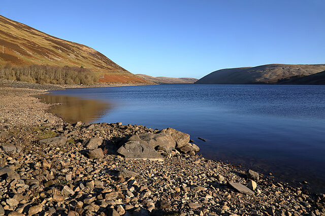
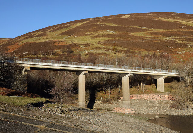
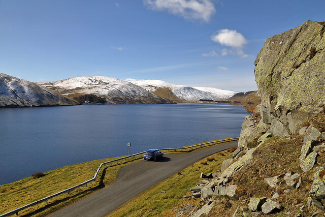
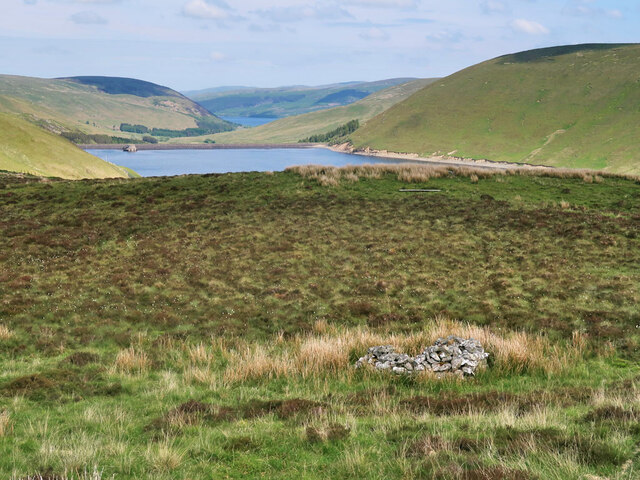
Clockmore Images
Images are sourced within 2km of 55.49286/-3.2943604 or Grid Reference NT1822. Thanks to Geograph Open Source API. All images are credited.


Clockmore is located at Grid Ref: NT1822 (Lat: 55.49286, Lng: -3.2943604)
Unitary Authority: The Scottish Borders
Police Authority: The Lothians and Scottish Borders
What 3 Words
///reassured.views.diner. Near Ettrick, Scottish Borders
Nearby Locations
Related Wikis

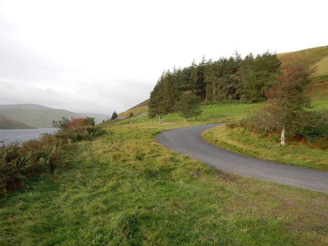
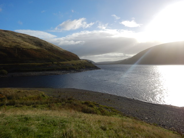
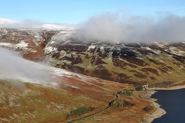
Megget Reservoir
Megget Reservoir is an impounding reservoir in the Megget valley in Ettrick Forest, in the Scottish Borders. The 259 hectares (640 acres) reservoir is...

Megget
Megget is a former chapelry or parish containing the valley of Megget Water, now forming the westernmost part of the parish of Yarrow, Selkirkshire in...

Craigierig
Craigierig is a village on the Megget Reservoir, in the Scottish Borders area of Scotland, in the former Selkirkshire. Places nearby include the Glengaber...

Broad Law
Broad Law is a hill in the Manor Hills range, part of the Southern Uplands of Scotland. The second-highest point in the Southern Uplands and the highest...
Nearby Amenities
Located within 500m of 55.49286,-3.2943604Have you been to Clockmore?
Leave your review of Clockmore below (or comments, questions and feedback).