Haws Hill

Hill, Mountain in Cumberland Copeland

England

Haws Hill

The Punch Bowl Inn, The Green, Millom
The Punch Bowl Inn, The Green, Millom Credit: Colin Park

Haws Hill is a prominent hill located in the county of Cumberland, in the northwestern region of England. It is part of the scenic Lake District National Park, known for its breathtaking landscapes and picturesque surroundings. Rising to an elevation of approximately 1,500 feet (457 meters), Haws Hill is classified as a hill rather than a mountain, but it still offers stunning panoramic views of the surrounding countryside.

The hill is characterized by its gentle slopes covered in lush greenery, dotted with a variety of plant species, including heather and bracken. Haws Hill is a popular destination for hikers and nature enthusiasts, as it offers a relatively easy ascent and a chance to explore the diverse flora and fauna of the area.

The summit of Haws Hill provides visitors with sweeping vistas of the surrounding countryside, with views that stretch as far as the eye can see. On clear days, it is possible to see the nearby fells and mountains, such as Skiddaw and Blencathra, adding to the dramatic allure of the landscape.

The hill is easily accessible by foot, with several well-marked trails leading to the summit. These paths wind through picturesque valleys and woodlands, offering an opportunity to immerse oneself in the natural beauty of the area. Haws Hill is a haven for wildlife, with a variety of bird species, such as buzzards and kestrels, often spotted soaring overhead.

Overall, Haws Hill is a stunning natural landmark, offering visitors a chance to experience the beauty of the Lake District and enjoy the tranquility of the countryside.

If you have any feedback on the listing, please let us know in the comments section below.
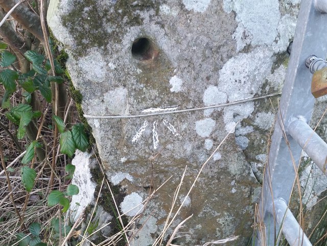
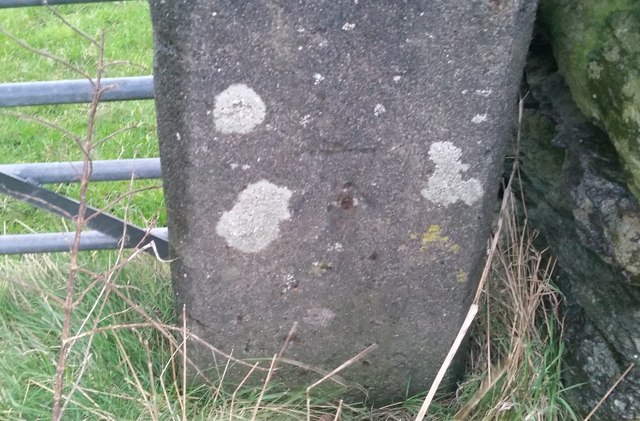
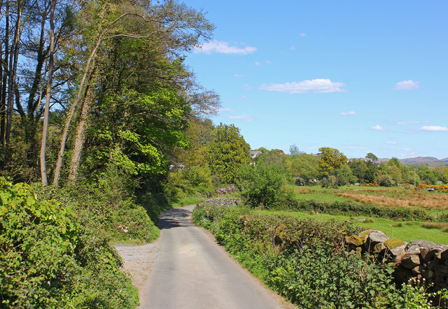
Haws Hill Images

Images are sourced within 2km of 54.245255/-3.2599113 or Grid Reference SD1784. Thanks to Geograph Open Source API. All images are credited.

The Punch Bowl Inn, The Green, Millom
Ordnance Survey Cut Mark This OS cut mark can be found on Old Hall Cottage. It marks a point 39.156m above mean sea level.
Ordnance Survey Cut Mark
This OS cut mark can be found on Old Hall Cottage. It marks a point 39.156m above mean sea level.
Ordnance Survey Cut Mark This OS cut mark can be found on Briar Dene. It marks a point 19.020m above mean sea level.
Ordnance Survey Cut Mark
This OS cut mark can be found on Briar Dene. It marks a point 19.020m above mean sea level.
SRPS Cumbrian Coast Railtour 2018 : Green Road Station
Boundary Stone Toppled and damaged, over stream, south side of the A595.
Boundary Stone
Toppled and damaged, over stream, south side of the A595.
Ordnance Survey Cut Mark This OS cut mark can be found on the wall south side of the road. It marks a point 54.724m above mean sea level.
Ordnance Survey Cut Mark
This OS cut mark can be found on the wall south side of the road. It marks a point 54.724m above mean sea level.
Ordnance Survey Cut Mark This OS cut mark can be found on the rock face NE side of the road. It marks a point 56.565m above mean sea level.
Ordnance Survey Cut Mark
This OS cut mark can be found on the rock face NE side of the road. It marks a point 56.565m above mean sea level.
Ordnance Survey Cut Mark This OS cut mark can be found on the Village Hall SE side of the road. It marks a point 51.075m above mean sea level.
Ordnance Survey Cut Mark
This OS cut mark can be found on the Village Hall SE side of the road. It marks a point 51.075m above mean sea level.
Ordnance Survey Cut Mark This OS cut mark can be found on the gatepost south side of the road. It marks a point 59.576m above mean sea level.
Ordnance Survey Cut Mark
This OS cut mark can be found on the gatepost south side of the road. It marks a point 59.576m above mean sea level.
Ordnance Survey Flush Bracket (G3081) This OS Flush Bracket can be found on Hall Bank. It marks a point 28.226m above mean sea level.
Ordnance Survey Flush Bracket (G3081)
This OS Flush Bracket can be found on Hall Bank. It marks a point 28.226m above mean sea level.
Ordnance Survey Cut Mark This OS cut mark can be found on the brick building at Waltham Nursery. It marks a point 5.925m above mean sea level.
Ordnance Survey Cut Mark
This OS cut mark can be found on the brick building at Waltham Nursery. It marks a point 5.925m above mean sea level.
Ordnance Survey Cut Mark This OS cut mark can be found on a gatepost SE side of the track. It marks a point 6.172m above mean sea level.
Ordnance Survey Cut Mark
This OS cut mark can be found on a gatepost SE side of the track. It marks a point 6.172m above mean sea level.
Ordnance Survey Flush Bracket (G3077) This OS Flush Bracket can be found on The Oaks. It marks a point 35.752m above mean sea level.
Ordnance Survey Flush Bracket (G3077)
This OS Flush Bracket can be found on The Oaks. It marks a point 35.752m above mean sea level.
Ordnance Survey Cut Mark This OS cut mark can be found on the gatepost NE side of the road. It marks a point 59.489m above mean sea level.
Ordnance Survey Cut Mark
This OS cut mark can be found on the gatepost NE side of the road. It marks a point 59.489m above mean sea level.
Green Road Station sign at Green Road, Cumbria.
Green Road
Station sign at Green Road, Cumbria.
Elf Hall Country Lane near Elf Hall, Cumbria.
Elf Hall
Country Lane near Elf Hall, Cumbria.
Dwelling in Hallthwaites Bridge at Hallthwaites, Cumbria.
Dwelling in Hallthwaites
Bridge at Hallthwaites, Cumbria.
Old Boundary Marker Parish Boundary Marker on the south side of Dubdale Brow, above a stream. This was the boundary of Thwaite and Whicham parishes but now the boundary of Millom Without and Whicham. Inscribed THWAITE and WHICHAM. See also <a title="https://www.geograph.org.uk/photo/6299741" href="https://www.geograph.org.uk/photo/6299741">Link</a>

Milestone Society National ID: CU_WHIMIW01pb
Old Boundary Marker
Parish Boundary Marker on the south side of Dubdale Brow, above a stream. This was the boundary of Thwaite and Whicham parishes but now the boundary of Millom Without and Whicham. Inscribed THWAITE and WHICHAM. See also Link Milestone Society National ID: CU_WHIMIW01pb
Show me another place!

Haws Hill is located at Grid Ref: SD1784 (Lat: 54.245255, Lng: -3.2599113)

Administrative County: Cumbria

District: Copeland

Police Authority: Cumbria

What 3 Words

///truth.dampen.dreading. Near Millom, Cumbria

Related Wikis

Arnaby

Arnaby is a village in Cumbria, England.

Millom Without

Millom Without is a civil parish in the county of Cumbria, England. It had a population of 1,638 in 2001, decreasing to 859 at the 2011 Census. Millom...

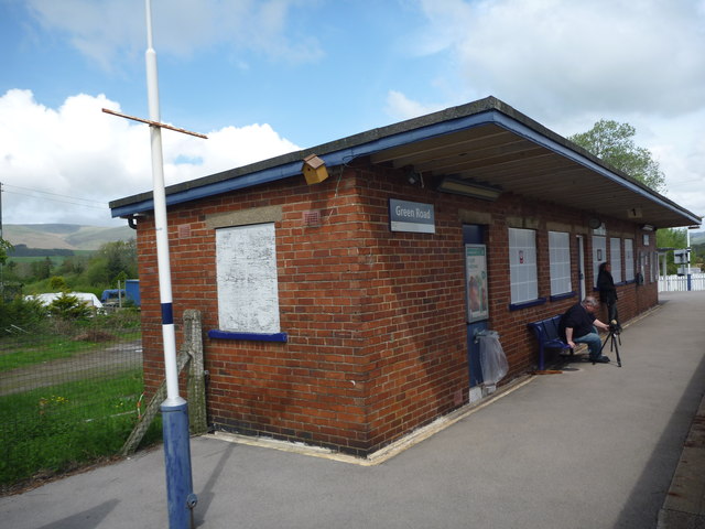
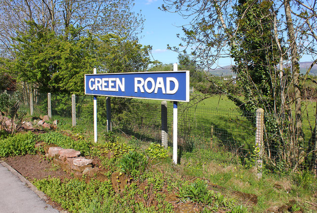
Green Road railway station

Green Road is a railway station on the Cumbrian Coast Line, which runs between Carlisle and Barrow-in-Furness. The station, situated 13+1⁄2 miles (22 km...

Thwaites, Cumbria

Thwaites is a small village near Duddon Valley and on the edge of the Duddon Estuary in the Lake District National Park in the Borough of Copeland, Cumbria...

Nearby Amenities

Located within 500m of 54.245255,-3.2599113
Power: tower
Lat/Long: 54.2479968/-3.2655219
Power: tower
Lat/Long: 54.2488274/-3.2610801
Post Box
Lat/Long: 54.2469767/-3.2529564
Power: pole
Lat/Long: 54.2415327/-3.2614357
Power: pole
Lat/Long: 54.2438653/-3.2594985
Power: pole
Lat/Long: 54.2436972/-3.2577433
Power: pole
Lat/Long: 54.243488/-3.2543855
Material: wood
Power: pole
Lat/Long: 54.2437693/-3.2603027
Material: wood
Power: pole
Lat/Long: 54.2435017/-3.2621871
Power: pole
Lat/Long: 54.2459199/-3.2558472
Power: pole
Lat/Long: 54.2451859/-3.2549902
Power: pole
Lat/Long: 54.2444038/-3.2541331
Power: pole
Lat/Long: 54.2446645/-3.2527712
Power: pole
Lat/Long: 54.2473168/-3.2574872
Power: pole
Lat/Long: 54.2480948/-3.2583151
Power: pole
Lat/Long: 54.2488592/-3.2592124
Power: pole
Lat/Long: 54.2492618/-3.2596698
Power: pole
Lat/Long: 54.249529/-3.2599766
Power: pole
Lat/Long: 54.2490791/-3.2610187
Material: wood
Power: pole
Lat/Long: 54.2489303/-3.2621708
Power: pole
Lat/Long: 54.248707/-3.2638787
Power: pole
Lat/Long: 54.2435356/-3.2559448
Lime Kiln
Historic: yes
Lat/Long: 54.2492873/-3.2573617
Barrier: cattle_grid
Lat/Long: 54.2415899/-3.2607946
Barrier: cattle_grid
Lat/Long: 54.2409285/-3.2591585
Power: pole
Lat/Long: 54.2420904/-3.2548726
Power: pole
Lat/Long: 54.2431266/-3.2544909
Power: pole
Lat/Long: 54.2425006/-3.2628416
Power: pole
Lat/Long: 54.2414921/-3.2637001
The data included in this document is from www.openstreetmap.org. The data is made available under ODbL.

Have you been to Haws Hill?

Leave your review of Haws Hill below (or comments, questions and feedback).