Crosshouse Hill

Hill, Mountain in Cumberland Copeland

England

Crosshouse Hill

A5093 at The Green village boundary
A5093 at The Green village boundary Credit: Colin Pyle

Crosshouse Hill is a prominent hill located in Cumberland, a historic county in the northwest of England. Situated near the village of Crosshouse, the hill stands at an elevation of approximately 345 meters (1,132 feet) above sea level, making it a notable landmark in the region.

The hill is characterized by its distinctive conical shape, which is a result of its volcanic origins. Composed mainly of sedimentary rock, Crosshouse Hill was formed from volcanic activity millions of years ago. Its slopes are covered with grass and heather, providing a picturesque landscape for visitors and locals alike.

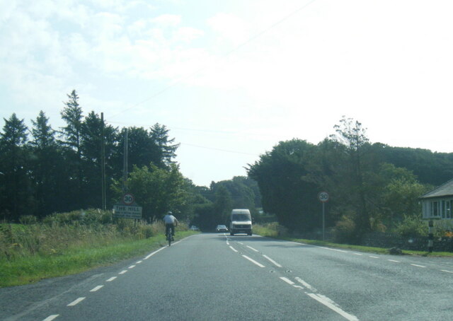
Crosshouse Hill offers breathtaking panoramic views of the surrounding countryside and nearby villages. On a clear day, one can see the rolling hills and valleys of Cumberland, as well as the Solway Firth and the Scottish coastline in the distance. The hill is a popular destination for hikers and nature enthusiasts, who can explore its various walking trails and enjoy the tranquility of the countryside.

The hill is also home to a diverse range of flora and fauna, including wildflowers, birds, and occasional sightings of small mammals. The surrounding area is designated as an Area of Outstanding Natural Beauty, ensuring the preservation of its natural heritage.

Overall, Crosshouse Hill is a beautiful and significant natural landmark in Cumberland, offering visitors the opportunity to immerse themselves in the stunning scenery and rich biodiversity of the region.

If you have any feedback on the listing, please let us know in the comments section below.

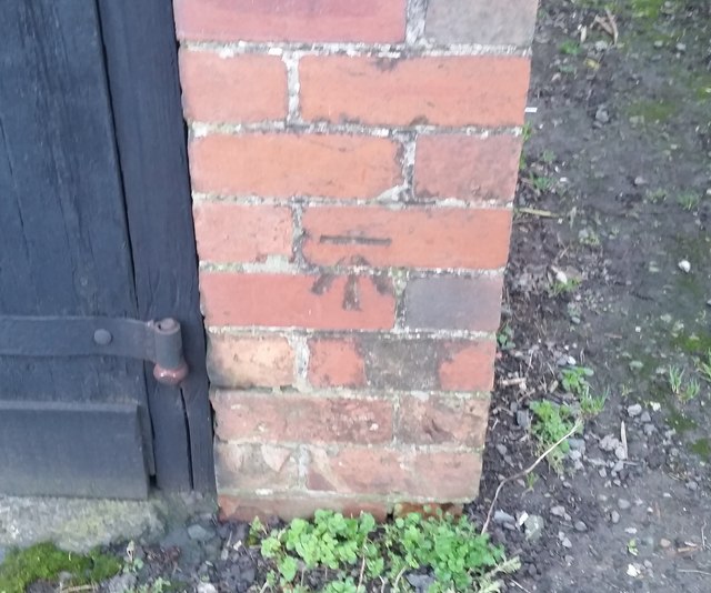
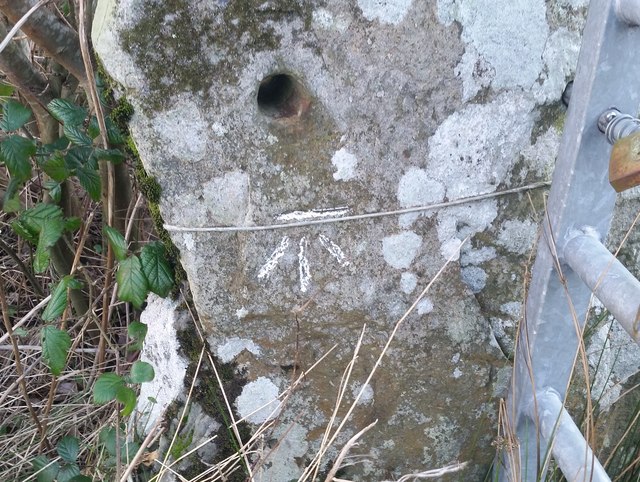
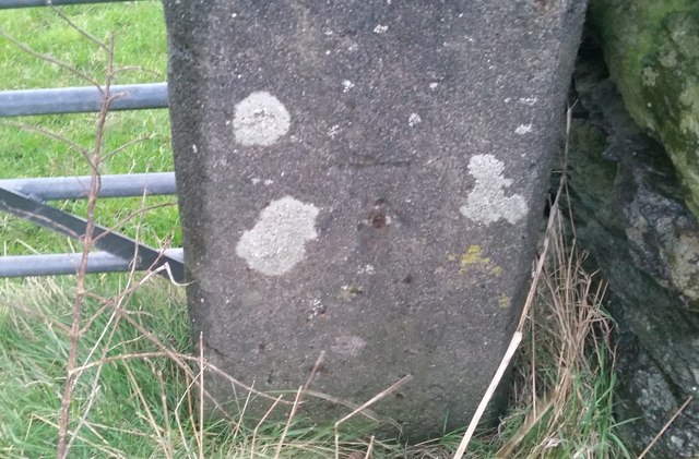
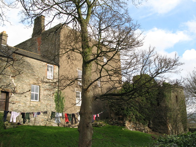
Crosshouse Hill Images

Images are sourced within 2km of 54.247224/-3.2650513 or Grid Reference SD1784. Thanks to Geograph Open Source API. All images are credited.

A5093 at The Green village boundary
A5093 at The Hill village boundary
A5093 south of The Hill
The Punch Bowl Inn, The Green, Millom
Ordnance Survey Cut Mark This OS cut mark can be found on Old Hall Cottage. It marks a point 39.156m above mean sea level.
Ordnance Survey Cut Mark
This OS cut mark can be found on Old Hall Cottage. It marks a point 39.156m above mean sea level.
Ordnance Survey Cut Mark This OS cut mark can be found on Briar Dene. It marks a point 19.020m above mean sea level.
Ordnance Survey Cut Mark
This OS cut mark can be found on Briar Dene. It marks a point 19.020m above mean sea level.
SRPS Cumbrian Coast Railtour 2018 : Green Road Station
Boundary Stone Toppled and damaged, over stream, south side of the A595.
Boundary Stone
Toppled and damaged, over stream, south side of the A595.
Ordnance Survey Cut Mark This OS cut mark can be found on the wall south side of the road. It marks a point 54.724m above mean sea level.
Ordnance Survey Cut Mark
This OS cut mark can be found on the wall south side of the road. It marks a point 54.724m above mean sea level.
Ordnance Survey Cut Mark This OS cut mark can be found on the rock face NE side of the road. It marks a point 56.565m above mean sea level.
Ordnance Survey Cut Mark
This OS cut mark can be found on the rock face NE side of the road. It marks a point 56.565m above mean sea level.
Ordnance Survey Cut Mark This OS cut mark can be found on the Village Hall SE side of the road. It marks a point 51.075m above mean sea level.
Ordnance Survey Cut Mark
This OS cut mark can be found on the Village Hall SE side of the road. It marks a point 51.075m above mean sea level.
Ordnance Survey Cut Mark This OS cut mark can be found on the gatepost south side of the road. It marks a point 59.576m above mean sea level.
Ordnance Survey Cut Mark
This OS cut mark can be found on the gatepost south side of the road. It marks a point 59.576m above mean sea level.
Ordnance Survey OSBM Bolt This OS Bolt can be found on the large boulder at the side of the barn at Low Broadgate. It marks a point 81.764m above mean sea level.
Ordnance Survey OSBM Bolt
This OS Bolt can be found on the large boulder at the side of the barn at Low Broadgate. It marks a point 81.764m above mean sea level.
Ordnance Survey Flush Bracket (G3081) This OS Flush Bracket can be found on Hall Bank. It marks a point 28.226m above mean sea level.
Ordnance Survey Flush Bracket (G3081)
This OS Flush Bracket can be found on Hall Bank. It marks a point 28.226m above mean sea level.
Ordnance Survey Cut Mark This OS cut mark can be found on the brick building at Waltham Nursery. It marks a point 5.925m above mean sea level.
Ordnance Survey Cut Mark
This OS cut mark can be found on the brick building at Waltham Nursery. It marks a point 5.925m above mean sea level.
Ordnance Survey Cut Mark This OS cut mark can be found on a gatepost SE side of the track. It marks a point 6.172m above mean sea level.
Ordnance Survey Cut Mark
This OS cut mark can be found on a gatepost SE side of the track. It marks a point 6.172m above mean sea level.
Ordnance Survey Flush Bracket (G3077) This OS Flush Bracket can be found on The Oaks. It marks a point 35.752m above mean sea level.
Ordnance Survey Flush Bracket (G3077)
This OS Flush Bracket can be found on The Oaks. It marks a point 35.752m above mean sea level.
Ordnance Survey Cut Mark This OS cut mark can be found on the gatepost NE side of the road. It marks a point 59.489m above mean sea level.
Ordnance Survey Cut Mark
This OS cut mark can be found on the gatepost NE side of the road. It marks a point 59.489m above mean sea level.
Show me another place!

Crosshouse Hill is located at Grid Ref: SD1784 (Lat: 54.247224, Lng: -3.2650513)

Administrative County: Cumbria

District: Copeland

Police Authority: Cumbria

What 3 Words

///smuggled.lavished.museum. Near Millom, Cumbria

Related Wikis

Arnaby

Arnaby is a village in Cumbria, England.

Millom Without

Millom Without is a civil parish in the county of Cumbria, England. It had a population of 1,638 in 2001, decreasing to 859 at the 2011 Census. Millom...

Thwaites, Cumbria

Thwaites is a small village near Duddon Valley and on the edge of the Duddon Estuary in the Lake District National Park in the Borough of Copeland, Cumbria...

St Anne's Church, Thwaites

St Anne's Church is in the village of Thwaites, Cumbria, England. It is an active Anglican parish church in the deanery of Millom, the archdeaconry of...

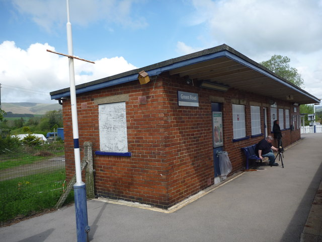
Green Road railway station

Green Road is a railway station on the Cumbrian Coast Line, which runs between Carlisle and Barrow-in-Furness. The station, situated 13+1⁄2 miles (22 km...

St Peter, Drigg

St Peter, Drigg is in Drigg, Cumbria, England. It is an active Anglican parish church in the deanery of Calder, and the diocese of Carlisle. Its benefice...

Millom Castle

Millom Castle is an ancient building at Millom in Cumbria. It is a Grade I listed building and scheduled ancient monument. == History == A manor on the...

Holy Trinity Church, Millom

Holy Trinity Church is a medieval building situated next to Millom Castle near the town of Millom, Cumbria, England. It is an active Anglican parish church...

Nearby Amenities

Located within 500m of 54.247224,-3.2650513
Bus Stop
Village Hall
Naptan AtcoCode: 090050164450
Naptan Bearing: E
Naptan BusStopType: CUS
Naptan CommonName: Village Hall
Naptan Indicator: near
Naptan Landmark: Village Hall
Naptan Street: Green Road
Naptan Verified: no
Source: naptan_import
Lat/Long: 54.2505831/-3.2619398
Power: tower
Lat/Long: 54.2479968/-3.2655219
Power: tower
Lat/Long: 54.2488274/-3.2610801
Power: tower
Lat/Long: 54.2470157/-3.2708955
Post Box
The Old Post Office
Post Box Type: wall
Lat/Long: 54.2508839/-3.2617051
Material: wood
Power: pole
Lat/Long: 54.2437693/-3.2603027
Material: wood
Power: pole
Lat/Long: 54.2435017/-3.2621871
Power: pole
Lat/Long: 54.2473168/-3.2574872
Power: pole
Lat/Long: 54.2480948/-3.2583151
Power: pole
Lat/Long: 54.2488592/-3.2592124
Power: pole
Lat/Long: 54.2492618/-3.2596698
Power: pole
Lat/Long: 54.249529/-3.2599766
Power: pole
Lat/Long: 54.2499927/-3.260562
Power: pole
Lat/Long: 54.2490791/-3.2610187
Material: wood
Power: pole
Lat/Long: 54.2489303/-3.2621708
Power: pole
Lat/Long: 54.248707/-3.2638787
Power: pole
Lat/Long: 54.249211/-3.2658413
Power: pole
Lat/Long: 54.2496203/-3.2674334
Power: pole
Lat/Long: 54.2499924/-3.2689155
Telephone
Defibrillator
Booth: K6
Colour: red
Covered: booth
Defibrillator Location: inside red phone box near Thwaites Village Hall, The Green
Emergency: defibrillator
Man Made: telephone_box
Lat/Long: 54.2508413/-3.2616009
Power: pole
Lat/Long: 54.2504148/-3.2609893
Power: pole
Lat/Long: 54.2505323/-3.2617083
Power: pole
Lat/Long: 54.2510791/-3.2619111
Power: pole
Lat/Long: 54.2513031/-3.2620061
Power: pole
Lat/Long: 54.250198/-3.260315
Bus Stop
Village Hall
Naptan AtcoCode: 090050162865
Naptan Bearing: W
Naptan BusStopType: CUS
Naptan CommonName: Village Hall
Naptan Indicator: near
Naptan Landmark: Village Hall
Naptan NaptanCode: cumawdga
Naptan Street: Green Road
Naptan Verified: no
Shelter: yes
Source: naptan_import
Lat/Long: 54.2505161/-3.261774
Barrier: stile
Lat/Long: 54.2500262/-3.2669842
Barrier: stile
Lat/Long: 54.2499416/-3.2689047
Barrier: stile
Lat/Long: 54.2500247/-3.2698917
Give Way
Direction: forward
Lat/Long: 54.2503847/-3.2624985
Give Way
Direction: forward
Lat/Long: 54.2505577/-3.2618674
Give Way
Direction: forward
Lat/Long: 54.2508082/-3.2617927
Give Way
Direction: backward
Lat/Long: 54.2506794/-3.2615221
Charging Station
Authentication App: yes
Capacity: 1
Fee: yes
Motorcar: yes
Network: Charge My Street
Operator: Thwaites Village Hall
Parking Fee: no
Payment App: yes
Ref: EG-05724
Socket Type2: 1
Socket Type2 Current: 32
Socket Type2 Output: 22kW
Socket Type2 Voltage: 415
Lat/Long: 54.2502436/-3.2620045
Charging Station
Authentication App: yes
Capacity: 1
Fee: yes
Motorcar: yes
Network: Charge My Street
Operator: Thwaites Village Hall
Parking Fee: no
Payment App: yes
Ref: EG-05725
Socket Type2: 1
Socket Type2 Current: 32
Socket Type2 Output: 22kW
Socket Type2 Voltage: 415
Lat/Long: 54.2502487/-3.2619791
The data included in this document is from www.openstreetmap.org. The data is made available under ODbL.

Have you been to Crosshouse Hill?

Leave your review of Crosshouse Hill below (or comments, questions and feedback).