Dollar Law

Hill, Mountain in Peeblesshire

Scotland

Dollar Law

Fence and moorland on Notman Law Looking towards Fifescar Knowe.
Fence and moorland on Notman Law Credit: wrobison

Dollar Law is a prominent hill located in Peeblesshire, Scotland. It is part of the Moffat Hills and is known for its impressive height and stunning views. Standing at an elevation of 2,797 feet (852 meters), it is considered one of the highest peaks in the region.

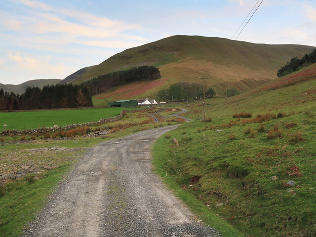
The hill gets its name from the nearby village of Dolphinton, which is situated to the northeast. Dollar Law is a popular destination for hikers and outdoor enthusiasts, offering a challenging yet rewarding climb. The ascent to the summit can be approached from various directions, with routes available from the north, south, and east.

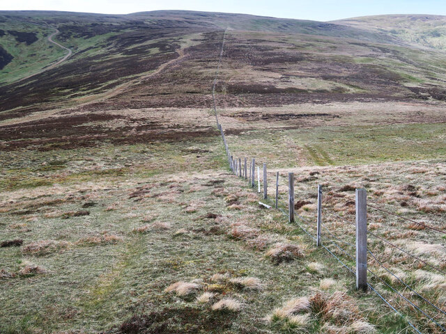
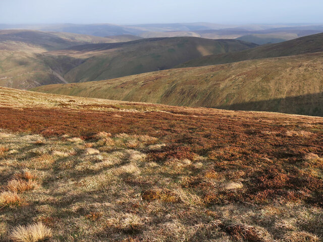
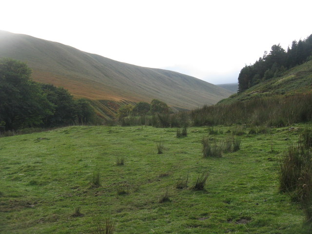
The terrain of Dollar Law is characterized by a mixture of heather moorland and grassy slopes, making for a picturesque landscape. As hikers make their way up the hill, they are treated to breathtaking views of the surrounding countryside, including the rolling hills of the Scottish Borders and the Pentland Hills to the north.

From the summit of Dollar Law, on a clear day, one can even catch glimpses of the distant peaks of the Southern Uplands and the Cairngorms National Park. The vastness and beauty of the landscape make it a perfect spot for photography and appreciating the natural wonders of Scotland.

Dollar Law is a haven for wildlife, with various bird species, including grouse and peregrine falcons, often spotted in the area. The hill is also home to a diverse range of plant life, including heather, bilberry, and cotton grass.

Overall, Dollar Law is a captivating destination for those seeking adventure, natural beauty, and breathtaking vistas. It offers a challenging yet rewarding climb, making it a favorite among outdoor enthusiasts and nature lovers alike.

If you have any feedback on the listing, please let us know in the comments section below.

Dollar Law Images

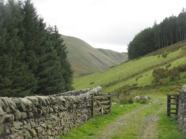
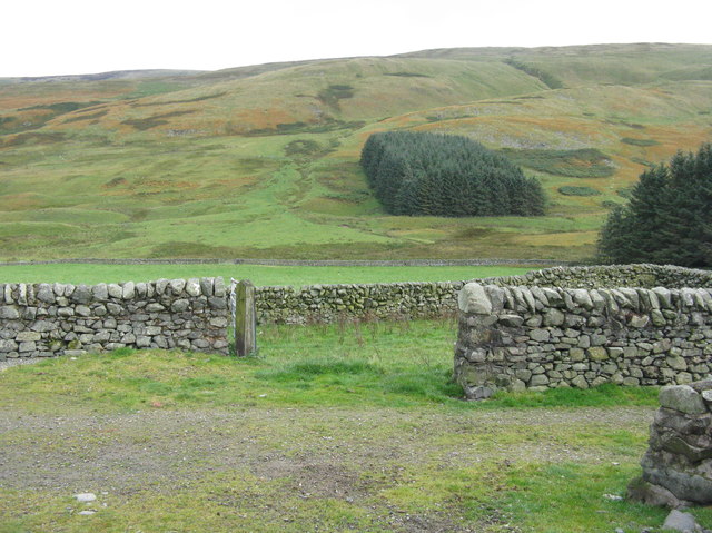
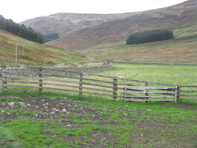
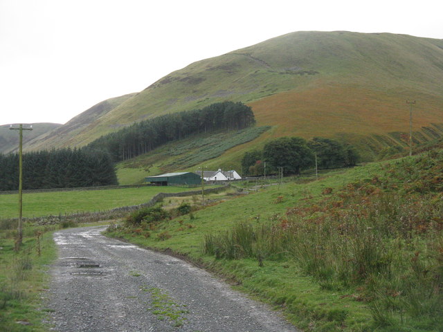
Images are sourced within 2km of 55.537286/-3.3039012 or Grid Reference NT1727. Thanks to Geograph Open Source API. All images are credited.

Fence and moorland on Notman Law Looking towards Fifescar Knowe.
Fence and moorland on Notman Law
Looking towards Fifescar Knowe.
The Thief's Road on Fifescar Knowe Looking towards Notman Law.
The Thief's Road on Fifescar Knowe
Looking towards Notman Law.
Fence and old dyke on Dollar Law Looking towards Fifescar Knowe with Broad Law on the right.
Fence and old dyke on Dollar Law
Looking towards Fifescar Knowe with Broad Law on the right.
Fence and moorland on Dollar Law Descending to Newholm Cairns Hill.
Fence and moorland on Dollar Law
Descending to Newholm Cairns Hill.
Moorland on Dollar Law East of the summit looking over Ugly Grain to Manor Rig.
Moorland on Dollar Law
East of the summit looking over Ugly Grain to Manor Rig.
Fence and old dyke descending Dollar Law A steep descent off the hill to Manorhead.
Fence and old dyke descending Dollar Law
A steep descent off the hill to Manorhead.
Track to Manorhead The old telephone poles are carrying a new fibre optic cable.
Track to Manorhead
The old telephone poles are carrying a new fibre optic cable.
Ugly Grain at Manorhead Mostly in the shadow of Manor Rig.
Ugly Grain at Manorhead
Mostly in the shadow of Manor Rig.
The head of the Manor Valley from Manorhead Some of the steep ridges around the coomb at the head of the Manor Valley.
The head of the Manor Valley from Manorhead
Some of the steep ridges around the coomb at the head of the Manor Valley.
Red Sike from Manorhead The head of the Manor Valley.
Red Sike from Manorhead
The head of the Manor Valley.
The Manor Valley Looking northeast from Manorhead.
The Manor Valley
Looking northeast from Manorhead.
The road to Manorhead  Ugly Grain burn flows past the house from the right, to join the main Manor Water valley on the left.
The road to Manorhead
Ugly Grain burn flows past the house from the right, to join the main Manor Water valley on the left.
Farm track to Manorhead A barn at Manorhead farm is just visible R of centre.
Farm track to Manorhead
A barn at Manorhead farm is just visible R of centre.
Manor Valley from Manorhead farm The track beyond the farm leads to the rough pasture and grazing grounds of the hill sheep. The shelter belt is on Greenside Law.
Manor Valley from Manorhead farm
The track beyond the farm leads to the rough pasture and grazing grounds of the hill sheep. The shelter belt is on Greenside Law.
Manorhead farm A hill farm near the head of this beautiful Borders valley.
Manorhead farm
A hill farm near the head of this beautiful Borders valley.
Manor Head The encircling steep slopes at the head of the Manor Valley.
Manor Head
The encircling steep slopes at the head of the Manor Valley.
Hill track, Cramalt Crook A track up from Cramalt farm by Megget Reservoir, nearing the ridge at Dun Law.
Hill track, Cramalt Crook
A track up from Cramalt farm by Megget Reservoir, nearing the ridge at Dun Law.
Fence to Notman Law summit Looking back to the rounded top from the angle in the fence, where the track from Megget crosses on the way towards Fifescar Knowe.
Fence to Notman Law summit
Looking back to the rounded top from the angle in the fence, where the track from Megget crosses on the way towards Fifescar Knowe.
Show me another place!

Dollar Law is located at Grid Ref: NT1727 (Lat: 55.537286, Lng: -3.3039012)

Unitary Authority: The Scottish Borders

Police Authority: The Lothians and Scottish Borders

What 3 Words

///hoops.driving.destiny. Near Peebles, Scottish Borders

Nearby Locations

Fifescar Knowe Dollar Law

Related Wikis

Black Law (hill)

Black Law is a hill in the Manor Hills range, part of the Southern Uplands of Scotland. One of the more remote Donalds, it does not easily combine into...

Craigierig

Craigierig is a village on the Megget Reservoir, in the Scottish Borders area of Scotland, in the former Selkirkshire. Places nearby include the Glengaber...

Broad Law

Broad Law is a hill in the Manor Hills range, part of the Southern Uplands of Scotland. The second-highest point in the Southern Uplands and the highest...

Megget

Megget is a former chapelry or parish containing the valley of Megget Water, now forming the westernmost part of the parish of Yarrow, Selkirkshire in...

Nearby Amenities

Located within 500m of 55.537286,-3.3039012
Dollar Law
Natural: peak
Wikidata: Q24649338
Wikipedia: en:Dollar Law
Lat/Long: 55.5376289/-3.3037521
The data included in this document is from www.openstreetmap.org. The data is made available under ODbL.

Have you been to Dollar Law?

Leave your review of Dollar Law below (or comments, questions and feedback).