Scroggy Hill
Hill, Mountain in Midlothian
Scotland
Scroggy Hill

Scroggy Hill is a prominent geographical feature located in Midlothian, a county in southeastern Scotland. It is classified as a hill rather than a mountain, as it stands at an elevation of 457 meters (1,499 feet) above sea level. Despite its moderate height, Scroggy Hill offers breathtaking panoramic views of the surrounding landscape, making it a popular destination for hikers, nature enthusiasts, and photographers.
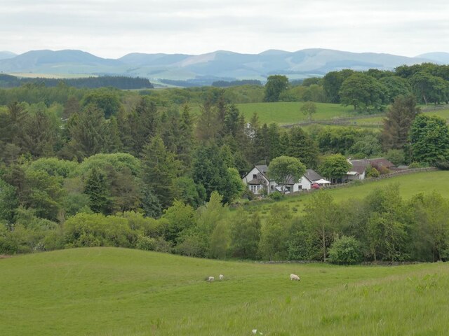
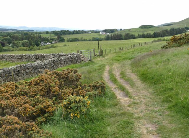
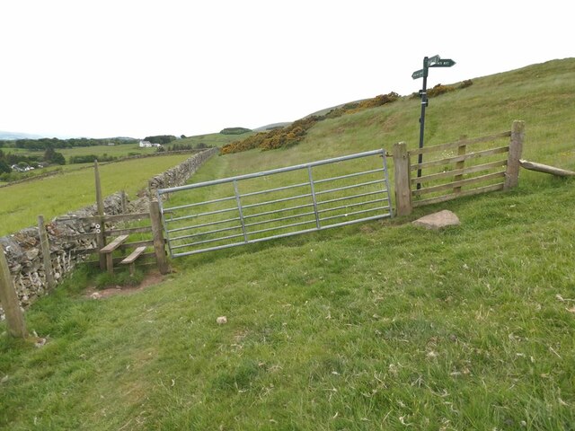
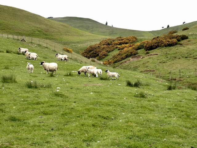
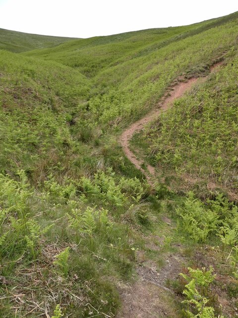
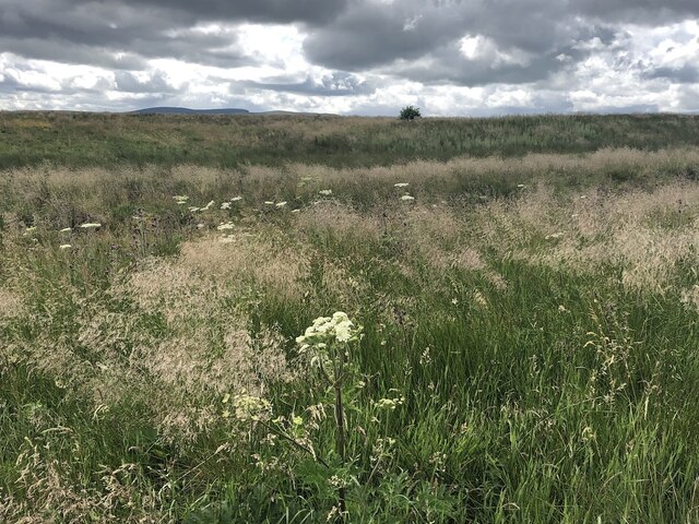
The hill is situated in an area of Midlothian known for its rolling hills and picturesque countryside. It is characterized by its gently sloping sides, covered in a patchwork of green fields, heather moorland, and scattered woodlands. The terrain is relatively easy to navigate, with well-defined paths and trails that lead to the summit, making it accessible for visitors of different fitness levels.
At the top of Scroggy Hill, visitors are rewarded with unobstructed views of the surrounding Midlothian countryside, including the neighboring hills and distant valleys. On clear days, it is even possible to see as far as the Firth of Forth, a large estuary that separates the counties of Fife and Lothian.
Scroggy Hill also boasts a rich diversity of flora and fauna. The hill is home to various plant species, including heather, bracken, and wildflowers, which add vibrant colors to the landscape. Wildlife such as birds, rabbits, and deer can also be spotted in the area, adding to the natural beauty and tranquility of the hill.
In summary, Scroggy Hill is a captivating natural landmark in Midlothian, Scotland. With its stunning views, accessible trails, and diverse wildlife, it offers a memorable experience for those seeking to immerse themselves in the region's natural beauty.
If you have any feedback on the listing, please let us know in the comments section below.
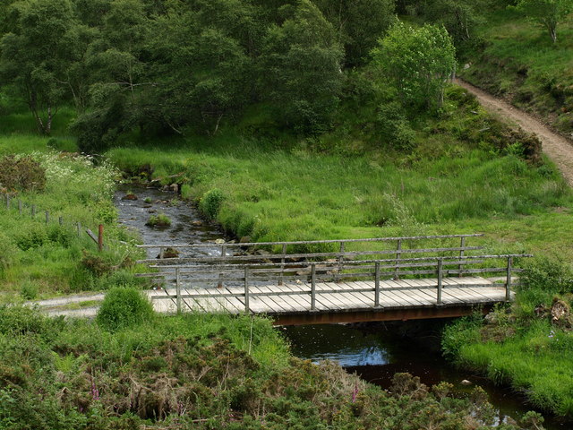
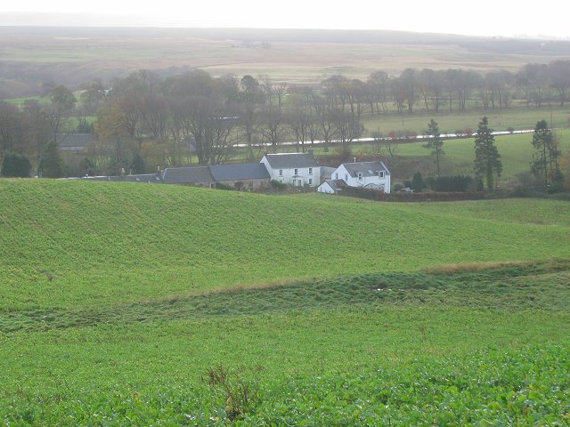
Scroggy Hill Images
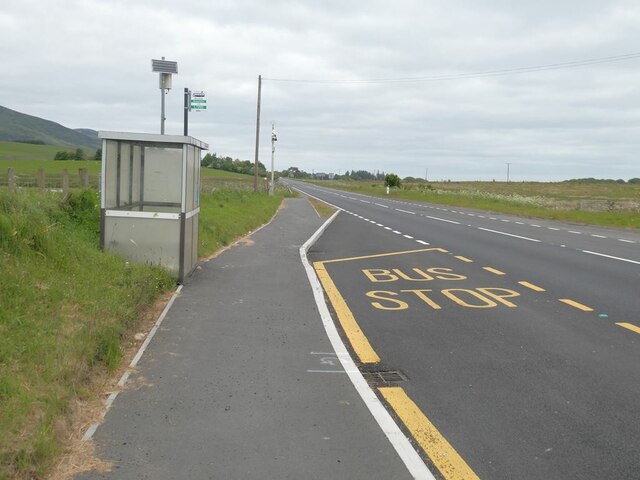
Images are sourced within 2km of 55.812561/-3.3158848 or Grid Reference NT1758. Thanks to Geograph Open Source API. All images are credited.


Scroggy Hill is located at Grid Ref: NT1758 (Lat: 55.812561, Lng: -3.3158848)
Unitary Authority: Midlothian
Police Authority: The Lothians and Scottish Borders
What 3 Words
///handover.cringes.envelope. Near Penicuik, Midlothian
Nearby Locations
Related Wikis
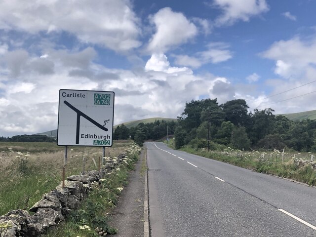
Nine Mile Burn
Nine Mile Burn is a hamlet in Midlothian, Scotland, the last in Midlothian when heading south on the A702 road. It is located at the foot of the Pentland...

Eight Mile Burn
Eight Mile Burn is a small settlement in Midlothian, South East Scotland, at the base of Pentland Hills Regional Park. It is approximately 11 miles from...

South Black Hill
South Black Hill is a hill in the Pentland Hills range of Scotland. It is located in the west of Midlothian on the east flank of the approximately 25 km...

Brunstane Castle
Brunstane Castle (alternatively Brunston, Brunstain or Brunstone Castle) is a ruined tower house, dating from the 16th century, around 2 miles (3.2 km...
Nearby Amenities
Located within 500m of 55.812561,-3.3158848Have you been to Scroggy Hill?
Leave your review of Scroggy Hill below (or comments, questions and feedback).