Dod Hill
Hill, Mountain in Midlothian
Scotland
Dod Hill

Dod Hill is a prominent hill located in the Midlothian region of Scotland. Situated approximately 8 miles south of the city of Edinburgh, Dod Hill forms part of the picturesque Pentland Hills range. Rising to an elevation of around 1,746 feet (532 meters), it is considered one of the highest peaks in the Pentlands.
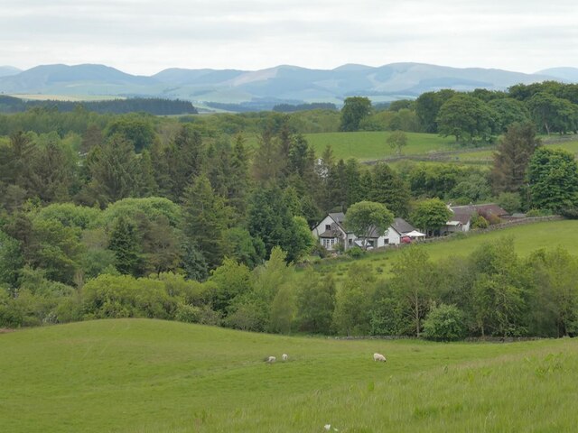
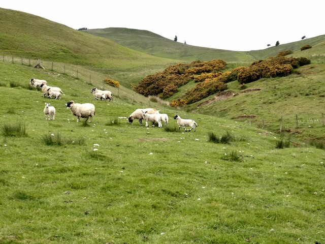
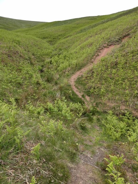
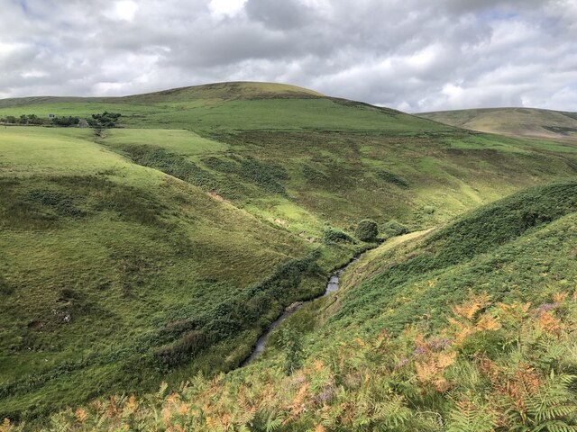
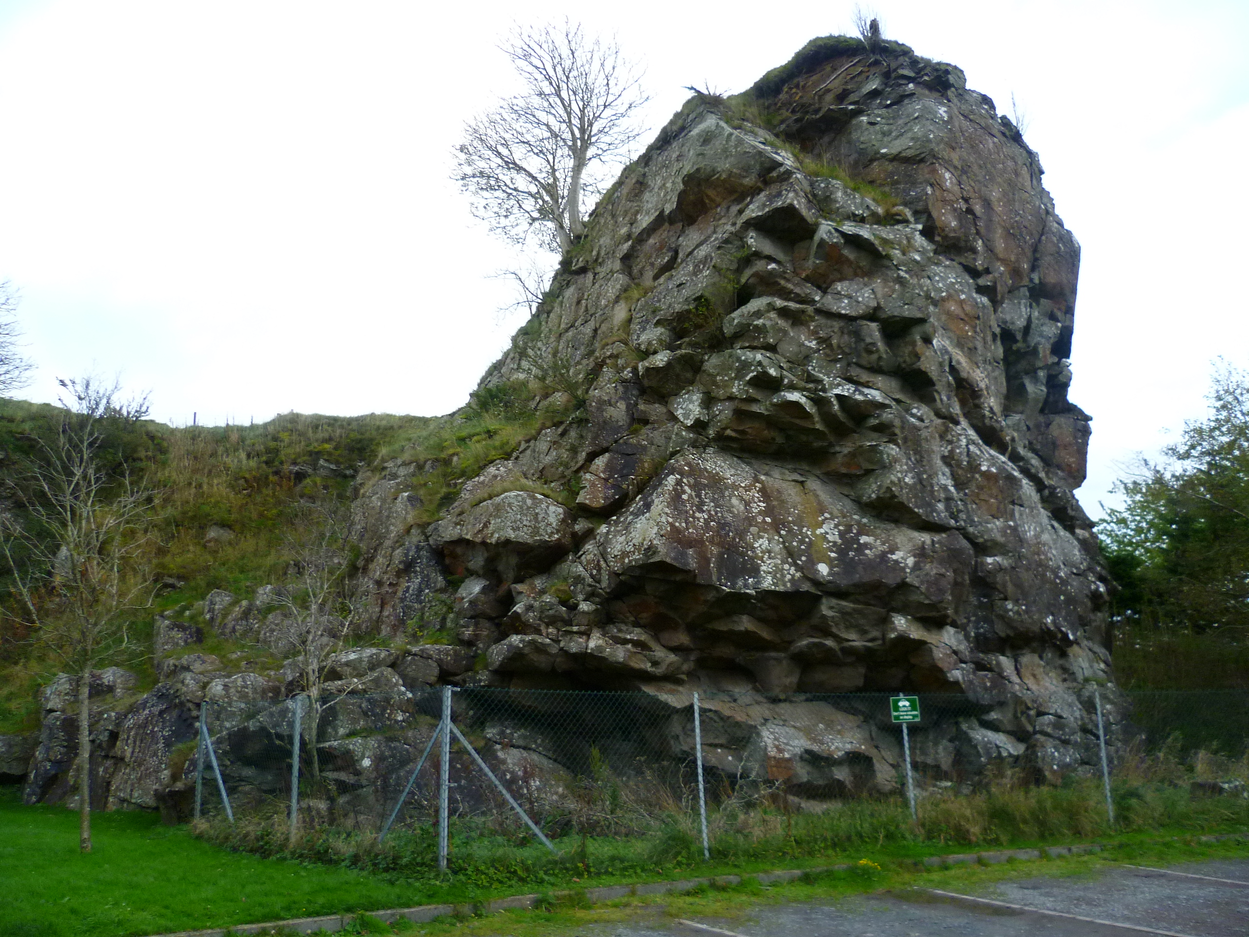
The hill, characterized by its rounded shape and rocky outcrops, offers breathtaking panoramic views of the surrounding countryside. On a clear day, visitors can admire the stunning vistas stretching from the Firth of Forth to the north, to the rolling hills of the Scottish Borders in the south. The summit of Dod Hill is marked by a trig point, providing a focal point for hikers and mountaineers who enjoy exploring this beautiful region.
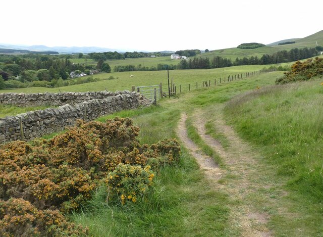
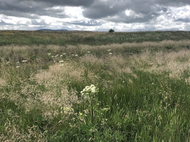
The area around Dod Hill is rich in natural beauty, with diverse flora and fauna. The hillside is covered in heather and grasses, while the lower slopes are adorned with a mix of deciduous and coniferous woodlands. This makes it an ideal habitat for a variety of wildlife, including deer, foxes, and various bird species.
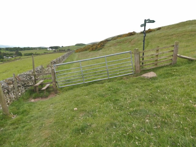
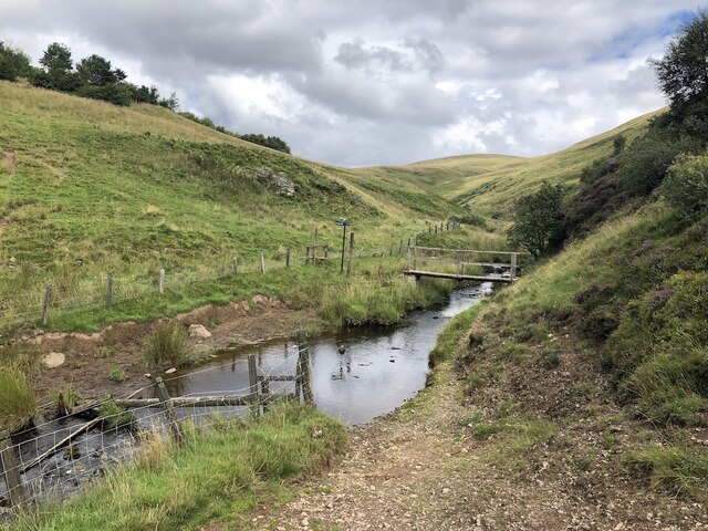
Dod Hill is a popular destination for outdoor enthusiasts, offering a range of activities such as hillwalking, hiking, and trail running. There are several well-maintained paths leading to the summit, providing different levels of challenge for all abilities. Additionally, the nearby reservoirs of Glencorse and Loganlee offer opportunities for fishing and picnicking.
Overall, Dod Hill is a natural gem within the Midlothian region, attracting visitors seeking to connect with nature and enjoy the breathtaking scenery of the Pentland Hills.
If you have any feedback on the listing, please let us know in the comments section below.
Dod Hill Images
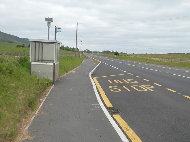
Images are sourced within 2km of 55.807068/-3.3261823 or Grid Reference NT1657. Thanks to Geograph Open Source API. All images are credited.


Dod Hill is located at Grid Ref: NT1657 (Lat: 55.807068, Lng: -3.3261823)
Unitary Authority: Midlothian
Police Authority: The Lothians and Scottish Borders
What 3 Words
///tastier.procured.deflated. Near West Linton, Scottish Borders
Nearby Locations
Related Wikis
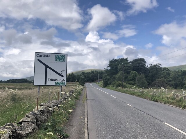
Nine Mile Burn
Nine Mile Burn is a hamlet in Midlothian, Scotland, the last in Midlothian when heading south on the A702 road. It is located at the foot of the Pentland...
Carlops
Carlops (Scottish Gaelic: Leum na Caillich) is a small village in the Pentland Hills, within the Scottish Borders area of Scotland, close to the boundary...

Eight Mile Burn
Eight Mile Burn is a small settlement in Midlothian, South East Scotland, at the base of Pentland Hills Regional Park. It is approximately 11 miles from...
Pentland Hills
The Pentland Hills are a range of hills southwest of Edinburgh, Scotland. The range is around twenty miles (thirty kilometres) in length, and runs southwest...
Nearby Amenities
Located within 500m of 55.807068,-3.3261823Have you been to Dod Hill?
Leave your review of Dod Hill below (or comments, questions and feedback).