Crook Hill

Hill, Mountain in Devon East Devon

England

Crook Hill

On the A30 heading east, approaching the junction for the A35
On the A30 heading east, approaching the junction for the A35 Credit: Rob Purvis

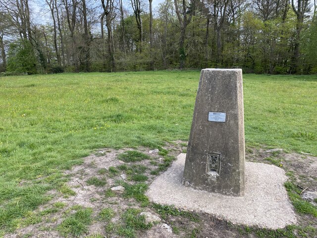
Crook Hill, located in Devon, is a prominent hill/mountain that offers stunning views and captivating natural features. Rising to an elevation of approximately 290 meters (950 feet), it stands as a prominent landmark in the region. Situated within the Dartmoor National Park, Crook Hill is surrounded by picturesque landscapes and is a popular destination for outdoor enthusiasts and nature lovers.

The hill is characterized by its rugged and rocky terrain, covered with heather and gorse vegetation. Its distinctive crook-shaped summit is what lends the hill its name. From the top, visitors can enjoy breathtaking panoramic views of the surrounding moorland, rolling hills, and distant tors. On clear days, the views extend as far as the English Channel.

Crook Hill is a haven for wildlife, with diverse species inhabiting its slopes and surrounding areas. Visitors may spot a variety of bird species, such as skylarks, buzzards, and peregrine falcons, soaring above the hill. The hillside is also home to various small mammals, including rabbits, foxes, and deer.

For outdoor enthusiasts, Crook Hill offers excellent opportunities for hiking, walking, and nature exploration. Several trails and paths wind their way up the hill, providing different levels of difficulty and routes to suit all abilities. The hill's proximity to Dartmoor National Park means that it is often incorporated into longer hikes or walks, allowing visitors to explore the wider area.

Overall, Crook Hill in Devon is a captivating natural landmark, offering stunning views, diverse wildlife, and opportunities for outdoor activities. Its unique shape, scenic surroundings, and accessibility make it a popular destination for locals and tourists alike.

If you have any feedback on the listing, please let us know in the comments section below.
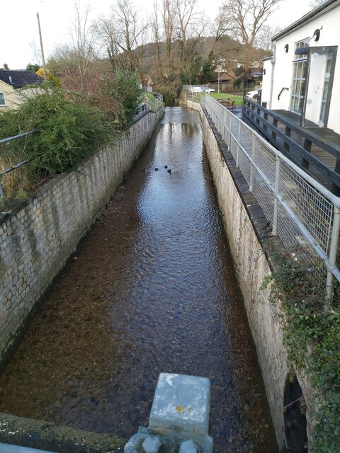
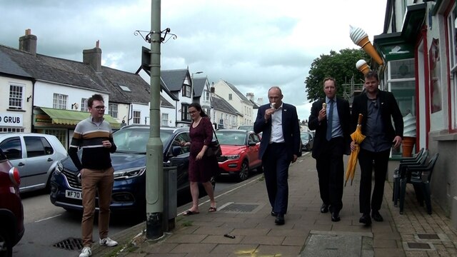
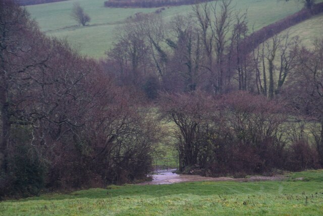
Crook Hill Images

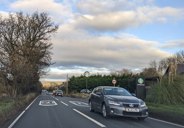
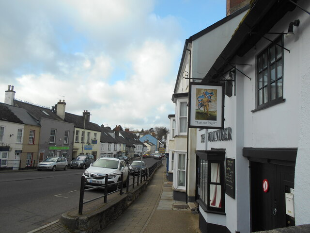
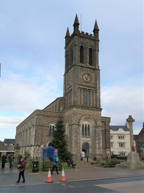
Images are sourced within 2km of 50.814802/-3.1872933 or Grid Reference ST1602. Thanks to Geograph Open Source API. All images are credited.

On the A30 heading east, approaching the junction for the A35
Passing Starbucks on the A30, heading north-east
An OS Bench Mark Situated on the tower of St Paul's church. High street Honiton.
It is not visible from the road.
An OS Bench Mark
Situated on the tower of St Paul's church. High street Honiton. It is not visible from the road.
Smith's cottages Viewed through an archway on Honiton High Street.
The building to the left was once an antiques centre.
Over the years there has been a steady decline in antique shops on the High Street.
Smith's cottages
Viewed through an archway on Honiton High Street. The building to the left was once an antiques centre. Over the years there has been a steady decline in antique shops on the High Street.
Looking West along Honiton High street Late February .
The Volunteer public house can be seen to the right.
Looking West along Honiton High street
Late February . The Volunteer public house can be seen to the right.
High Street in Honiton A view up the High Street in Honiton in Devon which is also the A35 and a historical Roman Road.
High Street in Honiton
A view up the High Street in Honiton in Devon which is also the A35 and a historical Roman Road.
Cars and buildings in Honiton
Dumpdon Trig Point Flush Bracket S1709
St Paul's Parish Church in Honiton A front view of St Paul's Parish Church as seen from the A35 High Street, Roman Road that runs through the middle of Honiton in Devon.
St Paul's Parish Church in Honiton
A front view of St Paul's Parish Church as seen from the A35 High Street, Roman Road that runs through the middle of Honiton in Devon.
Bed & Breakfast Accommodation A residential house converted into The Railway Bed & Breakfast accommodation on Queen Street in the centre of Honiton in Devon.
Bed & Breakfast Accommodation
A residential house converted into The Railway Bed & Breakfast accommodation on Queen Street in the centre of Honiton in Devon.
The Gissage in Honiton A view of the River Gissage as viewed from the main A35 Roman Road that runs through the centre of Honiton in Devon. The Gissage runs into the River Otter to the north of Honiton.
The Gissage in Honiton
A view of the River Gissage as viewed from the main A35 Roman Road that runs through the centre of Honiton in Devon. The Gissage runs into the River Otter to the north of Honiton.
Honiton : High Street People crossing the road.
Honiton : High Street
People crossing the road.
Honiton : High Street A tractor heads through Honiton High Street.
Honiton : High Street
A tractor heads through Honiton High Street.
Honiton : High Street People, including leader of the Liberal Democrats, Ed Davey, and Lib Dem candidate for the Tiverton & Honiton By Election, Richard Foord, enjoy an ice cream.
Honiton : High Street
People, including leader of the Liberal Democrats, Ed Davey, and Lib Dem candidate for the Tiverton & Honiton By Election, Richard Foord, enjoy an ice cream.
Honiton : High Street Outside the Lib Dem office in Honiton.
Honiton : High Street
Outside the Lib Dem office in Honiton.
Honiton : High Street The Lib Dem leader Ed Davey and candidate for the Tiverton & Honiton by-election Richard Foord are welcomed by excited crowds.
Honiton : High Street
The Lib Dem leader Ed Davey and candidate for the Tiverton & Honiton by-election Richard Foord are welcomed by excited crowds.
A stream from Pulshaynes hill A small stream runs past Iveden Copse and emerges into a culvert running parallel to the road.
A stream from Pulshaynes hill
A small stream runs past Iveden Copse and emerges into a culvert running parallel to the road.
Luppitt : Grassy Field Looking towards the brook alongside the field.
Luppitt : Grassy Field
Looking towards the brook alongside the field.
Show me another place!

Crook Hill is located at Grid Ref: ST1602 (Lat: 50.814802, Lng: -3.1872933)

Administrative County: Devon

District: East Devon

Police Authority: Devon and Cornwall

What 3 Words

///trains.stews.gladiators. Near Honiton, Devon

Nearby Locations

Crook Crook Hill

Related Wikis

Combe Raleigh

Combe Raleigh () is a village and civil parish in the county of Devon, England. The village lies about 1.5 miles north of the town of Honiton, and the...

Honiton Community College

Honiton Community College is a comprehensive academy school located in Honiton, Devon, England. It was originally established as Honiton Secondary School...

Honiton

Honiton () is a market town and civil parish in East Devon, situated close to the River Otter, 17 miles (27 km) north east of Exeter in the county of Devon...

Honiton railway station

Honiton railway station serves the town of Honiton in east Devon, England. It is operated by South Western Railway and is 154 miles 60 chains (249.0 km...

Nearby Amenities

Located within 500m of 50.814802,-3.1872933
Combe Raleigh
Place: village
Source: OS_OpenData_StreetView
Lat/Long: 50.8146177/-3.1943734
Post Box
Combe Raleigh
Collection Times: Mo-Fr 17:00; Sa 10:45
Operator: Royal Mail
Operator Wikidata: Q638098
Post Box Type: lamp
Postal Code: EX14 4TQ
Ref: EX14 7
Royal Cypher: EIIR
Royal Cypher Wikidata: Q33102113
Lat/Long: 50.8153403/-3.1933562
Bus Stop
Bus: yes
Public Transport: platform
Lat/Long: 50.8168654/-3.1886174
Public Bookcase
Booth: K6
Disused Amenity: telephone
Man Made: telephone_box
Public Bookcase Type: phone_box
Lat/Long: 50.8158767/-3.1922924
Direction: 170
Generator Method: photovoltaic
Generator Output Electricity: yes
Generator Solar Modules: 5
Generator Source: solar
Generator Type: solar_photovoltaic_panel
Location: ground
Power: generator
Lat/Long: 50.8123254/-3.1818777
Generator Method: photovoltaic
Generator Output Electricity: yes
Generator Source: solar
Generator Type: solar_photovoltaic_panel
Location: roof
Power: generator
Lat/Long: 50.8160207/-3.1912024
Generator Method: photovoltaic
Generator Output Electricity: yes
Generator Source: solar
Generator Type: solar_photovoltaic_panel
Location: roof
Power: generator
Lat/Long: 50.8149742/-3.1937371
Generator Method: photovoltaic
Generator Output Electricity: yes
Generator Source: solar
Generator Type: solar_photovoltaic_panel
Location: roof
Power: generator
Lat/Long: 50.8150064/-3.193823
Power: pole
Source: bing
Transformer: distribution
Lat/Long: 50.8171307/-3.1892793
Power: pole
Source: bing
Transformer: distribution
Lat/Long: 50.8163384/-3.1913124
Power: pole
Source: bing
Lat/Long: 50.8166842/-3.191755
Power: pole
Source: bing
Lat/Long: 50.817223/-3.1905292
Power: pole
Source: bing
Lat/Long: 50.8172968/-3.1916182
Power: pole
Source: bing
Lat/Long: 50.8173612/-3.1926911
Bench
Lat/Long: 50.8158853/-3.1922332
Advertising: board
Lat/Long: 50.8158974/-3.192218
Defibrillator
Defibrillator Location: on veranda of Combe Raleigh Village Hall
Emergency: defibrillator
Indoor: no
Lat/Long: 50.8159572/-3.1922651
The data included in this document is from www.openstreetmap.org. The data is made available under ODbL.

Have you been to Crook Hill?

Leave your review of Crook Hill below (or comments, questions and feedback).