Seamark

Hill, Mountain in Fife

Scotland

Seamark

Wetland at Loch Leven National Nature Reserve Looking north-west over wetlands on the southern side of Loch Leven.
Wetland at Loch Leven National Nature Reserve Credit: Scott Cormie

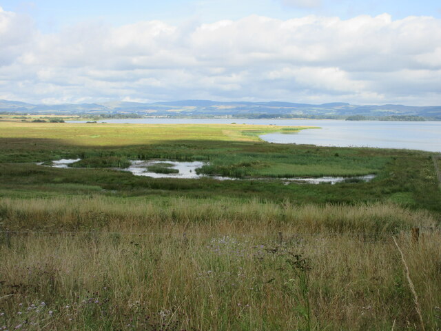
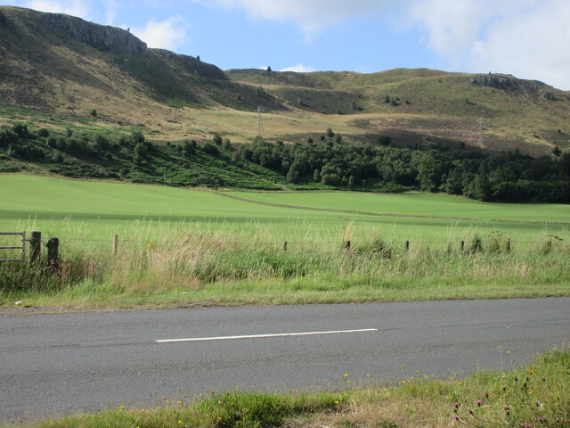
Seamark is a prominent hill located in the county of Fife, Scotland. Standing at an elevation of approximately 225 meters (738 feet), it is known for its scenic beauty and panoramic views of the surrounding landscapes. The hill is situated near the town of Crail, on the eastern coast of Fife, offering visitors and locals alike an opportunity to enjoy its natural splendor.

Seamark is a popular destination for hikers, nature enthusiasts, and photographers due to its accessible trails and breathtaking vistas. The hill is characterized by its gentle slopes, making it suitable for individuals of various fitness levels to navigate. As one ascends the hill, they are treated to stunning views of the North Sea, neighboring coastal towns, and the picturesque Fife countryside.

In addition to its scenic appeal, Seamark is also home to a diverse range of plant and animal species. The hill's varied habitats, including grasslands and woodlands, provide refuge for numerous wildlife, such as birds, small mammals, and insects. Additionally, the surrounding coastal areas offer opportunities for birdwatching, as several seabird species can be spotted along the cliffs and shoreline.

Seamark is not only a natural gem but also holds historical significance. The hill is believed to have been an important landmark for sailors in the past, serving as a navigational reference point. It is said that the hill's name, Seamark, originates from this maritime connection.

Overall, Seamark in Fife is a captivating hill that offers a blend of natural beauty, recreational opportunities, and historical significance. Whether one seeks a peaceful walk, stunning vistas, or a chance to connect with nature, Seamark is a must-visit destination in the region.

If you have any feedback on the listing, please let us know in the comments section below.
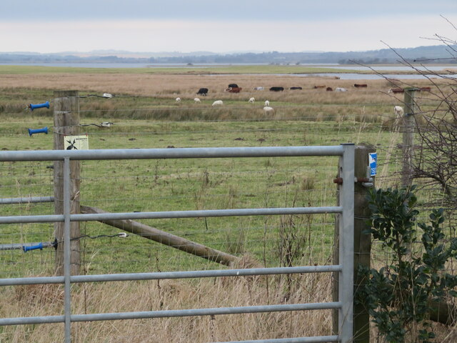
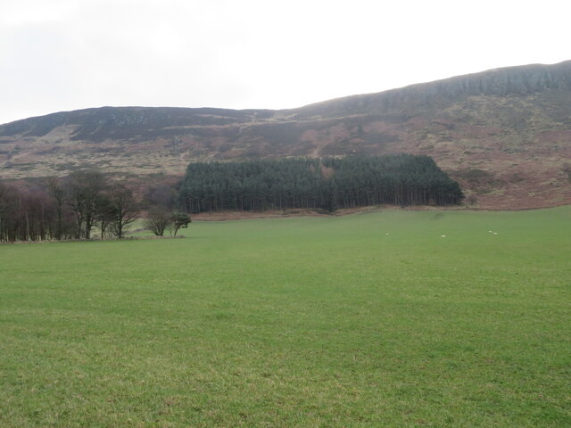
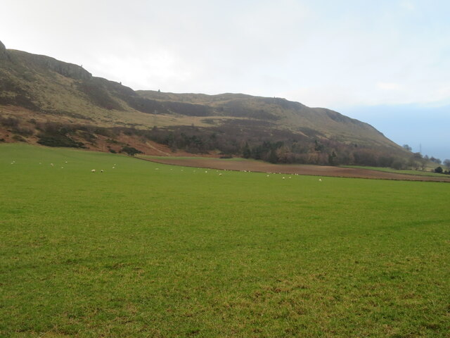
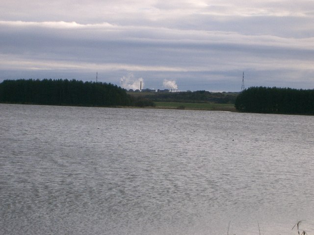
Seamark Images

Images are sourced within 2km of 56.163963/-3.3588289 or Grid Reference NT1597. Thanks to Geograph Open Source API. All images are credited.

Wetland at Loch Leven National Nature Reserve Looking north-west over wetlands on the southern side of Loch Leven.
Wetland at Loch Leven National Nature Reserve
Looking north-west over wetlands on the southern side of Loch Leven.
Woodland on the northern slopes of Benarty Hill Looking over the B9097 from the Loch Leven Trail, to woodland under the northern escarpment of Benarty Hill.
Woodland on the northern slopes of Benarty Hill
Looking over the B9097 from the Loch Leven Trail, to woodland under the northern escarpment of Benarty Hill.
Pastureland south of Loch Leven Looking northwards from the viewpoint at Brackley over pastureland grazed by cattle and sheep, with Loch Leven in the distance.
Pastureland south of Loch Leven
Looking northwards from the viewpoint at Brackley over pastureland grazed by cattle and sheep, with Loch Leven in the distance.
Loch Leven Heritage Trail Milestone (Findatie) Milestone (in km), on the Loch Leven Trail west of Findatie towards the south-eastern corner of the loch.
Loch Leven Heritage Trail Milestone (Findatie)
Milestone (in km), on the Loch Leven Trail west of Findatie towards the south-eastern corner of the loch.
Loch Leven Heritage Trail Milestone (Vane Farm) Milestone (in km), on the Loch Leven Trail near Vane Farm on the south side of the loch.
Loch Leven Heritage Trail Milestone (Vane Farm)
Milestone (in km), on the Loch Leven Trail near Vane Farm on the south side of the loch.
Farmland at Gairneybank Looking north from the B9097. Newly ploughed stubble and an adjacent grass field.
Farmland at Gairneybank
Looking north from the B9097. Newly ploughed stubble and an adjacent grass field.
Benarty Hill Looking south from near West Brackley.
Benarty Hill
Looking south from near West Brackley.
Conservation grazing at Vane Farm Between Loch Leven and Benarty Hill, part of the RSPB Vane Farm Nature Reserve.
Conservation grazing at Vane Farm
Between Loch Leven and Benarty Hill, part of the RSPB Vane Farm Nature Reserve.
Plantations on Benarty Hill At the boundary between hill and farmland.
Plantations on Benarty Hill
At the boundary between hill and farmland.
Sheep pasture at East Brackley And the lower slopes of Benarty Hill.
Sheep pasture at East Brackley
And the lower slopes of Benarty Hill.
Loch Leven, with sunlight on St Serf's Island The rest of the landscape was in cloud, and suddenly the island lit up!
Loch Leven, with sunlight on St Serf's Island
The rest of the landscape was in cloud, and suddenly the island lit up!
Ballingry Cemetery, Fife With Navitie Hill beyond.
Ballingry Cemetery, Fife
With Navitie Hill beyond.
Ballingry Cemetery, Fife With houses on Navitie Park, and the slopes of Navitie Hill beyond.
Ballingry Cemetery, Fife
With houses on Navitie Park, and the slopes of Navitie Hill beyond.
Tiny waterfall in Benarty Woods This stream runs off the plateau with Benarty Hill and drops down through the trees. Here it crosses underneath the path traversing the hillside.
Tiny waterfall in Benarty Woods
This stream runs off the plateau with Benarty Hill and drops down through the trees. Here it crosses underneath the path traversing the hillside.
Stile at Benarty Hill Just beyond the summit of Benarty Hill, this small stile leads across the fence, a bit further onto the steep northern slopes. Views of Loch Leven beyond. Snow showers approaching from the west.
Stile at Benarty Hill
Just beyond the summit of Benarty Hill, this small stile leads across the fence, a bit further onto the steep northern slopes. Views of Loch Leven beyond. Snow showers approaching from the west.
Tree on the edge Impressive tree on the edge of the Benarty Hill plateau. A smattering of snow on the hills beyond Loch leven.
Tree on the edge
Impressive tree on the edge of the Benarty Hill plateau. A smattering of snow on the hills beyond Loch leven.
Sheep west of Ballingry This field is on the track that links Benarty Hill with Lochore Meadows.
Sheep west of Ballingry
This field is on the track that links Benarty Hill with Lochore Meadows.
Track through Benarty Woods This travel track links the plateau of Benarty Hill with the road.
Track through Benarty Woods
This travel track links the plateau of Benarty Hill with the road.
Show me another place!

Seamark is located at Grid Ref: NT1597 (Lat: 56.163963, Lng: -3.3588289)

Unitary Authority: Fife

Police Authority: Fife

What 3 Words

///suspended.widest.gravy. Near Ballingry, Fife

Nearby Locations

Benarty Hill Seamark

Related Wikis

Benarty Hill

Benarty Hill, locally simply Benarty, rises above and to the west of Ballingry, in the west of Fife, Scotland. The summit ridge forms the boundary with...

Loch Ore

Loch Ore is a loch situated in Fife, Scotland. It forms the core of Lochore Meadows Country Park. It is used mainly for leisure purposes, especially yachting...

Benarty

Benarty is the name informally used to refer to the ex-mining towns of Ballingry and Lochore and the villages of Crosshill, Lochcraig and Glencraig. The...

Ballingry

Ballingry ( or locally or (older) ); Scots: Ballingry, Bingry, Scottish Gaelic: Baile Iongrach) is a small town in Fife, Scotland. It is near the boundary...

Nearby Amenities

Located within 500m of 56.163963,-3.3588289
Benarty Hill
Corbett: no
Ele: 356
Graham: no
Marilyn: yes
Munro: no
Natural: peak
Prominence: 228
Source: npe
Wikidata: Q4886867
Wikipedia: en:Benarty Hill
Lat/Long: 56.166041/-3.3642423
Natural: spring
Lat/Long: 56.166177/-3.3564965
Seamark
Natural: peak
Lat/Long: 56.1627565/-3.3581168
Natural: spring
Lat/Long: 56.1640113/-3.3559151
Direction: 160
Tourism: viewpoint
Lat/Long: 56.1597568/-3.3562252
The data included in this document is from www.openstreetmap.org. The data is made available under ODbL.

Have you been to Seamark?

Leave your review of Seamark below (or comments, questions and feedback).