Black Hill

Hill, Mountain in Fife

Scotland

Black Hill

Farm track, Hill of Beath A dark wet day during a gale.
Farm track, Hill of Beath Credit: Richard Webb

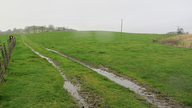
Black Hill is a prominent hill located in Fife, Scotland, known for its picturesque landscapes and historical significance. Rising to an elevation of approximately 312 meters (1,024 feet), it lies within close proximity to the village of Auchtertool and is part of the larger Lomond Hills Regional Park.

The hill is characterized by its distinctive black-colored soil, which gives it its name. The summit offers breathtaking panoramic views of the surrounding countryside, including the nearby Largo Law and East Lomond Hill. On clear days, it is even possible to glimpse the iconic Forth Rail Bridge in the distance.

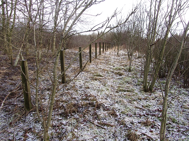
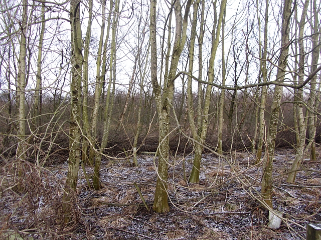
Black Hill is a popular destination for outdoor enthusiasts, offering various trails and paths to explore its rugged terrain. Hikers and walkers can enjoy the challenging ascent to the summit, rewarded by stunning vistas and the opportunity to spot local wildlife, such as red deer and birds of prey.

Additionally, Black Hill has historical significance, with remnants of Iron Age settlements and ancient burial sites scattered throughout its slopes. Archaeological excavations have revealed evidence of human activity dating back thousands of years, adding to the hill's cultural importance.

Access to Black Hill is provided by nearby parking areas, and a network of well-maintained paths ensures visitors can navigate the terrain safely. The hill's natural beauty, combined with its historical heritage, makes it a popular destination for both locals and tourists alike, attracting nature lovers, history enthusiasts, and those seeking an escape into the tranquility of the Scottish countryside.

If you have any feedback on the listing, please let us know in the comments section below.

Black Hill Images

Images are sourced within 2km of 56.083594/-3.3565923 or Grid Reference NT1588. Thanks to Geograph Open Source API. All images are credited.

Farm track, Hill of Beath A dark wet day during a gale.
Farm track, Hill of Beath
A dark wet day during a gale.
Torbeath Gardens, Hill of Beath Striking roofs on the houses here.
Torbeath Gardens, Hill of Beath
Striking roofs on the houses here.
Roadside woodland It is usually not a good idea to head off piste from a road layby. Today though I got away with it, nothing unpleasant was encountered.  The layby has good defences of thorns but there was a way through to the old boundary fence and a woodland which goes back to the building of the A92.
Roadside woodland
It is usually not a good idea to head off piste from a road layby. Today though I got away with it, nothing unpleasant was encountered. The layby has good defences of thorns but there was a way through to the old boundary fence and a woodland which goes back to the building of the A92.
Roadside woodland Watching carefully where I put my feet, I ventured at right angles to the dual carriageway from a layby. The woodland is probably the same age as the road, c.1990.
Roadside woodland
Watching carefully where I put my feet, I ventured at right angles to the dual carriageway from a layby. The woodland is probably the same age as the road, c.1990.
A92 View from a layby near Lochgelly. The dual carriageway was opened in the early 1990s. 
The road is usually populated with police speed camera vans. Sadly these do not detect photographers who should be concentrating on their driving not their points score.
A92
View from a layby near Lochgelly. The dual carriageway was opened in the early 1990s. The road is usually populated with police speed camera vans. Sadly these do not detect photographers who should be concentrating on their driving not their points score.
Looking up the Main Street in Hill of Beath in Fife Though a village in its own right, it is now very much a part of Cowdenbeath.
Looking up the Main Street in Hill of Beath in Fife
Though a village in its own right, it is now very much a part of Cowdenbeath.
Statue of Jim Baxter, Hill of Beath This statue was erected in 2003 in memory of the footballer, Jim Baxter, who was born in this former mining village.
Statue of Jim Baxter, Hill of Beath
This statue was erected in 2003 in memory of the footballer, Jim Baxter, who was born in this former mining village.
A92 south of Cowdenbeath
Bridge over A92 at Crossgates
Hawthorn Crescent Hawthorn Crescent, Hill of Beath. The 'Hill' of Beath in the background.
Hawthorn Crescent
Hawthorn Crescent, Hill of Beath. The 'Hill' of Beath in the background.
Keirs Park, Hill of Beath Keirs Park, home of Hill of Beath Hawthorn (Hawes) and HOB Swifts. Crossgates half mile away.
Keirs Park, Hill of Beath
Keirs Park, home of Hill of Beath Hawthorn (Hawes) and HOB Swifts. Crossgates half mile away.
Converted Church Situated in Hill O' Beath this church has been converted to a dwelling.
Converted Church
Situated in Hill O' Beath this church has been converted to a dwelling.
Housing. Looking eastwards across the roofs of a Cowdenbeath housing estate to Moss Morran Chemical Works.
Housing.
Looking eastwards across the roofs of a Cowdenbeath housing estate to Moss Morran Chemical Works.
Dilapidated building Building undergoing repairs in Hill of Beath a former mining village near Cowdenbeath
Dilapidated building
Building undergoing repairs in Hill of Beath a former mining village near Cowdenbeath
Cowdenbeath Woodend Community woodland to the south of Cowdenbeath.
Cowdenbeath Woodend
Community woodland to the south of Cowdenbeath.
B981 Approaching Cowdenbeath.
B981
Approaching Cowdenbeath.
In the thick of it Thick woodland near Cowdenbeath. Many trees have been cut down in the woods.
In the thick of it
Thick woodland near Cowdenbeath. Many trees have been cut down in the woods.
A92 passing under the Cowdenbeath - Crossgates road
Show me another place!

Black Hill is located at Grid Ref: NT1588 (Lat: 56.083594, Lng: -3.3565923)

Unitary Authority: Fife

Police Authority: Fife

What 3 Words

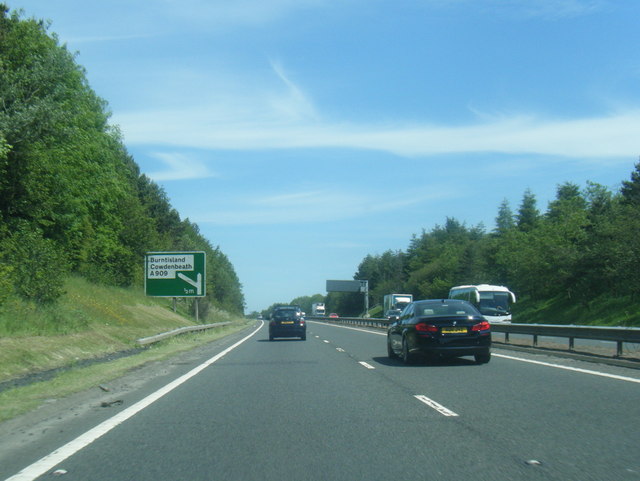
///arena.organ.pursue. Near Crossgates, Fife

Related Wikis

Crossgates, Fife

Crossgates is a village in Fife, Scotland. It is located close to the junction of the M90 and A92, about two miles east of Dunfermline and a similar distance...

Crossgates railway station (Fife)

Crossgates Fife railway station co-served the village of Crossgates, Fife, Scotland, from 1848 to 1949 on the Edinburgh and Northern Railway. == History... ==
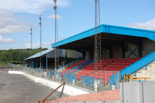
Humbug Park

Humbug Park also previously known as Crossgates Greyhound Stadium is a football ground and former greyhound racing track on Inverkeithing Road in Crossgates...

Hill of Beath

Hill of Beath (( ; Scots: Hill o Beath) is a hill and a village in Fife, Scotland, just outside Dunfermline and joined to Cowdenbeath. On 16 June 1670...

Hill of Beath Hawthorn F.C.

Hill of Beath Hawthorn Football Club are a Scottish football club from Hill of Beath, near Cowdenbeath, Fife. Formed in 1975, they play their home games...

Cowdenbeath Old railway station

Cowdenbeath railway station served the town of Cowdenbeath, Fife, Scotland, from 1848 to 1919 on the Edinburgh and Northern Railway. == History == The...

Central Park, Cowdenbeath

Central Park is a multi-use stadium in Cowdenbeath, Fife, Scotland, used for football and stock car racing. It is situated in the centre of the town, just...
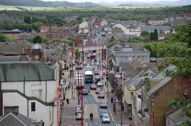
Cowdenbeath

Cowdenbeath ( ; Scots: Coudenbeith) is a town and burgh in west Fife, Scotland. It is 5 miles (8 km) north-east of Dunfermline and 18 miles (29 km) north...

Nearby Amenities

Located within 500m of 56.083594,-3.3565923
Fordell
Place: hamlet
Source: npe
Lat/Long: 56.0819255/-3.3590579
Coaledge
Place: hamlet
Source: npe
Lat/Long: 56.0836077/-3.3597794
Addr Postcode: KY4 8HB
Disused Amenity: pub
Old Name: Coaledge Tavern
Source Addr: FHRS Open Data
Lat/Long: 56.0836526/-3.3604043
Direction: both
Surface: paving_stones
Traffic Calming: table
Lat/Long: 56.085393/-3.362865
Direction: both
Surface: paving_stones
Traffic Calming: table
Lat/Long: 56.0854733/-3.3611387
Direction: both
Surface: paving_stones
Traffic Calming: table
Lat/Long: 56.0860384/-3.3632979
Bus Stop
Mossgreen Cemetery
Bus: yes
Public Transport: platform
Lat/Long: 56.0845787/-3.3640344
Bus Stop
Mossgreen Cemetery
Bus: yes
Departures Board: timetable
Naptan AtcoCode: 6500D1138
Naptan NaptanCode: 34345726
Public Transport: platform
Shelter: yes
Lat/Long: 56.0845063/-3.3643836
Waste Basket
Lat/Long: 56.0846124/-3.3640278
Grit Bin
Lat/Long: 56.0848592/-3.3617817
Access: yes
Barrier: kissing_gate
Bicycle: no
Foot: yes
Horse: no
Material: metal
Wheelchair: no
Lat/Long: 56.0799617/-3.3612592
The data included in this document is from www.openstreetmap.org. The data is made available under ODbL.

Have you been to Black Hill?

Leave your review of Black Hill below (or comments, questions and feedback).