Mynydd Dimlaith
Hill, Mountain in Monmouthshire
Wales
Mynydd Dimlaith

Mynydd Dimlaith is a prominent hill located in Monmouthshire, Wales. Situated within the Brecon Beacons National Park, it forms part of the Black Mountains range. With an elevation of approximately 613 meters (2,011 feet), it offers breathtaking panoramic views of the surrounding countryside.
The hill is characterized by its diverse terrain, featuring gentle slopes, rocky outcrops, and heather-covered moorland. Its distinctive shape and prominent position make it a popular destination for hikers, nature enthusiasts, and photographers. The summit provides a vantage point from which visitors can observe the stunning landscapes of Monmouthshire, Powys, and Herefordshire.
Mynydd Dimlaith is known for its rich biodiversity, supporting a variety of plant and animal species. The heather moorland is home to numerous bird species, including red grouse, skylarks, and buzzards. Rare plants such as the whorled caraway and purple saxifrage can also be found on the hill.
The area surrounding Mynydd Dimlaith offers a range of recreational activities. Hiking and walking trails cater to different skill levels, providing opportunities for both leisurely strolls and challenging treks. The hill is also a popular spot for paragliding and hang gliding, attracting adventure-seekers from all over.
Mynydd Dimlaith is easily accessible, with various access points and parking facilities available nearby. It is a cherished natural landmark in Monmouthshire, offering visitors a chance to immerse themselves in the beauty of the Welsh countryside and experience the tranquility of the Black Mountains.
If you have any feedback on the listing, please let us know in the comments section below.
Mynydd Dimlaith Images
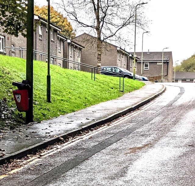
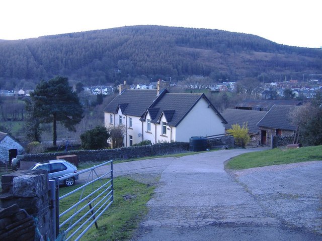
Images are sourced within 2km of 51.60358/-3.2191221 or Grid Reference ST1590. Thanks to Geograph Open Source API. All images are credited.


Mynydd Dimlaith is located at Grid Ref: ST1590 (Lat: 51.60358, Lng: -3.2191221)
Unitary Authority: Caerphilly
Police Authority: Gwent
What 3 Words
///outbursts.shuttered.often. Near Llanbradach, Caerphilly
Nearby Locations
Related Wikis
Llanbradach
Llanbradach is a village within the historic boundaries of Glamorgan, South Wales less than three miles (five kilometres) north of the town of Caerphilly...
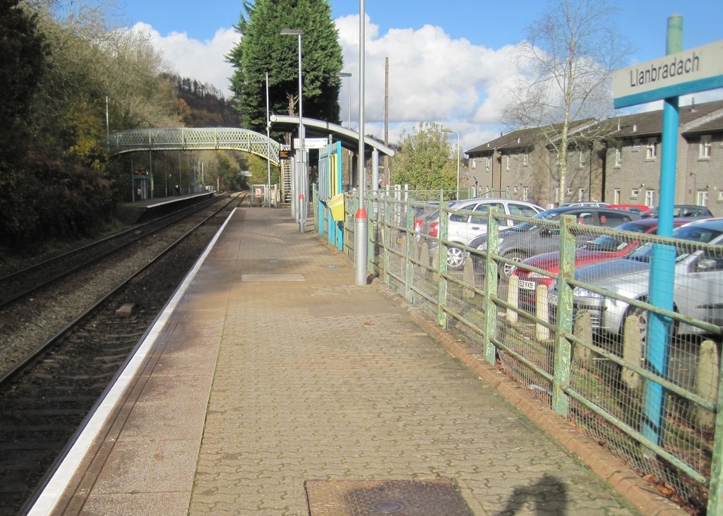
Llanbradach railway station
Llanbradach railway station is a railway station serving the village of Llanbradach, south Wales. It is a stop on the Rhymney Line of the Valley Lines...

Llanbradach and Pwllypant
Llanbradach and Pwllypant is a community in the county of Caerphilly, South Wales. It includes the large village of Llanbradach and Pwll-y-Pant. It has...

District of Rhymney Valley
Rhymney Valley (Welsh: Cwm Rhymni) was one of six local government districts in Mid Glamorgan from 1974 to 1996. == History == The district was formed...
Nearby Amenities
Located within 500m of 51.60358,-3.2191221Have you been to Mynydd Dimlaith?
Leave your review of Mynydd Dimlaith below (or comments, questions and feedback).