Clews Hill
Hill, Mountain in Peeblesshire
Scotland
Clews Hill

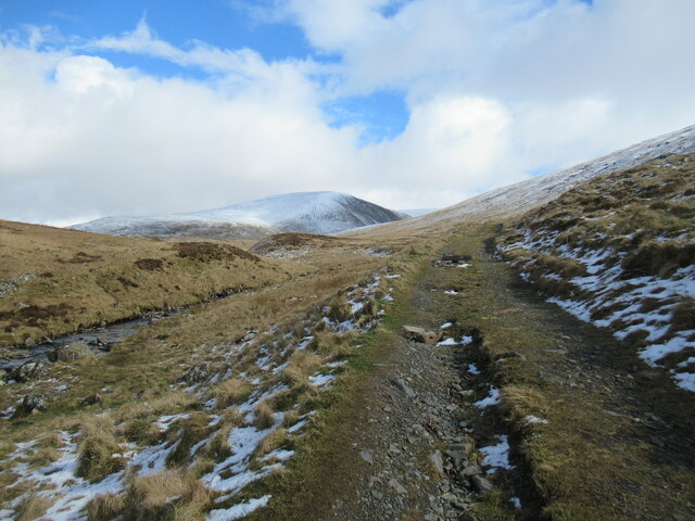
Clews Hill is a prominent hill located in Peeblesshire, Scotland. Situated near the small town of Peebles, it is a well-known landmark in the area. The hill forms part of the stunning Scottish Borders landscape, offering breathtaking views of the surrounding countryside.
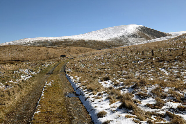
Rising to an elevation of approximately 400 meters (1312 feet), Clews Hill is not classified as a mountain but rather a hill. Despite this, it still boasts an impressive presence due to its distinct shape and prominent position in the region. Its slopes are covered with a variety of vegetation, including heather, grasses, and scattered trees, adding to its natural beauty.
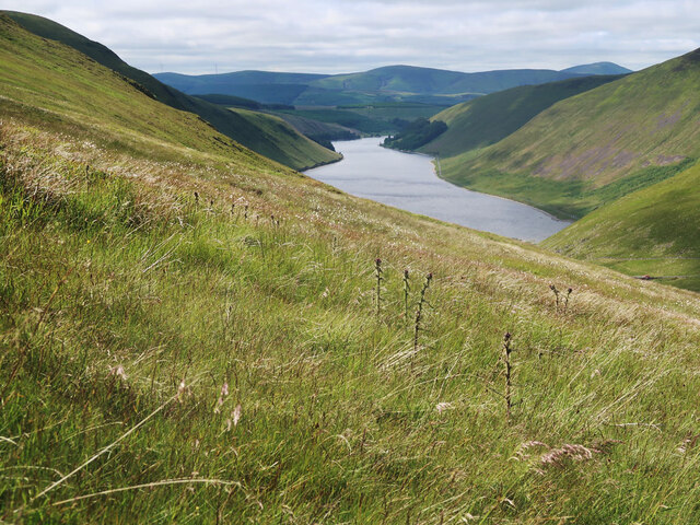
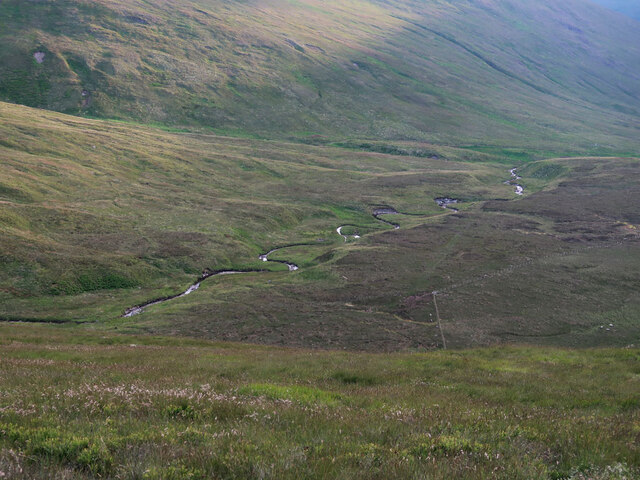
The hill is a popular destination for outdoor enthusiasts and nature lovers who appreciate its scenic trails and abundance of wildlife. Hiking and walking routes traverse the hill, providing visitors with opportunities to explore its diverse terrain. The panoramic vistas from the summit are particularly breathtaking, offering sweeping views of the surrounding hills, valleys, and the meandering River Tweed.
Clews Hill also holds historical significance, as it is believed to have been a site of Iron Age settlements. Archaeological remains, including ancient fortifications and burial sites, have been discovered in the vicinity. These findings provide valuable insights into the early human habitation of the area.
Overall, Clews Hill is a picturesque and historically significant landmark in Peeblesshire. Its natural beauty, coupled with its accessibility and recreational opportunities, make it a cherished destination for both locals and visitors alike.
If you have any feedback on the listing, please let us know in the comments section below.
Clews Hill Images
Images are sourced within 2km of 55.479161/-3.3423291 or Grid Reference NT1521. Thanks to Geograph Open Source API. All images are credited.


Clews Hill is located at Grid Ref: NT1521 (Lat: 55.479161, Lng: -3.3423291)
Unitary Authority: The Scottish Borders
Police Authority: The Lothians and Scottish Borders
What 3 Words
///conquests.shiver.ranking. Near Ettrick, Scottish Borders
Nearby Locations
Related Wikis

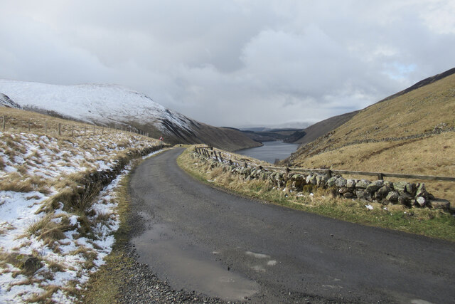
Talla Water
Talla Water is a river in the Scottish Borders area of Scotland, near Tweedsmuir. It feeds the Talla Reservoir, and is a tributary of the River Tweed....

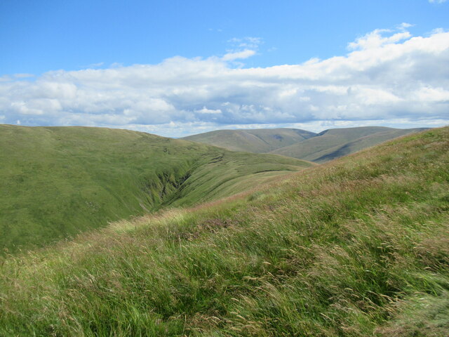
Broad Law
Broad Law is a hill in the Manor Hills range, part of the Southern Uplands of Scotland. The second-highest point in the Southern Uplands and the highest...

Talla Reservoir
Talla Reservoir, located a mile from Tweedsmuir, Scottish Borders, Scotland, is an earth-work dam fed by Talla Water. The reservoir is supplemented by...

Megget Reservoir
Megget Reservoir is an impounding reservoir in the Megget valley in Ettrick Forest, in the Scottish Borders. The 259 hectares (640 acres) reservoir is...
Have you been to Clews Hill?
Leave your review of Clews Hill below (or comments, questions and feedback).