Cock Rig

Hill, Mountain in Midlothian

Scotland

Cock Rig

Road to North Esk Reservoir
Road to North Esk Reservoir Credit: Richard Webb

The requested URL returned error: 429 Too Many Requests

If you have any feedback on the listing, please let us know in the comments section below.
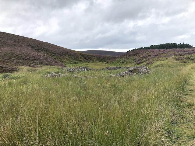
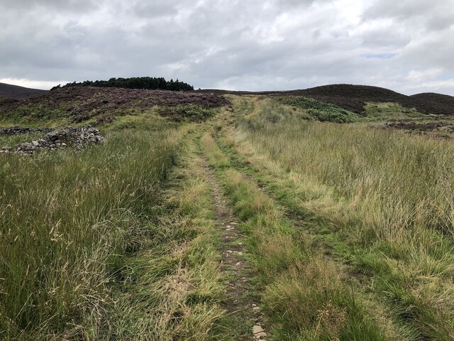
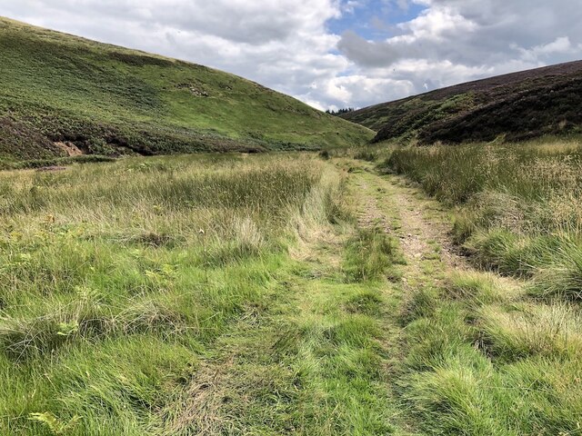
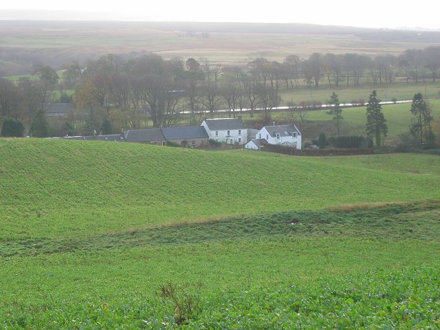
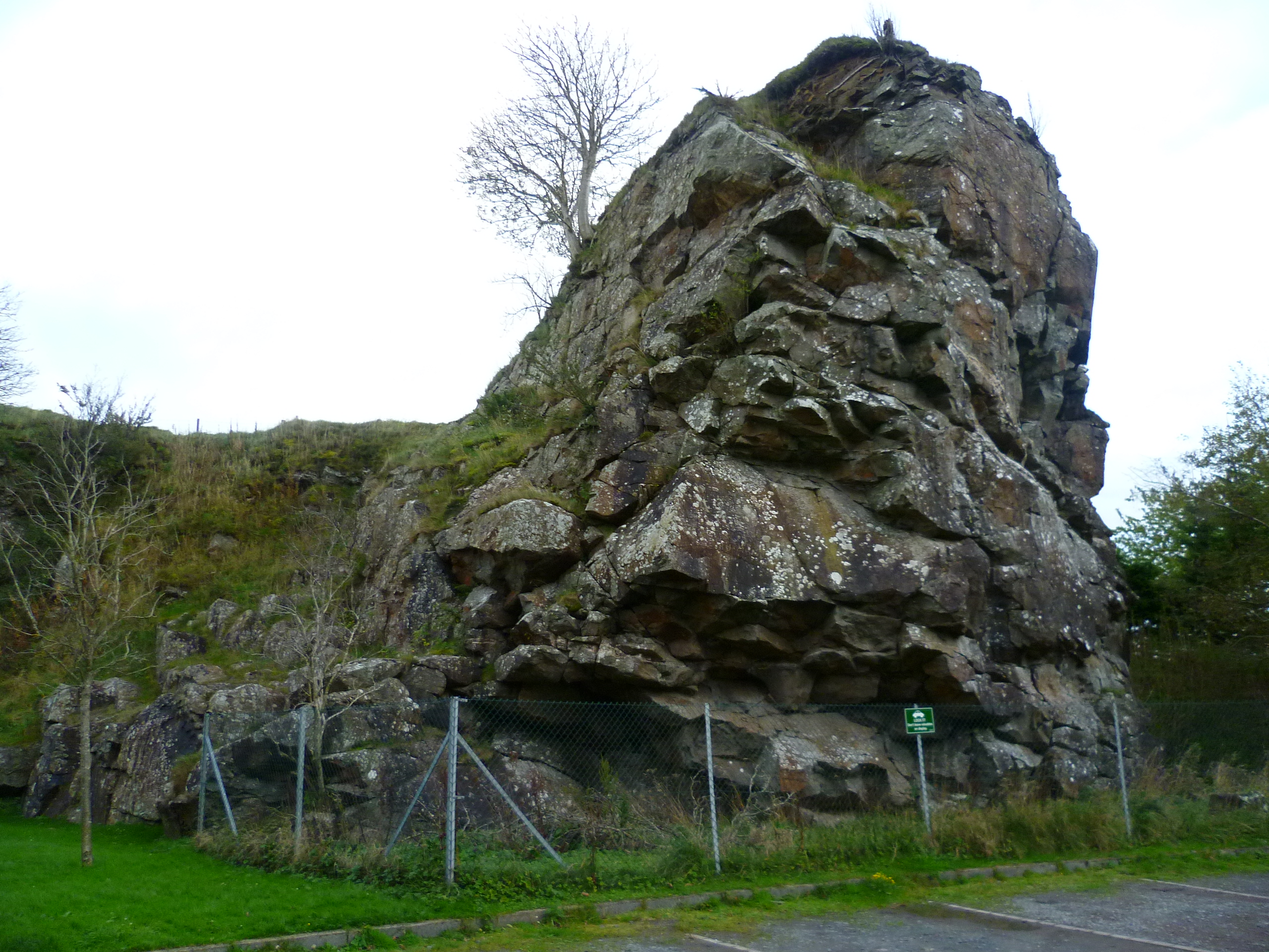
Cock Rig Images

Images are sourced within 2km of 55.819979/-3.3543138 or Grid Reference NT1559. Thanks to Geograph Open Source API. All images are credited.

Road to North Esk Reservoir
Gate, North Esk Cottage Track to the dam.  Note that someone has kindly locked the side gate as well.
Gate, North Esk Cottage
Track to the dam. Note that someone has kindly locked the side gate as well.
North Esk Reservoir Built to ensure a water flow in the North Esk to power the paper mills.  Now the mills have gone, the water has been drawn down to a level needing less dam maintenance and the loch is managed as a nature reserve.
North Esk Reservoir
Built to ensure a water flow in the North Esk to power the paper mills. Now the mills have gone, the water has been drawn down to a level needing less dam maintenance and the loch is managed as a nature reserve.
North Esk Reservoir Track to the dam and a road on the other side which had appeared in the 14 years since my last visit. The dam was built to ensure a water flow in the North Esk to power the paper mills.  Now the mills have gone, the water has been drawn down to a level needing less dam maintenance and the loch is managed as a nature reserve.
North Esk Reservoir
Track to the dam and a road on the other side which had appeared in the 14 years since my last visit. The dam was built to ensure a water flow in the North Esk to power the paper mills. Now the mills have gone, the water has been drawn down to a level needing less dam maintenance and the loch is managed as a nature reserve.
North Esk Reservoir Built to ensure a water flow in the North Esk to power the paper mills.  Now the mills have gone, the water has been drawn down to a level needing less dam maintenance and the loch is managed as a nature reserve.
North Esk Reservoir
Built to ensure a water flow in the North Esk to power the paper mills. Now the mills have gone, the water has been drawn down to a level needing less dam maintenance and the loch is managed as a nature reserve.
Path beside North Esk Reservoir
North Esk Reservoir Built to ensure a water flow in the North Esk to power the paper mills.  Now the mills have gone, the water has been drawn down to a level needing less dam maintenance and the loch is managed as a nature reserve.
North Esk Reservoir
Built to ensure a water flow in the North Esk to power the paper mills. Now the mills have gone, the water has been drawn down to a level needing less dam maintenance and the loch is managed as a nature reserve.
Spittal Hill View from the North Esk Reservoir.
Spittal Hill
View from the North Esk Reservoir.
Path beside North Esk Reservoir Heading for the Boar Stane.
Path beside North Esk Reservoir
Heading for the Boar Stane.
North Esk Reservoir The surrounding hillsides have been partly covered in new plantations and there are some game crops. The reservoir ensured a water flow in the North Esk to power the paper mills.  Now the mills have gone, the water has been drawn down to a level needing less dam maintenance and the loch is managed as a nature reserve.
North Esk Reservoir
The surrounding hillsides have been partly covered in new plantations and there are some game crops. The reservoir ensured a water flow in the North Esk to power the paper mills. Now the mills have gone, the water has been drawn down to a level needing less dam maintenance and the loch is managed as a nature reserve.
Path to the Boar Stane A route over the Pentland Hills between Carlops and Buteland.
Path to the Boar Stane
A route over the Pentland Hills between Carlops and Buteland.
Wether Law Moorland hill above the headwaters of the North Esk
Wether Law
Moorland hill above the headwaters of the North Esk
Stell by the Henslaw Burn Ruined sheepfold.
Stell by the Henslaw Burn
Ruined sheepfold.
Track to the Boar Stane Not the traditional route which is on the other side of the burn that becomes the North Esk, but a wider route that meets up with the right of way on the ridge.
Track to the Boar Stane
Not the traditional route which is on the other side of the burn that becomes the North Esk, but a wider route that meets up with the right of way on the ridge.
Bore Stane path Singletrack on the North Esk Reservoir side of the pass. There is a wider quadbike track by the burn which goes over the pass with slightly more climb.
Bore Stane path
Singletrack on the North Esk Reservoir side of the pass. There is a wider quadbike track by the burn which goes over the pass with slightly more climb.
Boar Stane pass A quadbike track beside the North Esk and Henshaw Burn.  This rejoins the traditional route at the pass.
Boar Stane pass
A quadbike track beside the North Esk and Henshaw Burn. This rejoins the traditional route at the pass.
The eastern slopes of Wether Law As Pentland hills go, Wether Hill (foreground) is not among the most interesting. But it does provide a good viewpoint for the main part of the Pentland ridge to the north-east.
The eastern slopes of Wether Law
As Pentland hills go, Wether Hill (foreground) is not among the most interesting. But it does provide a good viewpoint for the main part of the Pentland ridge to the north-east.
Pentland peaks from Green Law summit From L to R: West Kip, East Kip, Scald Law and South Black Hill showing up well on a clear January day.
Pentland peaks from Green Law summit
From L to R: West Kip, East Kip, Scald Law and South Black Hill showing up well on a clear January day.
Show me another place!

Cock Rig is located at Grid Ref: NT1559 (Lat: 55.819979, Lng: -3.3543138)

Unitary Authority: Midlothian

Police Authority: The Lothians and Scottish Borders

What 3 Words

///warms.warm.munch. Near Balerno, Edinburgh

Nearby Locations

Cock Rig

Related Wikis

Pentland Hills

The Pentland Hills are a range of hills southwest of Edinburgh, Scotland. The range is around twenty miles (thirty kilometres) in length, and runs southwest...

East Cairn Hill

East Cairn Hill is a hill in the Pentland Hills range of Scotland. With a height of 567 m (1,860 ft), it is the highest hill in Edinburgh and is located...

Nine Mile Burn

Nine Mile Burn is a hamlet in Midlothian, Scotland, the last in Midlothian when heading south on the A702 road. It is located at the foot of the Pentland...

Carlops

Carlops (Scottish Gaelic: Leum na Caillich) is a small village in the Pentland Hills, within the Scottish Borders area of Scotland, close to the boundary...

Nearby Amenities

Located within 500m of 55.819979,-3.3543138
Cock Rig
Ele: 478
Natural: peak
Wikidata: Q18923098
Lat/Long: 55.8199668/-3.3537001
The data included in this document is from www.openstreetmap.org. The data is made available under ODbL.

Have you been to Cock Rig?

Leave your review of Cock Rig below (or comments, questions and feedback).