Cairn Ballantruan

Hill, Mountain in Banffshire

Scotland

Cairn Ballantruan

Dalvrecht Cottage, Strath Avon
Dalvrecht Cottage, Strath Avon Credit: Alan Reid

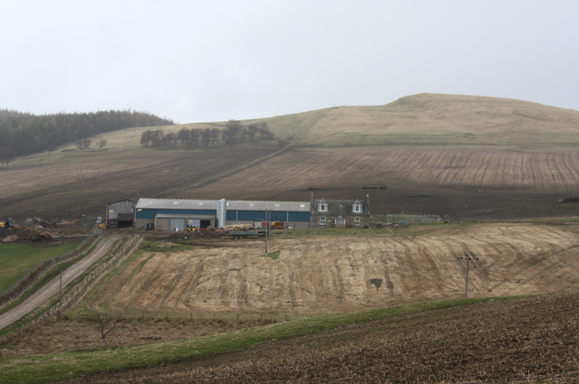
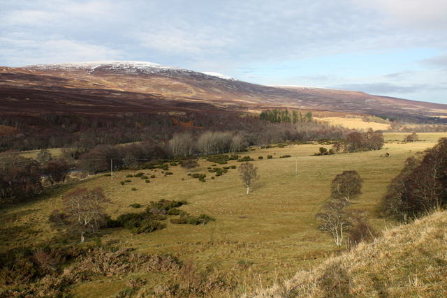
Cairn Ballantruan is a prominent hill located in Banffshire, Scotland. Situated approximately 5 miles southeast of Tomintoul, it forms part of the vast Cairngorms National Park. Standing at a height of around 1,680 feet, Cairn Ballantruan offers stunning panoramic views of the surrounding landscapes and is a popular destination for hikers and nature enthusiasts.

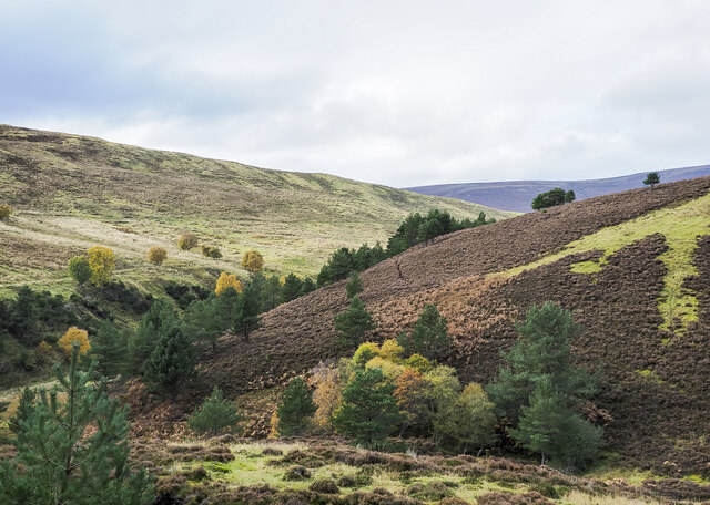
The hill is characterized by its rugged terrain, featuring a mixture of heather-covered moorland, rocky outcrops, and scattered patches of woodland. Its summit is marked by a large cairn, which has been constructed over the years by visitors to the area. This cairn not only acts as a navigational aid but also adds a touch of historical significance to the hill.

Cairn Ballantruan is home to a rich variety of flora and fauna, with its diverse habitats supporting a range of species. Birdwatchers may spot golden eagles, peregrine falcons, and various other raptors soaring above, while red deer and mountain hares can often be seen foraging on the slopes.

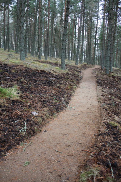
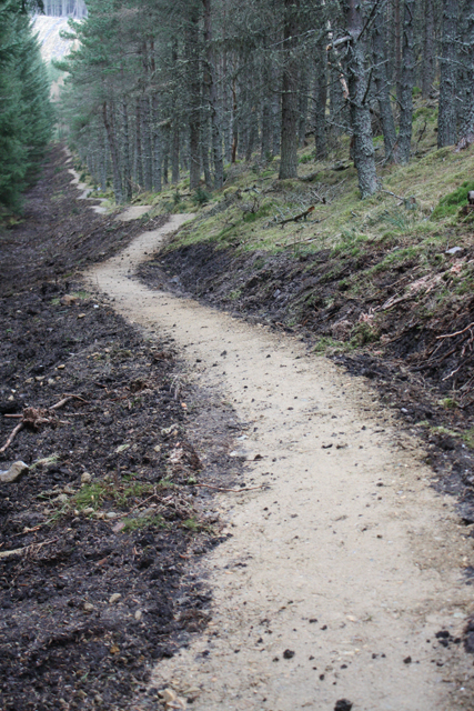
The hill is easily accessible, with several well-marked trails leading to its summit. These routes vary in difficulty, catering to both experienced hikers and beginners. Along the way, visitors can enjoy the tranquility of the surrounding countryside and may even come across remnants of ancient settlements, such as stone circles and burial cairns.

Overall, Cairn Ballantruan is a picturesque and captivating hill that offers a memorable experience for those seeking outdoor adventure and breathtaking natural beauty in the heart of Banffshire.

If you have any feedback on the listing, please let us know in the comments section below.

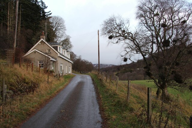
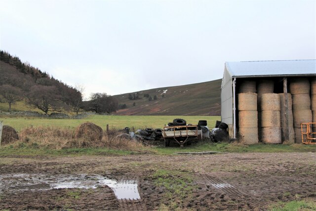
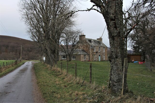
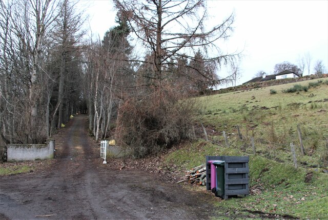
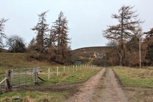
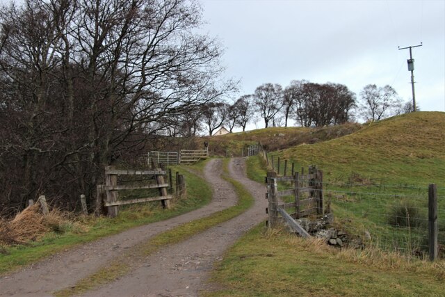
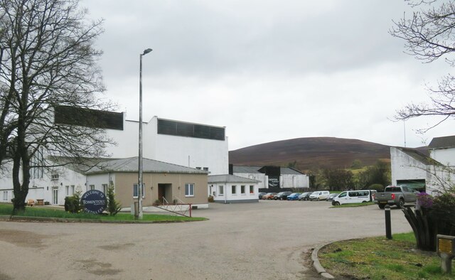
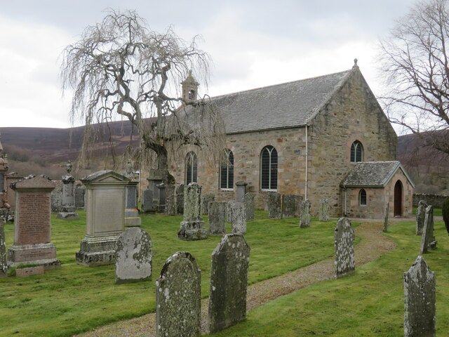
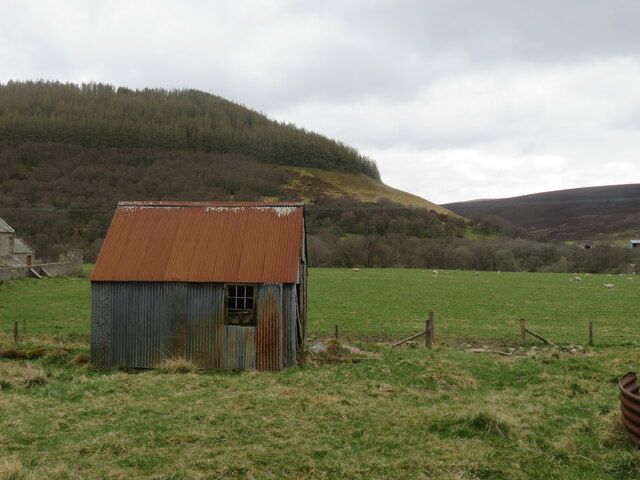
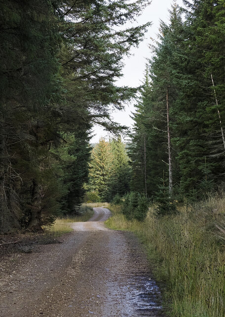
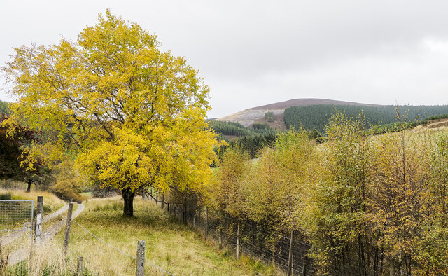
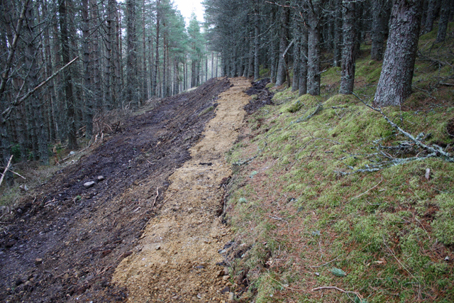
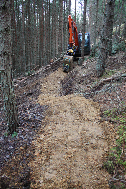
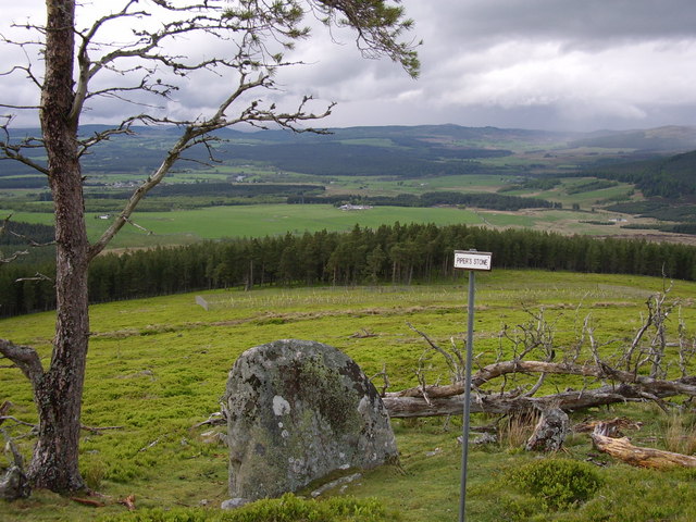
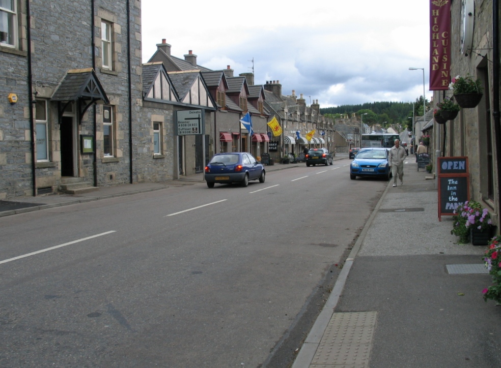
Cairn Ballantruan Images

Images are sourced within 2km of 57.303023/-3.4094514 or Grid Reference NJ1524. Thanks to Geograph Open Source API. All images are credited.

Dalvrecht Cottage, Strath Avon
Barn at Inverlochy
Barn at Inverlochy
Inverlochy, a large house
Balranaich, a steep approach
The climb to Kinardochy
Access to houses at Kinardochy
Tomintoul distillery Located in the Avon valley a few miles north of the village of Tomintoul. I note that a 30 year old single malt is advertised for a smidgen under £520. maybe I'll put it on my Christmas wish list.
Tomintoul distillery
Located in the Avon valley a few miles north of the village of Tomintoul. I note that a 30 year old single malt is advertised for a smidgen under £520. maybe I'll put it on my Christmas wish list.
St Michaels, Strath Avon A 19th century rebuild of an earlier church serving the scattered community along this valley.
St Michaels, Strath Avon
A 19th century rebuild of an earlier church serving the scattered community along this valley.
Tin shack, Kirkton Corrugated iron structure close by the River Avon.
Tin shack, Kirkton
Corrugated iron structure close by the River Avon.
Forest road climbing towards Coire na Fuaraig The road is on the north side of a minor hill, Tom a' Chor and is climbing to the east. It's clearly a forestry road and will probably have served as access for a gravel pit but its current major use must be by mountain bikers.
Forest road climbing towards Coire na Fuaraig
The road is on the north side of a minor hill, Tom a' Chor and is climbing to the east. It's clearly a forestry road and will probably have served as access for a gravel pit but its current major use must be by mountain bikers.
Valleys  merging north-west of Tom a' Chor The stream in the nearer valley originates in Coire na Fuaraig but is unnamed on OS maps, it joins the other valley where the drainage is by the Chabet Water.
Valleys merging north-west of Tom a' Chor
The stream in the nearer valley originates in Coire na Fuaraig but is unnamed on OS maps, it joins the other valley where the drainage is by the Chabet Water.
Prominent tree beside access road for Inverchor Inverchor is a remote house on the east side of the valley of the Chabet Water; in the image it's hidden by the lower trees.
The distant hill is Carn Diamh.
Prominent tree beside access road for Inverchor
Inverchor is a remote house on the east side of the valley of the Chabet Water; in the image it's hidden by the lower trees. The distant hill is Carn Diamh.
Achlichnie farm Below Fireach Beag.
Achlichnie farm
Below Fireach Beag.
Strath Avon Rough grazing beside the River Avon.  Looking towards Carn Eachie and Carn a Ghillie Chearr in the Cromdale Hills.
Strath Avon
Rough grazing beside the River Avon. Looking towards Carn Eachie and Carn a Ghillie Chearr in the Cromdale Hills.
New mountain bike trail, Glenlivet Estate The estate are building trails around Carn Meilich, Tom a' Chor and Carn Daimh.  Due to open August 2013, this is part of the blue (easy) route.
New mountain bike trail, Glenlivet Estate
The estate are building trails around Carn Meilich, Tom a' Chor and Carn Daimh. Due to open August 2013, this is part of the blue (easy) route.
Mountain bike trail, Tom a' Chor Glenlivet Estate are building new mountain bike trails, due to open August 2013.  This is part of the red route.
Mountain bike trail, Tom a' Chor
Glenlivet Estate are building new mountain bike trails, due to open August 2013. This is part of the red route.
Mountain bike trail under construction New trails on Glenlivet Estate, due to open August 2013. This is part of the red route.
Mountain bike trail under construction
New trails on Glenlivet Estate, due to open August 2013. This is part of the red route.
Mountain bike trail construction A new trail centre being built on Glenlivet Estate.  Due to open August 2013, this is part of the red route.
Mountain bike trail construction
A new trail centre being built on Glenlivet Estate. Due to open August 2013, this is part of the red route.
Show me another place!

Cairn Ballantruan is located at Grid Ref: NJ1524 (Lat: 57.303023, Lng: -3.4094514)

Unitary Authority: Moray

Police Authority: North East

What 3 Words

///frog.spearhead.inches. Near Grantown-on-Spey, Highland

Nearby Locations

Cairn Ballantruan

Related Wikis

Kirkmichael, Moray

Kirkmichael is a parish and hamlet in Moray, Scotland. Kirkmichael was historically part of Banffshire.The hamlet lies approximately 8 miles south of Ballindalloch...

Tomintoul distillery

Tomintoul distillery is a distillery in Kirkmichael, between Ballindalloch and Tomintoul in the Speyside region of Scotland, producing malt whisky for...

Glenlivet Estate

The Glenlivet Estate is located in Glenlivet, Scotland in the Cairngorms National Park. It measures 58,000 acres (230 km2) and is part of The Crown Estate...

Battle of Cromdale

The Battle of Cromdale took place at the Haughs of Cromdale on 30 April and 1 May 1690. The site is on a hillside near the village of Cromdale, then in...

Tomintoul

Tomintoul ( ; from Scottish Gaelic: Tom an t-Sabhail, meaning "Hillock of the Barn") is a village in the Moray council area of Scotland in the historic...

Auchnarrow

Auchnarrow (Scottish Gaelic: Achadh an Arbha) is a village in Moray, Scotland.

The Glenlivet distillery

The Glenlivet distillery is a distillery near Ballindalloch in Moray, Scotland that produces single malt Scotch whisky. It is the oldest legal distillery...

Blairfindy Castle

Blairfindy Castle is an L-plan tower house, dating from the 16th century, around 6.5 miles (10.5 km) north of Tomintoul, and west of the River Livet....

Nearby Amenities

Located within 500m of 57.303023,-3.4094514
Cairn Ballantruan
Ele: 455
Natural: peak
Lat/Long: 57.3030636/-3.4097026
Description: Building stone quarry with abandoned partly worked lintels
Historic: mine
Lat/Long: 57.3051865/-3.4071083
Man Made: cairn
Lat/Long: 57.3030574/-3.4095222
The data included in this document is from www.openstreetmap.org. The data is made available under ODbL.

Have you been to Cairn Ballantruan?

Leave your review of Cairn Ballantruan below (or comments, questions and feedback).