Cairn Law
Hill, Mountain in Peeblesshire
Scotland
Cairn Law
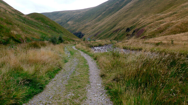
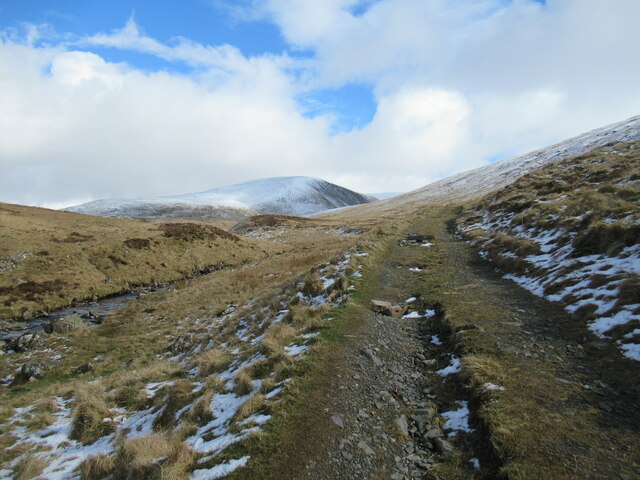
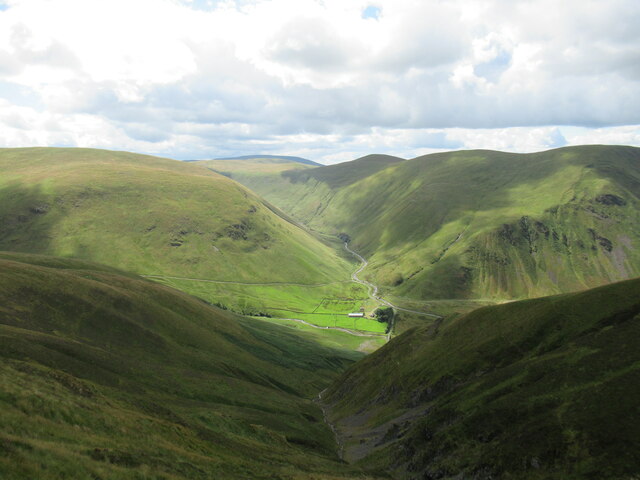
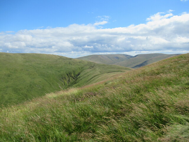
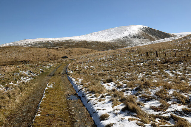
Cairn Law is a prominent hill located in Peeblesshire, Scotland. Standing at an elevation of approximately 488 meters (1,600 feet), it is considered a popular destination for hikers and outdoor enthusiasts. Situated in the picturesque Scottish Borders region, Cairn Law offers breathtaking panoramic views of the surrounding landscape.
The hill is characterized by its distinctive cairn, a man-made pile of stones, located at its summit. This cairn is believed to have historical significance, possibly serving as a burial marker or a boundary marker in ancient times. The cairn adds an element of intrigue and mystery to the hill, attracting visitors curious about its origins.
Cairn Law boasts a variety of vegetation, including heather, grasses, and scattered trees that provide a habitat for several species of birds and small mammals. The hill is also home to a diverse range of wildlife, such as red deer, foxes, and rabbits. Nature enthusiasts can enjoy observing and photographing these animals in their natural habitat.
Access to Cairn Law is relatively easy, with a well-defined path leading to the summit. The hill is a popular destination for both experienced hikers and beginners, offering a moderate level of difficulty. Its proximity to Peebles, a historic town known for its picturesque setting and vibrant community, makes Cairn Law a favored spot for locals and tourists alike.
Overall, Cairn Law in Peeblesshire is a captivating hill that combines natural beauty, historical intrigue, and recreational opportunities. Its stunning views, rich biodiversity, and accessible trails make it an ideal location for outdoor exploration and appreciation of the Scottish countryside.
If you have any feedback on the listing, please let us know in the comments section below.
Cairn Law Images
Images are sourced within 2km of 55.480773/-3.3550744 or Grid Reference NT1421. Thanks to Geograph Open Source API. All images are credited.


Cairn Law is located at Grid Ref: NT1421 (Lat: 55.480773, Lng: -3.3550744)
Unitary Authority: The Scottish Borders
Police Authority: The Lothians and Scottish Borders
What 3 Words
///tastier.plotting.feathers. Near Ettrick, Scottish Borders
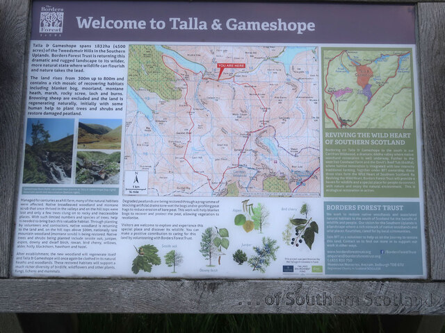
Nearby Locations
Related Wikis

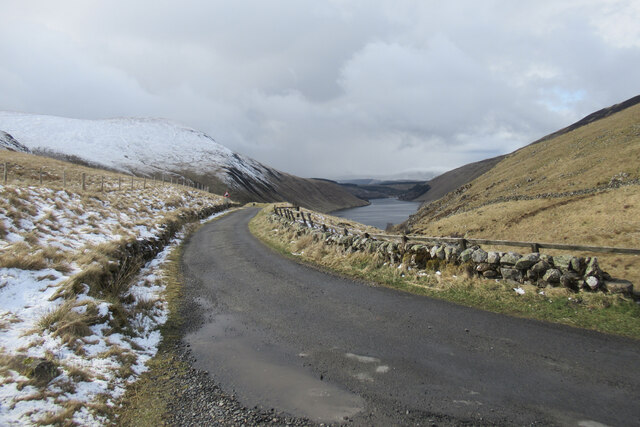
Talla Water
Talla Water is a river in the Scottish Borders area of Scotland, near Tweedsmuir. It feeds the Talla Reservoir, and is a tributary of the River Tweed....

Broad Law
Broad Law is a hill in the Manor Hills range, part of the Southern Uplands of Scotland. The second-highest point in the Southern Uplands and the highest...

Talla Reservoir
Talla Reservoir, located a mile from Tweedsmuir, Scottish Borders, Scotland, is an earth-work dam fed by Talla Water. The reservoir is supplemented by...

Victoria Lodge railway station
Victoria Lodge railway station served the village of Tweedsmuir, Scottish Borders, Scotland from 1897 to 1905 on the Symington, Biggar and Broughton Railway...
Have you been to Cairn Law?
Leave your review of Cairn Law below (or comments, questions and feedback).