Black Hillock

Hill, Mountain in Caithness

Scotland

Black Hillock

River Thurso A great salmon river, but no anglers today.
River Thurso Credit: John MacKenzie

Black Hillock is a prominent hill located in the county of Caithness, Scotland. Standing at an impressive height of 182 meters (597 feet), it is often referred to as a mountain due to its striking presence in the surrounding landscape. Situated in the northernmost part of the Scottish mainland, Black Hillock offers captivating panoramic views and is a popular destination for hiking enthusiasts and nature lovers alike.

The hill is characterized by its black rock formation, which gives it its name. Composed mainly of Torridonian sandstone, the distinctive dark coloration is a result of the presence of iron oxide minerals. This unique geological feature adds to the allure of Black Hillock and contributes to its visual appeal.

The ascent to the summit of Black Hillock is relatively moderate, making it accessible to people of varying fitness levels. Once at the top, visitors are rewarded with breathtaking vistas of the surrounding countryside, including sweeping views of the rugged coastline, nearby lochs, and the distant Orkney Islands on clear days.

Aside from its natural beauty, Black Hillock is also of historical significance. The hill is home to the remains of an Iron Age fort, providing a glimpse into the region's ancient past. These archaeological remains serve as a testament to the area's rich cultural heritage and attract history enthusiasts seeking to explore the site.

Overall, Black Hillock stands as an imposing feature in the Caithness landscape, offering a captivating blend of natural beauty, geological interest, and historical significance.

If you have any feedback on the listing, please let us know in the comments section below.

Black Hillock Images

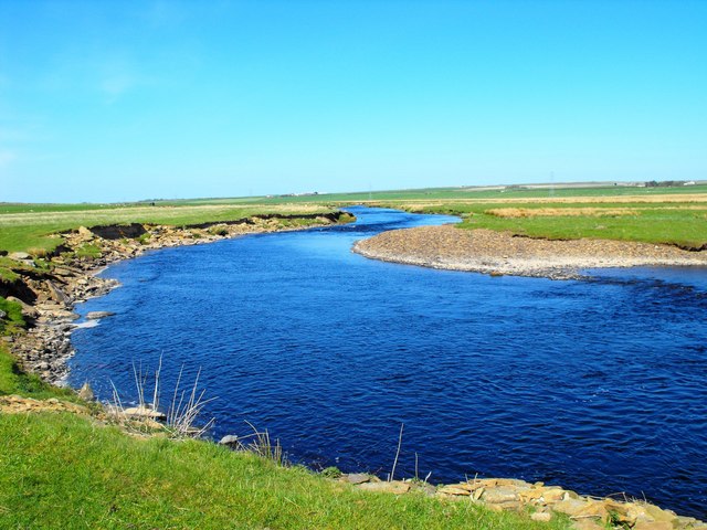
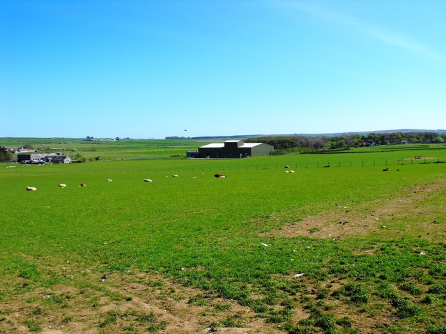
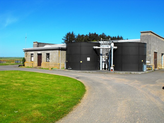
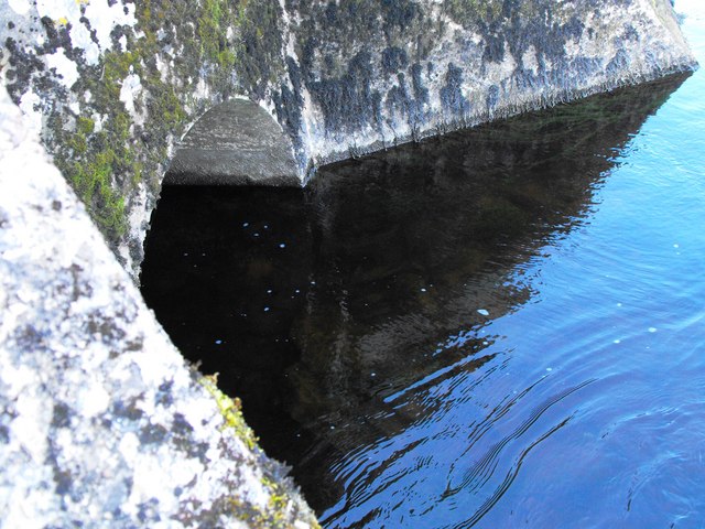
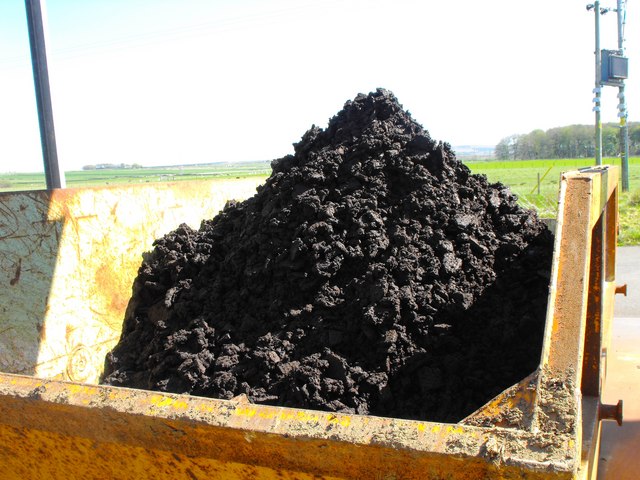
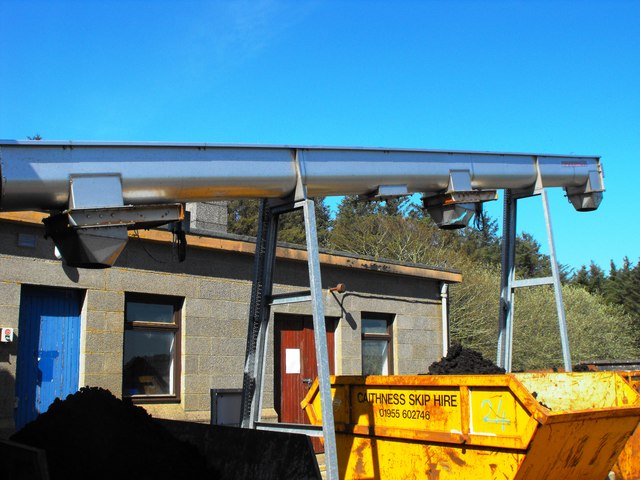
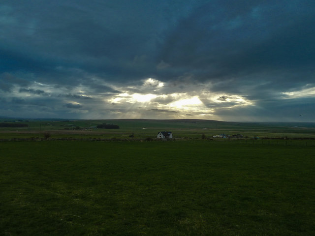
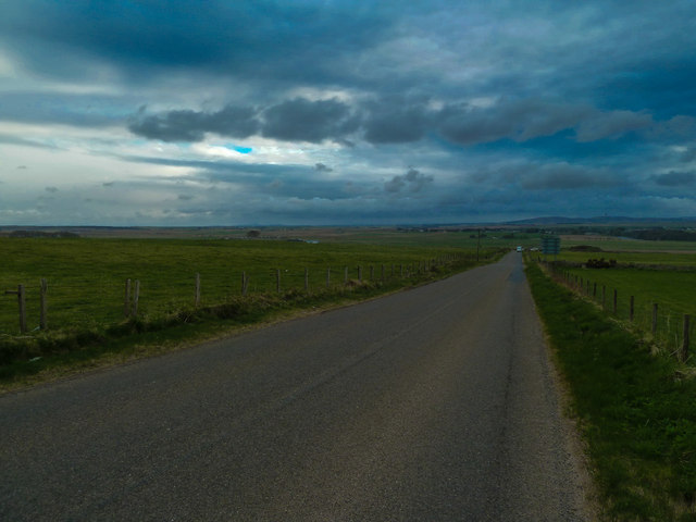
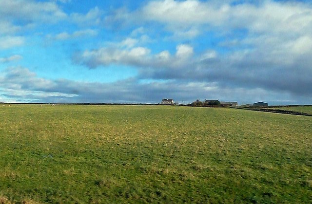
Images are sourced within 2km of 58.532154/-3.4709034 or Grid Reference ND1461. Thanks to Geograph Open Source API. All images are credited.

River Thurso A great salmon river, but no anglers today.
River Thurso
A great salmon river, but no anglers today.
Loch Calder Water Treatment Works A relatively new works which has replaced original installations.
Loch Calder Water Treatment Works
A relatively new works which has replaced original installations.
Hoy Pumping Station The original pumping station at Hoy, plus extra tanks. Opened circa 1952 by Her Majesty The Queen Mother. The letters H O Y above the door came from Hoy halt after it was closed by BR. This plant has been replaced by Loch Calder Works.
Hoy Pumping Station
The original pumping station at Hoy, plus extra tanks. Opened circa 1952 by Her Majesty The Queen Mother. The letters H O Y above the door came from Hoy halt after it was closed by BR. This plant has been replaced by Loch Calder Works.
Tailrace Outfall Turbine tailrace outfall on the River Thurso
Tailrace Outfall
Turbine tailrace outfall on the River Thurso
Flow Recorder Now redundant this instrument indicated and recorded (on a chart) the flow in the turbine tailrace. It used to record flows of up to six and a half million gallons of water per day. This was in the days before electronics took over the monitoring of water works activity.
Flow Recorder
Now redundant this instrument indicated and recorded (on a chart) the flow in the turbine tailrace. It used to record flows of up to six and a half million gallons of water per day. This was in the days before electronics took over the monitoring of water works activity.
Thurso Branch Train A train on the Thurso branch,farm machinery and sheep. The A9 road is between the hedgerows above the train.
Thurso Branch Train
A train on the Thurso branch,farm machinery and sheep. The A9 road is between the hedgerows above the train.
Abandoned Henhouse In the woods behind Hoy Pumping Station
Abandoned Henhouse
In the woods behind Hoy Pumping Station
Old Portable Pump Pump only fit for scrapping. Taken at Hoy pumping Station.
Old Portable Pump
Pump only fit for scrapping. Taken at Hoy pumping Station.
Water Main Pipe Old technology, concrete lined cast iron pipe.
Water Main Pipe
Old technology, concrete lined cast iron pipe.
Water Main Pipe New technology. Blue plastic pipe now widely used for water mains.
Water Main Pipe
New technology. Blue plastic pipe now widely used for water mains.
Cattle at Georgemas A bull,his Harem and their young.
Cattle at Georgemas
A bull,his Harem and their young.
Sediment from water supply Old technology at Hoy Pumping Station. Sediment removed from water, allowed to settle in tanks and dry before disposal.
Sediment from water supply
Old technology at Hoy Pumping Station. Sediment removed from water, allowed to settle in tanks and dry before disposal.
Sediment removed from water New technology. Sediment removed from  water at Loch Calder Treatment Works is now pressed dry and loaded into skips for disposal
Sediment removed from water
New technology. Sediment removed from water at Loch Calder Treatment Works is now pressed dry and loaded into skips for disposal
Sediment Removal The conveying apparatus for transporting sediment/sludge from the press to skips at Loch Calder Treatment Works.
Sediment Removal
The conveying apparatus for transporting sediment/sludge from the press to skips at Loch Calder Treatment Works.
Main Line South Looking along the Thurso branch towards Georgemas Junction, Britain's most northerly railway junction.
Main Line South
Looking along the Thurso branch towards Georgemas Junction, Britain's most northerly railway junction.
Roadside View over open grazing land to the north of Georgemas Junction Station.
Roadside
View over open grazing land to the north of Georgemas Junction Station.
B874 View south west towards Braal Castle.
B874
View south west towards Braal Castle.
Towards Carsgoe Carsgoe Farm, viewed from a train on the way to Wick on a bright late-October day.
Towards Carsgoe
Carsgoe Farm, viewed from a train on the way to Wick on a bright late-October day.
Show me another place!

Black Hillock is located at Grid Ref: ND1461 (Lat: 58.532154, Lng: -3.4709034)

Unitary Authority: Highland

Police Authority: Highlands and Islands

What 3 Words

///hotels.exotic.torches. Near Halkirk, Highland

Related Wikis

Sordale

Sordale is a small linear village, located 1.5 miles (2.4 km) northeast in Halkirk, in Caithness, Scottish Highlands and is in the Scottish council area...

Roadside, Caithness

Roadside is a small village, located at the junction of the A9 trunk road and the B874, 1 mile south of Sordale in Caithness, Scottish Highlands and is...

Hoy railway station

Hoy was a railway station located northeast of Halkirk, Highland. The station opened on 28 July 1874 and closed to regular passenger traffic on 29 November...

Braal Castle

Braal Castle is located by the River Thurso north of the village of Halkirk, in Caithness, northern Scotland. The ruined castle, which dates back to the...

Nearby Amenities

Located within 500m of 58.532154,-3.4709034
Power: tower
Lat/Long: 58.52999/-3.4717422
Power: tower
Lat/Long: 58.5321747/-3.4743778
Power: tower
Lat/Long: 58.5348038/-3.4775498
Power: tower
Lat/Long: 58.5293799/-3.4731549
Power: tower
Lat/Long: 58.5310013/-3.4764969
Sordale Private Crossing 1
Access: private
Railway: level_crossing
Lat/Long: 58.5345956/-3.4719306
Blackhillock Crossing
Access: private
Railway: level_crossing
Lat/Long: 58.5321234/-3.4703128
The data included in this document is from www.openstreetmap.org. The data is made available under ODbL.

Have you been to Black Hillock?

Leave your review of Black Hillock below (or comments, questions and feedback).