Grain Heads

Hill, Mountain in Peeblesshire

Scotland

Grain Heads

The Pentland Hills From Portmore Estate
The Pentland Hills Credit: Anthony O'Neil

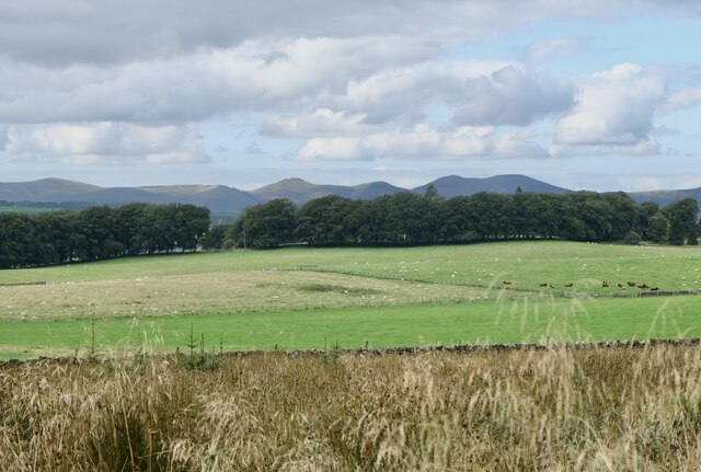
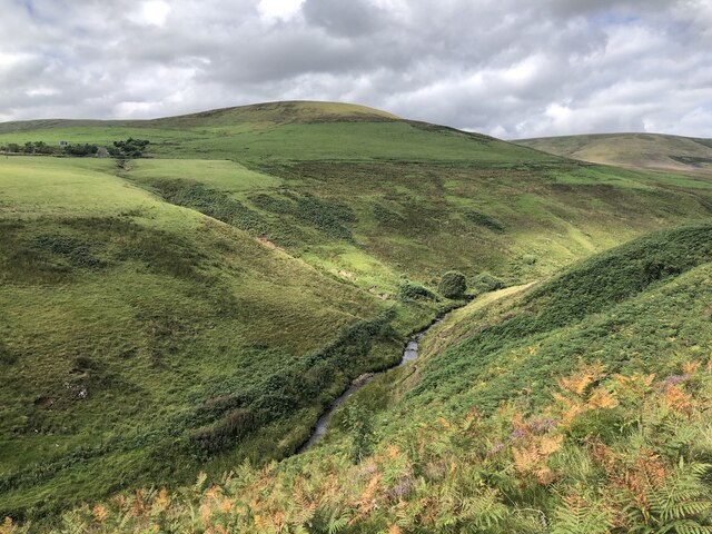
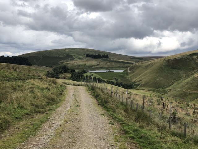
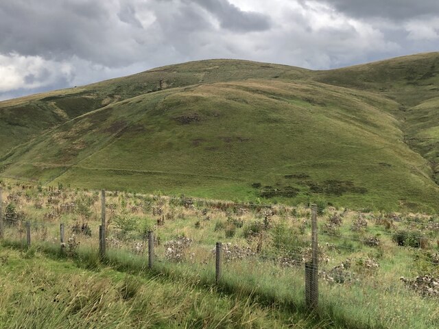
Grain Heads is a prominent hill located in Peeblesshire, a historic county in southern Scotland. With an elevation of approximately 353 meters (1,158 feet), it is considered a prominent feature of the local landscape. Situated in the southern part of Peeblesshire, Grain Heads offers breathtaking panoramic views of the surrounding countryside.

The hill is composed mainly of sedimentary rocks, which provide a stable foundation for the vegetation that covers its slopes. The lower parts of Grain Heads are dominated by grasses and heather, while higher up, there are scattered stands of birch and rowan trees. The diverse flora attracts a variety of bird and animal species, making it a popular spot for nature enthusiasts and birdwatchers.

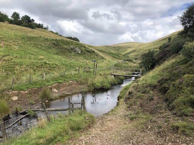
Grain Heads is a haven for outdoor activities, particularly hiking and hillwalking. There are several well-marked trails that lead visitors to the summit, where they can enjoy the stunning vistas and a sense of tranquility. The hill's relatively moderate gradient and accessible paths make it suitable for individuals of varying fitness levels.

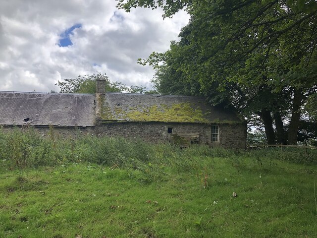
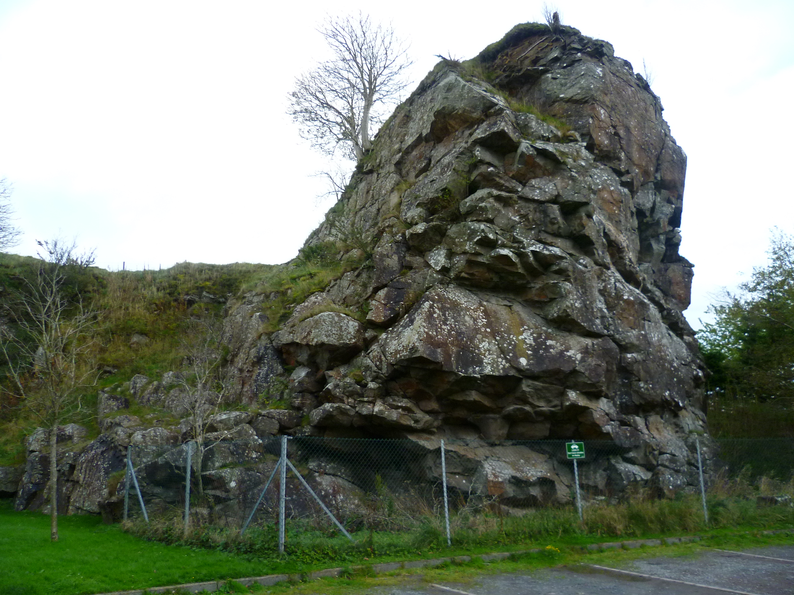
The hill is also steeped in history, with archaeological evidence suggesting human activity in the area dating back thousands of years. Ruins of Iron Age forts and stone circles can be found near the hill, providing a glimpse into the region's ancient past.

Overall, Grain Heads offers a rewarding and picturesque experience for those who visit. Whether it's to enjoy the natural beauty, engage in outdoor activities, or explore the historical significance of the area, Grain Heads is an excellent destination for nature lovers and history enthusiasts alike.

If you have any feedback on the listing, please let us know in the comments section below.

Grain Heads Images

Images are sourced within 2km of 55.798833/-3.3715418 or Grid Reference NT1457. Thanks to Geograph Open Source API. All images are credited.

The Pentland Hills From Portmore Estate
The Pentland Hills
From Portmore Estate
Baddinsgill Reservoir spillway
North Esk, upstream of Carlops Deep cut glen leaving the Pentland Hills.
North Esk, upstream of Carlops
Deep cut glen leaving the Pentland Hills.
Bridge below Fairliehope Connects a path from the road to the North Esk Reservoir with paths on the Midlothian side of the burn. Cattle drink in the foreground.
Bridge below Fairliehope
Connects a path from the road to the North Esk Reservoir with paths on the Midlothian side of the burn. Cattle drink in the foreground.
Steadings, Fairliehope
Red Angus cattle, Fairliehope
Road to the North Esk Reservoir Rounding Fairliehope Hill
Road to the North Esk Reservoir
Rounding Fairliehope Hill
Young trees,  Fairleehope Hill There are numerous small young plantations in the upper North Esk catchment.
Young trees, Fairleehope Hill
There are numerous small young plantations in the upper North Esk catchment.
Road to North Esk Reservoir
Gate, North Esk Cottage Track to the dam.  Note that someone has kindly locked the side gate as well.
Gate, North Esk Cottage
Track to the dam. Note that someone has kindly locked the side gate as well.
North Esk Reservoir Built to ensure a water flow in the North Esk to power the paper mills.  Now the mills have gone, the water has been drawn down to a level needing less dam maintenance and the loch is managed as a nature reserve.
North Esk Reservoir
Built to ensure a water flow in the North Esk to power the paper mills. Now the mills have gone, the water has been drawn down to a level needing less dam maintenance and the loch is managed as a nature reserve.
North Esk Reservoir Track to the dam and a road on the other side which had appeared in the 14 years since my last visit. The dam was built to ensure a water flow in the North Esk to power the paper mills.  Now the mills have gone, the water has been drawn down to a level needing less dam maintenance and the loch is managed as a nature reserve.
North Esk Reservoir
Track to the dam and a road on the other side which had appeared in the 14 years since my last visit. The dam was built to ensure a water flow in the North Esk to power the paper mills. Now the mills have gone, the water has been drawn down to a level needing less dam maintenance and the loch is managed as a nature reserve.
North Esk Reservoir Built to ensure a water flow in the North Esk to power the paper mills.  Now the mills have gone, the water has been drawn down to a level needing less dam maintenance and the loch is managed as a nature reserve.
North Esk Reservoir
Built to ensure a water flow in the North Esk to power the paper mills. Now the mills have gone, the water has been drawn down to a level needing less dam maintenance and the loch is managed as a nature reserve.
Path beside North Esk Reservoir
North Esk Reservoir Built to ensure a water flow in the North Esk to power the paper mills.  Now the mills have gone, the water has been drawn down to a level needing less dam maintenance and the loch is managed as a nature reserve.
North Esk Reservoir
Built to ensure a water flow in the North Esk to power the paper mills. Now the mills have gone, the water has been drawn down to a level needing less dam maintenance and the loch is managed as a nature reserve.
Path beside North Esk Reservoir Heading for the Boar Stane.
Path beside North Esk Reservoir
Heading for the Boar Stane.
North Esk Reservoir The surrounding hillsides have been partly covered in new plantations and there are some game crops. The reservoir ensured a water flow in the North Esk to power the paper mills.  Now the mills have gone, the water has been drawn down to a level needing less dam maintenance and the loch is managed as a nature reserve.
North Esk Reservoir
The surrounding hillsides have been partly covered in new plantations and there are some game crops. The reservoir ensured a water flow in the North Esk to power the paper mills. Now the mills have gone, the water has been drawn down to a level needing less dam maintenance and the loch is managed as a nature reserve.
Path to the Boar Stane A route over the Pentland Hills between Carlops and Buteland.
Path to the Boar Stane
A route over the Pentland Hills between Carlops and Buteland.
Show me another place!

Grain Heads is located at Grid Ref: NT1457 (Lat: 55.798833, Lng: -3.3715418)

Unitary Authority: The Scottish Borders

Police Authority: The Lothians and Scottish Borders

What 3 Words

///townhouse.relaxing.crab. Near West Linton, Scottish Borders

Related Wikis

Pentland Hills

The Pentland Hills are a range of hills southwest of Edinburgh, Scotland. The range is around twenty miles (thirty kilometres) in length, and runs southwest...

Baddinsgill Reservoir

Baddinsgill Reservoir is a small reservoir in the Scottish Borders area of Scotland close to Carlops, West Linton, and the boundary with Midlothian. It...

Carlops

Carlops (Scottish Gaelic: Leum na Caillich) is a small village in the Pentland Hills, within the Scottish Borders area of Scotland, close to the boundary...

Baddinsgill

Baddinsgill is a hamlet in the Scottish Borders area of Scotland. The Baddinsgill Reservoir is a few hundred metres north of the hamlet. == See also... ==

Nearby Amenities

Located within 500m of 55.798833,-3.3715418
Grain Heads
Natural: peak
Wikidata: Q20190875
Lat/Long: 55.7989375/-3.3705229
The data included in this document is from www.openstreetmap.org. The data is made available under ODbL.

Have you been to Grain Heads?

Leave your review of Grain Heads below (or comments, questions and feedback).