Carn Ruabraich
Hill, Mountain in Banffshire
Scotland
Carn Ruabraich

Carn Ruabraich is a prominent hill located in Banffshire, Scotland. With an elevation of approximately 506 meters (1,660 feet), it stands as a notable landmark in the region. Situated near the village of Tomintoul, the highest village in the Highlands, Carn Ruabraich offers breathtaking panoramic views of the surrounding landscape.
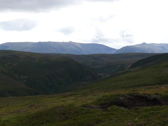
The hill is characterized by its rugged and rocky terrain, which attracts outdoor enthusiasts and hikers seeking a challenging adventure. Its slopes are adorned with heather and grasses, creating a picturesque setting during the summer months. The hill's distinct shape, resembling a cone, adds to its allure and makes it easily recognizable in the area.
The ascent to the summit of Carn Ruabraich can be demanding but rewards climbers with stunning vistas of the Cairngorms National Park and the nearby Glenlivet Estate. On a clear day, one can see as far as the Ben Rinnes mountain range to the north.
Aside from its natural beauty, Carn Ruabraich also holds historical significance. It is said to have been a site of ancient gatherings and ceremonies, with remnants of stone circles and cairns scattered across its slopes. These archaeological features contribute to the hill's mystique and attract those interested in Scotland's ancient past.
Overall, Carn Ruabraich is a captivating hill in Banffshire, offering both physical challenges and natural beauty to those who venture to its summit. Its rich history and stunning vistas make it a must-visit destination for outdoor enthusiasts and history enthusiasts alike.
If you have any feedback on the listing, please let us know in the comments section below.
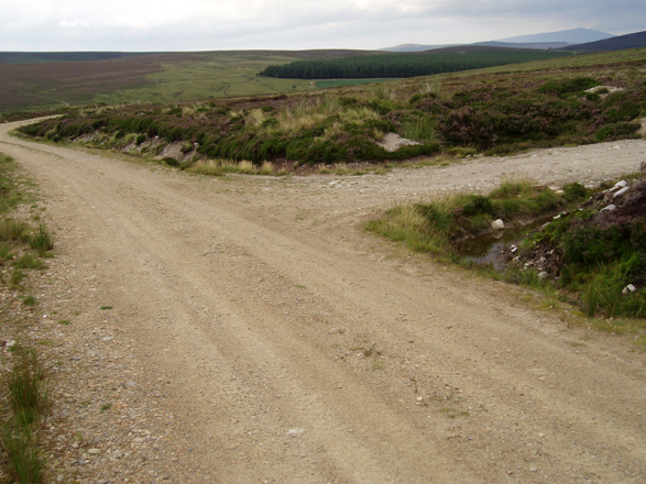
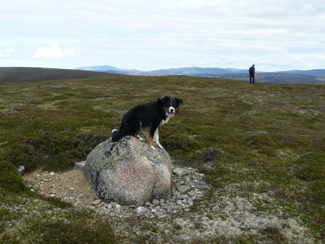
Carn Ruabraich Images
Images are sourced within 2km of 57.194395/-3.4310774 or Grid Reference NJ1312. Thanks to Geograph Open Source API. All images are credited.


Carn Ruabraich is located at Grid Ref: NJ1312 (Lat: 57.194395, Lng: -3.4310774)
Unitary Authority: Moray
Police Authority: North East
What 3 Words
///puddings.premises.burn. Near Grantown-on-Spey, Highland
Nearby Locations
Related Wikis
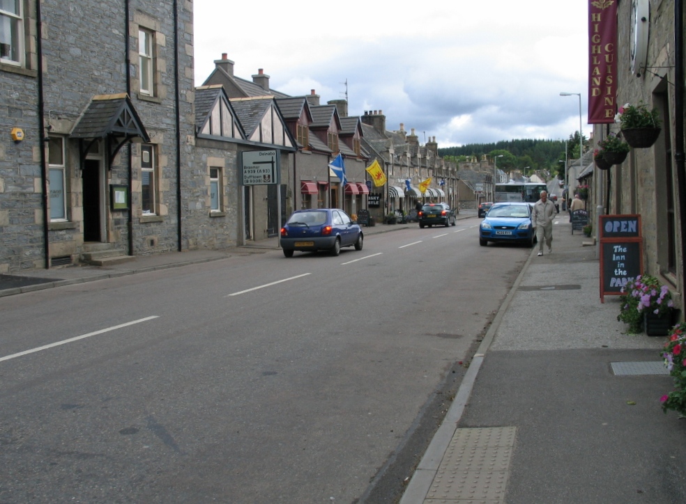
Tomintoul
Tomintoul ( ; from Scottish Gaelic: Tom an t-Sabhail, meaning "Hillock of the Barn") is a village in the Moray council area of Scotland in the historic...

A939 road
The A939 'Lecht Road' connects the A96 at Nairn on the Moray Coast with the A95 Grantown on Spey, then it continues to the A93 at Ballater by way of the...

Delnadamph Lodge
Delnadamph Lodge was located on the Balmoral Estate about 8 miles (13 km) north of the castle. The lodge and its estate lands were bought by Queen Elizabeth...
Nearby Amenities
Located within 500m of 57.194395,-3.4310774Have you been to Carn Ruabraich?
Leave your review of Carn Ruabraich below (or comments, questions and feedback).