Birkside Law

Hill, Mountain in Peeblesshire

Scotland

Birkside Law

Hunt Law Summit This appears to be the summit of Hunt Law - there's no cairn just this old post and it does appear to be on the highest point. Unusual cloud formation above Fifescar Knowe, with Dollar Law to the left. A lovely day with a bitter NW wind.
Hunt Law Summit Credit: Adam Ward

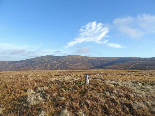
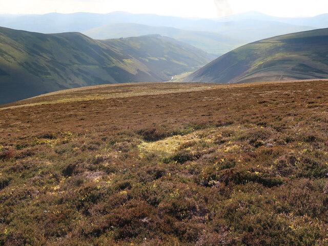
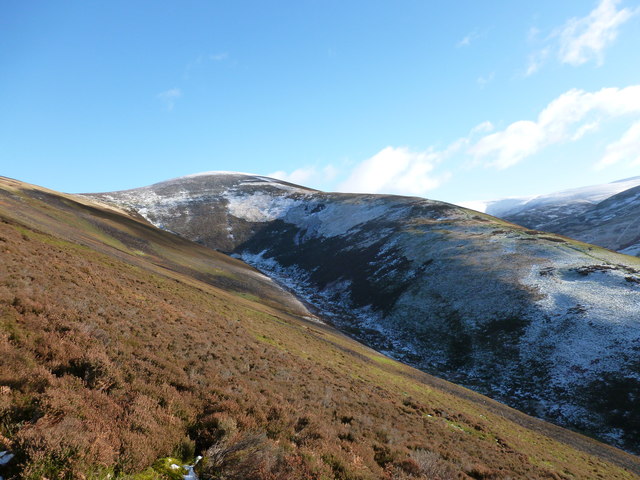
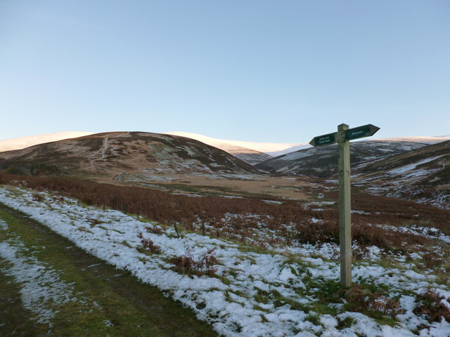
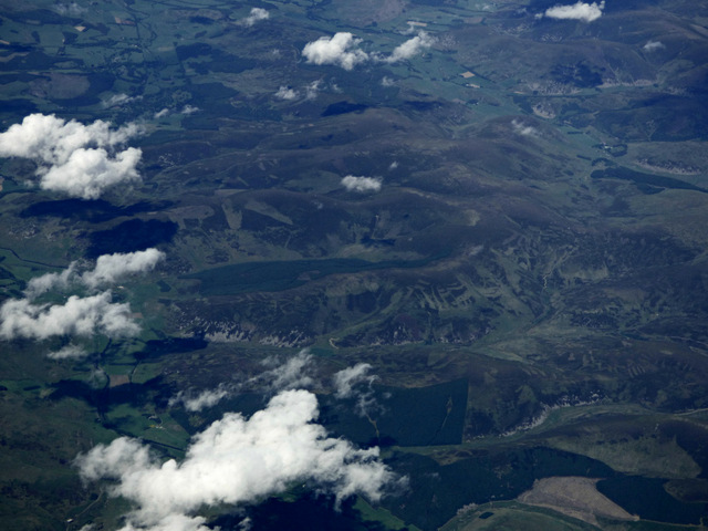
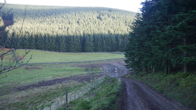
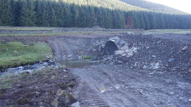
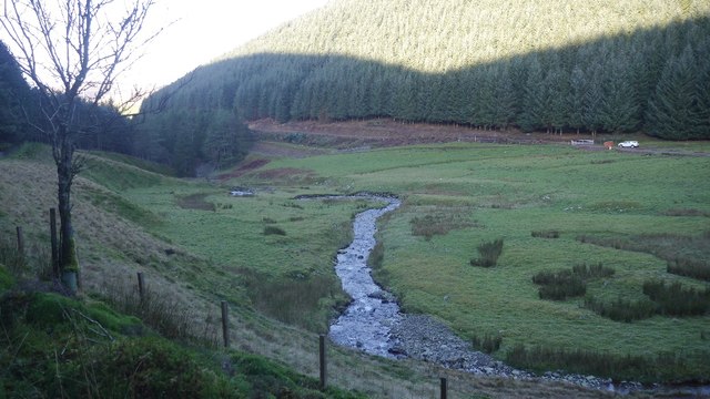
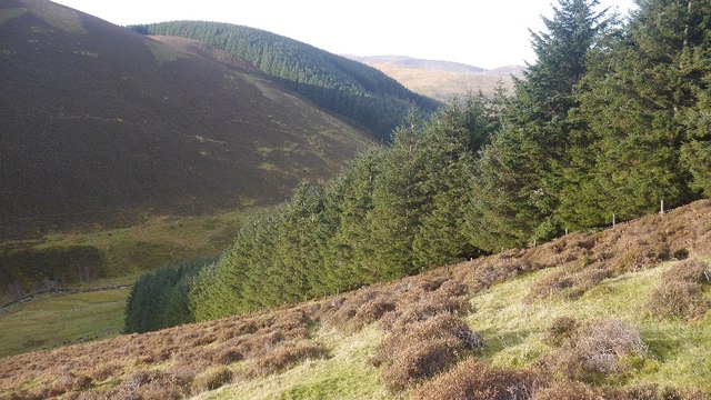
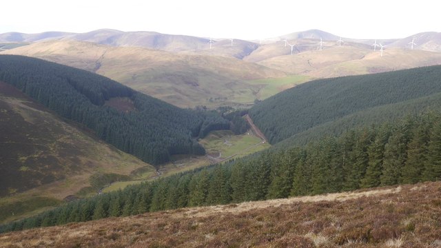
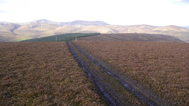
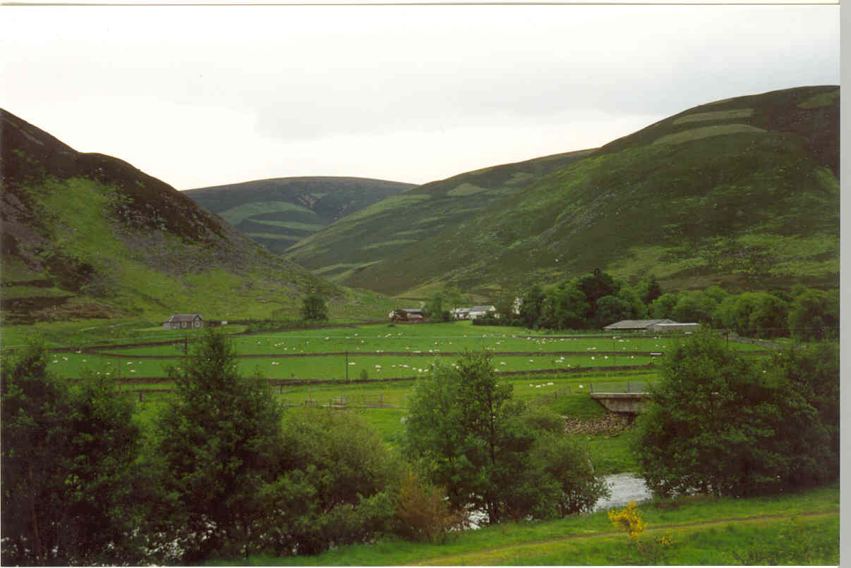
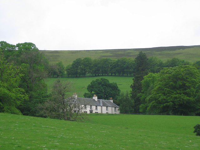
Birkside Law is a prominent hill located in Peeblesshire, a historic county in the southern region of Scotland. Rising to an elevation of approximately 500 meters (1,640 feet), it is classified as a hill rather than a mountain. Situated within the picturesque Tweed Valley, Birkside Law offers breathtaking panoramic views of the surrounding countryside and is a popular destination for both locals and visitors alike.

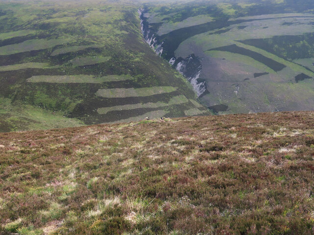
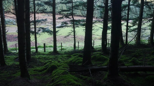
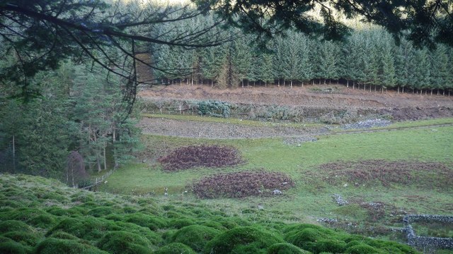
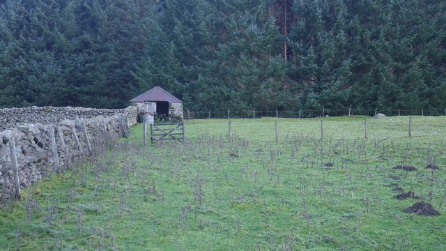
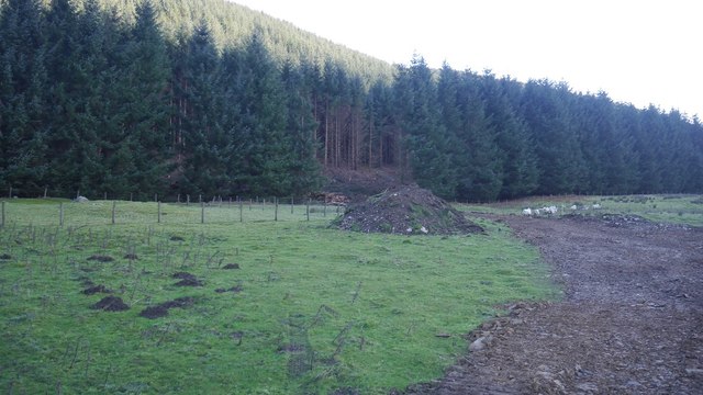
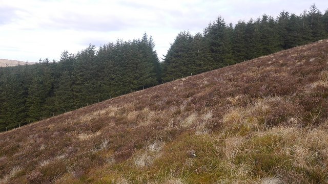
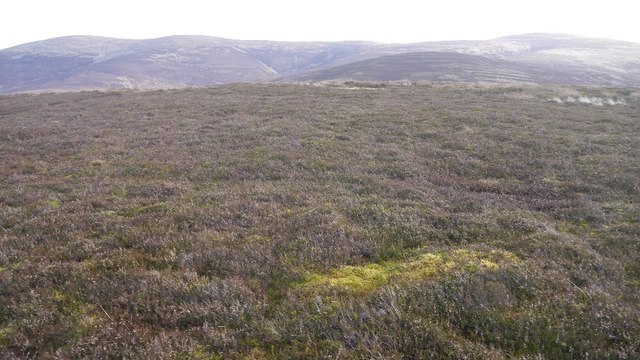
The hill is characterized by its gentle slopes, covered in a patchwork of heather, grasses, and scattered trees. Its summit is adorned with a cairn, a traditional pile of stones, providing a focal point for hikers and nature enthusiasts. From this vantage point, one can admire the rolling hills, verdant valleys, and meandering rivers that define Peeblesshire's landscape.

Birkside Law is a haven for wildlife, attracting various bird species, including buzzards and kestrels, which can often be spotted soaring above its slopes. The hill also supports a diverse range of plant life, with wildflowers such as harebells and primroses adding splashes of color to the countryside.

Access to Birkside Law is facilitated by a network of footpaths and trails that wind their way up its slopes. These paths cater to different levels of fitness and provide opportunities for leisurely strolls or more challenging hikes. The hill's accessibility and natural beauty make it a popular destination for outdoor activities such as walking, running, and picnicking.

In summary, Birkside Law is a picturesque hill in Peeblesshire, Scotland, offering stunning views, diverse wildlife, and a range of recreational opportunities for nature lovers and outdoor enthusiasts.

If you have any feedback on the listing, please let us know in the comments section below.

Birkside Law Images

Images are sourced within 2km of 55.530315/-3.3703237 or Grid Reference NT1327. Thanks to Geograph Open Source API. All images are credited.

Hunt Law Summit This appears to be the summit of Hunt Law - there's no cairn just this old post and it does appear to be on the highest point. Unusual cloud formation above Fifescar Knowe, with Dollar Law to the left. A lovely day with a bitter NW wind.
Hunt Law Summit
This appears to be the summit of Hunt Law - there's no cairn just this old post and it does appear to be on the highest point. Unusual cloud formation above Fifescar Knowe, with Dollar Law to the left. A lovely day with a bitter NW wind.
Moorland near Hunt Law summit Looking towards the Polmood Burn.
Moorland near Hunt Law summit
Looking towards the Polmood Burn.
Grouse moorland above the Polmood Burn The top of a grouse butt is just visible in the centre of the photo.
Grouse moorland above the Polmood Burn
The top of a grouse butt is just visible in the centre of the photo.
Meldonhope Burn and Taberon Law Looking across the valley of the Meldonhope Burn towards the spur named Eskenkneis ('kneis' having the same origin as naze - a headland or spur) which runs down off Taberon Law.
Meldonhope Burn and Taberon Law
Looking across the valley of the Meldonhope Burn towards the spur named Eskenkneis ('kneis' having the same origin as naze - a headland or spur) which runs down off Taberon Law.
Signpost by the Stanhope Burn The main track continues to the ancient Thieves' Road track across the high Tweedsmuir Hills, with the track on the right climbing on to Hunt Law.  The right-hand arrow points back to Stanhope.
Signpost by the Stanhope Burn
The main track continues to the ancient Thieves' Road track across the high Tweedsmuir Hills, with the track on the right climbing on to Hunt Law. The right-hand arrow points back to Stanhope.
Birkside Law from the air The Law is in the lower right corner.
Birkside Law from the air
The Law is in the lower right corner.
Conifer plantation, Polmood A new road has been built into the glen, presumably to take timber out by an alternative route to the weight and height  limited Hearthstanes bridge.  Work was in progress, but out of sight further downstream.
Conifer plantation, Polmood
A new road has been built into the glen, presumably to take timber out by an alternative route to the weight and height limited Hearthstanes bridge. Work was in progress, but out of sight further downstream.
Polmood Glen I took a walk through the trees to check if any work was in progress up the Polmood Glen. I saw a digger earlier from the A701 so as expected the new road and forestry work was not happening near my planned route. The rude man signs were up of course.  
I expect these trees will soon be on their way down the A701.
Polmood Glen
I took a walk through the trees to check if any work was in progress up the Polmood Glen. I saw a digger earlier from the A701 so as expected the new road and forestry work was not happening near my planned route. The rude man signs were up of course. I expect these trees will soon be on their way down the A701.
Logging road, Polmood Glen Work is in progress on building a new road up from Patervan, hence the mud. The woodland in the background looks ready for the chop.  There is now a bridge over the burn here.
Logging road, Polmood Glen
Work is in progress on building a new road up from Patervan, hence the mud. The woodland in the background looks ready for the chop. There is now a bridge over the burn here.
New bridge, Polmood Glen A new road is being built up to here from Patervan, presumably to take the timber out.
New bridge, Polmood Glen
A new road is being built up to here from Patervan, presumably to take the timber out.
Polmood Glen A new road is being built up from Patervan.
Polmood Glen
A new road is being built up from Patervan.
Shed, Polmood Glen Gathering pens beside the conifer plantation.
Shed, Polmood Glen
Gathering pens beside the conifer plantation.
New road, Polmood Glen A new road is being built up into the conifer plantation. Presumably to take timber out.  A digger was at work near Patavan, but all was quiet here.
New road, Polmood Glen
A new road is being built up into the conifer plantation. Presumably to take timber out. A digger was at work near Patavan, but all was quiet here.
Forest edge, Polmood Glen With  a new road being built, it may not be too long before these trees go.
Forest edge, Polmood Glen
With a new road being built, it may not be too long before these trees go.
Conifers on Birkside Law The plantation on the north side of the Polmood Glen.
Conifers on Birkside Law
The plantation on the north side of the Polmood Glen.
Polmood Glen Looking past the conifers and turbines towards Culter Fell.
Polmood Glen
Looking past the conifers and turbines towards Culter Fell.
Birkside Law The fence has gone, replaced by a very messy all terrain vehicle track, the dreaded Argo which really does cut the place up. Of course this will be used to justify another road.
Birkside Law
The fence has gone, replaced by a very messy all terrain vehicle track, the dreaded Argo which really does cut the place up. Of course this will be used to justify another road.
Summit, Birkside Law No fence anymore.
Summit, Birkside Law
No fence anymore.
Show me another place!

Birkside Law is located at Grid Ref: NT1327 (Lat: 55.530315, Lng: -3.3703237)

Unitary Authority: The Scottish Borders

Police Authority: The Lothians and Scottish Borders

What 3 Words

///enrolling.drew.exulted. Near Biggar, South Lanarkshire

Nearby Locations

Birkside Law

Related Wikis

Polmood

Polmood is a small settlement in southern Scotland near Tweedsmuir in the Scottish Borders, in the valley of the River Tweed. Polmood was for many centuries...

Crook Inn

The Crook Inn is an inn in the Scottish Borders, near the village of Tweedsmuir on the A701 road between Broughton and Moffat. It is one of many claimants...

A701 road

The A701 is a major road in Scotland that runs from Dumfries to Edinburgh. == Route == The A701 leaves Dumfries and travels north to meet the A74(M) east...

Stanhope, Peeblesshire

Stanhope is a small settlement in the Scottish Borders region. It is situated in the parish of Drumelzier in Peeblesshire, in the valley of the River...

Broad Law

Broad Law is a hill in the Manor Hills range, part of the Southern Uplands of Scotland. The second-highest point in the Southern Uplands and the highest...

Oliver Castle

Oliver Castle was a medieval tower house, located in upper Tweedsdale in the Scottish Borders. The site of the hillfort known as Oliver Castle is to the...

Tweedsmuir

Tweedsmuir (Scottish Gaelic: Sliabh Thuaidh) is a village and civil parish in Tweeddale, the Scottish Borders Council district, southeastern Scotland....

Mossfennan

Mossfennan is a small settlement in southern Scotland near Drumelzier in the Scottish Borders, in the valley of the River Tweed. Mossfennan is a wooded...

Nearby Amenities

Located within 500m of 55.530315,-3.3703237
Birkside Law
Ele: 594
Natural: peak
Lat/Long: 55.5301326/-3.3709178
The data included in this document is from www.openstreetmap.org. The data is made available under ODbL.

Have you been to Birkside Law?

Leave your review of Birkside Law below (or comments, questions and feedback).