Hammer Head
Hill, Mountain in Peeblesshire
Scotland
Hammer Head

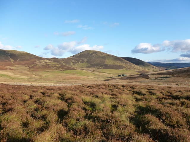
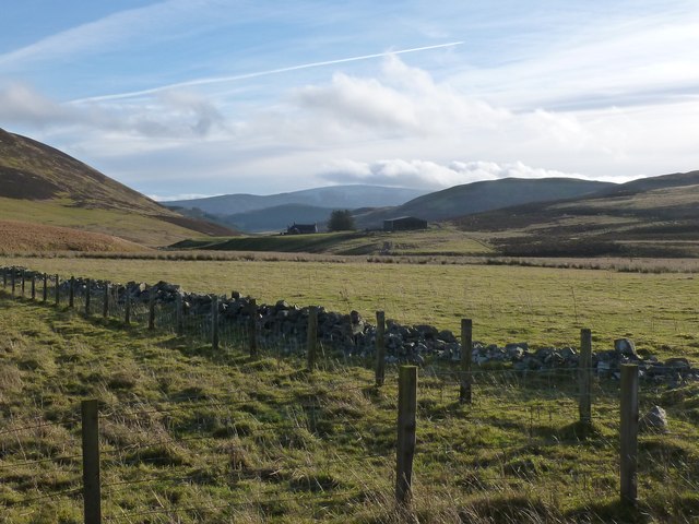
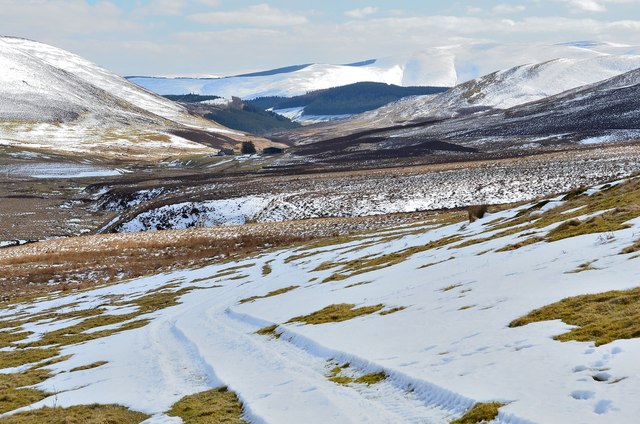
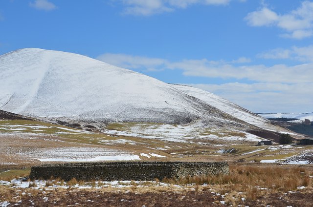
Hammer Head is a prominent hill located in Peeblesshire, a historic county in the southern region of Scotland. Rising to an elevation of approximately 450 meters (1476 feet), it is considered one of the notable landmarks in the area. Situated close to the town of Peebles, Hammer Head offers breathtaking panoramic views of the surrounding countryside, including the picturesque Tweed Valley.
The hill is primarily composed of sedimentary rock, with its distinctive shape resembling that of a hammer head, hence its name. It is a popular destination for hikers and outdoor enthusiasts, offering a variety of walking trails that cater to different levels of ability. The main path leading to the summit is well-maintained and easily accessible, making it suitable for both experienced trekkers and casual visitors.
The ascent to Hammer Head provides an opportunity to observe the diverse flora and fauna found in the region. The hill is home to a variety of plant species, including heather, bracken, and various wildflowers, creating a vibrant and colorful landscape during the summer months. Wildlife such as red deer, foxes, and a variety of bird species can also be spotted in the area.
Hammer Head is not only appreciated for its natural beauty but also holds historical significance. It is believed to have been used as a lookout point during ancient times, serving as a vantage point for early settlers in the region. Today, it continues to attract visitors who are eager to experience the tranquility and majesty of this remarkable hill in Peeblesshire.
If you have any feedback on the listing, please let us know in the comments section below.
Hammer Head Images
Images are sourced within 2km of 55.635547/-3.3804452 or Grid Reference NT1338. Thanks to Geograph Open Source API. All images are credited.


Hammer Head is located at Grid Ref: NT1338 (Lat: 55.635547, Lng: -3.3804452)
Unitary Authority: The Scottish Borders
Police Authority: The Lothians and Scottish Borders
What 3 Words
///barn.dote.gala. Near Biggar, South Lanarkshire
Nearby Locations
Related Wikis
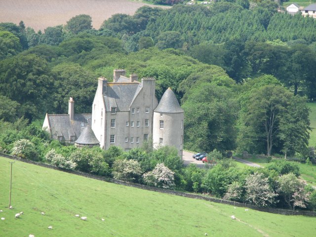
Broughton Place, Scottish Borders
Broughton Place is a historic house in the village of Broughton, Scottish Borders. It was designed by Basil Spence in the style of a 17th-century Scottish...
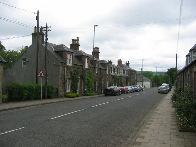
Broughton, Scottish Borders
Broughton is a village in Tweeddale in the historical county of Peeblesshire in the Scottish Borders council area, in the south of Scotland, in the civil...

Dreva on Tweed
Dreva on Tweed (or simply Dreva) is a hamlet in the Scottish Borders. It was historically in Peebles-shire. It is noted for the historical presence of...

Broughton railway station (Scotland)
Broughton railway station served the village of Broughton, Scottish Borders, Scotland from 1860 to 1950 on the Symington, Biggar and Broughton Railway...
Nearby Amenities
Located within 500m of 55.635547,-3.3804452Have you been to Hammer Head?
Leave your review of Hammer Head below (or comments, questions and feedback).