Craw Hill

Hill, Mountain in Midlothian

Scotland

Craw Hill

"Life Mounds" Terraced earthworks with embedded paths, summit sculptures and inscriptions, created by Charles Jencks. The "Life Mounds" form a dramatic entrance to the Jupiter Artland with the access road winding its way through the earthworks.
"Life Mounds" Credit: Oliver Dixon

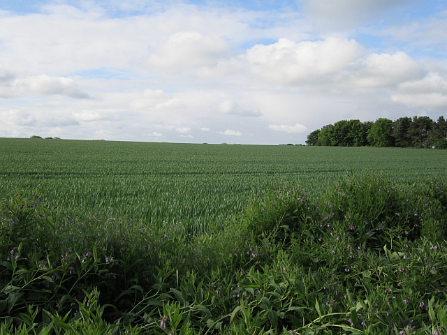
Craw Hill is a prominent hill located in Midlothian, Scotland. Situated approximately 10 miles southeast of the capital city of Edinburgh, it forms part of the picturesque Pentland Hills range. With an elevation of 396 meters (1,299 feet), it offers breathtaking panoramic views of the surrounding countryside.

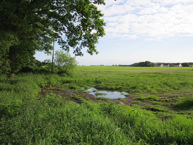
The hill is easily accessible, with various walking routes and trails leading up to its summit. These paths are popular among outdoor enthusiasts and hikers, who can enjoy the diverse flora and fauna that thrive in the area. The hill is covered in heather, grasses, and shrubs, providing a habitat for a range of wildlife, including birds, rabbits, and deer.

Craw Hill is also known for its historical significance. At the top of the hill, there are remnants of an ancient hillfort, believed to have been built during the Iron Age. This archaeological site attracts visitors interested in exploring Scotland's rich cultural heritage.

The hill's location in close proximity to Edinburgh makes it a popular spot for locals and tourists alike. Its accessibility and stunning vistas make it an ideal destination for a day trip or a leisurely hike. Visitors can enjoy the peace and tranquility of the countryside, while still being within easy reach of the city's amenities.

Overall, Craw Hill stands as a beautiful natural landmark, offering a rewarding outdoor experience and a glimpse into Scotland's past.

If you have any feedback on the listing, please let us know in the comments section below.
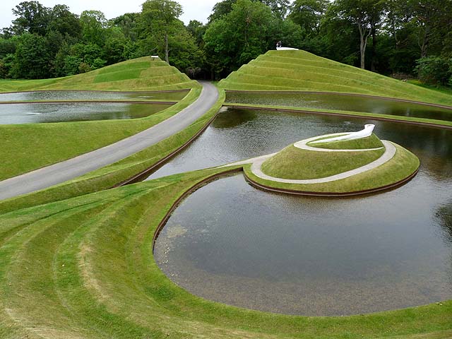
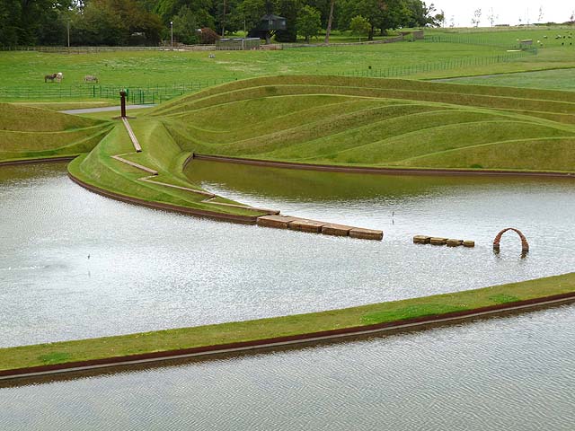
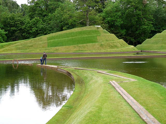
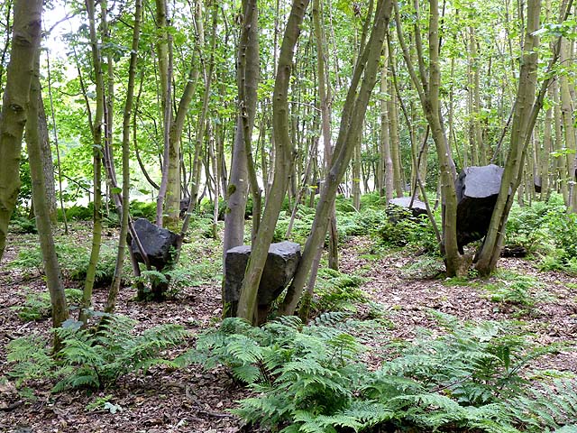
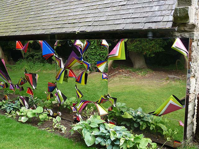
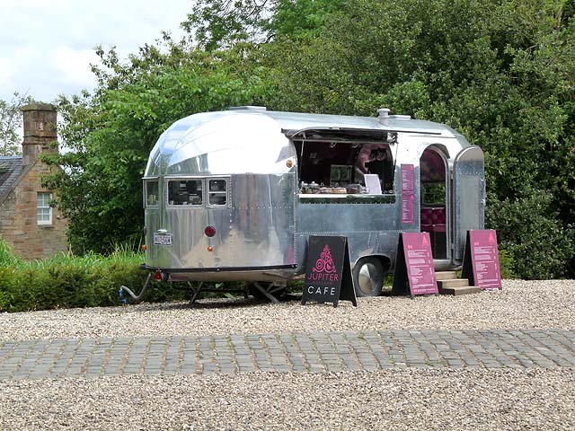
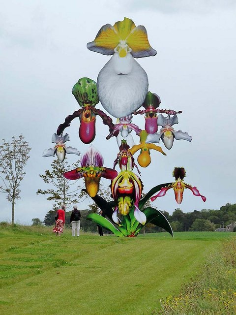
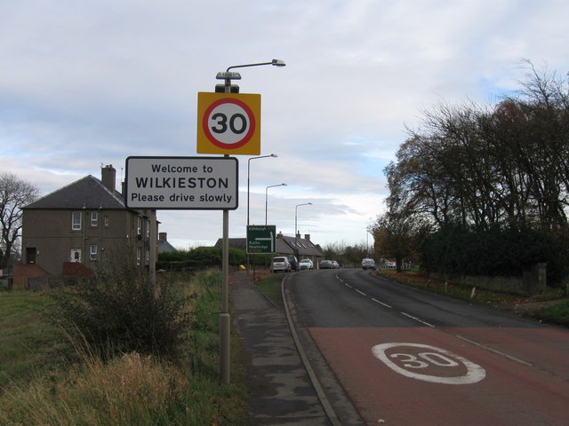
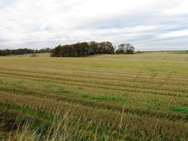
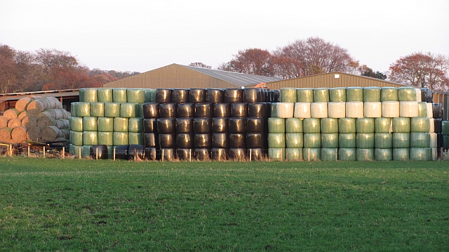
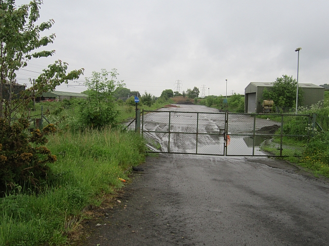
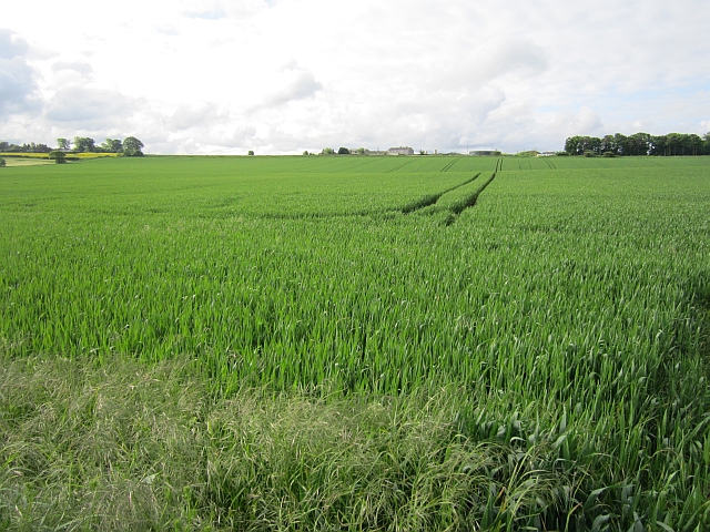
Craw Hill Images

Images are sourced within 2km of 55.908112/-3.3961459 or Grid Reference NT1269. Thanks to Geograph Open Source API. All images are credited.

"Life Mounds" Terraced earthworks with embedded paths, summit sculptures and inscriptions, created by Charles Jencks. The "Life Mounds" form a dramatic entrance to the Jupiter Artland with the access road winding its way through the earthworks.
"Life Mounds"
Terraced earthworks with embedded paths, summit sculptures and inscriptions, created by Charles Jencks. The "Life Mounds" form a dramatic entrance to the Jupiter Artland with the access road winding its way through the earthworks.
"Life Mounds" Terraced earthworks with embedded paths, summit sculptures and inscriptions, created by Charles Jencks. The "Life Mounds" form a dramatic entrance to the Jupiter Artland with the access road winding its way through and behind the earthworks. There is a fountain on top of the pillar, from which the water is directed along the channels down the peninsula
"Life Mounds"
Terraced earthworks with embedded paths, summit sculptures and inscriptions, created by Charles Jencks. The "Life Mounds" form a dramatic entrance to the Jupiter Artland with the access road winding its way through and behind the earthworks. There is a fountain on top of the pillar, from which the water is directed along the channels down the peninsula
"Life Mounds" Terraced earthworks with embedded paths, summit sculptures and inscriptions, created by Charles Jencks. The "Life Mounds" form a dramatic entrance to the Jupiter Artland with the access road winding its way through the earthworks. Water flows along the zig zag channel in the foreground to empty into the lake at the end of the promontory.
"Life Mounds"
Terraced earthworks with embedded paths, summit sculptures and inscriptions, created by Charles Jencks. The "Life Mounds" form a dramatic entrance to the Jupiter Artland with the access road winding its way through the earthworks. Water flows along the zig zag channel in the foreground to empty into the lake at the end of the promontory.
"Stone Coppice" Boulders have been placed by Andy Goldsworthy in the branches of these coppiced trees. An art installation in Badger Wood at the southern end of Jupiter Artland.
"Stone Coppice"
Boulders have been placed by Andy Goldsworthy in the branches of these coppiced trees. An art installation in Badger Wood at the southern end of Jupiter Artland.
"A forest" Tessellated panels of spray painted chrome peeled back to reveal the background colours. An art installation by Jim Lambie on the back wall of the Steading, the central building in Jupiter Artland. The mirrored surface reflects the forest behind.
"A forest"
Tessellated panels of spray painted chrome peeled back to reveal the background colours. An art installation by Jim Lambie on the back wall of the Steading, the central building in Jupiter Artland. The mirrored surface reflects the forest behind.
Jupiter cafe The cafe at Jupiter Artland housed in an American style retro trailer caravan.
Jupiter cafe
The cafe at Jupiter Artland housed in an American style retro trailer caravan.
"Love Bomb" Artwork by Marc Quinn on Chestnut Avenue, part of Jupiter Artland. A 12-metre high orchid digitally painted onto a polyflax canvas, adhered to a stainless steel orchid sculpture then coated with polyurethane resin.
"Love Bomb"
Artwork by Marc Quinn on Chestnut Avenue, part of Jupiter Artland. A 12-metre high orchid digitally painted onto a polyflax canvas, adhered to a stainless steel orchid sculpture then coated with polyurethane resin.
Entrance to Wilkieston
Fields west of Wilkieston
Silage stash, Coxydene Winter fodder stored outside the farm buildings.
Silage stash, Coxydene
Winter fodder stored outside the farm buildings.
Hardstanding beside the railway Marked on the map as a waste transfer station but looking hardly used now. One of the Dalmahoy quarries was filled in by a landfill site, so the waste may have all gone below the ground by now.
Hardstanding beside the railway
Marked on the map as a waste transfer station but looking hardly used now. One of the Dalmahoy quarries was filled in by a landfill site, so the waste may have all gone below the ground by now.
Railway west of Edinburgh The railway runs to Carstairs as part of the West Coast Mainline with a non electric branch heading to Glasgow via Shotts. These are two of the four routes between Glasgow and Edinburgh.
Railway west of Edinburgh
The railway runs to Carstairs as part of the West Coast Mainline with a non electric branch heading to Glasgow via Shotts. These are two of the four routes between Glasgow and Edinburgh.
Arable land off Clifton Road
Wheat, Bonnington Mains
A wet edge to a field Not the best drainage at this side of a large field by Linburn.
A wet edge to a field
Not the best drainage at this side of a large field by Linburn.
A burn near Kirknewton Cattle beside a small burn, east of Kirknewton.
A burn near Kirknewton
Cattle beside a small burn, east of Kirknewton.
Field, Whitehill Old concrete fence posts beside a field of cereals.
Field, Whitehill
Old concrete fence posts beside a field of cereals.
An old trailer A fence has been cobbled together by lashing gates to an old trailer. The field is shown as woodland on some maps.
An old trailer
A fence has been cobbled together by lashing gates to an old trailer. The field is shown as woodland on some maps.
Show me another place!

Craw Hill is located at Grid Ref: NT1269 (Lat: 55.908112, Lng: -3.3961459)

Unitary Authority: City of Edinburgh

Police Authority: Edinburgh

What 3 Words

///baseballs.birthing.crops. Near Ratho, Edinburgh

Nearby Locations

Bonnington Craw Hill

Related Wikis

Haltoun House

Haltoun House, usually known as Hatton House, (or occasionally Argile House), was a Scottish baronial mansion set in a park, with extensive estates in...

Burnwynd

Burnwynd is a village on the border between the City of Edinburgh council area and West Lothian, Scotland. It is situated on the A71 road. Burnwynd is...

Wilkieston

Wilkieston is a small village in West Lothian, Scotland. It is located on the A71 road, 0.93 miles (1.5 km) north of Kirknewton, 1.2 miles (2 km) south...

Linburn Centre

The Linburn Centre is a day centre for blinded war veterans at Wilkieston in West Lothian, Scotland, around 6 kilometres (3.7 mi) west of the city of Edinburgh...

Nearby Amenities

Located within 500m of 55.908112,-3.3961459
Cup and Ring Marked Rocks
Created By: Potlatch 0.10f
Historic: archaeological_site
Lat/Long: 55.9122291/-3.3948137
Power: pole
Lat/Long: 55.9055618/-3.3939385
Power: pole
Lat/Long: 55.9054716/-3.3983105
Power: pole
Lat/Long: 55.9048341/-3.3990239
Power: pole
Lat/Long: 55.9059753/-3.3967521
Power: pole
Lat/Long: 55.9042176/-3.3997428
Power: pole
Switch: yes
Lat/Long: 55.9052957/-3.3921924
Power: pole
Lat/Long: 55.9060775/-3.3975943
Power: pole
Lat/Long: 55.9049301/-3.391284
Power: pole
Lat/Long: 55.9057783/-3.3954297
Tormain
Ele: 147
Natural: peak
Lat/Long: 55.9123709/-3.3949518
Power: pole
Lat/Long: 55.9048415/-3.3954433
Power: pole
Lat/Long: 55.9051768/-3.3953467
The data included in this document is from www.openstreetmap.org. The data is made available under ODbL.

Have you been to Craw Hill?

Leave your review of Craw Hill below (or comments, questions and feedback).