Gallow Hill

Hill, Mountain in Morayshire

Scotland

Gallow Hill

Trig point on Hill of the Wangie
Trig point on Hill of the Wangie Credit: Steven Brown

Gallow Hill is an imposing hill located in Morayshire, Scotland. It is situated near the town of Elgin, approximately 40 miles east of Inverness. Rising to a height of 240 meters (790 feet), Gallow Hill offers panoramic views of the surrounding countryside and is a popular destination for outdoor enthusiasts and nature lovers.

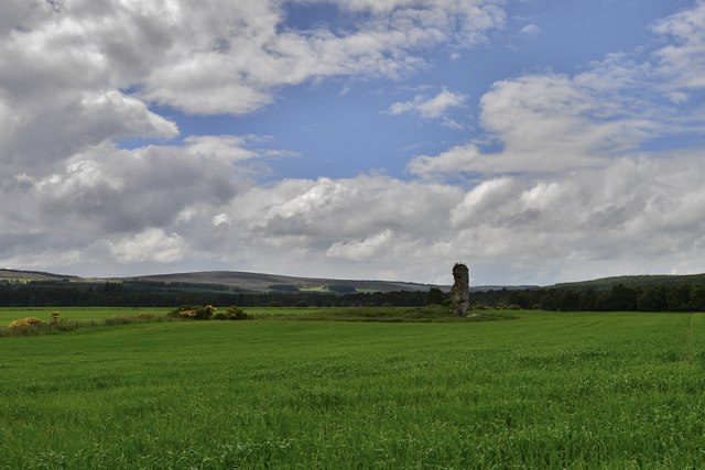
The hill is characterized by its distinctive conical shape, which is a result of its volcanic origins. It is composed mainly of basalt, a type of volcanic rock that solidified millions of years ago during volcanic activity in the region. This has created a rugged and steep terrain, with rocky outcrops and cliffs that add to the hill's dramatic appearance.

Gallow Hill is also known for its rich historical significance. It is believed to have been used as a site for public executions during the medieval period, hence its name "Gallow" Hill. The exact details and frequency of these executions are unclear, but the hill's association with such events adds an eerie aura to its atmosphere.

Today, Gallow Hill has become a popular destination for hikers and walkers, offering various trails and paths that cater to different levels of difficulty. The hill is covered in heather and grasses, providing a haven for wildlife, including birds of prey and various species of wildflowers.

Overall, Gallow Hill is a captivating natural landmark that combines both natural beauty and historical intrigue, making it a must-visit destination for those exploring Morayshire and its surrounding areas.

If you have any feedback on the listing, please let us know in the comments section below.
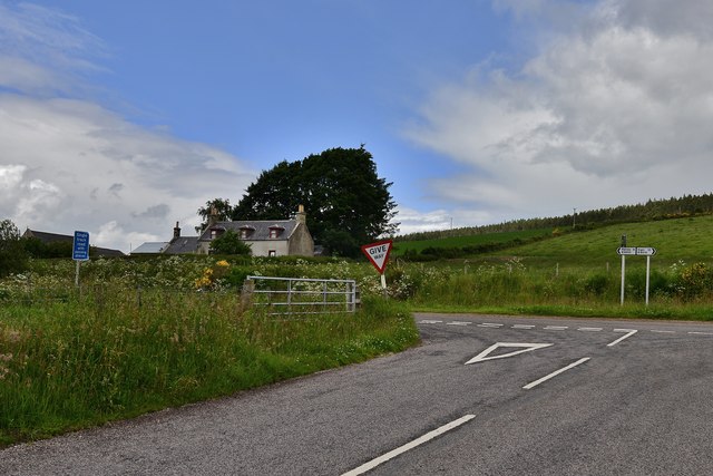
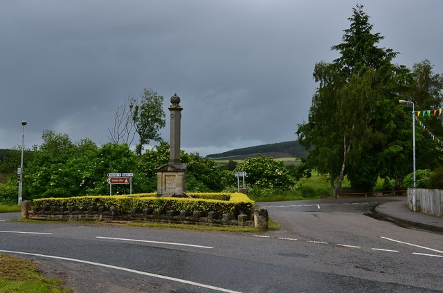
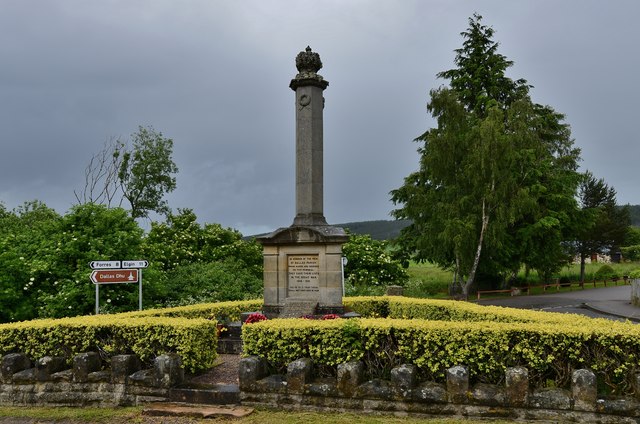
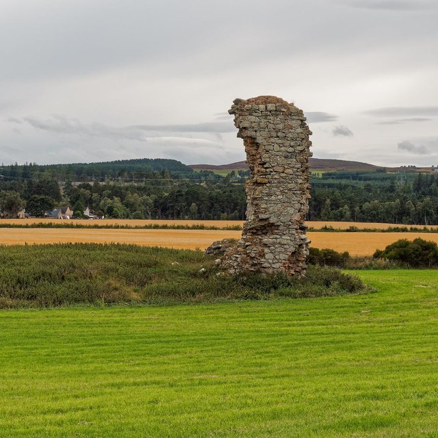
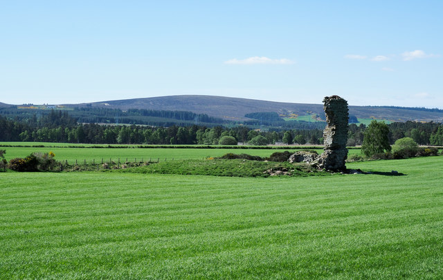
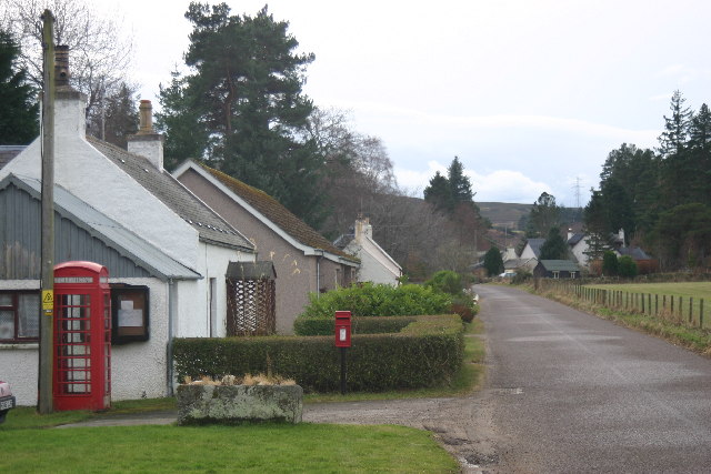
Gallow Hill Images

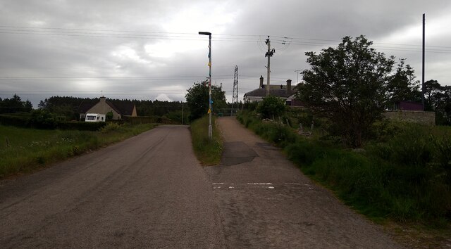
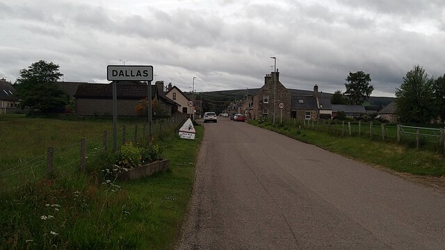
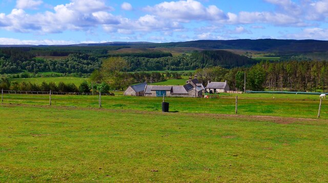
Images are sourced within 2km of 57.550381/-3.4584806 or Grid Reference NJ1252. Thanks to Geograph Open Source API. All images are credited.

Trig point on Hill of the Wangie
War memorial in Dallas
Up the hill to Dallas Primary School
Approaching Dallas from the B9010
The road from Dallas to Aultahuish
Scottackley Farm
Scottackley Farm
Hatton: Where the B9010 joins the road to Dallas
Hatton: The remains of Tor Castle
Dallas War Memorial 1
Dallas War Memorial 2
Chimney Sweeper Moth Odezia atrata, in the grass by the River Lossie
Chimney Sweeper Moth
Odezia atrata, in the grass by the River Lossie
St Michael's Manse The former Church of Scotland manse which is category C listed and dating from 1905, is totally dominated by this enormous newly upgraded pylon and power line
St Michael's Manse
The former Church of Scotland manse which is category C listed and dating from 1905, is totally dominated by this enormous newly upgraded pylon and power line
Solar panels behind St Michael's Church It looks like these solar panels supply the church, but maybe for the adjacent Former manse
Solar panels behind St Michael's Church
It looks like these solar panels supply the church, but maybe for the adjacent Former manse
Bell Tower St Michael's Church Date on the tower 1793, the weather vane has seen better days. the church is category B listed
<span class="nowrap"><a title="https://www.britishlistedbuildings.co.uk/200333251-dallas-parish-church-church-of-scotland-watch-house-cross-and-burial-ground-speyside-glenlivet-ward#.W0dcB8InZaQ" rel="nofollow ugc noopener" href="https://www.britishlistedbuildings.co.uk/200333251-dallas-parish-church-church-of-scotland-watch-house-cross-and-burial-ground-speyside-glenlivet-ward#.W0dcB8InZaQ">Link</a><img style="margin-left:2px;" alt="External link" title="External link - shift click to open in new window" src="https://s1.geograph.org.uk/img/external.png" width="10" height="10"/></span>
Bell Tower St Michael's Church
Date on the tower 1793, the weather vane has seen better days. the church is category B listed LinkExternal link
Mercat Cross St Michael's Church Damaged head of the Mercat Cross in St Michael's Church
Mercat Cross St Michael's Church
Damaged head of the Mercat Cross in St Michael's Church
Tor Castle All that remains of Tor Castle is the north-west wall 
<span class="nowrap"><a title="https://canmore.org.uk/site/16103/tor-castle" rel="nofollow ugc noopener" href="https://canmore.org.uk/site/16103/tor-castle">Link</a><img style="margin-left:2px;" alt="External link" title="External link - shift click to open in new window" src="https://s1.geograph.org.uk/img/external.png" width="10" height="10"/></span>
Tor Castle
All that remains of Tor Castle is the north-west wall LinkExternal link
Forest ride with trig point The pillar stands in a narrow ride at the accepted, 319 m. summit, of Hill of the Wangie. The view is near to south, towards a wider forest ride, not apparent in the image.
Forest ride with trig point
The pillar stands in a narrow ride at the accepted, 319 m. summit, of Hill of the Wangie. The view is near to south, towards a wider forest ride, not apparent in the image.
Field with ruin on south side of B9010 The field is on the south side of the B road at a junction in the vicinity of the farm at Hatton. The ruin, a 'ruined ruin', is that of Tor Castle.
The distant hill must be Mill Buie.
Field with ruin on south side of B9010
The field is on the south side of the B road at a junction in the vicinity of the farm at Hatton. The ruin, a 'ruined ruin', is that of Tor Castle. The distant hill must be Mill Buie.
Show me another place!

Gallow Hill is located at Grid Ref: NJ1252 (Lat: 57.550381, Lng: -3.4584806)

Unitary Authority: Moray

Police Authority: North East

What 3 Words

///breathed.aboard.fraction. Near Kinloss, Moray

Related Wikis

Dallas, Moray

Dallas (Scottish Gaelic: Dalais [ˈt̪al̪ˠɪʃ]) is a small rural village in Moray, Scotland. It is located 12 miles (19 km) south west of Elgin just off the...

Kellas, Moray

Kellas (Scottish Gaelic: Ceallais) is a village in Moray, Scotland. It is approximately 3 miles (5 km) northeast of Dallas on the B9010 road. The Kellas...

Blervie Castle

Blervie Castle is a ruined 16th-century Z-plan tower house, about 2.5 miles (4.0 km) south-east of Forres, Moray, Scotland, and about 1 mile (1.6 km) north...

Asliesk Castle

Asliesk Castle is a ruined 16th-century castle about 7 miles (11 km) west of Elgin, Moray, Scotland, near Alves and Monoughty Woods at Asliesk. == History... ==

Nearby Amenities

Located within 500m of 57.550381,-3.4584806
Design: barrel
Power: tower
Lat/Long: 57.5534219/-3.4610545
Design: barrel
Power: tower
Lat/Long: 57.5517847/-3.4643218
Design: barrel
Power: tower
Lat/Long: 57.5538883/-3.4551695
Power: pole
Lat/Long: 57.5537349/-3.4625565
Power: pole
Lat/Long: 57.5535463/-3.4636942
Power: pole
Lat/Long: 57.5539144/-3.4614745
Power: pole
Lat/Long: 57.5541151/-3.4602877
Power: pole
Lat/Long: 57.5543138/-3.4591122
Power: pole
Lat/Long: 57.5545105/-3.4578725
Power: pole
Lat/Long: 57.5547072/-3.456697
Power: pole
Lat/Long: 57.5507118/-3.4629916
The data included in this document is from www.openstreetmap.org. The data is made available under ODbL.

Have you been to Gallow Hill?

Leave your review of Gallow Hill below (or comments, questions and feedback).