Moel y Fronllwyd

Hill, Mountain in Montgomeryshire

Wales

Moel y Fronllwyd

Ordnance Survey Rivet This OS rivet can be found on the cattle grid north side of the road. It marks a point 328.116m above mean sea level.
Ordnance Survey Rivet Credit: Adrian Dust

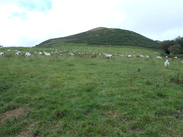
Moel y Fronllwyd is a prominent hill located in Montgomeryshire, Wales. It lies in the northern part of the county, near the town of Llanfyllin. With an elevation of 415 meters (1,362 feet), it is considered a significant landmark in the region.

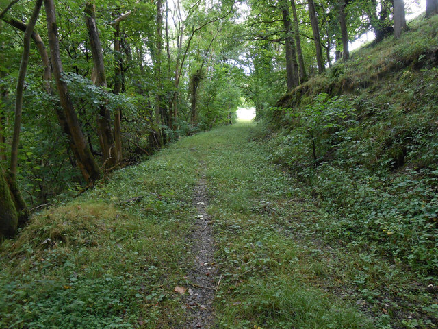
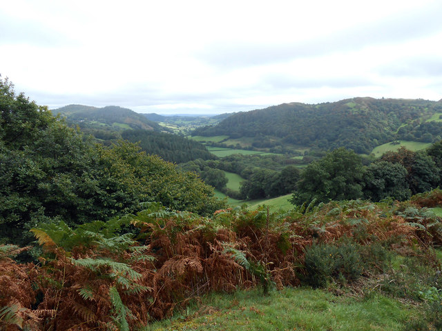
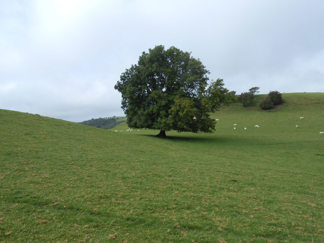
The hill offers breathtaking panoramic views of the surrounding countryside, making it a popular destination for hikers and nature enthusiasts. Its slopes are covered with heather and grass, creating a picturesque landscape that changes colors with the seasons. The summit provides visitors with a perfect vantage point to admire the rolling hills, valleys, and distant mountains that stretch out before them.

The hill is easily accessible, with several walking trails leading to the top. One of the most popular routes starts from Llanfyllin and takes approximately two hours to complete. Along the way, hikers may encounter various wildlife species like rabbits, foxes, and birds of prey.

Moel y Fronllwyd is also steeped in history. It is believed to have been used as a lookout point during medieval times, offering strategic views of the surrounding areas. The hill's name translates to "bare hill of the boundary," indicating its historical significance as a marker for territorial divisions.

Whether it's for the stunning views, the abundance of wildlife, or the historical intrigue, Moel y Fronllwyd is a must-visit destination for those exploring Montgomeryshire. Its natural beauty and cultural heritage make it a cherished landmark in the area.

If you have any feedback on the listing, please let us know in the comments section below.

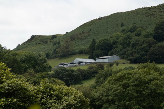
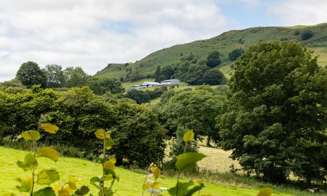
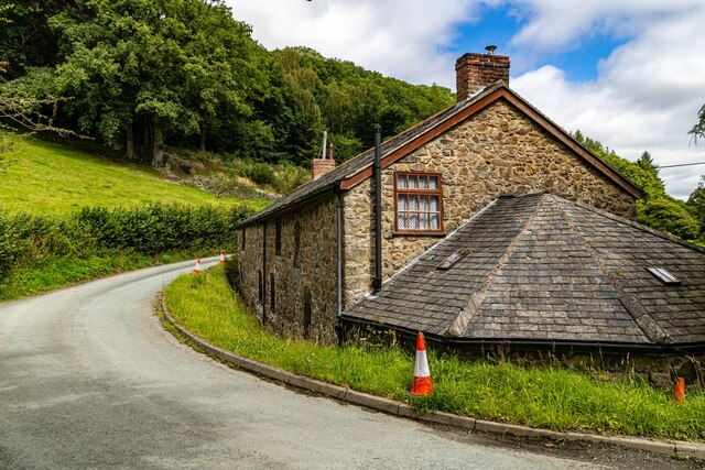
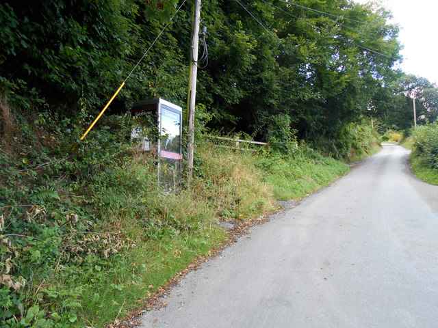
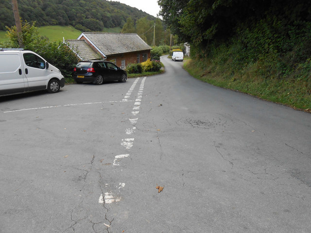
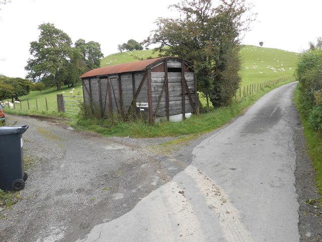
Moel y Fronllwyd Images

Images are sourced within 2km of 52.749443/-3.3047685 or Grid Reference SJ1217. Thanks to Geograph Open Source API. All images are credited.

Ordnance Survey Rivet This OS rivet can be found on the cattle grid north side of the road. It marks a point 328.116m above mean sea level.
Ordnance Survey Rivet
This OS rivet can be found on the cattle grid north side of the road. It marks a point 328.116m above mean sea level.
New House New house under construction near Bachie Ganol.
New House
New house under construction near Bachie Ganol.
Plas Houses at Plas.
Plas
Houses at Plas.
The Larches
The Larches
Allt-Goch
Allt-Goch
Allt-Goch
Allt-Goch
Cwm Nant y Meichiaid communication centre Other than shear rural loveliness, there is not much to see at Cwm Nant-y-Meichiaid.  I will shortly post photos from the hills round-abouts - and also the 180 degree view from this defunct phonebox.
Cwm Nant y Meichiaid communication centre
Other than shear rural loveliness, there is not much to see at Cwm Nant-y-Meichiaid. I will shortly post photos from the hills round-abouts - and also the 180 degree view from this defunct phonebox.
Cwm Nant-y-Meichiaid city centre Rush hour in Cwm Nant-y-Meichiaid.  This photo 180 degrees from my photo of the phone box (behind me).  The valley is gorgeous, but you have to get up high to appreciate it properly.
Cwm Nant-y-Meichiaid city centre
Rush hour in Cwm Nant-y-Meichiaid. This photo 180 degrees from my photo of the phone box (behind me). The valley is gorgeous, but you have to get up high to appreciate it properly.
Forest track in Big Wood, Cwm Nant-y-Meichiaid We thought this was the public right of way from the bend at Cwm Nant - it isn't - we took the wrong path - this one ended in the field which is the light at the end of the tunnel in this picture.
Forest track in Big Wood, Cwm Nant-y-Meichiaid
We thought this was the public right of way from the bend at Cwm Nant - it isn't - we took the wrong path - this one ended in the field which is the light at the end of the tunnel in this picture.
Looking down into Cwm Nant-y-Meichiaid A look back into this loveliest of quiet and hidden valleys deep in rural Montgomeryshire.  This is effectively nowhere, and that valley is the middle of it.  There are a few places like that around here.  The hilltops, undulate for miles and navigation, even for experienced map-readers can still be a little confusing.  And I live here.  The twin hills are unnamed as far as the map goes, but lie just south of Craignant Mawr.
Looking down into Cwm Nant-y-Meichiaid
A look back into this loveliest of quiet and hidden valleys deep in rural Montgomeryshire. This is effectively nowhere, and that valley is the middle of it. There are a few places like that around here. The hilltops, undulate for miles and navigation, even for experienced map-readers can still be a little confusing. And I live here. The twin hills are unnamed as far as the map goes, but lie just south of Craignant Mawr.
Ash tree in bwlch between two minor tops Ash trees are magical.  Just go and touch this one to find out.  Hidden from the rest of humanity except those braving this rarely walked path below Moel Llaethbwlch.
Ash tree in bwlch between two minor tops
Ash trees are magical. Just go and touch this one to find out. Hidden from the rest of humanity except those braving this rarely walked path below Moel Llaethbwlch.
Trackway to Craignant-mawr An extremely peaceful area - a lot of our walked covered the endless lanes and we only saw one car all day - the postman.  Moel Llaethbwlch behind the photographer.
Trackway to Craignant-mawr
An extremely peaceful area - a lot of our walked covered the endless lanes and we only saw one car all day - the postman. Moel Llaethbwlch behind the photographer.
Moel Llaethbwlch When I first glanced at the map, without my reading glasses, I read it as Moel Llaethbuwch.  This as a name far more prosaic in that it would have meant Milky Cow Hill.  Milk Pass Hill a good second place.  This hill at 1,190ft stands proud of the many local bumps.  Strangely, there is a spot height of 348 metres slightly northwest and below the summit.
Moel Llaethbwlch
When I first glanced at the map, without my reading glasses, I read it as Moel Llaethbuwch. This as a name far more prosaic in that it would have meant Milky Cow Hill. Milk Pass Hill a good second place. This hill at 1,190ft stands proud of the many local bumps. Strangely, there is a spot height of 348 metres slightly northwest and below the summit.
Start of bridleway across ridge behind Moel Llaethbwlch The one and only footpath sign and stile we found on our entire walk.  And this gate when we tried to open it collapsed - the post had rotted through at the base.  This even though the whole gate and stile seemed fairly new.
Start of bridleway across ridge behind Moel Llaethbwlch
The one and only footpath sign and stile we found on our entire walk. And this gate when we tried to open it collapsed - the post had rotted through at the base. This even though the whole gate and stile seemed fairly new.
Transmitter station at Moel y Fronllwyd Couldn't gain much intelligence as to what this place was about from the signs thereon.  But it did make a great picnic stop.
Transmitter station at Moel y Fronllwyd
Couldn't gain much intelligence as to what this place was about from the signs thereon. But it did make a great picnic stop.
Curious cattle on the bridleway by Moel Llaethbwlch If anyone's walked this path this year I'd be surprised.  These youngsters were certainly interested in the first passers-by in a while.
Curious cattle on the bridleway by Moel Llaethbwlch
If anyone's walked this path this year I'd be surprised. These youngsters were certainly interested in the first passers-by in a while.
Track to somewhere We couldn't even glean from the ordnance survey or later via an internet search just where this track goes to.  Not wanting to trespass, it would seem to be an agricultural building.  It could just be the highly secretive Supreme Headquarters of the Alien Defence Organisation(SHADO).  Then again it might just be a big shed.  But hey, it's in grid square SJ115. Enjoy.
Track to somewhere
We couldn't even glean from the ordnance survey or later via an internet search just where this track goes to. Not wanting to trespass, it would seem to be an agricultural building. It could just be the highly secretive Supreme Headquarters of the Alien Defence Organisation(SHADO). Then again it might just be a big shed. But hey, it's in grid square SJ115. Enjoy.
Show me another place!

Moel y Fronllwyd is located at Grid Ref: SJ1217 (Lat: 52.749443, Lng: -3.3047685)

Unitary Authority: Powys

Police Authority: Dyfed Powys

What 3 Words

///tablets.winds.glitz. Near Llanfyllin, Powys

Related Wikis

Bodfach

Bodfach is a hamlet in the community of Llanfyllin, Powys, Wales, which is 89 miles (144 km) from Cardiff and 160 miles (257 km) from London.Nearby Bodfach...

Llanfyllin High School

Llanfyllin High School (Welsh: Ysgol Uwchradd Llanfyllin) was a bilingual secondary school situated in the mid-Wales town of Llanfyllin. As of its final...

Llanfyllin

Llanfyllin (Welsh pronunciation: [ɬanˈvəɬɪn] – ) is a market town and community in Powys, Wales. The town population in 2021 was 1,586 and the town's...

Llanfyllin railway station

Llanfyllin railway station is the former terminal station of the Llanfyllin Branch of Cambrian Railways, which served the town of Llanfyllin in Powys,...

Nearby Amenities

Located within 500m of 52.749443,-3.3047685
Moel Y Fronllwyd
Ele: 390
Natural: peak
Lat/Long: 52.7493288/-3.3048828
Building: yes
Lat/Long: 52.7503565/-3.3107039
Generator Method: wind_turbine
Generator Source: wind
Power: generator
Lat/Long: 52.7498214/-3.3061789
Generator Method: wind_turbine
Generator Source: wind
Power: generator
Lat/Long: 52.7494327/-3.3047756
The data included in this document is from www.openstreetmap.org. The data is made available under ODbL.

Have you been to Moel y Fronllwyd?

Leave your review of Moel y Fronllwyd below (or comments, questions and feedback).