Burden Hill

Hill, Mountain in Perthshire

Scotland

Burden Hill

Footpaths and signpost on north side of Mailer Hill The signpost indicates three separate routes developed in the area as 'core paths'. Buildings in the city of Perth are in the distance.
Footpaths and signpost on north side of Mailer Hill Credit: Trevor Littlewood

Burden Hill is a prominent hill located in the region of Perthshire, Scotland. Situated in the southern part of the county, it is part of the larger Southern Highlands range. The hill stands at an elevation of approximately 843 meters (2,766 feet) above sea level, making it one of the notable peaks in the area.

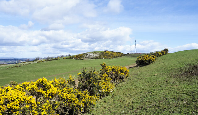
The summit of Burden Hill offers breathtaking panoramic views of the surrounding countryside, with its slopes covered in heather and grasses. Walking enthusiasts and hikers are drawn to this picturesque location, as it provides an excellent opportunity to explore the natural beauty of Perthshire.

Access to Burden Hill is generally straightforward, with several well-marked trails leading to the summit. These trails vary in difficulty, catering to both experienced hikers and beginners looking for a more leisurely walk. The ascent to the top is moderately challenging, but the effort is rewarded by the stunning vistas that await.

Wildlife is abundant in the region, with several species of birds, including ptarmigans and peregrine falcons, frequently spotted in the area. The hill is also home to various mammals, such as red deer and mountain hares, adding to the biodiversity of the region.

Overall, Burden Hill is a natural gem in Perthshire, offering visitors the chance to immerse themselves in the tranquility of the Scottish countryside. Whether it be for a challenging hike or a leisurely stroll, this hill provides a memorable experience for outdoor enthusiasts and nature lovers alike.

If you have any feedback on the listing, please let us know in the comments section below.
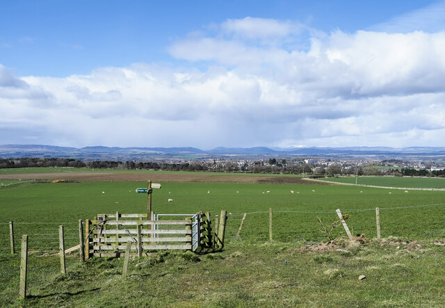
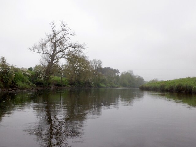
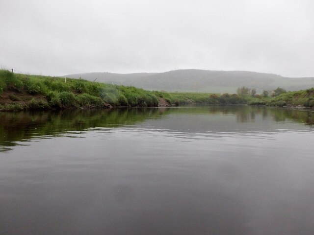
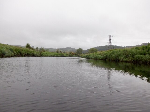
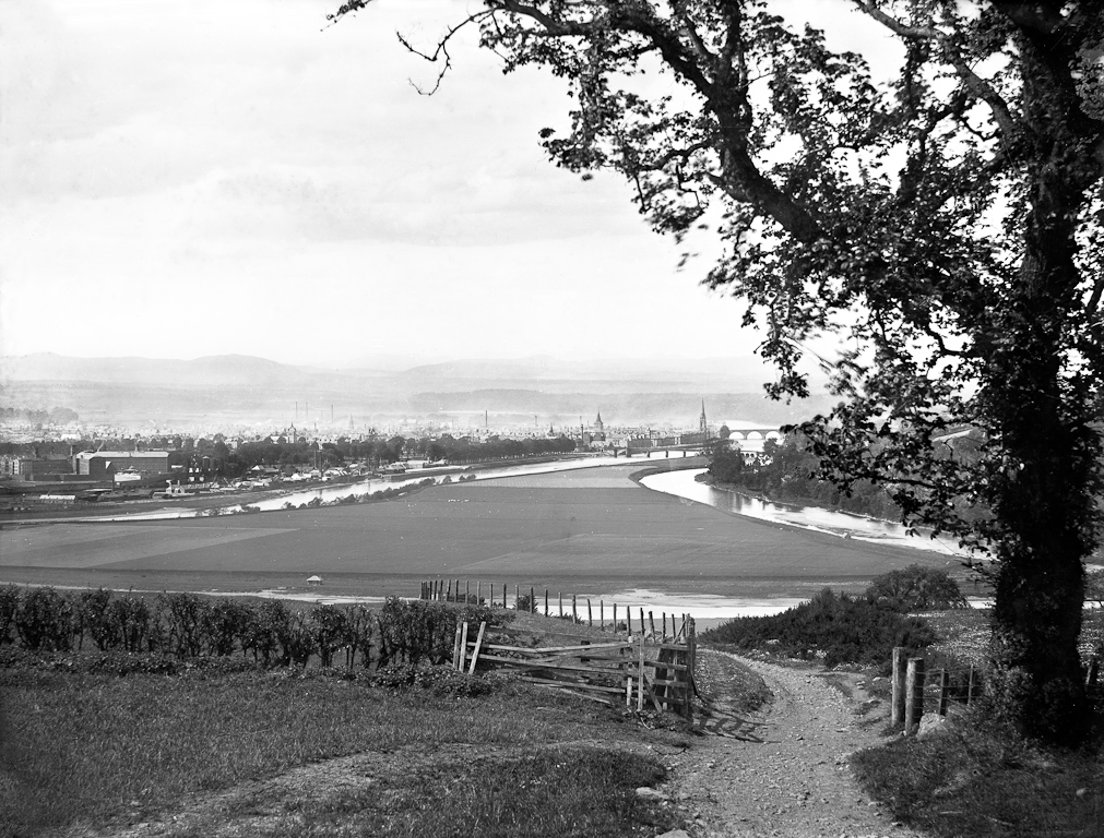
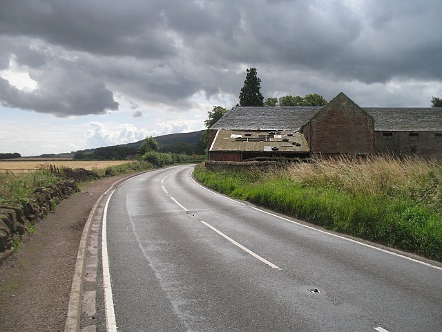
Burden Hill Images

Images are sourced within 2km of 56.370176/-3.4320712 or Grid Reference NO1120. Thanks to Geograph Open Source API. All images are credited.

Footpaths and signpost on north side of Mailer Hill The signpost indicates three separate routes developed in the area as 'core paths'. Buildings in the city of Perth are in the distance.
Footpaths and signpost on north side of Mailer Hill
The signpost indicates three separate routes developed in the area as 'core paths'. Buildings in the city of Perth are in the distance.
Gorse bushes west of Mailer Hill The bushes lie along the ridge of Mailer Hill, west of its summit which is at a trig point at the centre of the image.
Gorse bushes west of Mailer Hill
The bushes lie along the ridge of Mailer Hill, west of its summit which is at a trig point at the centre of the image.
River Earn, Freeland Farm Upstream view.
River Earn, Freeland Farm
Upstream view.
River Earn Passing the Kirkton Pouch, once almost an island due to meandering. There is a large oxbow lake nearby
River Earn
Passing the Kirkton Pouch, once almost an island due to meandering. There is a large oxbow lake nearby
Simmental cattle, Hilton On the river left bank of the Earn.
Simmental cattle, Hilton
On the river left bank of the Earn.
Hilton Viaduct A rather battered and old looking railway bridge (the line was closed to passengers in 1955, reopening in the 1970s to provide a route between the Forth Bridge and Perth via Ladybank)
Hilton Viaduct
A rather battered and old looking railway bridge (the line was closed to passengers in 1955, reopening in the 1970s to provide a route between the Forth Bridge and Perth via Ladybank)
River Earn, Hilton Another big meander.
River Earn, Hilton
Another big meander.
River Earn, Eastfield There is a narrow strip of land between the river and the Perth to Ladybank railway.
River Earn, Eastfield
There is a narrow strip of land between the river and the Perth to Ladybank railway.
River Earn, Eastfield Outside of a meander with the bank being eroded.
River Earn, Eastfield
Outside of a meander with the bank being eroded.
River Earn, Eastfield
River Earn, Eastfield Near Bridge of Earn and noticeably tidal.
River Earn, Eastfield
Near Bridge of Earn and noticeably tidal.
River Earn, Hilton Tidal section of the Earn, upstream of Bridge of Earn.
River Earn, Hilton
Tidal section of the Earn, upstream of Bridge of Earn.
River Earn, Hilton Tidal section of the Earn, upstream of Bridge of Earn.
River Earn, Hilton
Tidal section of the Earn, upstream of Bridge of Earn.
Horsemill near Bridge of Earn
A912 north of Bridge of Earn The A912 heading for Perth from Bridge of Earn near Horsemill.
A912 north of Bridge of Earn
The A912 heading for Perth from Bridge of Earn near Horsemill.
Woodhead of Mailer Looking southeast from Woodhead of Mailer across grazing land, with fallen tree in the foreground and Earn valley in the distance.
Woodhead of Mailer
Looking southeast from Woodhead of Mailer across grazing land, with fallen tree in the foreground and Earn valley in the distance.
Whins, Mailer Hill View across grassland and whins towards Woodhead of Mailer.
Whins, Mailer Hill
View across grassland and whins towards Woodhead of Mailer.
Farmland near Mailer The image shows agricultural land in Strathearn. The circle of trees visible in the distance is situated on the banks of oxbow lake which marks a past course of the River Earn.
Farmland near Mailer
The image shows agricultural land in Strathearn. The circle of trees visible in the distance is situated on the banks of oxbow lake which marks a past course of the River Earn.
Show me another place!

Burden Hill is located at Grid Ref: NO1120 (Lat: 56.370176, Lng: -3.4320712)

Unitary Authority: Perth and Kinross

Police Authority: Tayside

What 3 Words

///whips.polygraph.activates. Near Perth, Perth & Kinross

Nearby Locations

Craigend Burden Hill

Related Wikis

Craigclowan Preparatory School

Craigclowan School & Nursery is a private day preparatory school for boys and girls aged 3 to 13 in Perth, Scotland. == History == Craigclowan School and...

HM Prison Friarton

HM Prison Friarton (later Friarton Detention Centre, Friarton Borstal and Friarton Hall Young Offenders Institution) was a place of detention for young...

Moncreiffe Island

Moncreiffe Island, also known as Friarton Island, is an island in Perth, Scotland. It divides the River Tay into two channels as it flows through Perth...

A912 road

The A912 is a major road in both Perth and Kinross and Fife, Scotland. It runs from the A9 in Perth, in the north, to the A92 at Muirhead, in the south...

Nearby Amenities

Located within 500m of 56.370176,-3.4320712
Motorway Junction
Craigend Interchange
Ref: 10
Lat/Long: 56.3693671/-3.4343207
Material: wood
Power: pole
Lat/Long: 56.370773/-3.4304625
Material: wood
Power: pole
Lat/Long: 56.3691442/-3.4312416
Material: wood
Power: pole
Lat/Long: 56.3671386/-3.4318049
Material: wood
Power: pole
Lat/Long: 56.3720093/-3.4300144
Material: wood
Power: pole
Lat/Long: 56.3702202/-3.4307195
Power: pole
Lat/Long: 56.3725872/-3.4297977
Material: wood
Power: pole
Lat/Long: 56.3713754/-3.4302382
Material: wood
Power: pole
Lat/Long: 56.3696548/-3.4309959
Material: wood
Power: pole
Lat/Long: 56.3681964/-3.4315771
Material: wood
Power: pole
Lat/Long: 56.3677519/-3.431679
Power: pole
Lat/Long: 56.3733645/-3.4294722
Material: wood
Power: pole
Lat/Long: 56.369031/-3.4313028
Craigend
Place: hamlet
Lat/Long: 56.3664452/-3.4312561
Material: wood
Power: pole
Lat/Long: 56.3716171/-3.4383206
Material: wood
Power: pole
Lat/Long: 56.3711623/-3.4370285
Material: wood
Power: pole
Lat/Long: 56.3707347/-3.4357666
Material: wood
Power: pole
Lat/Long: 56.3702319/-3.4343766
Power: pole
Lat/Long: 56.3694287/-3.4320071
Friarton Hill
Natural: peak
Lat/Long: 56.3723358/-3.4333359
Generator Method: photovoltaic
Generator Output Electricity: yes
Generator Source: solar
Generator Type: solar_photovoltaic_panel
Power: generator
Lat/Long: 56.3667996/-3.4319957
Material: wood
Power: pole
Lat/Long: 56.3658417/-3.4302492
Material: wood
Power: pole
Lat/Long: 56.3663329/-3.4294658
Material: wood
Power: pole
Lat/Long: 56.3665108/-3.431938
The data included in this document is from www.openstreetmap.org. The data is made available under ODbL.

Have you been to Burden Hill?

Leave your review of Burden Hill below (or comments, questions and feedback).