Nan Hill
Hill, Mountain in Cumberland Copeland
England
Nan Hill
The requested URL returned error: 429 Too Many Requests
If you have any feedback on the listing, please let us know in the comments section below.
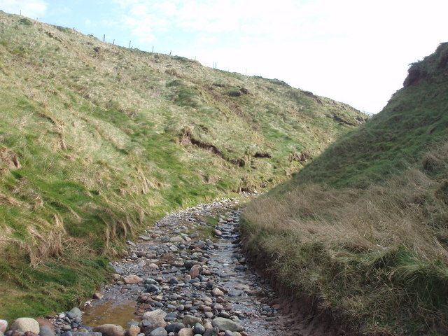
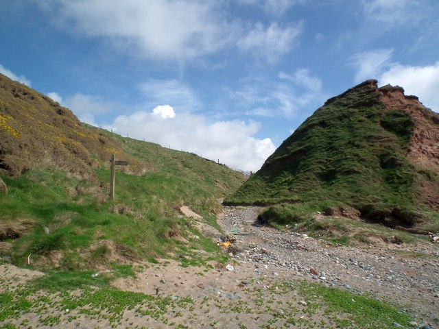
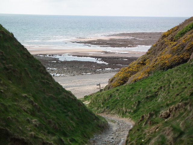
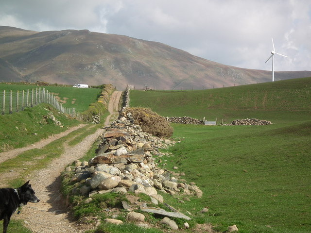
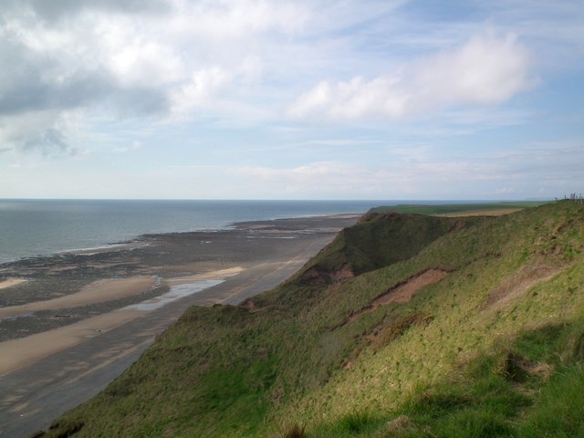
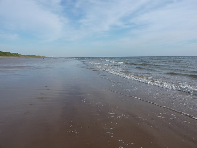
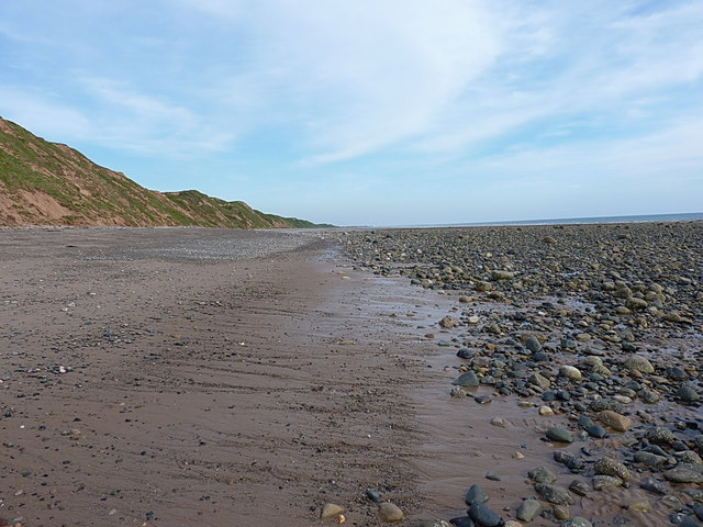
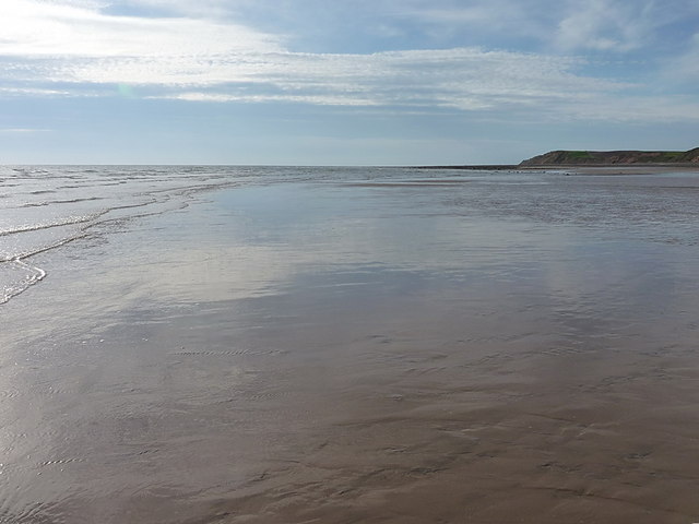
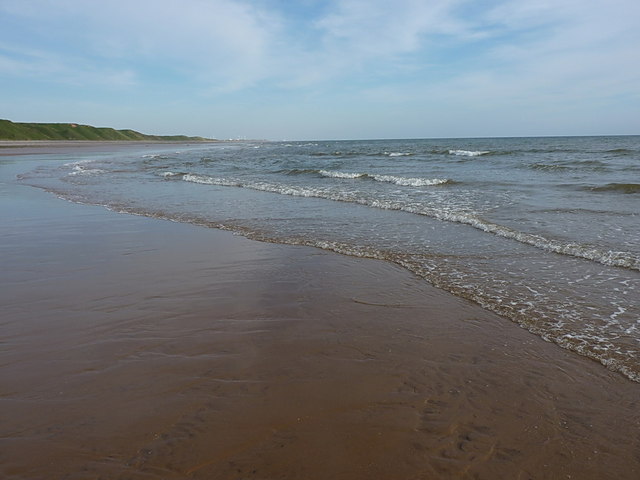
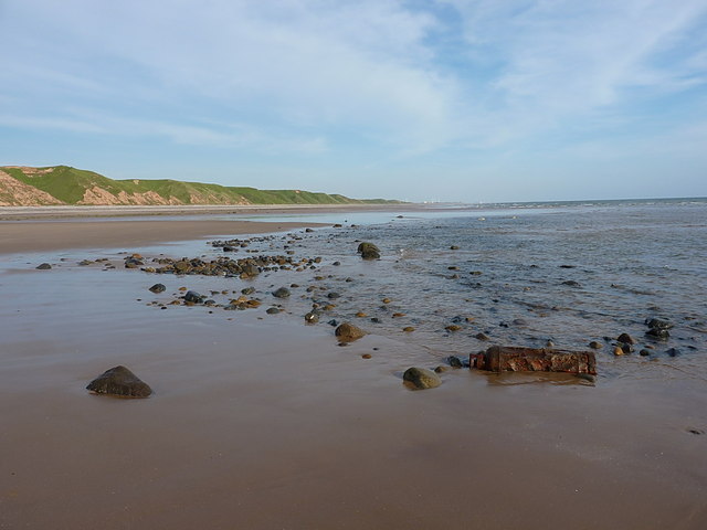
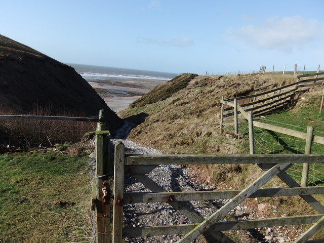
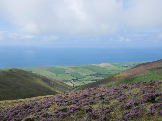
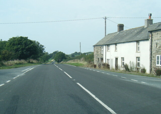
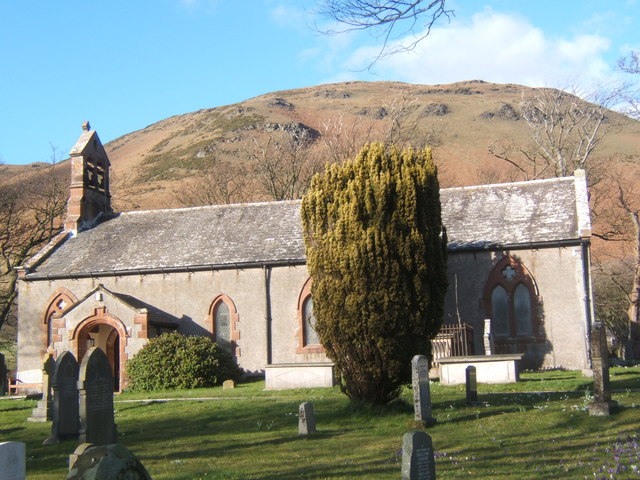
Nan Hill Images
Images are sourced within 2km of 54.240942/-3.3607052 or Grid Reference SD1183. Thanks to Geograph Open Source API. All images are credited.


Nan Hill is located at Grid Ref: SD1183 (Lat: 54.240942, Lng: -3.3607052)
Administrative County: Cumbria
District: Copeland
Police Authority: Cumbria
What 3 Words
///chugging.perform.bookshop. Near Haverigg, Cumbria
Nearby Locations
Related Wikis

Whitbeck, Cumbria
Whitbeck is a hamlet and former civil parish, now in the parish of Whicham, in the Copeland district, in the county of Cumbria, England. It was called...
Whicham
Whicham is a hamlet and civil parish in Copeland, Cumbria, England. At the 2011 census the parish had a population of 382. The parish includes the villages...
St Mary's Church, Whicham
St Mary's Church is on the A595 road in Whicham, Cumbria, England. It is an active Anglican parish church in the deanery of Calder, the archdeaconry of...

Silecroft railway station
Silecroft is a railway station on the Cumbrian Coast Line, which runs between Carlisle and Barrow-in-Furness. The station, situated 19 miles (31 km) north...
Nearby Amenities
Located within 500m of 54.240942,-3.3607052Have you been to Nan Hill?
Leave your review of Nan Hill below (or comments, questions and feedback).