Cnocan Conachreag

Hill, Mountain in Caithness

Scotland

Cnocan Conachreag

Leathad Glas A green oasis in the blanket bog, created by mineral springs, gives this place its name - Leathad Glas (green slope).
Leathad Glas Credit: david glass

The requested URL returned error: 429 Too Many Requests

If you have any feedback on the listing, please let us know in the comments section below.

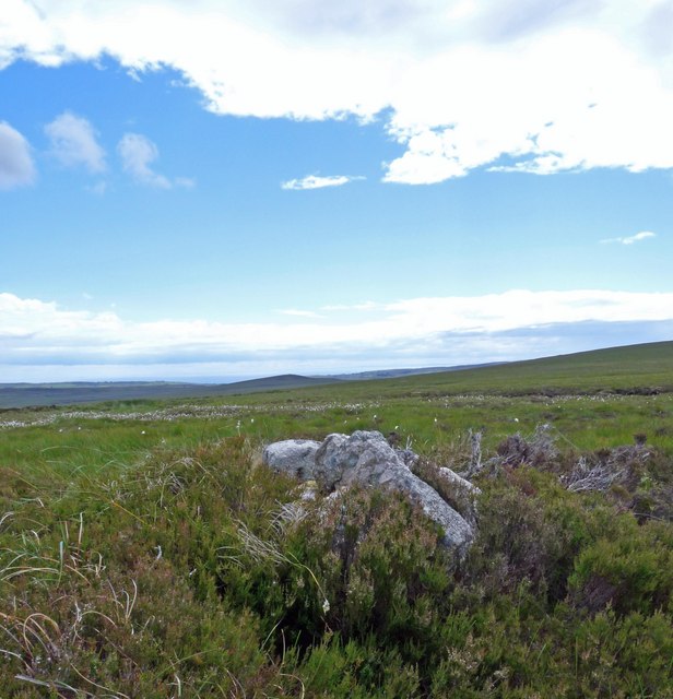
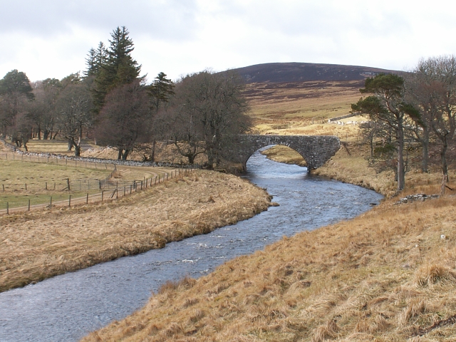
Cnocan Conachreag Images

Images are sourced within 2km of 58.310444/-3.5135213 or Grid Reference ND1136. Thanks to Geograph Open Source API. All images are credited.

Leathad Glas A green oasis in the blanket bog, created by mineral springs, gives this place its name - Leathad Glas (green slope).
Leathad Glas
A green oasis in the blanket bog, created by mineral springs, gives this place its name - Leathad Glas (green slope).
Blanket Bog An expanse of blanket bog in the Caithness Peatlands south of Thulachan.
Blanket Bog
An expanse of blanket bog in the Caithness Peatlands south of Thulachan.
Cnocan Conachreag A moist June day. Ben Alisky in the background.
Cnocan Conachreag
A moist June day. Ben Alisky in the background.
Cnocan Conachreag summit A remote hill north-west of Dunbeath on the A9. The ascent is probably as dull as the summit. The only slight point of interest is the Houstry Wind Farm, distant but straight ahead.
Cnocan Conachreag summit
A remote hill north-west of Dunbeath on the A9. The ascent is probably as dull as the summit. The only slight point of interest is the Houstry Wind Farm, distant but straight ahead.
Lochans below Caplaich Hill, Caithness Morven can be seen in the far distance.
Lochans below Caplaich Hill, Caithness
Morven can be seen in the far distance.
Bog below Cnocan Conachreag, Caithness
The Allt Bad an t-Searraich
Fence below Caplaich Hill The fence doesn't show on the current (as viewed on Get-a-map 15/06/10) OS 1:25,000 map.
Fence below Caplaich Hill
The fence doesn't show on the current (as viewed on Get-a-map 15/06/10) OS 1:25,000 map.
Cnocan Conachreag This rocky face lies on the western side of the hill.  The rest of the hill comprises gentle grassy slopes.
Cnocan Conachreag
This rocky face lies on the western side of the hill. The rest of the hill comprises gentle grassy slopes.
Triangulation pillar, Cnocan Conachreag Looking southwest towards Morven.
Triangulation pillar, Cnocan Conachreag
Looking southwest towards Morven.
Cairn, Cnocan Conachreag Looking north-northwest towards Loch Sand.
The cairn lies some 150m to the north-northwest of the triangulation pillar at the summit of the hill.
Cairn, Cnocan Conachreag
Looking north-northwest towards Loch Sand. The cairn lies some 150m to the north-northwest of the triangulation pillar at the summit of the hill.
Source of a tributary of the Allt Bad an t-Searraich Looking east-southeast over the summit of Cnoc an t-Searraich towards Buolfruich windfarm.
Source of a tributary of the Allt Bad an t-Searraich
Looking east-southeast over the summit of Cnoc an t-Searraich towards Buolfruich windfarm.
Cairn, Cnoc an t-Searraich The cairn is approximately 375m to the north-northeast of the summit of the hill.
It can't be seen in the photo, but the similar <a href="https://www.geograph.org.uk/photo/1918851">ND1136 : Cairn, Cnocan Conachreag</a> is located in the centre of the horizon.
Cairn, Cnoc an t-Searraich
The cairn is approximately 375m to the north-northeast of the summit of the hill. It can't be seen in the photo, but the similar ND1136 : Cairn, Cnocan Conachreag is located in the centre of the horizon.
Shieling by the Burn of Houstry This is one of a group of thirteen shieling huts (ref <span class="nowrap"><a title="http://canmore.rcahms.gov.uk/en/site/8120/details/burn+of+houstry" rel="nofollow ugc noopener" href="http://canmore.rcahms.gov.uk/en/site/8120/details/burn+of+houstry">Link</a><img style="margin-left:2px;" alt="External link" title="External link - shift click to open in new window" src="https://s1.geograph.org.uk/img/external.png" width="10" height="10"/></span> ).
Shieling by the Burn of Houstry
This is one of a group of thirteen shieling huts (ref LinkExternal link ).
Longhouse, Cnocan Conachreag The longhouse is approximately 30 x 4m and was possibly divided into six compartments (ref <span class="nowrap"><a title="http://canmore.rcahms.gov.uk/en/site/8118/details/cnocan+conachreag" rel="nofollow ugc noopener" href="http://canmore.rcahms.gov.uk/en/site/8118/details/cnocan+conachreag">Link</a><img style="margin-left:2px;" alt="External link" title="External link - shift click to open in new window" src="https://s1.geograph.org.uk/img/external.png" width="10" height="10"/></span> ).
Longhouse, Cnocan Conachreag
The longhouse is approximately 30 x 4m and was possibly divided into six compartments (ref LinkExternal link ).
Sheepfold below Cnocan Conachreag Looking south-southwest towards Scaraben and Maiden Pap.
Sheepfold below Cnocan Conachreag
Looking south-southwest towards Scaraben and Maiden Pap.
Fence below Cnocan Conachreag Looking southwest towards Scaraben, Maiden Pap and Morven.
Fence below Cnocan Conachreag
Looking southwest towards Scaraben, Maiden Pap and Morven.
Cairn below Cnocan Conachreag Looking southeast towards the coast at Dunbeath.
Cairn below Cnocan Conachreag
Looking southeast towards the coast at Dunbeath.
Show me another place!

Cnocan Conachreag is located at Grid Ref: ND1136 (Lat: 58.310444, Lng: -3.5135213)

Unitary Authority: Highland

Police Authority: Highlands and Islands

What 3 Words

///spin.then.procured. Near Dunbeath, Highland

Nearby Locations

Cnocan Conachreag

Related Wikis

Houstry

Houstry is a scattered crofting village, in the east coast of Dunbeath, Caithness, Scottish Highlands and is in the Scottish council area of Highland.A...

Landhallow

Landhallow is a small village, approximately 1 mile west of Latheron in eastern Caithness, Scottish Highlands and is in the Scottish council area of...

Smerral

Smerral is a small hamlet on the eastern coast of Caithness, Scottish Highlands and is in the Scottish council area of Highland. It lies 1 mile (1.6 km...

Braemore

Braemore (Scottish Gaelic: Am Bràigh Mòr) is a location in Berriedale in the Highland council area of Scotland. It can be approached from the A9 road at...

Have you been to Cnocan Conachreag?

Leave your review of Cnocan Conachreag below (or comments, questions and feedback).