Temple Hill

Hill, Mountain in Kinross-shire

Scotland

Temple Hill

Sheep, Langside
Sheep, Langside Credit: Richard Webb

The requested URL returned error: 429 Too Many Requests

If you have any feedback on the listing, please let us know in the comments section below.
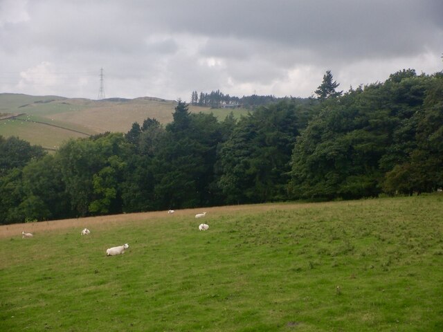
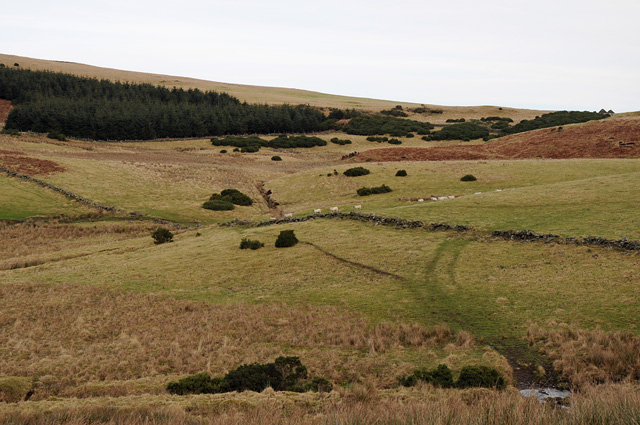
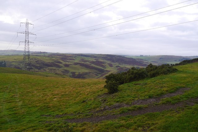
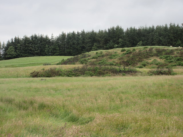
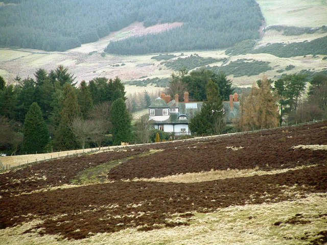
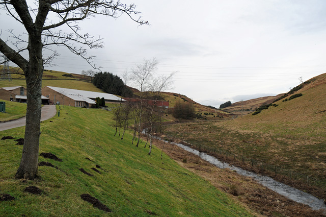
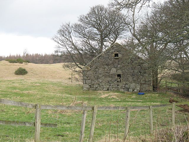
Temple Hill Images

Images are sourced within 2km of 56.27093/-3.4431842 or Grid Reference NO1009. Thanks to Geograph Open Source API. All images are credited.

Sheep, Langside
Sheep, Langside
Newly planted woodland, Springhill
Farmland with sheep
Farmland with sheep
Glenfarg Reservoir
Glenfarg Reservoir
Glenfarg Reservoir
Glenfarg Reservoir
Road approaching Shire End House Looking south-eastward.
Road approaching Shire End House
Looking south-eastward.
Power line, Glen Farg The reservoir is hidden in the deep glen.
Power line, Glen Farg
The reservoir is hidden in the deep glen.
Gorse and bracken covered hillock Hillock near Arlick Hill, viewed from the west.
Gorse and bracken covered hillock
Hillock near Arlick Hill, viewed from the west.
Burnt gorse Patch of burnt gorse viewed from the roadside near Shire End.
Burnt gorse
Patch of burnt gorse viewed from the roadside near Shire End.
Active sheepfold at Middle Deuglie
Minor road east of Glenfarg Reservoir
Ochil Pylons Following the pylons South at the Eastern edge of the Ochil Hills, above Glenfarg Reservoir
Ochil Pylons
Following the pylons South at the Eastern edge of the Ochil Hills, above Glenfarg Reservoir
Cloverlea Looking North West to Cloverlea, a house in a branch valley of the Slateford Burn.
Cloverlea
Looking North West to Cloverlea, a house in a branch valley of the Slateford Burn.
Carleith Hill Looking North towards Carleith Hill with Shire End House on left in the distance.
Carleith Hill
Looking North towards Carleith Hill with Shire End House on left in the distance.
Shire End House Shire End House <a href="https://www.geograph.org.uk/gridref/NO094094">NO094094</a> amongst shelter belts of trees. Looking North from lower slope of Carleith Hill
Shire End House
Shire End House NO094094 amongst shelter belts of trees. Looking North from lower slope of Carleith Hill
Glenfarg Water Treatment Works and River Farg
Stone byre, Abbots Deuglie Substantial ruin.
Stone byre, Abbots Deuglie
Substantial ruin.
Hill top pasture, Glenfarg Typical plateau land on the eastern, lower part of the Ochils. Used for grazing sheep and cattle. It is partly protected by a shelterbelt.
Hill top pasture, Glenfarg
Typical plateau land on the eastern, lower part of the Ochils. Used for grazing sheep and cattle. It is partly protected by a shelterbelt.
Show me another place!

Temple Hill is located at Grid Ref: NO1009 (Lat: 56.27093, Lng: -3.4431842)

Unitary Authority: Perth and Kinross

Police Authority: Tayside

What 3 Words

///panicking.pothole.moral. Near Milnathort, Perth & Kinross

Nearby Locations

Temple Hill

Related Wikis

Abbots Deuglie

Abbots Deuglie () is a hamlet in Perth and Kinross, Scotland. It is located in the Ochil Hills, in Arngask parish, about one mile (1.5 km) west of Glenfarg...

Glenfarg

Glenfarg (Scottish Gaelic: Gleann Fairg) is a village in the Ochil Hills in Perth and Kinross, Scotland. Until 14 June 1964, the village had a railway...

Duncrievie

Duncrievie () is a village in Perth and Kinross, Scotland. It lies approximately 6 miles (10 kilometres) north of Kinross, to the west of the M90 motorway...

Fothriff

Fothriff or Fothrif was a province of Scotland in the Middle Ages. It is often paired with Fife, not only in De Situ Albanie, but also in early charters...

Have you been to Temple Hill?

Leave your review of Temple Hill below (or comments, questions and feedback).