Lowries Hill
Hill, Mountain in Dumfriesshire
Scotland
Lowries Hill
Lowries Hill is a prominent hill located in the region of Dumfriesshire, Scotland. It is situated in the southern part of the country, near the town of Moffat. With an elevation of approximately 548 meters (1,798 feet), Lowries Hill is considered a prominent landmark in the area.
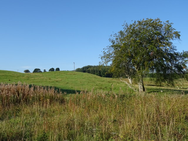
The hill features a distinctive conical shape, with steep slopes covered in heather and grass. Its summit offers breathtaking panoramic views of the surrounding countryside, including the Moffat Hills and the rolling hills of Dumfriesshire. On a clear day, it is even possible to catch a glimpse of the Solway Firth and the Lake District in England.
Lowries Hill is a popular destination for outdoor enthusiasts, particularly hikers and hillwalkers. There are several well-marked trails that lead to the summit, offering varying levels of difficulty. Along the way, visitors can enjoy the diverse flora and fauna that inhabit the hill, including wildflowers, birds, and small mammals.
The hill is also of historical significance, as it is believed to have been a site of activity during the Bronze Age. Archaeological excavations have uncovered remnants of ancient settlements, including stone tools and pottery fragments.
Overall, Lowries Hill in Dumfriesshire is a stunning natural landmark that offers both recreational and historical value. Whether one is seeking a challenging hike or simply a picturesque spot to enjoy the Scottish countryside, Lowries Hill is a must-visit destination.
If you have any feedback on the listing, please let us know in the comments section below.
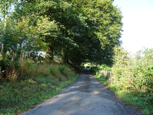
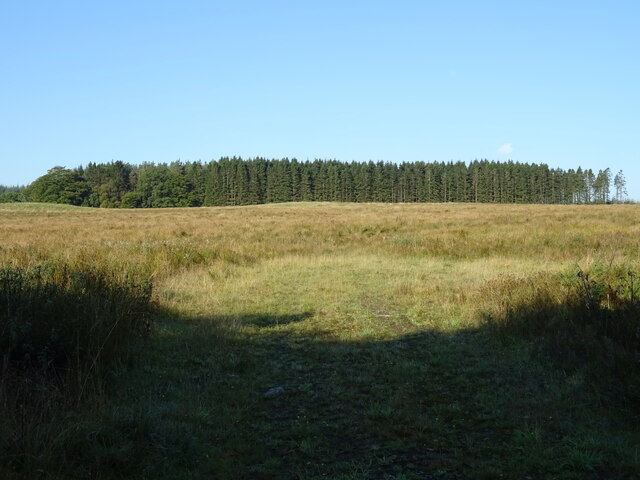
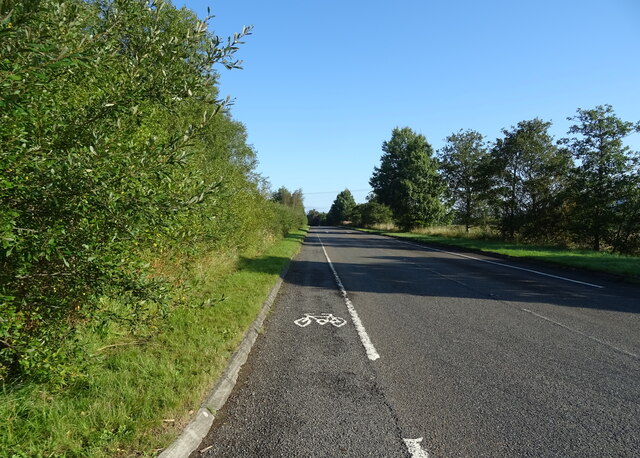
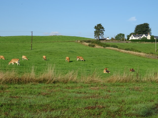
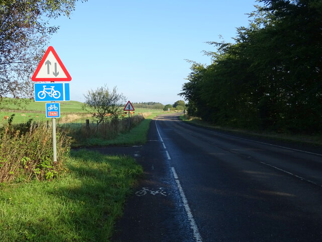
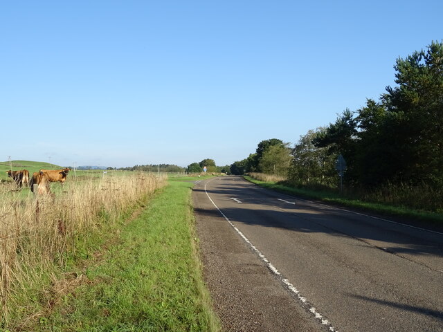
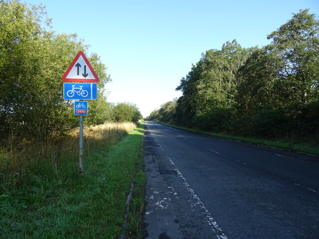
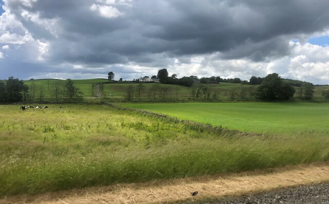
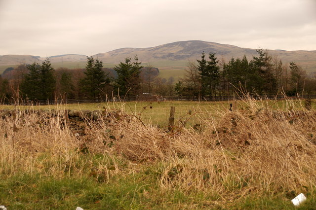
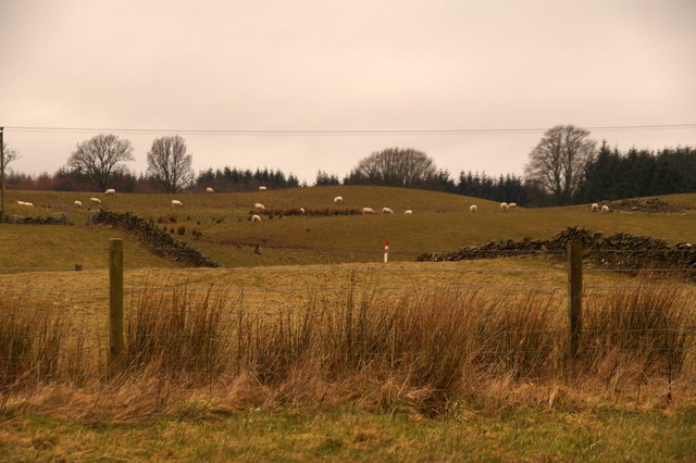
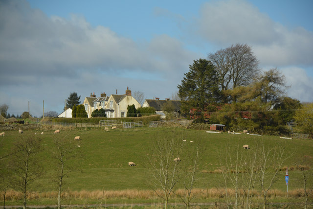
Lowries Hill Images
Images are sourced within 2km of 55.271996/-3.4069027 or Grid Reference NY1098. Thanks to Geograph Open Source API. All images are credited.


Lowries Hill is located at Grid Ref: NY1098 (Lat: 55.271996, Lng: -3.4069027)
Unitary Authority: Dumfries and Galloway
Police Authority: Dumfries and Galloway
What 3 Words
///professes.wobbles.easily. Near Beattock, Dumfries & Galloway
Nearby Locations
Related Wikis

Lochwood Tower
Lochwood Tower, also known as Lochwood Castle, is a ruined 16th-century L-plan tower house situated in Annandale (Valley of the River Annan) about 6 miles...

Wamphray railway station
Wamphray railway station served Newton Wamphray, near Beattock, in the Scottish county of Dumfries and Galloway. It was served by local trains on what...

Kirkpatrick-Juxta
Kirkpatrick-Juxta is a parish in Dumfries and Galloway on the A701, between Biggar, Moffat and Lockerbie. The parish straddles the main road A74 (M). It...

Newton Wamphray
Newton Wamphray is a village in Dumfries and Galloway. Wamphray is the name of the surrounding parish and of the Wamphray Water, which flows south-west...
Nearby Amenities
Located within 500m of 55.271996,-3.4069027Have you been to Lowries Hill?
Leave your review of Lowries Hill below (or comments, questions and feedback).