Corstane Hill
Hill, Mountain in Peeblesshire
Scotland
Corstane Hill
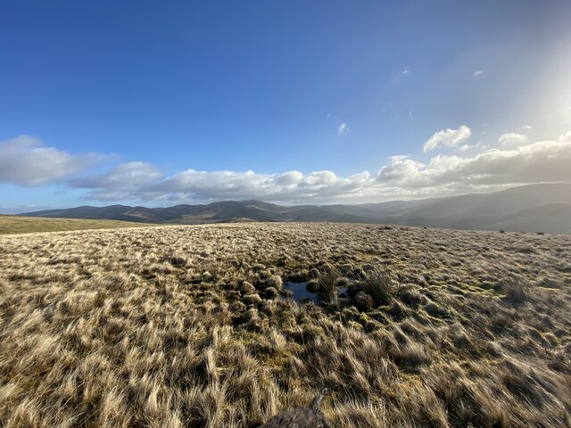
Corstane Hill is a prominent hill located in the county of Peeblesshire, Scotland. Standing at an elevation of approximately 364 meters (1,194 feet), it offers stunning panoramic views of the surrounding countryside.
Situated about 4 kilometers southwest of the town of Peebles, Corstane Hill is easily accessible and attracts both locals and tourists alike. Its distinctive conical shape and lush greenery make it a popular spot for outdoor enthusiasts and nature lovers.
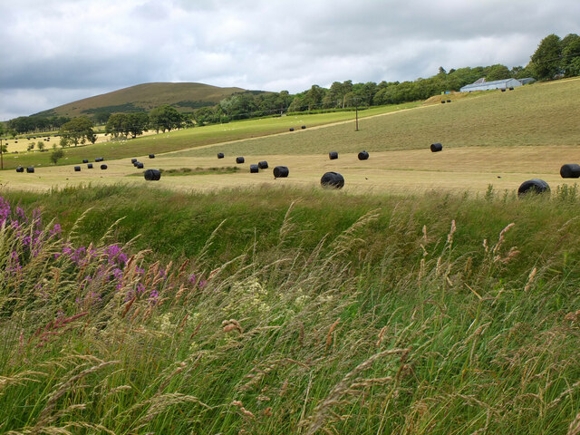
The hill is part of the Pentland Hills range and is characterized by its gentle slopes and undulating terrain. It is covered in a variety of vegetation, including grasses, heather, and scattered trees. These natural features provide habitat for a diverse array of wildlife, such as birds, rabbits, and deer.
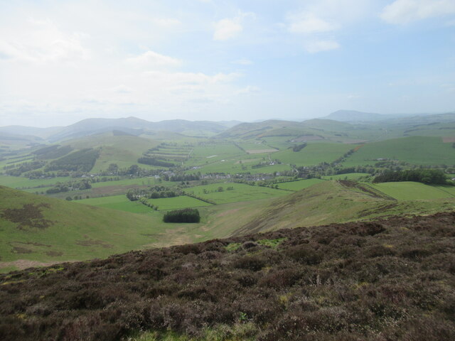
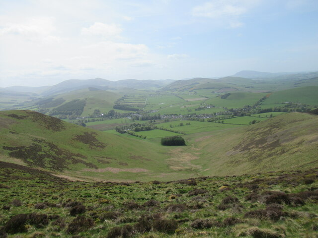
There are several walking trails that lead to the summit of Corstane Hill, catering to different levels of fitness and hiking experience. Along the way, visitors can enjoy the tranquil beauty of the Scottish countryside and may even spot some of the local wildlife. The summit offers breathtaking views of the rolling hills, picturesque valleys, and distant mountains.
Corstane Hill is a great destination for outdoor activities, such as hiking, picnicking, and birdwatching. Its accessibility, natural beauty, and panoramic vistas make it a must-visit location for anyone exploring the Peeblesshire region in Scotland.
If you have any feedback on the listing, please let us know in the comments section below.
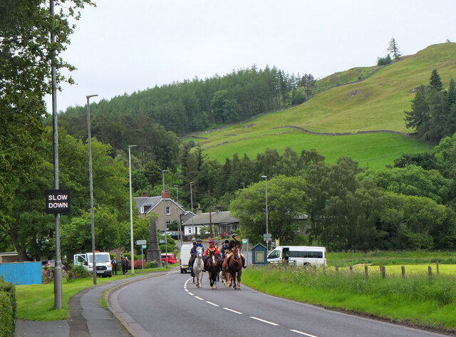
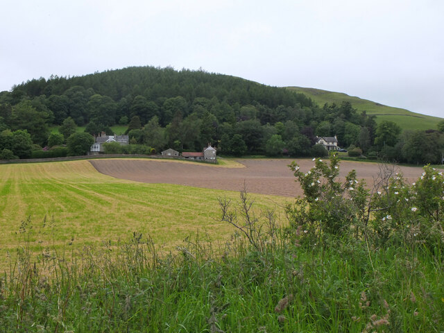
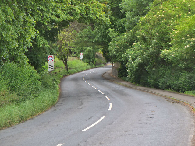
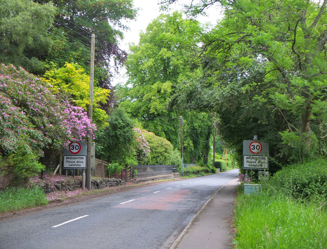
Corstane Hill Images
Images are sourced within 2km of 55.615305/-3.4233818 or Grid Reference NT1036. Thanks to Geograph Open Source API. All images are credited.


Corstane Hill is located at Grid Ref: NT1036 (Lat: 55.615305, Lng: -3.4233818)
Unitary Authority: The Scottish Borders
Police Authority: The Lothians and Scottish Borders
What 3 Words
///shoulders.lime.safety. Near Biggar, South Lanarkshire
Nearby Locations
Related Wikis
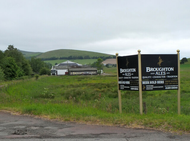
Broughton, Scottish Borders
Broughton is a village in Tweeddale in the historical county of Peeblesshire in the Scottish Borders council area, in the south of Scotland, in the civil parish of Broughton, Glenholm and Kilbucho and Upper Tweed Community Council. Broughton is on the Biggar Water, near where it flows into the River Tweed. It is about 7 km east of Biggar, and 15 km west of Peebles.

Broughton railway station (Scotland)
Broughton railway station served the village of Broughton, Scottish Borders, Scotland from 1860 to 1950 on the Symington, Biggar and Broughton Railway and Talla Railway. == History == The first site of the station opened on 6 November 1860 by the Symington, Biggar and Broughton Railway. It wasn't intended to be open for long due to the extension of the line being planned.
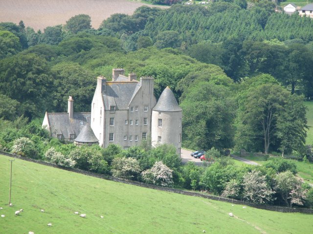
Broughton Place, Scottish Borders
Broughton Place is a historic house in the village of Broughton, Scottish Borders. It was designed by Basil Spence in the style of a 17th-century Scottish Baronial tower house. == History == In 1935, professor Thomas Renton Elliott, and his wife commissioned the Edinburgh architectural practice of Rowand Anderson, Paul & Partners to build the house.

Broughton, Glenholm and Kilbucho
Broughton, Glenholm and Kilbucho is a parish in Peeblesshire in the Scottish Borders, 11 miles south-west of Peebles, lying in the upper part of the valley of the River Tweed in the Southern Uplands. It is a union of three former parishes of bearing these names and the united parish is bound by Kirkurd on the north, Stobo on the east, Drumelzier on the south-east, Culter and Biggar, South Lanarkshire on the west and by Skirling in the north-west. For 4½ miles the eastern border of the parish follows the northward flowing Tweed.
Kilbucho
Kilbucho (Scottish Gaelic: Cille Bheagha) is a small settlement in the parish of Broughton, Glenholm and Kilbucho in the Scottish Borders area of Scotland in Peeblesshire and near Biggar and Broughton. The name derives from the church which was dedicated to St Bega an Irish abbess. Several monasteries were dedicated to St Bega, many in Cumbria including St Bees but also in Scotland at Kilbagie in Clackmannanshire and Kilbegie in Argyllshire.

Holms Water
The Holms Water is a river and a tributary of the Biggar Water, which is a tributary of the River Tweed, in the parish of Broughton, Glenholm and Kilbucho in the Scottish Borders area of Scotland, near Glenkirk, Stanhope, Peeblesshire and Hearthstane.

Biggar Water
Biggar Water is a river in Lanarkshire and Peeblesshire, in the Southern Uplands of Scotland. It forms part of the River Tweed system. It rises, as Biggar Burn, in the north-east of the parish of Biggar, South Lanarkshire and flows about 6+3⁄4 miles (10.9 km) generally south-westerly toward the town of Biggar, where it becomes Biggar Water.

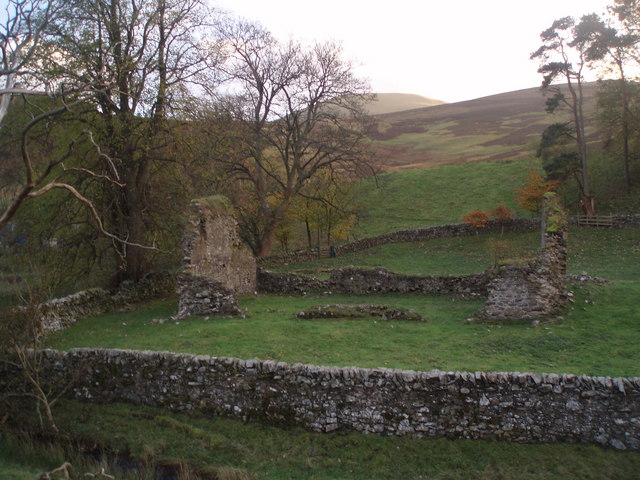
Wrae Tower
Wrae Tower is a ruined 16th-century stone tower house, located in the upper Tweed Valley in the Scottish Borders area of Scotland, and similarly south of the village of Broughton. The ruin is at grid reference NT115332, 3 km south-west of Drumelzier. Only a fragment of the north-east corner stair tower, around 9m high and 4m across, remains standing.
Nearby Amenities
Located within 500m of 55.615305,-3.4233818Have you been to Corstane Hill?
Leave your review of Corstane Hill below (or comments, questions and feedback).