Buckie Braes

Hill, Mountain in Perthshire

Scotland

Buckie Braes

Field alongside the M90 near Broxden
Field alongside the M90 near Broxden Credit: Douglas Nelson

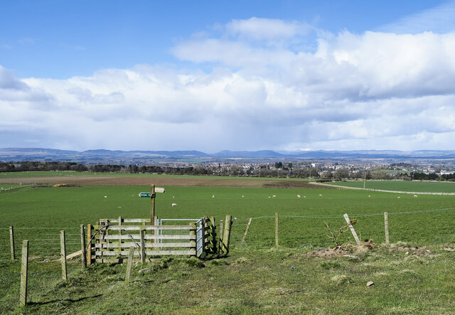
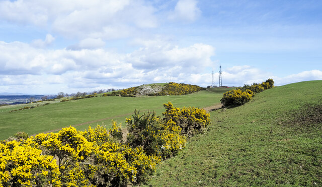
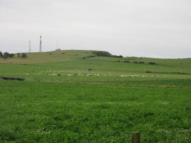
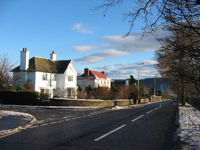
Buckie Braes is a picturesque hill located in Perthshire, Scotland. Situated near the town of Crieff, it offers breathtaking views and a tranquil environment for nature enthusiasts and hikers alike. Standing at a height of approximately 400 meters (1,312 feet), Buckie Braes is not considered a mountain but rather a hill.

Covered in lush green vegetation, the hill is home to a variety of flora and fauna, including heather, wildflowers, and several species of birds and small mammals. Many visitors are drawn to Buckie Braes for its peaceful atmosphere and the opportunity to spot wildlife in its natural habitat.

The hill features well-maintained paths and trails that cater to both beginners and experienced hikers. The main trail is a circular route that takes approximately two hours to complete, offering stunning panoramic views of the surrounding countryside. Along the way, hikers can take in the beauty of the rolling hills, meandering rivers, and distant mountains that make Perthshire renowned for its scenic landscapes.

Buckie Braes is also a popular spot for paragliding and hang gliding due to its favorable wind conditions and open space. Adventurous visitors can take to the skies and experience the thrill of gliding above the hill, taking in the sweeping vistas from a unique perspective.

Whether it's for a leisurely stroll, a challenging hike, or an adrenaline-fueled flight, Buckie Braes offers a memorable outdoor experience for those seeking to immerse themselves in the natural beauty of Perthshire.

If you have any feedback on the listing, please let us know in the comments section below.
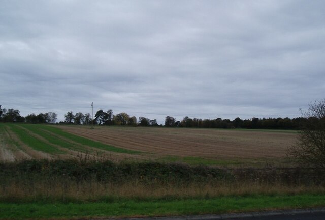
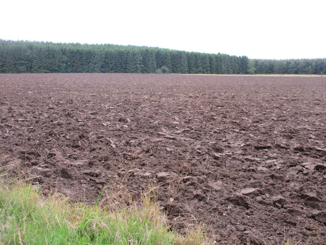
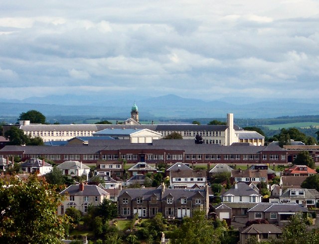
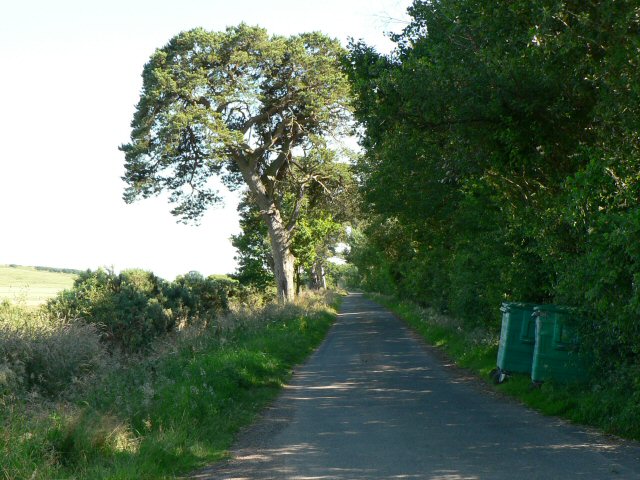
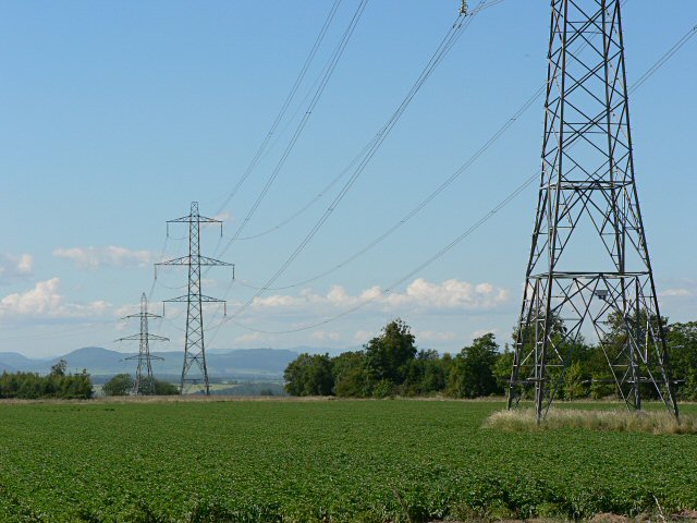
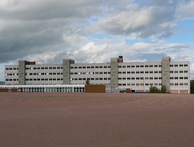
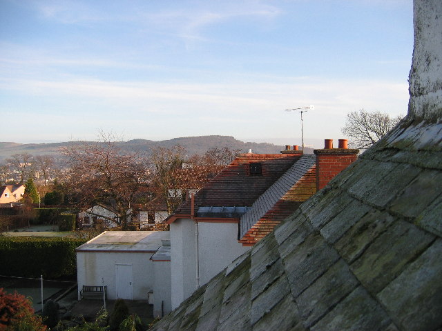
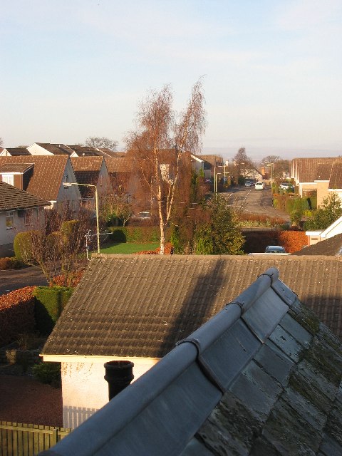
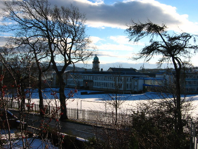
Buckie Braes Images

Images are sourced within 2km of 56.381096/-3.4519475 or Grid Reference NO1021. Thanks to Geograph Open Source API. All images are credited.

Field alongside the M90 near Broxden
Footpaths and signpost on north side of Mailer Hill The signpost indicates three separate routes developed in the area as 'core paths'. Buildings in the city of Perth are in the distance.
Footpaths and signpost on north side of Mailer Hill
The signpost indicates three separate routes developed in the area as 'core paths'. Buildings in the city of Perth are in the distance.
Gorse bushes west of Mailer Hill The bushes lie along the ridge of Mailer Hill, west of its summit which is at a trig point at the centre of the image.
Gorse bushes west of Mailer Hill
The bushes lie along the ridge of Mailer Hill, west of its summit which is at a trig point at the centre of the image.
Livestock under Mailer Hill Cattle and sheep spread out under the north-western flank of Mailer Hill.
Livestock under Mailer Hill
Cattle and sheep spread out under the north-western flank of Mailer Hill.
Ploughed field next to the B9112 Ploughed up field adjacent to the B9112, with Broxden Wood beyond.
Ploughed field next to the B9112
Ploughed up field adjacent to the B9112, with Broxden Wood beyond.
Perth Academy Perth Academy is the white building with the central clock tower. The lower red brick buildings in front are Viewlands Primary School.
Between them they straddle the corners of four squares, but they seem to take up more space on this square than the others. This picture was taken from outside the office buildings at NO098222.
Perth Academy
Perth Academy is the white building with the central clock tower. The lower red brick buildings in front are Viewlands Primary School. Between them they straddle the corners of four squares, but they seem to take up more space on this square than the others. This picture was taken from outside the office buildings at NO098222.
Private road to Woodhead Looking south from junction with B9112.
Private road to Woodhead
Looking south from junction with B9112.
Electricity pylons Looking NNW.
Electricity pylons
Looking NNW.
Perth High School
Perth High School
November sky over Perthshire farmland Looking northeast across a fresh field from just north of Woodhead of Mailer (Southwest of Perth) on a beautiful November day.
November sky over Perthshire farmland
Looking northeast across a fresh field from just north of Woodhead of Mailer (Southwest of Perth) on a beautiful November day.
Woodhead of Mailer Looking southeast from Woodhead of Mailer across grazing land, with fallen tree in the foreground and Earn valley in the distance.
Woodhead of Mailer
Looking southeast from Woodhead of Mailer across grazing land, with fallen tree in the foreground and Earn valley in the distance.
Santa's eye-view of Viewlands, Perth Looking east across Perth towards Kinnoull Hill, Christmas Day 2005
Santa's eye-view of Viewlands, Perth
Looking east across Perth towards Kinnoull Hill, Christmas Day 2005
Athollbank Drive Street in Viewlands, Perth on Christmas Day 2005
Athollbank Drive
Street in Viewlands, Perth on Christmas Day 2005
Perth Academy Viewlands Road and Perth Academy on New Year's Day 2006 at 11.50am. The school straddles four squares, with the clocktower at NO100230 usefully pinpointing the time.
Perth Academy
Viewlands Road and Perth Academy on New Year's Day 2006 at 11.50am. The school straddles four squares, with the clocktower at NO100230 usefully pinpointing the time.
Viewlands Road Beautiful crisp start to 2006 as we head off for a stroll at exactly 12 noon
Viewlands Road
Beautiful crisp start to 2006 as we head off for a stroll at exactly 12 noon
Pitheavlis office building Looking down at the main entrance. The building is stepped into the hillside, with the entrance on the fourth floor. To further blend it into its surroundings in accordance with planning regulations, rooftop gardens were planted (and are still maintained) on the lower floors. The building was completed in June 1983 as the head office of General Accident. The architects were James Parr and Partners of Dundee.

For a close up of the water features next to the entrance see <a href="https://www.geograph.org.uk/photo/532862">NO0922 : Ornamental fish pond</a>
Pitheavlis office building
Looking down at the main entrance. The building is stepped into the hillside, with the entrance on the fourth floor. To further blend it into its surroundings in accordance with planning regulations, rooftop gardens were planted (and are still maintained) on the lower floors. The building was completed in June 1983 as the head office of General Accident. The architects were James Parr and Partners of Dundee. For a close up of the water features next to the entrance see NO0922 : Ornamental fish pond
Pitheavlis roof gardens Looking up the hill at the Pitheavlis office building, with a view of the roof gardens that blend it into the landscape.
Pitheavlis roof gardens
Looking up the hill at the Pitheavlis office building, with a view of the roof gardens that blend it into the landscape.
Training Centre, Pitheavlis This building was originally designed to provide residential training facilities for General Accident. It is no longer needed for this purpose and the lower part of the site is advertised as suitable for redevelopment. 

The playing fields visible over the rooftops belong to Perth Academy.
Training Centre, Pitheavlis
This building was originally designed to provide residential training facilities for General Accident. It is no longer needed for this purpose and the lower part of the site is advertised as suitable for redevelopment. The playing fields visible over the rooftops belong to Perth Academy.
Show me another place!

Buckie Braes is located at Grid Ref: NO1021 (Lat: 56.381096, Lng: -3.4519475)

Unitary Authority: Perth and Kinross

Police Authority: Tayside

What 3 Words

///author.issued.class. Near Perth, Perth & Kinross

Nearby Locations

Buckie Braes

Related Wikis

Cherrybank Gardens

Cherrybank Gardens was a public garden in the southwestern outskirts of the Scottish city of Perth. Originally Bell's Cherrybank Gardens, when it was created...

Pitheavlis Castle

Pitheavlis Castle, located in Perth, Scotland, was built in the late 16th century. Now a Category A listed building, it stands in a residential neighbourhood...

Craigie, Perth, Scotland

Craigie (formerly Craigie Knowes) is a residential area of Perth, Scotland, immediately to the south and southwest of the city centre, beyond the South...

Viewlands House

Viewlands House is an historic building in the Viewlands area immediately to the west of the centre of Perth, Perth and Kinross, Scotland. Located on Viewlands...

St Leonard's Nunnery

St. Leonards Nunnery was a house of Augustininian canonesses at Perth, Scotland, founded in the 13th century. After King Edward I of England's foray in...

Perth railway station (Scotland)

Perth railway station is a railway station located in the city of Perth, Scotland, on both the Glasgow to Dundee line and the Highland Main Line. It is...
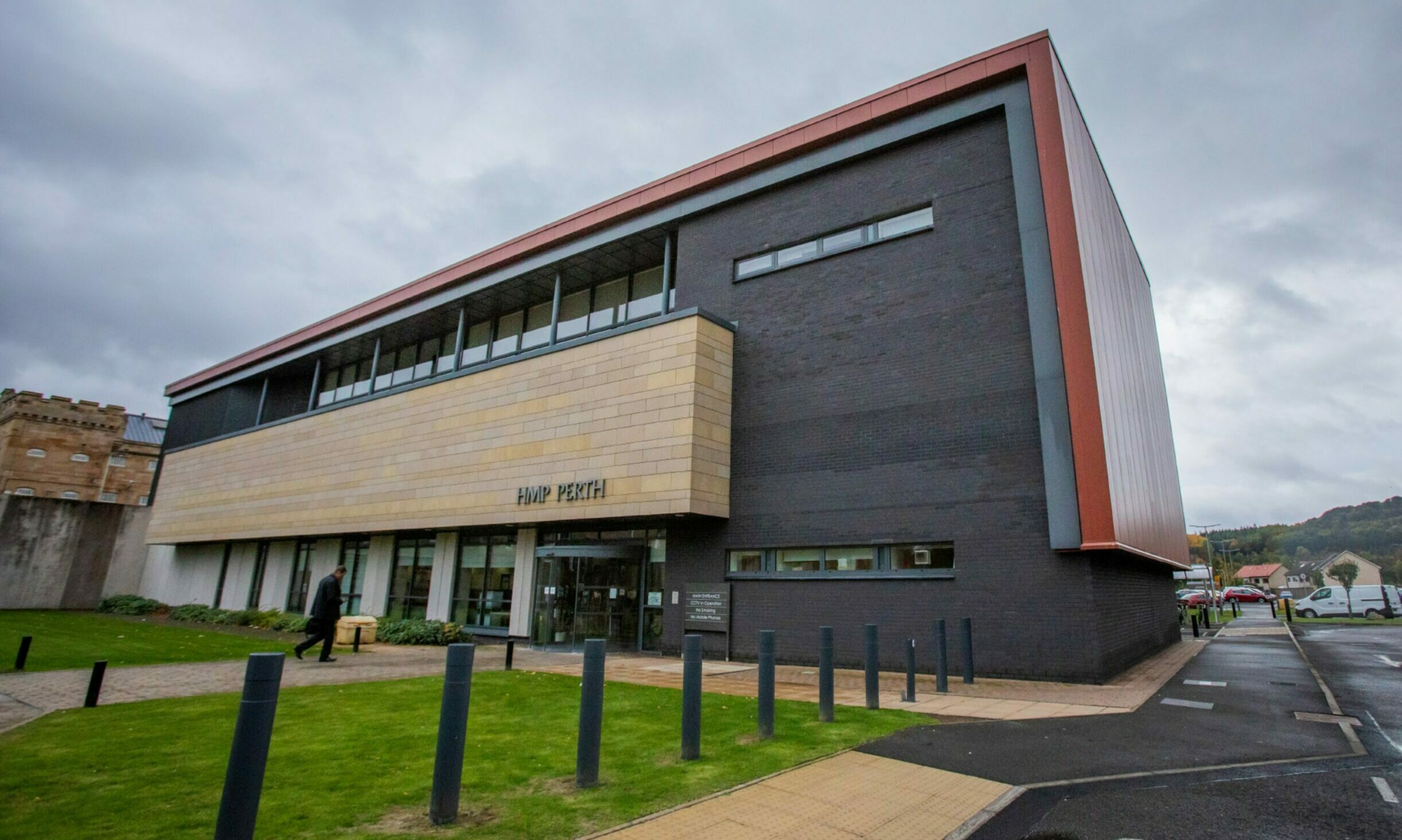
HM Prison Perth

HM Prison Perth is a prison in Perth, Scotland that houses short term adult male prisoners (those prisoners serving under 4 years). It was originally constructed...
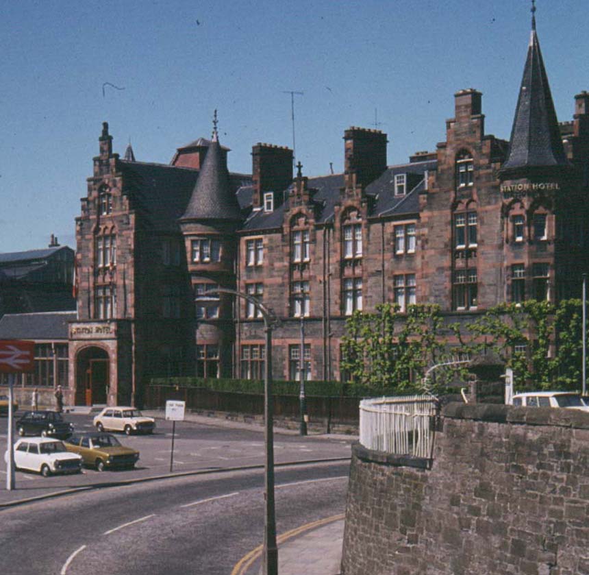
Radisson Blu Perth

Radisson Blu Perth (formerly known as the Station Hotel) is an historic building in Perth, Perth and Kinross, Scotland. Located on Leonard Street, it is...

Nearby Amenities

Located within 500m of 56.381096,-3.4519475
Mini Roundabout
Lat/Long: 56.3832499/-3.4455007
Mini Roundabout
Lat/Long: 56.3824225/-3.4445358
Noexit: yes
Lat/Long: 56.3848437/-3.4479171
Barrier: bollard
Lat/Long: 56.382026/-3.4444084
Buckie Braes
Name En: Buckie Braes
Tourism: picnic_site
Lat/Long: 56.3838546/-3.4582381
Bus Stop
Glendevon Road
Bench: no
Bin: no
Bus: yes
Public Transport: platform
Shelter: no
Lat/Long: 56.3804375/-3.4448936
Bus Stop
Glenlochy Road
Bus: yes
Naptan AtcoCode: 64802109
Naptan NaptanCode: 73723876
Public Transport: platform
Lat/Long: 56.3814015/-3.4445609
Bus Stop
Craigie Knowes Road
Bus: yes
Naptan AtcoCode: 64802112
Naptan NaptanCode: 73723939
Public Transport: platform
Lat/Long: 56.3828604/-3.4452521
Material: wood
Power: pole
Lat/Long: 56.3800417/-3.4562998
Material: wood
Power: pole
Lat/Long: 56.3796939/-3.4553623
Material: wood
Power: pole
Lat/Long: 56.3793585/-3.4544463
Material: wood
Power: pole
Lat/Long: 56.3790739/-3.4536855
Material: wood
Power: pole
Lat/Long: 56.3788348/-3.4529994
Material: wood
Power: pole
Lat/Long: 56.3785387/-3.4521152
Material: wood
Power: pole
Lat/Long: 56.3782562/-3.451317
Material: wood
Power: pole
Lat/Long: 56.3778846/-3.4502664
Material: wood
Power: pole
Lat/Long: 56.3775409/-3.449227
Power: pole
Lat/Long: 56.3775005/-3.4481614
Power: pole
Lat/Long: 56.3774695/-3.4471856
Power: pole
Lat/Long: 56.378191/-3.4464602
Power: pole
Lat/Long: 56.3786878/-3.4462602
Power: pole
Lat/Long: 56.3793575/-3.4459873
The data included in this document is from www.openstreetmap.org. The data is made available under ODbL.

Have you been to Buckie Braes?

Leave your review of Buckie Braes below (or comments, questions and feedback).