Burnetland Hill
Hill, Mountain in Peeblesshire
Scotland
Burnetland Hill
Burnetland Hill is a prominent hill located in Peeblesshire, a historic county in the Scottish Borders region of Scotland. Standing at an elevation of approximately 1,500 feet (457 meters), it offers breathtaking panoramic views of the surrounding landscape.
Situated near the village of Eddleston, Burnetland Hill is a popular destination for outdoor enthusiasts and nature lovers. Its location within the Peeblesshire countryside provides ample opportunities for activities such as hiking, walking, and birdwatching. The hill is easily accessible by foot, with well-maintained trails leading to its summit.
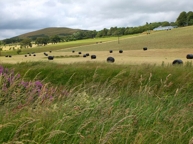
The hill is characterized by its gently sloping terrain, covered in heather and grasses, making it a picturesque sight, especially during the blooming seasons. The summit of Burnetland Hill is marked by a trig point, offering a convenient reference point for hikers. From here, visitors can enjoy unobstructed views of the rolling hills, valleys, and distant mountains.
The surrounding area is home to a diverse range of wildlife, including various bird species, deer, and rabbits. It is not uncommon to spot golden eagles soaring overhead or catch glimpses of red squirrels darting through the trees.
Due to its location in the Scottish Borders, Burnetland Hill is often visited by those seeking a peaceful and tranquil escape from city life. Its natural beauty and serene atmosphere make it an ideal destination for nature enthusiasts and those looking to immerse themselves in the stunning Scottish countryside.
If you have any feedback on the listing, please let us know in the comments section below.
Burnetland Hill Images
Images are sourced within 2km of 55.625929/-3.4332327 or Grid Reference NT0937. Thanks to Geograph Open Source API. All images are credited.


Burnetland Hill is located at Grid Ref: NT0937 (Lat: 55.625929, Lng: -3.4332327)
Unitary Authority: The Scottish Borders
Police Authority: The Lothians and Scottish Borders
What 3 Words
///trading.sunblock.cookies. Near Biggar, South Lanarkshire
Nearby Locations
Related Wikis
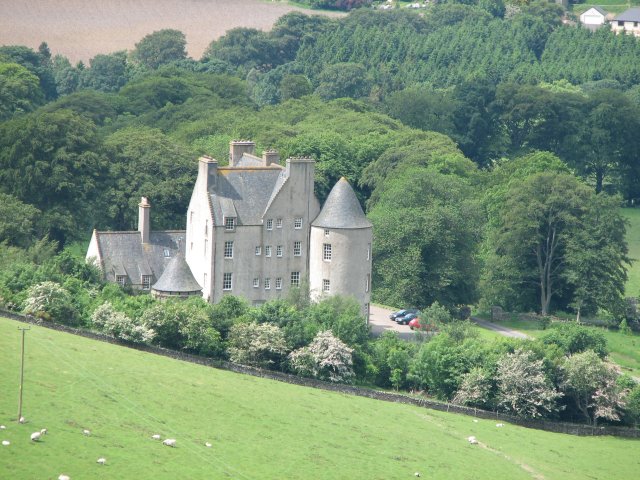
Broughton Place, Scottish Borders
Broughton Place is a historic house in the village of Broughton, Scottish Borders. It was designed by Basil Spence in the style of a 17th-century Scottish...
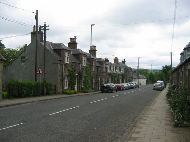
Broughton, Scottish Borders
Broughton is a village in Tweeddale in the historical county of Peeblesshire in the Scottish Borders council area, in the south of Scotland, in the civil...

Broughton railway station (Scotland)
Broughton railway station served the village of Broughton, Scottish Borders, Scotland from 1860 to 1950 on the Symington, Biggar and Broughton Railway...

Skirling
Skirling is a parish, community council area and village in Peeblesshire in the Scottish Borders situated 2+1⁄2 miles east of Biggar in Lanarkshire. Biggar...
Nearby Amenities
Located within 500m of 55.625929,-3.4332327Have you been to Burnetland Hill?
Leave your review of Burnetland Hill below (or comments, questions and feedback).