Culteuchar Hill
Hill, Mountain in Perthshire
Scotland
Culteuchar Hill
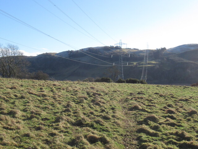
Culteuchar Hill is a prominent hill located in the county of Perthshire, Scotland. Rising to an elevation of approximately 427 meters (1,400 feet), it forms part of the Ochil Hills range, which stretches across the central region of the country. Situated near the village of Cleish, Culteuchar Hill offers breathtaking panoramic views of the surrounding landscape, making it a popular destination for hikers and nature enthusiasts.
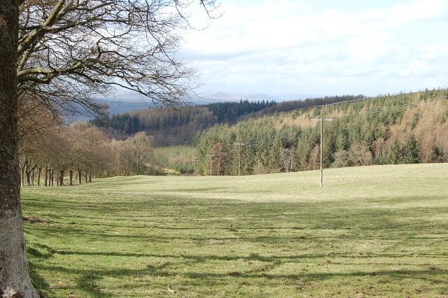
The hill is characterized by its gently sloping terrain, covered in a patchwork of heather, grasses, and scattered trees. Its relatively easy ascent makes it accessible to walkers of varying abilities, while its position within the Ochil Hills ensures a diverse array of flora and fauna. During the summer months, the hill becomes adorned with vibrant wildflowers, including purple heather and yellow gorse, creating a picturesque scene.
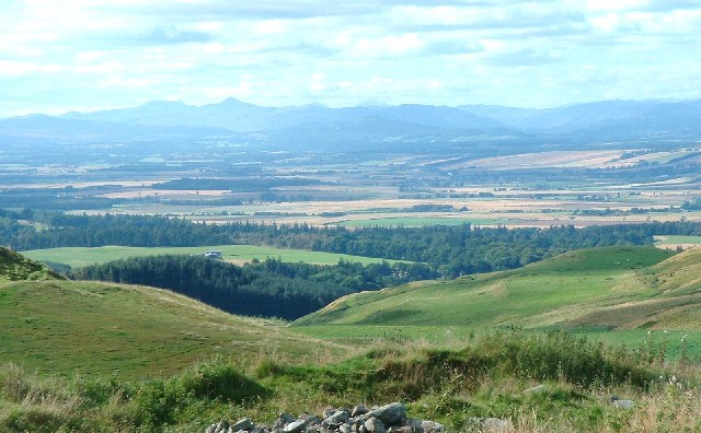
At the summit of Culteuchar Hill, visitors are rewarded with captivating vistas across the rolling Perthshire countryside, with distant views of the nearby Loch Leven and the Lomond Hills to the east. On a clear day, it is even possible to catch a glimpse of the towering peaks of the Scottish Highlands in the distance.
For those seeking a longer adventure, Culteuchar Hill can be incorporated into a larger walking route, such as the Ochil Hills Circuit, offering a more challenging and rewarding experience. Overall, Culteuchar Hill is a stunning natural landmark in Perthshire, providing an opportunity to connect with nature and enjoy the beauty of Scotland's countryside.
If you have any feedback on the listing, please let us know in the comments section below.
Culteuchar Hill Images
Images are sourced within 2km of 56.320571/-3.4626008 or Grid Reference NO0915. Thanks to Geograph Open Source API. All images are credited.


Culteuchar Hill is located at Grid Ref: NO0915 (Lat: 56.320571, Lng: -3.4626008)
Unitary Authority: Perth and Kinross
Police Authority: Tayside
What 3 Words
///sudden.bills.sunbeam. Near Bridge of Earn, Perth & Kinross
Nearby Locations
Related Wikis

Forgandenny
Forgandenny (Scottish Gaelic Forgrann Eithne, 'Over-Bog of Eithne' [an ancient female Gaelic name]) is a small village in Perth and Kinross, Scotland,...

Strathallan School
Strathallan School is a private boarding and day school in Scotland for boys and girls aged 5-18. The school has a 153-acre (62-hectare) campus at Forgandenny...

Pitkeathly Wells
Pitkeathly Wells (spelling variants: Pitcaithly, Pitceathly, Pitkethley, etc.) is a hamlet in the Perth and Kinross area of Scotland, famed for its mineral...

Kilgraston School
Kilgraston School is a Scottish private boarding and day school offering primary school education for boys and girls aged from five to twelve years old...

Invermay
Invermay ( ) is a diffuse settlement in Perth and Kinross, Scotland. It is situated approximately 2 km southeast of Forteviot on the Water of May, some...
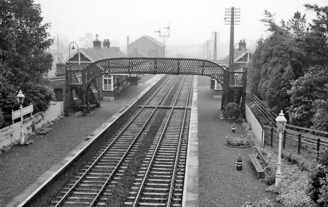
Forgandenny railway station
Forgandenny railway station served the village of Forgandenny, Perth and Kinross, Scotland from 1848 to 1956 on the Scottish Central Railway. == History... ==
Bridge of Earn railway station
Bridge of Earn railway station served the town of Bridge of Earn, Perthshire, Scotland from 1848 to 1965 on the Edinburgh and Northern Railway. == History... ==
Forteviot Bronze Age tomb
Forteviot Bronze Age tomb is a Bronze Age burial chamber discovered in 2009 at Forteviot near Perth, Scotland. The Bronze Age tomb is one of a number of...
Nearby Amenities
Located within 500m of 56.320571,-3.4626008Have you been to Culteuchar Hill?
Leave your review of Culteuchar Hill below (or comments, questions and feedback).