Benshaw Hill

Hill, Mountain in Peeblesshire

Scotland

Benshaw Hill

River Tweed, Patervan Seen from the new bridge on the timber road.
River Tweed, Patervan Credit: Richard Webb

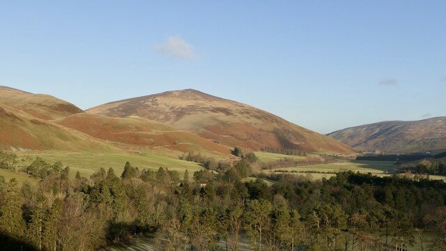
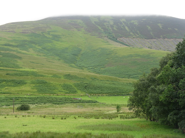
Benshaw Hill, also known as Benshaw Moor, is located in the Peeblesshire region of the Scottish Borders in Scotland. Standing at an elevation of 520 meters (1,706 feet), it is classified as a hill rather than a mountain. Benshaw Hill is situated within the wider Moorfoots range, which is characterized by a series of rolling hills.

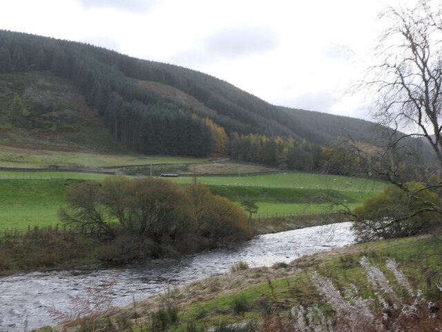
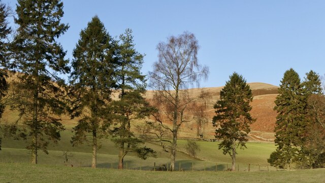
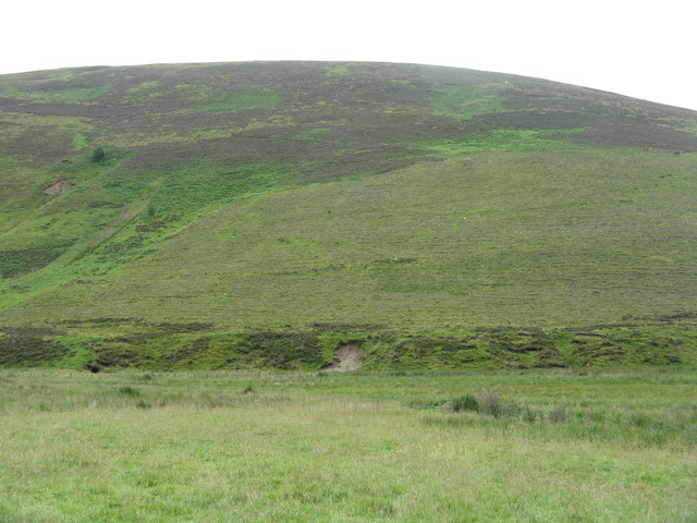
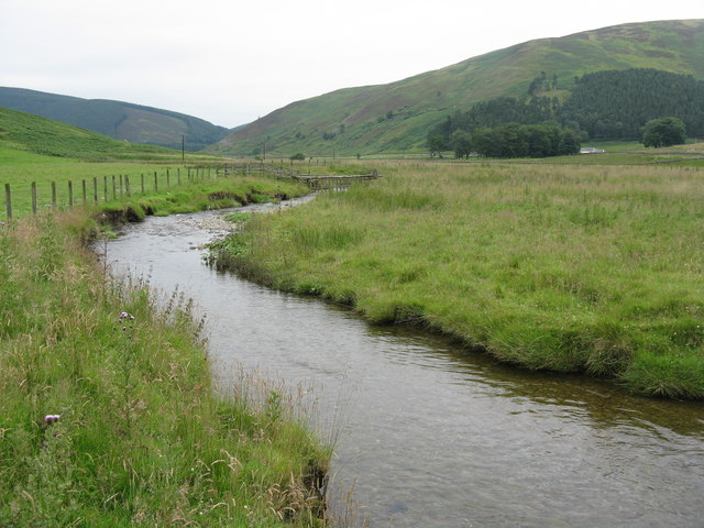
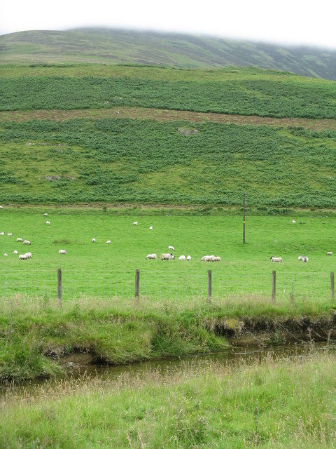
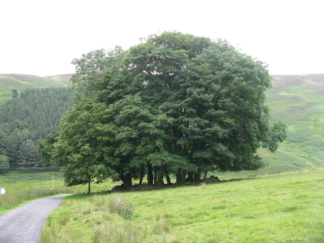
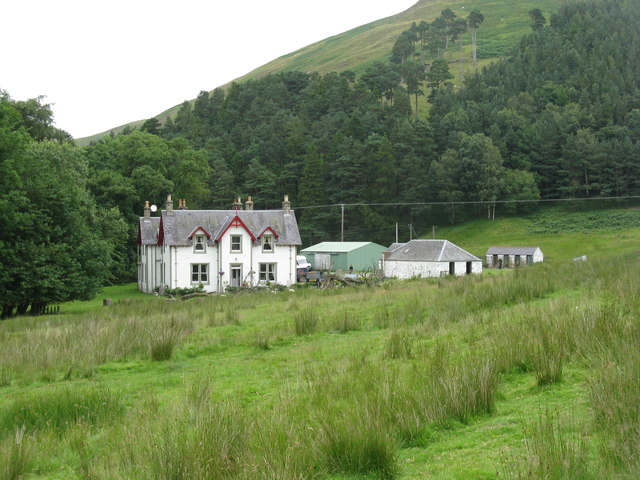
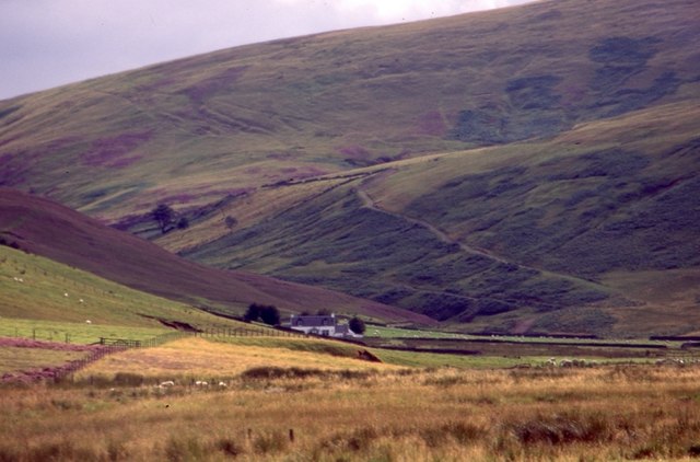
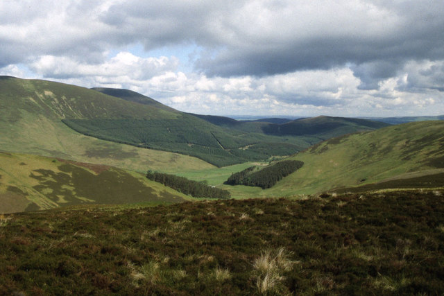
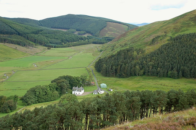
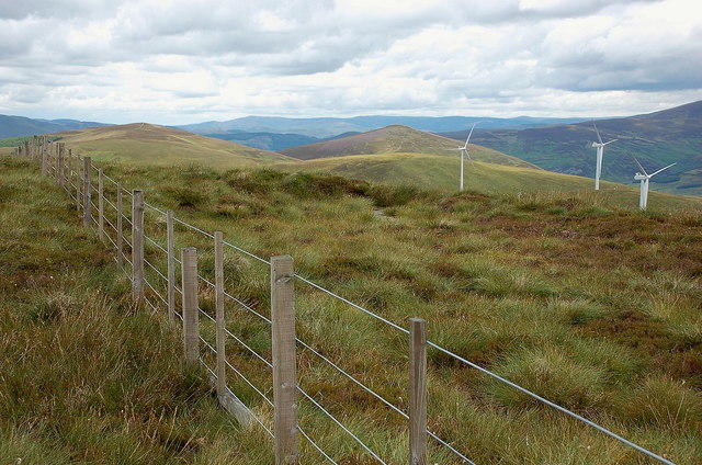
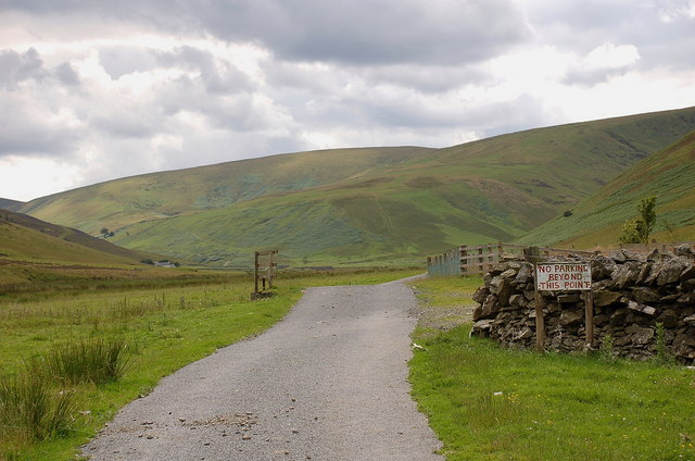
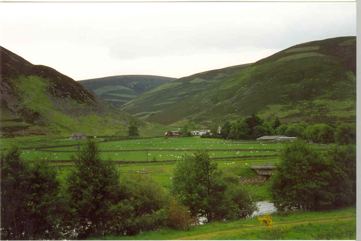
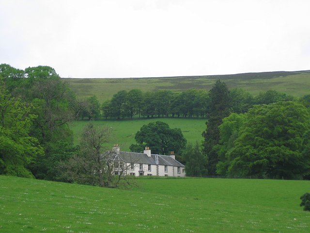
The area surrounding Benshaw Hill is predominantly rural, with scattered farms and fields dotting the landscape. The hill itself is covered in heather and grasses, creating a picturesque and serene atmosphere. Its summit offers panoramic views of the surrounding countryside, including the nearby town of Peebles.

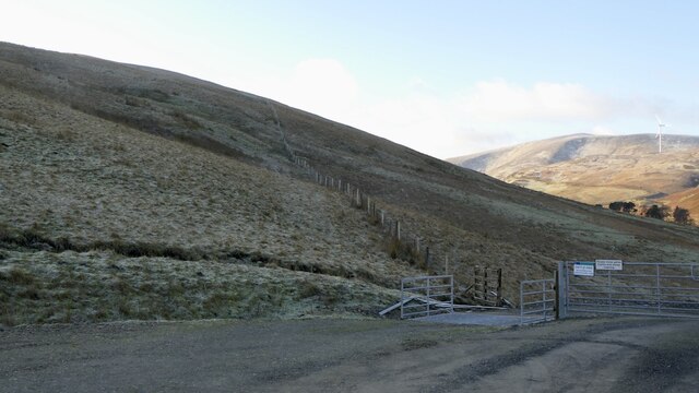
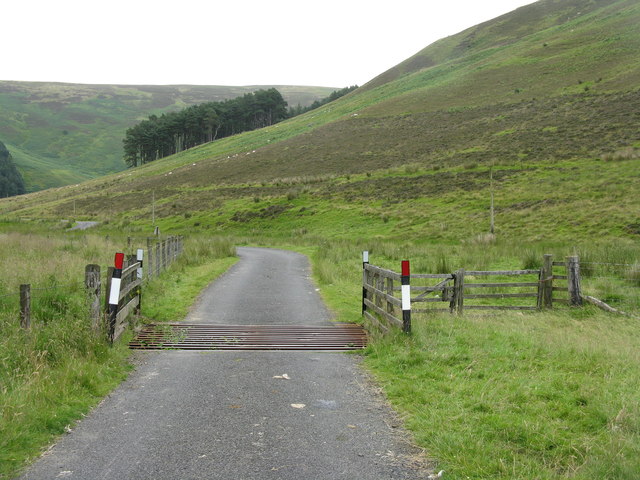
Benshaw Hill is a popular destination for outdoor enthusiasts, particularly hikers and walkers. Several trails and paths crisscross the hill, providing opportunities for both leisurely strolls and more challenging hikes. The ascent to the summit is relatively moderate, making it accessible to a wide range of fitness levels. On a clear day, visitors can enjoy breathtaking vistas of the Scottish Borders, with rolling hills extending as far as the eye can see.

The area is also home to a variety of wildlife, including birds of prey, such as red kites and buzzards, as well as smaller mammals like deer and rabbits. Nature lovers can often spot these creatures while exploring the hill's trails.

Overall, Benshaw Hill offers a peaceful and scenic escape for those seeking to immerse themselves in the natural beauty of Peeblesshire.

If you have any feedback on the listing, please let us know in the comments section below.

Benshaw Hill Images

Images are sourced within 2km of 55.550723/-3.4339496 or Grid Reference NT0929. Thanks to Geograph Open Source API. All images are credited.

River Tweed, Patervan Seen from the new bridge on the timber road.
River Tweed, Patervan
Seen from the new bridge on the timber road.
Trees, Kingledores Mature trees beside the A701.
Trees, Kingledores
Mature trees beside the A701.
Wind farm road, Kingledores The glen above Kingledores is a very attractive place. Getting into it is easy with the newish road, but there is a bit of a climb over the spur of Nicklebeard Hill and all height gained gets lost immediately.
Wind farm road, Kingledores
The glen above Kingledores is a very attractive place. Getting into it is easy with the newish road, but there is a bit of a climb over the spur of Nicklebeard Hill and all height gained gets lost immediately.
Woodland around Kingledores View down Tweeddale towards Worm Hill over the woodlands around Kingledores. Taken from the high point of the wind farm road which bypasses the house and farm.
Woodland around Kingledores
View down Tweeddale towards Worm Hill over the woodlands around Kingledores. Taken from the high point of the wind farm road which bypasses the house and farm.
Barrow Rig from Glenkirk Looking southeast across the Holms Water.
Barrow Rig from Glenkirk
Looking southeast across the Holms Water.
The Holms Water Looking downstream to Glencotho.
The Holms Water
Looking downstream to Glencotho.
Pasture by the Holms Water With bracken-covered lower slopes of Chapelgill Hill beyond.
Pasture by the Holms Water
With bracken-covered lower slopes of Chapelgill Hill beyond.
Cattle grid in Glen Holm Looking down the valley.
Cattle grid in Glen Holm
Looking down the valley.
Clump of trees at Glencotho Surrounded by a low circular wall.
Clump of trees at Glencotho
Surrounded by a low circular wall.
Glencotho in Glen Holm The rightmost building is roadside kennels, with very alert dogs.
Glencotho in Glen Holm
The rightmost building is roadside kennels, with very alert dogs.
Glen Holm at Glencotho Looking across the valley of the Holms Water to the scar of cleared forestry on the western side of the glen.
Glen Holm at Glencotho
Looking across the valley of the Holms Water to the scar of cleared forestry on the western side of the glen.
Benshaw Hill from the air Benshaw Hill is in the foreground, with Glencotho to the left. The distant ring of trees is at Mossfennan, with the River Tweed to the right.
Benshaw Hill from the air
Benshaw Hill is in the foreground, with Glencotho to the left. The distant ring of trees is at Mossfennan, with the River Tweed to the right.
View up the Holms Water Towards Holms Waterhead from the public road end
View up the Holms Water
Towards Holms Waterhead from the public road end
Chapelgill Hill & Glencotho from near Cocklie Rig Head
Glencotho and Common Law Glencotho is one of the sheep farms in Glen Holm, a valley south of Broughton. Common Law is the hill directly ahead with the plantation.
Glencotho and Common Law
Glencotho is one of the sheep farms in Glen Holm, a valley south of Broughton. Common Law is the hill directly ahead with the plantation.
Turbines and access road, Cocklie Rig The Glenkerie wind farm comprises 11 turbines each rated at 2 MW capacity, operated by Novera Energy plc. Construction took place in 2010-11 by I & H Brown Ltd. Two of the turbines are in view here, along with part of the access road and an equipment building.
Turbines and access road, Cocklie Rig
The Glenkerie wind farm comprises 11 turbines each rated at 2 MW capacity, operated by Novera Energy plc. Construction took place in 2010-11 by I & H Brown Ltd. Two of the turbines are in view here, along with part of the access road and an equipment building.
Summit fence, Glenlood Hill Three of the 11 turbines of the Glenkerie wind farm are in view, along with Blakehope Head (L) and Worm Hill (R). Compare with <a href="https://www.geograph.org.uk/photo/836562">NT0828 : Fence on the summit of Glenlood Hill</a> taken in 2008.
Summit fence, Glenlood Hill
Three of the 11 turbines of the Glenkerie wind farm are in view, along with Blakehope Head (L) and Worm Hill (R). Compare with NT0828 : Fence on the summit of Glenlood Hill taken in 2008.
End of the public road, Glenkirk The public road ends at the farm of Glenkirk; the farm track continues to the house at Holms Waterhead and beyond.
End of the public road, Glenkirk
The public road ends at the farm of Glenkirk; the farm track continues to the house at Holms Waterhead and beyond.
Show me another place!

Benshaw Hill is located at Grid Ref: NT0929 (Lat: 55.550723, Lng: -3.4339496)

Unitary Authority: The Scottish Borders

Police Authority: The Lothians and Scottish Borders

What 3 Words

///potential.respond.retrial. Near Biggar, South Lanarkshire

Nearby Locations

Benshaw Hill

Related Wikis

A701 road

The A701 is a major road in Scotland that runs from Dumfries to Edinburgh. == Route == The A701 leaves Dumfries and travels north to meet the A74(M) east...

Stanhope, Peeblesshire

Stanhope is a small settlement in the Scottish Borders region. It is situated in the parish of Drumelzier in Peeblesshire, in the valley of the River...

Polmood

Polmood is a small settlement in southern Scotland near Tweedsmuir in the Scottish Borders, in the valley of the River Tweed. Polmood was for many centuries...

Mossfennan

Mossfennan is a small settlement in southern Scotland near Drumelzier in the Scottish Borders, in the valley of the River Tweed. Mossfennan is a wooded...

Nearby Amenities

Located within 500m of 55.550723,-3.4339496
Generator Method: wind_turbine
Generator Source: wind
Generator Type: horizontal_axis
Power: generator
Lat/Long: 55.5475758/-3.4382745
Benshaw Hill
Ele: 503
Natural: peak
Lat/Long: 55.550578/-3.4335135
The data included in this document is from www.openstreetmap.org. The data is made available under ODbL.

Have you been to Benshaw Hill?

Leave your review of Benshaw Hill below (or comments, questions and feedback).