Almagill Hill

Hill, Mountain in Dumfriesshire

Scotland

Almagill Hill

Almagill Hill Trig Point Flush Bracket S9835
Almagill Hill Trig Point Flush Bracket S9835 Credit: thejackrustles

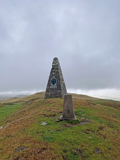
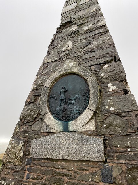
Almagill Hill, located in Dumfriesshire, Scotland, is a prominent hill that offers breathtaking views and is a popular destination for hikers and nature enthusiasts. Standing at an elevation of approximately 557 meters (1,827 feet), it is considered a hill rather than a mountain.

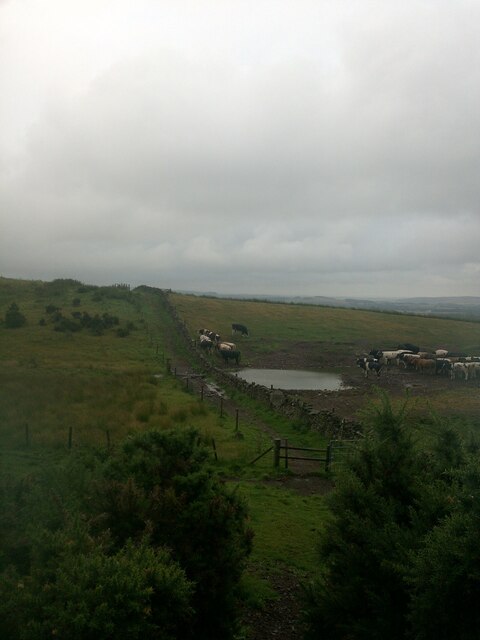
The hill is characterized by its distinct rounded shape and is part of the Southern Uplands range. It is covered in a mixture of heather, grass, and scattered shrubs, creating a picturesque landscape that changes with the seasons. The terrain is moderately steep, making it suitable for individuals with a reasonable level of fitness.

Hikers can access Almagill Hill by following well-defined paths that lead to the summit. The ascent takes approximately 2-3 hours, depending on the chosen route and individual pace. Along the way, visitors can spot various species of birds, including red grouse, pheasants, and occasionally golden eagles soaring above.

Reaching the top of Almagill Hill rewards hikers with panoramic views of the surrounding countryside. On clear days, it is possible to see as far as the Solway Firth and the hills of Cumbria in England. The hill is also an excellent spot for stargazing due to its remote location, away from light pollution.

Overall, Almagill Hill offers a satisfying hiking experience for those seeking a moderate challenge and a chance to immerse themselves in the natural beauty of Dumfriesshire's countryside.

If you have any feedback on the listing, please let us know in the comments section below.

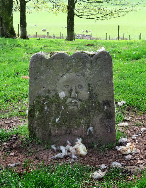
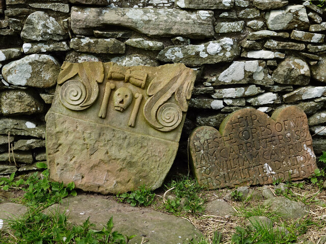
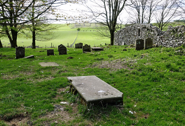
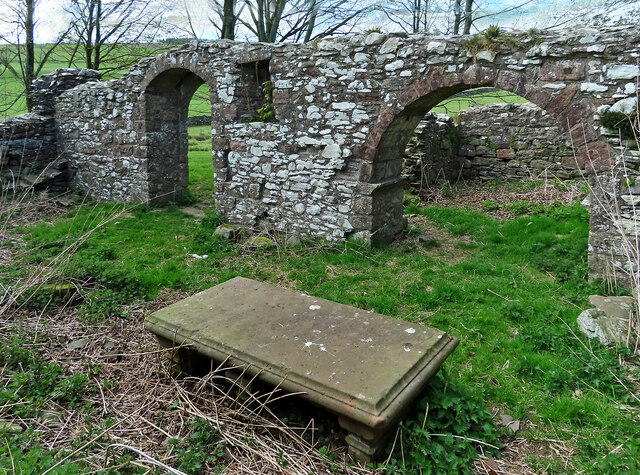
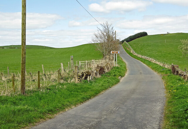
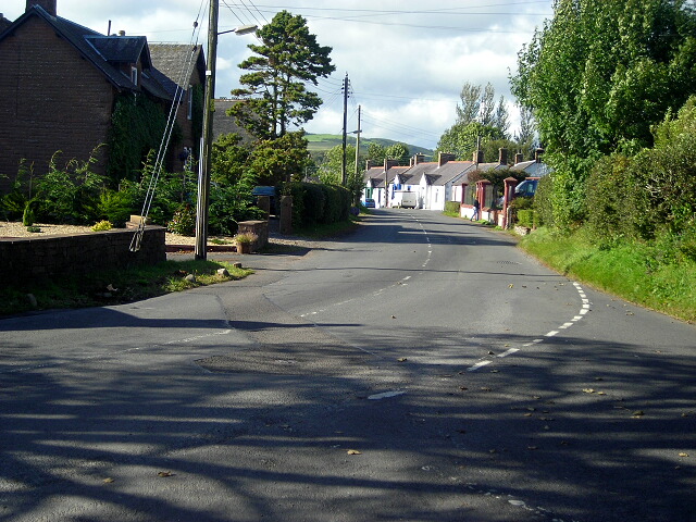
Almagill Hill Images

Images are sourced within 2km of 55.068105/-3.4275357 or Grid Reference NY0875. Thanks to Geograph Open Source API. All images are credited.

Almagill Hill Trig Point Flush Bracket S9835
Section of Annadale Way on a dull rainy day
Monument To Joe Graham <span class="nowrap"><a title="https://britishlistedbuildings.co.uk/200334506-monument-to-joe-graham-almagill-hill-dalton#.YXBr_y8w3w4" rel="nofollow ugc noopener" href="https://britishlistedbuildings.co.uk/200334506-monument-to-joe-graham-almagill-hill-dalton#.YXBr_y8w3w4">Link</a><img style="margin-left:2px;" alt="External link" title="External link - shift click to open in new window" src="https://s1.geograph.org.uk/img/external.png" width="10" height="10"/></span>

Steep pyramidal monument (about 6m high), on summit of
Almagill Hill and with 1896 bronze panel by J W Dods (signed
and dated) set in S face. Rubble-built, bronze panel (hunting
scene) in granite surround, inscribed panel below also
granite.
Monument To Joe Graham
LinkExternal link Steep pyramidal monument (about 6m high), on summit of Almagill Hill and with 1896 bronze panel by J W Dods (signed and dated) set in S face. Rubble-built, bronze panel (hunting scene) in granite surround, inscribed panel below also granite.
Old and new graffiti on Monument To Joe Graham
17th century stone at Little Dalton This is the oldest stone in the graveyard, dated 1665, which is very early for Scottish graveyards. The inscription reads as follows:
THIS IS
THE BURIAL PL
ACE OF THOMAS
KER IN CLOSS IN
THE PARISH OF LITL
DALTON WHO DE
PARTED THIS LIFE DEC
EMBER THE 8TH 1665
17th century stone at Little Dalton
This is the oldest stone in the graveyard, dated 1665, which is very early for Scottish graveyards. The inscription reads as follows: THIS IS THE BURIAL PL ACE OF THOMAS KER IN CLOSS IN THE PARISH OF LITL DALTON WHO DE PARTED THIS LIFE DEC EMBER THE 8TH 1665
A 17th century stone at Little Dalton The oldest stone here is dated 1665 which is very early for Scottish graveyards. The strict attitudes of the Protestant Reformers had softened with time and gravestones started to appear from the early 1600s. The carved mortality symbols show a horizontal hour glass, a simple skull and crossed bones.
A 17th century stone at Little Dalton
The oldest stone here is dated 1665 which is very early for Scottish graveyards. The strict attitudes of the Protestant Reformers had softened with time and gravestones started to appear from the early 1600s. The carved mortality symbols show a horizontal hour glass, a simple skull and crossed bones.
An 18th century stone at Little Dalton This side shows the initials and date across the top “LK : 1743 : IC” with a simple skull and horizontal hour glass below. The other side was too worn to make out any information.
An 18th century stone at Little Dalton
This side shows the initials and date across the top “LK : 1743 : IC” with a simple skull and horizontal hour glass below. The other side was too worn to make out any information.
A broken stone at Little Dalton This stone lies in two pieces against the kirk wall. Having been restored, it’s easy to read. The horizontal hour glass, the simple skull and the bones symbolise man’s earthly mortality. The visible inscription reads as follows: 
HEIR
LYES THE CORPS OF WILL
IAM CARRUTHERS SON
TO WILLIAM CARRUTH
ERS IN LITTLE DALTON
WHO DEPARTED THIS LIFE…
A broken stone at Little Dalton
This stone lies in two pieces against the kirk wall. Having been restored, it’s easy to read. The horizontal hour glass, the simple skull and the bones symbolise man’s earthly mortality. The visible inscription reads as follows: HEIR LYES THE CORPS OF WILL IAM CARRUTHERS SON TO WILLIAM CARRUTH ERS IN LITTLE DALTON WHO DEPARTED THIS LIFE…
Symbolic stone at Little Dalton The carving shows an open Holy Bible indicating the rise of a devout person to Heaven. The horizontal hour glass, skull and crossed bones symbolise man’s earthly mortality.
Symbolic stone at Little Dalton
The carving shows an open Holy Bible indicating the rise of a devout person to Heaven. The horizontal hour glass, skull and crossed bones symbolise man’s earthly mortality.
An 18th century table-stone at Little Dalton Table-stones seem to have been popular at this site. The inscription is too worn to make much out but the dates are from the mid-18th century. The symbolic carvings of a simple skull and two vertical bones indicate man’s earthly mortality.
An 18th century table-stone at Little Dalton
Table-stones seem to have been popular at this site. The inscription is too worn to make much out but the dates are from the mid-18th century. The symbolic carvings of a simple skull and two vertical bones indicate man’s earthly mortality.
Inside Little Dalton Kirk nave The table-stone marks the burial place of the Dr William Carruthers. The kirk's small aisle in shown in the background.
Inside Little Dalton Kirk nave
The table-stone marks the burial place of the Dr William Carruthers. The kirk's small aisle in shown in the background.
Inside Little Dalton Kirk Viewed looking into the nave from the aisle. The table-stone marks the burial place of the Dr William Carruthers of Holmains.
Inside Little Dalton Kirk
Viewed looking into the nave from the aisle. The table-stone marks the burial place of the Dr William Carruthers of Holmains.
At Little Dalton Kirkyard The old church comprises a rectangular nave with a small aisle on the NNW wall.  Dating back to the 13th century, the church was abandoned in 1633 with the graveyard continuing in use up to 1788.
The graveyard, which is the burial ground of the Carruthers family of Holmains, lies to the SE of the church building and holds some interesting old stones.  Most belong to the 18th century with one dated 1665. This is very early for Scottish graveyards as the Protestant Reformers had banned church burials and gravestones. Attitudes softened with time and gravestones started to appear from the early 1600s.
At Little Dalton Kirkyard
The old church comprises a rectangular nave with a small aisle on the NNW wall. Dating back to the 13th century, the church was abandoned in 1633 with the graveyard continuing in use up to 1788. The graveyard, which is the burial ground of the Carruthers family of Holmains, lies to the SE of the church building and holds some interesting old stones. Most belong to the 18th century with one dated 1665. This is very early for Scottish graveyards as the Protestant Reformers had banned church burials and gravestones. Attitudes softened with time and gravestones started to appear from the early 1600s.
Going to Little Dalton Kirk Access is along this dedicated footpath.
Going to Little Dalton Kirk
Access is along this dedicated footpath.
This way leads to Little Dalton Kirk Access is along a dedicated footpath and there’s a handy parking place nearby.
This way leads to Little Dalton Kirk
Access is along a dedicated footpath and there’s a handy parking place nearby.
Kirkhill Farm Viewed from Little Dalton Kirkyard.
Kirkhill Farm
Viewed from Little Dalton Kirkyard.
Hallidayhill Farm A late-April view.
Hallidayhill Farm
A late-April view.
Show me another place!

Almagill Hill is located at Grid Ref: NY0875 (Lat: 55.068105, Lng: -3.4275357)

Unitary Authority: Dumfries and Galloway

Police Authority: Dumfries and Galloway

What 3 Words

///activity.madder.scornful. Near Lochmaben, Dumfries & Galloway

Nearby Locations

Almagill Hill

Related Wikis

Dalton, Dumfries and Galloway

The village of Dalton is a small settlement about 10 miles (16 km) southeast of Dumfries and 4 miles (6.4 km) south of Lockerbie, in Dumfries and Galloway...

Rockhall Tower

Rockhall Tower, also known as Rockhall House or Rockhall Tower House, is a 16th-century tower house in Collin, Dumfries and Galloway. The castle originally...

Carrutherstown

Carrutherstown is a village in the civil parish of Dalton, in Dumfries and Galloway, Scotland. It is about 9 miles (14 km) east of Dumfries. == Demographics... ==

Heck, Dumfries and Galloway

Heck is a hamlet in the local government area of Dumfries and Galloway, Scotland. Heck is 2 miles (3.2 km) southeast of the town of Lochmaben and is 1...

Nearby Amenities

Located within 500m of 55.068105,-3.4275357
Joe Graham Memorial
Historic: monument
Lat/Long: 55.0682435/-3.427656
Almagill Hill
Natural: peak
Lat/Long: 55.0676375/-3.427801
The data included in this document is from www.openstreetmap.org. The data is made available under ODbL.

Have you been to Almagill Hill?

Leave your review of Almagill Hill below (or comments, questions and feedback).