Kinnaird Hill
Hill, Mountain in Perthshire
Scotland
Kinnaird Hill
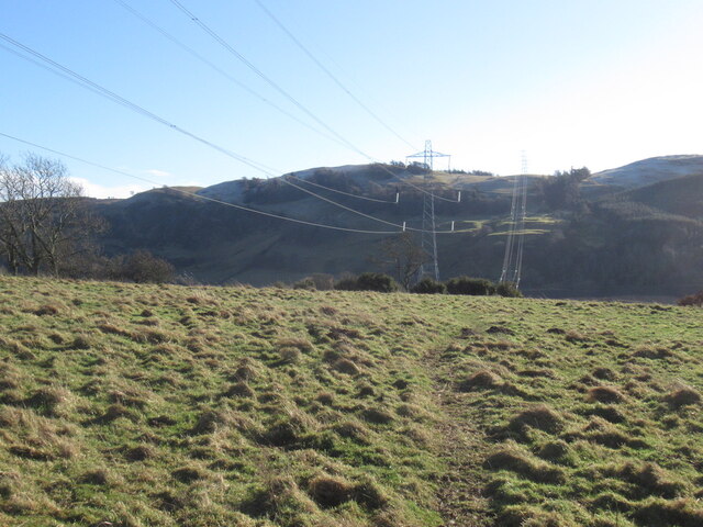
Kinnaird Hill is a prominent landmark located in the county of Perthshire, Scotland. Standing at an elevation of approximately 200 meters (656 feet), it is classified as a hill rather than a mountain due to its relatively modest height. Despite this, it offers breathtaking panoramic views of the surrounding countryside and is a popular destination for nature enthusiasts and hikers.
Situated in the eastern part of Perthshire, Kinnaird Hill is surrounded by picturesque landscapes, including rolling hills, lush green fields, and dense woodlands. The hill itself is characterized by its gentle slopes, making it accessible to visitors of all ages and fitness levels. It is a favored spot for outdoor activities such as walking, jogging, and picnicking.
Covered in a diverse range of vegetation, Kinnaird Hill is home to a variety of plant and animal species, contributing to its ecological significance. During the spring and summer months, the hill is adorned with colorful wildflowers, creating a vibrant and enchanting atmosphere.
The hill is also rich in historical and cultural significance. It is believed to have been inhabited since ancient times, with archaeological evidence suggesting human presence dating back thousands of years. Today, remnants of ancient settlements and burial sites can still be found on the hill, providing valuable insights into the region's past.
In conclusion, Kinnaird Hill is a captivating natural landmark in Perthshire, Scotland. Offering stunning views, diverse wildlife, and a glimpse into history, it is a must-visit destination for those seeking to immerse themselves in the beauty of the Scottish countryside.
If you have any feedback on the listing, please let us know in the comments section below.
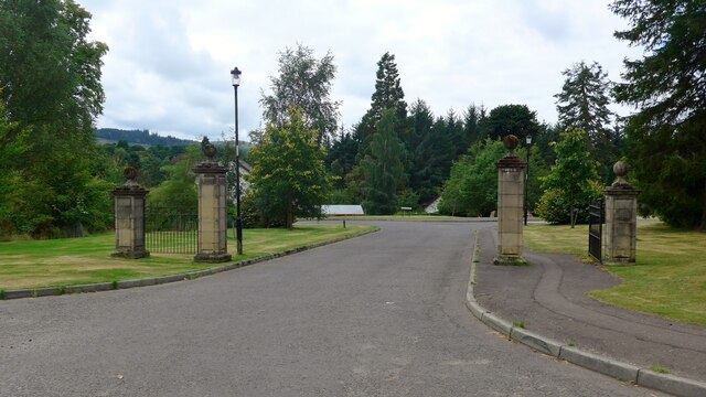
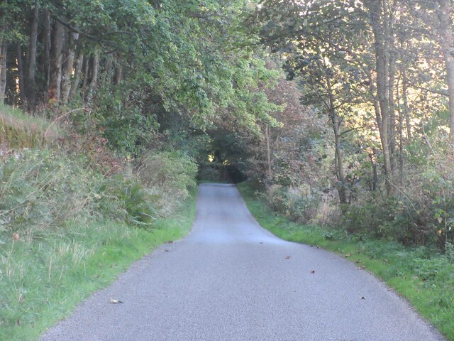
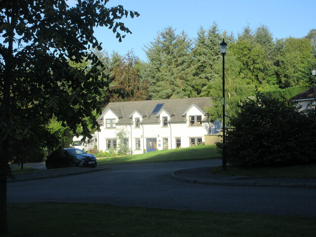
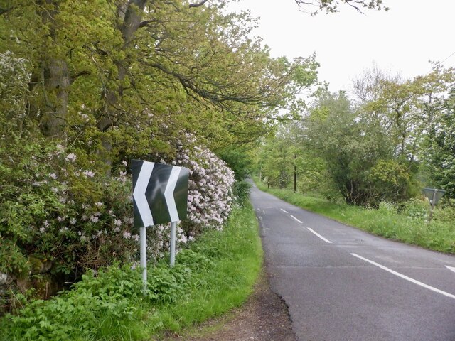
Kinnaird Hill Images
Images are sourced within 2km of 56.339517/-3.4818329 or Grid Reference NO0817. Thanks to Geograph Open Source API. All images are credited.


Kinnaird Hill is located at Grid Ref: NO0817 (Lat: 56.339517, Lng: -3.4818329)
Unitary Authority: Perth and Kinross
Police Authority: Tayside
What 3 Words
///lollipop.thudding.colleague. Near Bridge of Earn, Perth & Kinross
Nearby Locations
Related Wikis

Forgandenny
Forgandenny (Scottish Gaelic Forgrann Eithne, 'Over-Bog of Eithne' [an ancient female Gaelic name]) is a small village in Perth and Kinross, Scotland,...

Strathallan School
Strathallan School is a private boarding and day school in Scotland for boys and girls aged 5-18. The school has a 153-acre (62-hectare) campus at Forgandenny...
Forgandenny railway station
Forgandenny railway station served the village of Forgandenny, Perth and Kinross, Scotland from 1848 to 1956 on the Scottish Central Railway. == History... ==

Invermay
Invermay ( ) is a diffuse settlement in Perth and Kinross, Scotland. It is situated approximately 2 km southeast of Forteviot on the Water of May, some...
Related Videos

Autumn Road Trip Drive With Music On History Visit To Parish Church Aberdalgie Perthshire Scotland
Tour Scotland 4K travel video of an Autumn road trip drive on a narrow Scottish road, with Scottish music, on ancestry visit to the ...

Road Trip Drive With Bagpipes Music On History Visit To Parish Church Aberdalgie Perthshire Scotland
Tour Scotland 4K travel video of an Autumn road trip drive on a narrow Scottish road, with Scottish bagpipes music, on ancestry ...

Blethering Ben - The Water of May
With tighter Covid travel restrictions looming and wilderness walks certain to be off bounds for weeks if not months, I'd been poring ...

Late Autumn Road Trip Drive Through Flooding On History Visit To Strathearn Perthshire Scotland
Tour Scotland short 4K late Autumn travel video clip, of a a dreich, which is a Scots word for dull, rainy and cloudy weather, road ...
Nearby Amenities
Located within 500m of 56.339517,-3.4818329Have you been to Kinnaird Hill?
Leave your review of Kinnaird Hill below (or comments, questions and feedback).