Lathalmond Hill
Hill, Mountain in Fife
Scotland
Lathalmond Hill

Lathalmond Hill is a prominent geographical feature located in Fife, Scotland. Situated near the village of Lathalmond, this hill is part of the larger Ochil Hills range that stretches across central Scotland.
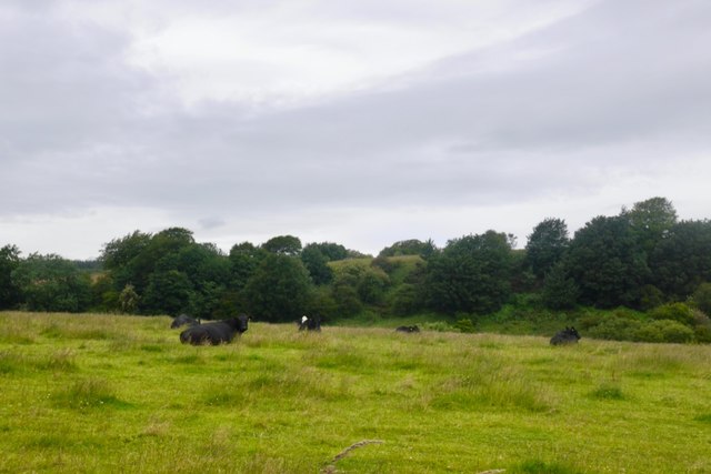
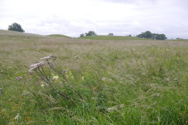
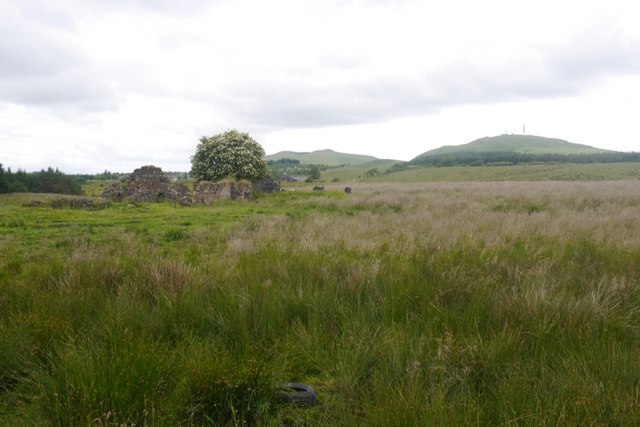
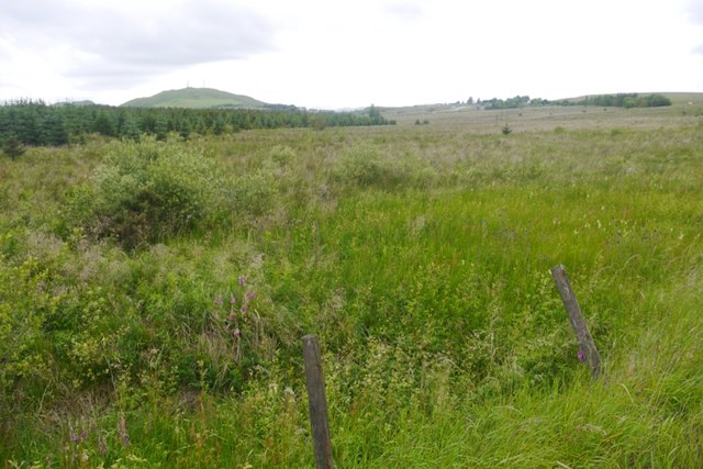
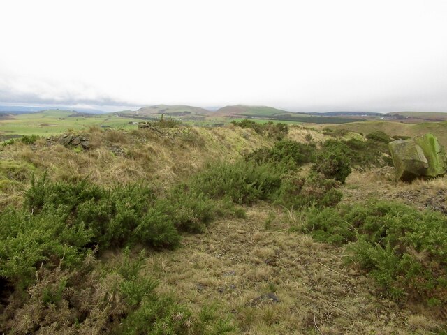
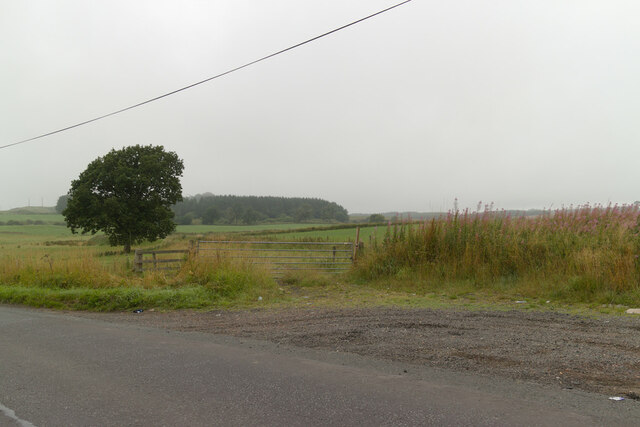
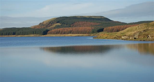
Standing at an elevation of approximately 277 meters (909 feet), Lathalmond Hill offers stunning panoramic views of the surrounding countryside. The hill is covered in rich green vegetation, including grasses, heather, and scattered trees, providing a picturesque landscape for visitors.
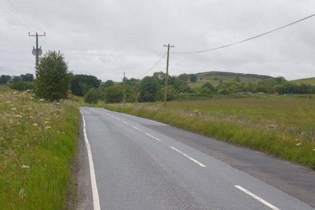
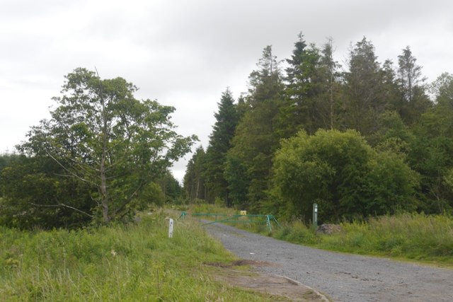
The rugged terrain of Lathalmond Hill makes it a popular destination for outdoor enthusiasts and nature lovers. Numerous walking paths and trails crisscross the hill, allowing visitors to explore its slopes and enjoy the breathtaking scenery. The hill's location within the Ochil Hills also provides opportunities for hiking and mountain biking.
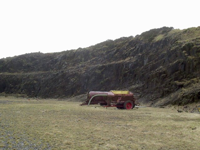
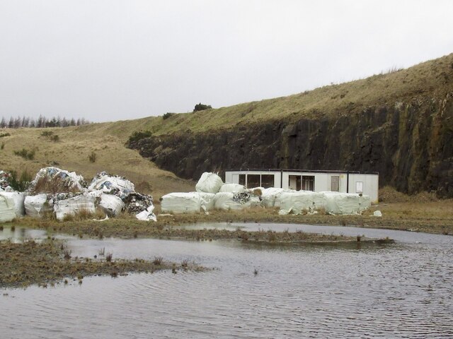
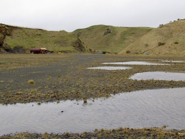
The history of Lathalmond Hill is intertwined with the nearby village of Lathalmond. In the past, the hill was used for quarrying, and evidence of this industrial activity can still be seen today. Additionally, the hill was once home to a radar station during World War II, playing a crucial role in monitoring enemy aircraft movements.
Overall, Lathalmond Hill offers a diverse range of outdoor activities and breathtaking views for those who visit. Whether it is hiking, biking, or simply enjoying the natural beauty of the Scottish countryside, this hill provides a memorable experience for all who venture to its summit.
If you have any feedback on the listing, please let us know in the comments section below.
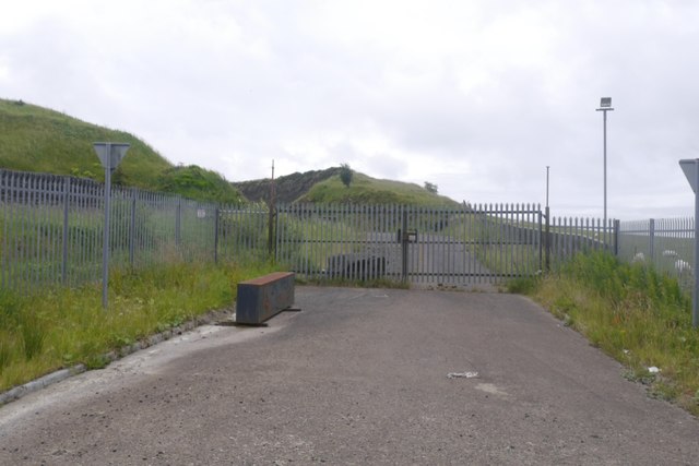
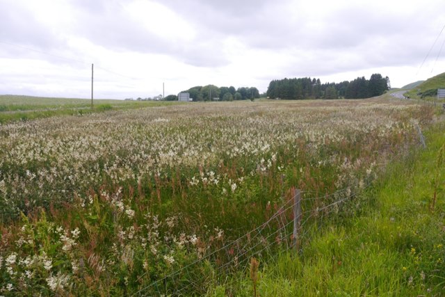
Lathalmond Hill Images
Images are sourced within 2km of 56.116678/-3.4742352 or Grid Reference NT0892. Thanks to Geograph Open Source API. All images are credited.


Lathalmond Hill is located at Grid Ref: NT0892 (Lat: 56.116678, Lng: -3.4742352)
Unitary Authority: Fife
Police Authority: Fife
What 3 Words
///slimy.easy.tapes. Near Townhill, Fife
Nearby Locations
Related Wikis

Scottish Vintage Bus Museum
The Scottish Vintage Bus Museum is a transport museum in Lathalmond, 2.5 miles north of Dunfermline, Fife. The museum is open every Sunday between April...

Bowershall
Bowershall is a village in Fife, Scotland, UK, situated near Craigluscar Hill, two miles north of Dunfermline, one mile north of Townhill, and to the west...

Knockhill
Knockhill Racing Circuit is a motor racing circuit in Fife, Scotland. It opened in September 1974 and is Scotland's national motorsport centre. The circuit...

Black Devon
The Black Devon is a river in Scotland. It rises in the Cleish Hills, specifically the area known as Outh Muir, 1.5 kilometres (0.93 mi) north of Knockhill...

Queen Anne High School, Dunfermline
Queen Anne High School is a large secondary school in the city of Dunfermline in Fife. It is named for Anne of Denmark, the queen of James VI, whose former...

Lassodie
Lassodie is an abandoned settlement located two miles south-west of Kelty, between Dunfermline and Cowdenbeath, in Fife. == History == The name Lassodie...
Dumglow
Dumglow (379 m) is the highest peak of the Cleish Hills in Perth and Kinross, Scotland. It is located north of Dunfermline. An ancient fort lies on its...

Dunfermline (district)
Dunfermline (Scottish Gaelic: Dùn Phàrlain, Scots: Dunfaurlin) was a local government district in the Fife region of Scotland from 1975 to 1996, lying...
Nearby Amenities
Located within 500m of 56.116678,-3.4742352Have you been to Lathalmond Hill?
Leave your review of Lathalmond Hill below (or comments, questions and feedback).