Falla Moss
Hill, Mountain in Peeblesshire
Scotland
Falla Moss
Falla Moss, located in Peeblesshire, is a prominent hill/mountain that stands as an impressive natural landmark in the region. Situated within the picturesque Scottish Borders, Falla Moss is known for its rugged terrain and breathtaking panoramic views.
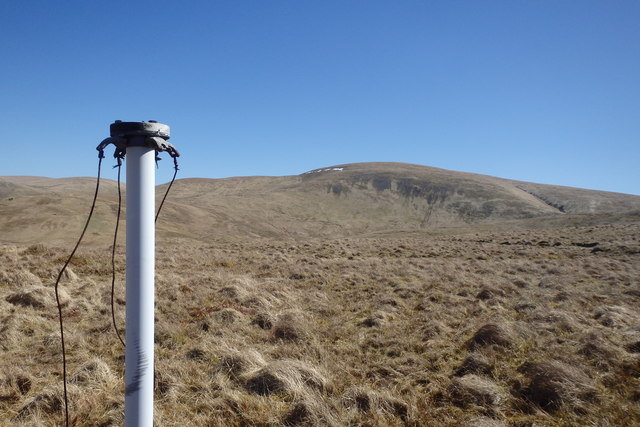
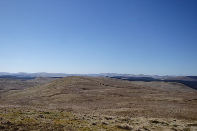
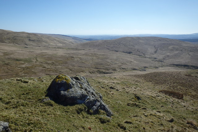
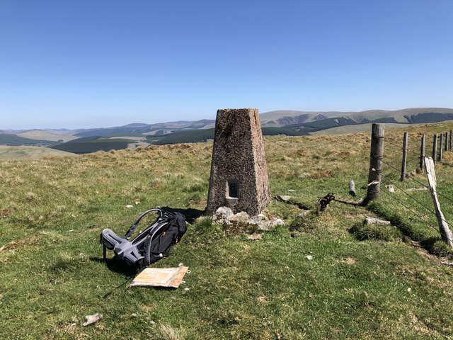
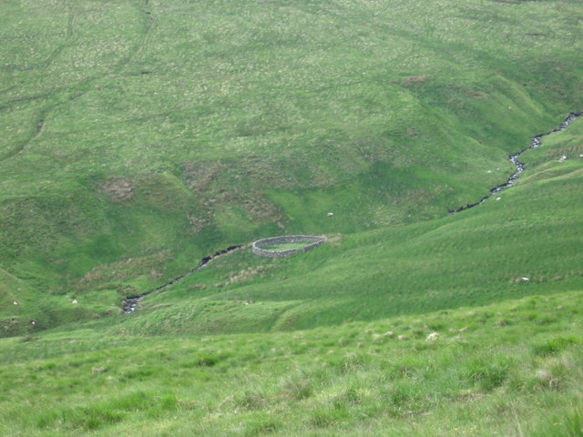
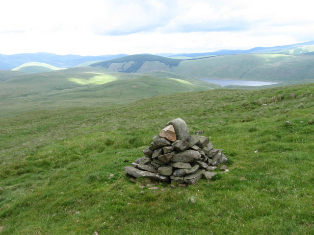
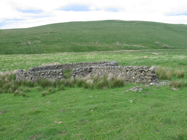
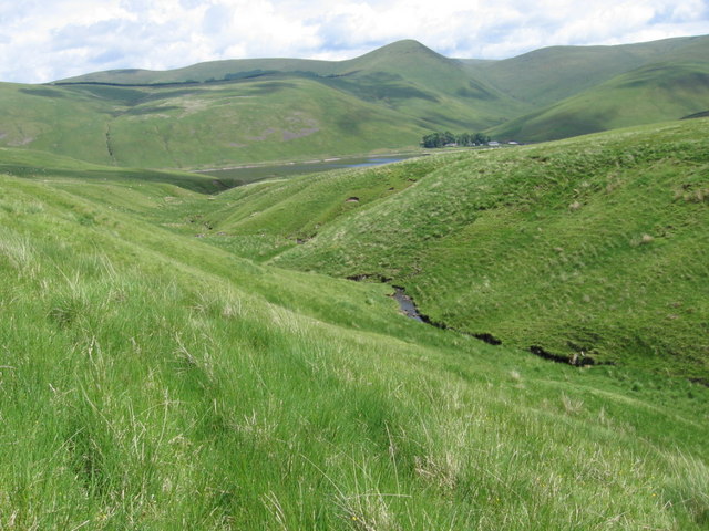
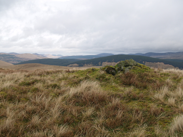
Rising to an elevation of approximately 500 meters, Falla Moss boasts a distinctive silhouette against the sky. Its summit is marked by a scattering of boulders and heather, adding to the wild and untamed character of the hill/mountain. The terrain is primarily composed of moorland, with patches of grass and moss-covered rocks interspersed throughout.
Hikers and nature enthusiasts are drawn to Falla Moss for its challenging trails and the opportunity to immerse themselves in unspoiled wilderness. The hill/mountain offers a variety of routes, catering to both beginners and experienced climbers. As one ascends, the surrounding landscape gradually reveals itself, with stunning vistas of rolling hills, scattered lochs, and distant peaks.
Falla Moss is also home to a diverse array of flora and fauna. Visitors may come across heather, gorse, and bracken, providing a burst of color amidst the rugged landscape. Wildlife such as red deer, mountain hares, and various bird species can often be spotted, making Falla Moss a haven for nature lovers and photographers alike.
Overall, Falla Moss stands as a majestic and untamed natural wonder, inviting adventurers to explore its challenging trails and immerse themselves in the breathtaking beauty of the Scottish Borders.
If you have any feedback on the listing, please let us know in the comments section below.
Falla Moss Images
Images are sourced within 2km of 55.4354/-3.4499801 or Grid Reference NT0816. Thanks to Geograph Open Source API. All images are credited.


Falla Moss is located at Grid Ref: NT0816 (Lat: 55.4354, Lng: -3.4499801)
Unitary Authority: The Scottish Borders
Police Authority: The Lothians and Scottish Borders
What 3 Words
///cubs.mainland.positions. Near Moffat, Dumfries & Galloway
Nearby Locations
Related Wikis

Fruid Reservoir
Fruid is a small reservoir in the Scottish Borders area of Scotland, UK, near Menzion. It is formed by damming the Fruid Water, and supplements the contents...

Annanhead Hill
Annanhead Hill is a 478-metre (1,568 ft) summit in the Moffat Hills of Scotland. It lies on the boundary between the Scottish Borders and Dumfries and...

Hart Fell
Hart Fell is a hill in the Moffat Hills range, part of the Southern Uplands of Scotland. It lies north of the town of Moffat on the border with the Scottish...

Devil's Beef Tub
The Devil's Beef Tub (Marquis of Annandale's Beef-Tub, Beef-Stand, MacCleran's Loup) is a deep, dramatic hollow in the hills north of the Scottish town...
Have you been to Falla Moss?
Leave your review of Falla Moss below (or comments, questions and feedback).