Black Mount
Hill, Mountain in Lanarkshire
Scotland
Black Mount

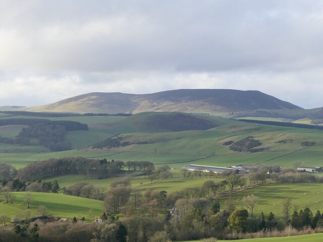
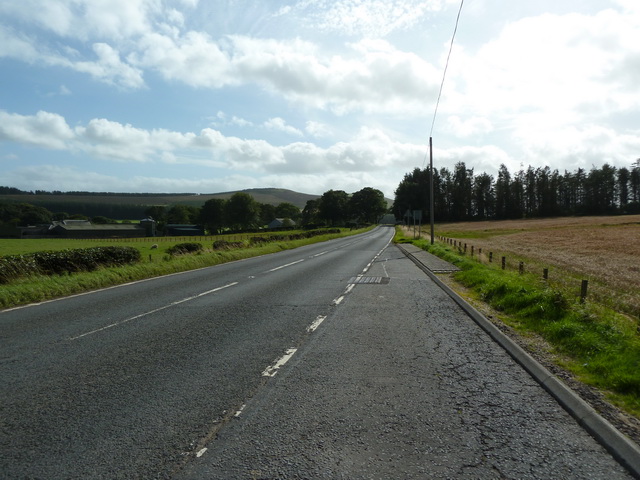
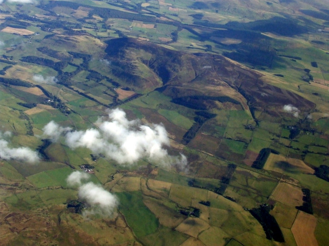
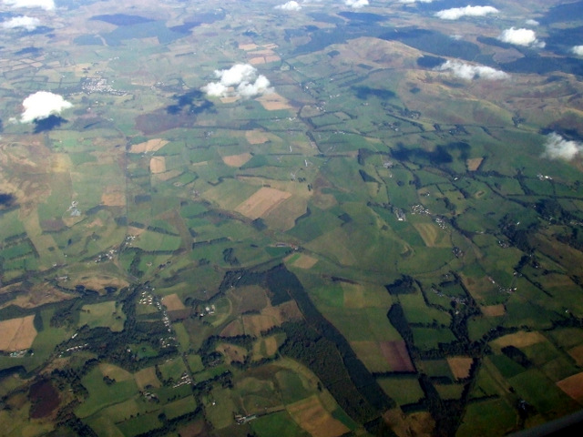
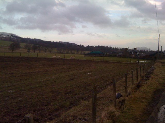
Black Mount is a prominent hill located in Lanarkshire, Scotland. Sitting at an elevation of 746 meters (2,448 feet), it forms part of the Southern Uplands range, which stretches across the southern region of the country. The hill is situated near the small village of Elvanfoot, approximately 14 kilometers (8.7 miles) south of the town of Biggar.
Black Mount is known for its distinctive conical shape and striking appearance, making it a popular destination for hikers and outdoor enthusiasts. The hill is composed primarily of sedimentary rocks, with layers of sandstone and shale visible along its slopes.
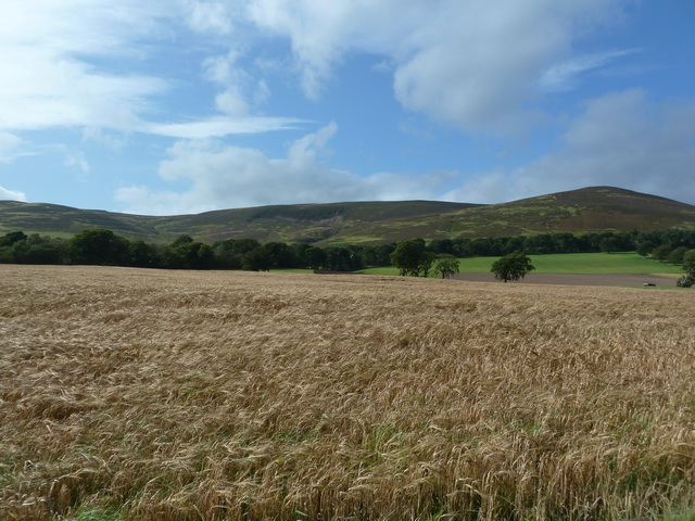
The summit of Black Mount offers breathtaking panoramic views of the surrounding countryside, including the picturesque Clyde Valley and the rolling hills of Lanarkshire. On a clear day, it is possible to see as far as the Tinto Hill and the Pentland Hills in the distance.
The area surrounding Black Mount is rich in flora and fauna, with various species of heather, grasses, and wildflowers covering the hillside. The hill provides a habitat for a diverse range of wildlife, including red grouse, mountain hares, and various bird species.
Black Mount is a popular destination for hillwalkers and climbers, with several well-marked routes leading to the summit. These routes vary in difficulty, offering options for both experienced hikers and those seeking a more leisurely stroll.
Overall, Black Mount is a striking and accessible hill in Lanarkshire, offering stunning views and a chance to immerse oneself in the natural beauty of the Scottish countryside.
If you have any feedback on the listing, please let us know in the comments section below.
Black Mount Images
Images are sourced within 2km of 55.698408/-3.4654325 or Grid Reference NT0745. Thanks to Geograph Open Source API. All images are credited.


Black Mount is located at Grid Ref: NT0745 (Lat: 55.698408, Lng: -3.4654325)
Unitary Authority: South Lanarkshire
Police Authority: Lanarkshire
What 3 Words
///available.yummy.texts. Near West Linton, Scottish Borders
Nearby Locations
Related Wikis

Walston, South Lanarkshire
Walston is a hamlet in the middle of black mount area of South Lanarkshire. == History == Patrick Molleson in the Old Statistical Account records that...

Dunsyre railway station
Dunsyre railway station served the village of Dunsyre, South Lanarkshire, Scotland from 1867 to 1945 on the Dolphinton branch. == History == The station...

Dunsyre
Dunsyre (Scottish Gaelic: Dùn Saghair) is a village in South Lanarkshire, Scotland. It is 10 kilometres (6 mi) from Carnwath. Dunsyre is associated with...

Dolphinton
Dolphinton is a village and parish in Lanarkshire, Scotland. It is located 7 miles (11 km) northeast of Biggar, 11 miles (18 km) northeast of Carstairs...
Related Videos
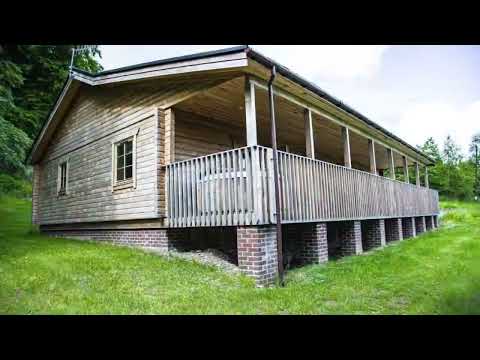
Merklands Wood Luxury Lodges
Merklands Wood Luxury Lodges are 100 % family owned, 100 % family run and 100 % family friendly. Alder and Aspen lodges ...
Nearby Amenities
Located within 500m of 55.698408,-3.4654325Have you been to Black Mount?
Leave your review of Black Mount below (or comments, questions and feedback).