Horsforth

Settlement in Yorkshire

England

Horsforth

Scotland, Yorkshire An old cottage and adjoining stable at the hamlet of Scotland, the hamlet is directly under the flight path from Leeds Bradford Airport.
Scotland, Yorkshire Credit: Mick Melvin

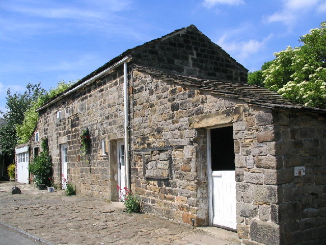
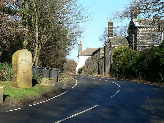
Horsforth is a suburb located in the city of Leeds, West Yorkshire, England. Situated around five miles northwest of Leeds city center, it is a vibrant and bustling area with a rich history. Horsforth is known for its picturesque landscapes, attractive architecture, and strong community spirit.

The suburb offers a range of amenities and facilities for residents and visitors alike. Horsforth boasts a variety of shops, including popular retail chains and independent boutiques, as well as a thriving local market. The area is also home to numerous restaurants, cafes, and pubs, providing a diverse selection of culinary options.

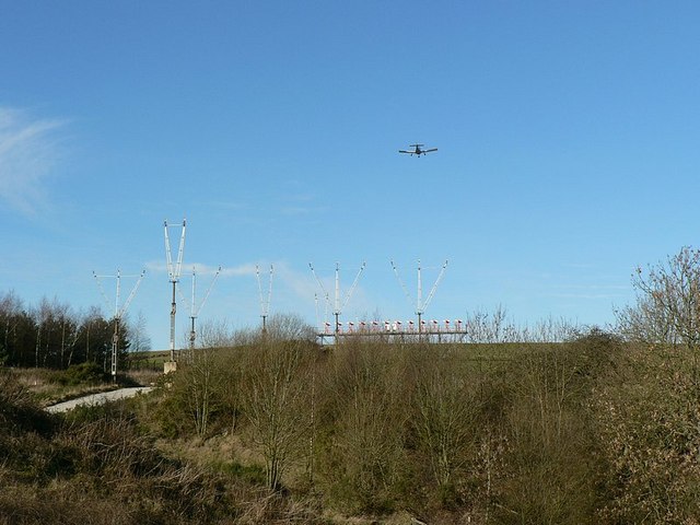
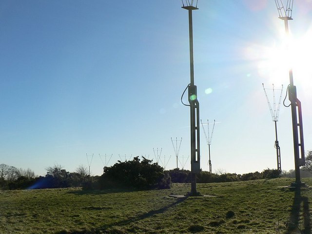
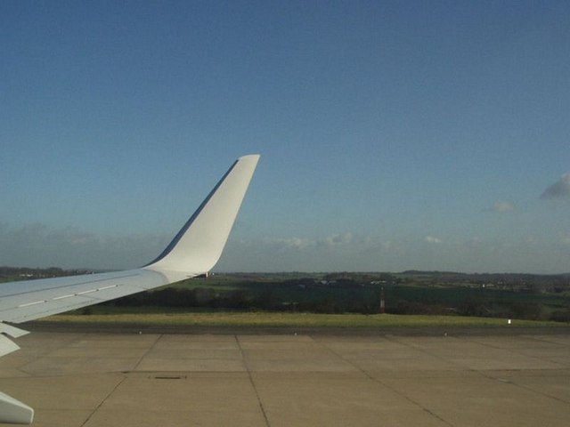
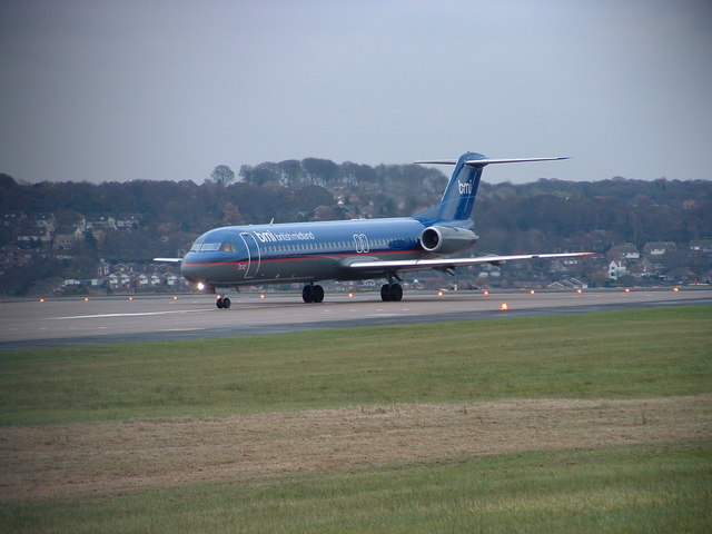
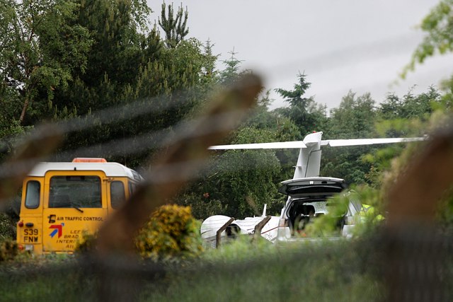
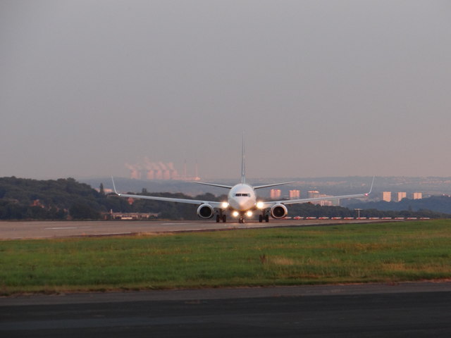
Horsforth is well-connected in terms of transportation, with easy access to Leeds city center via frequent bus services and a train station that links the suburb to various destinations across Yorkshire. Additionally, the nearby Leeds Bradford Airport offers convenient international travel options.

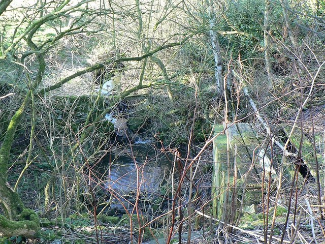
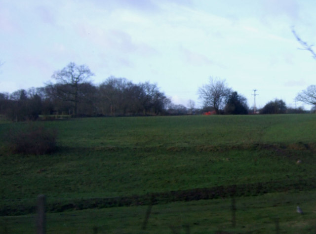
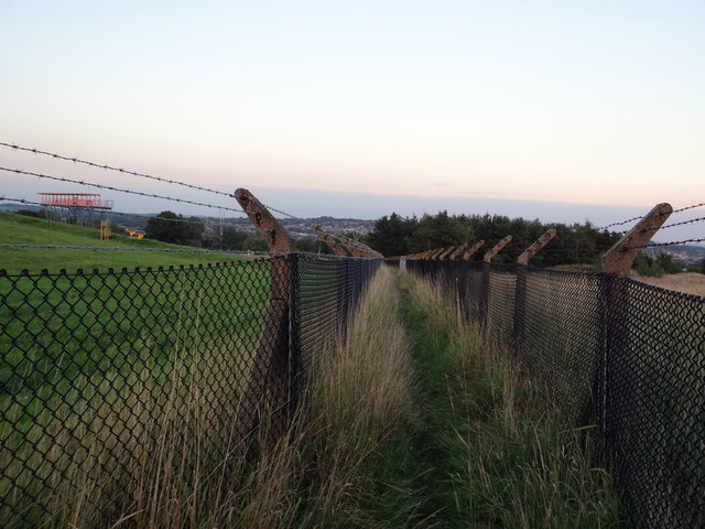
Nature enthusiasts will appreciate the beautiful green spaces that Horsforth has to offer. The suburb is surrounded by stunning countryside, including the scenic Horsforth Hall Park and the picturesque Horsforth Vale. The area also benefits from being close to the Yorkshire Dales National Park, providing ample opportunities for outdoor activities such as hiking, cycling, and picnicking.

Horsforth is home to a number of schools, making it an attractive location for families. The suburb has a strong sense of community, with various local events and activities organized throughout the year, fostering a welcoming and inclusive atmosphere.

Overall, Horsforth offers a well-balanced lifestyle, combining the tranquility of its natural surroundings with the convenience of modern amenities, making it a desirable place to live or visit in Yorkshire.

If you have any feedback on the listing, please let us know in the comments section below.
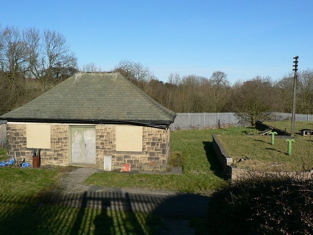
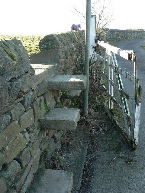
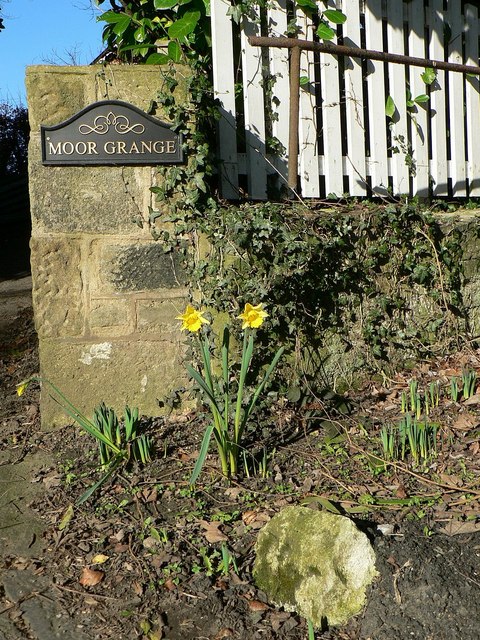
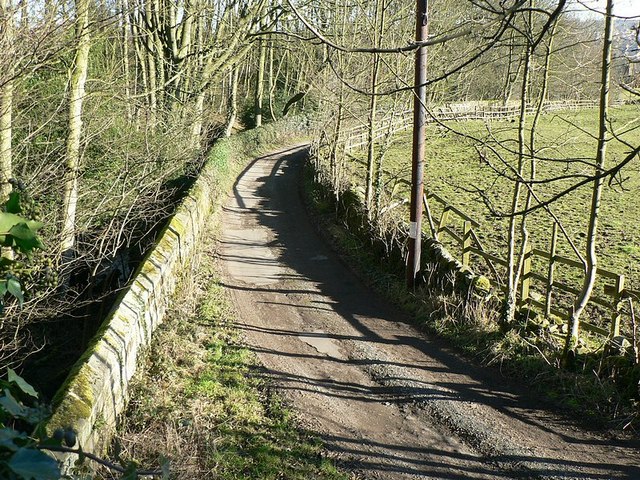
Horsforth Images

Images are sourced within 2km of 53.842307/-1.64433 or Grid Reference SE2338. Thanks to Geograph Open Source API. All images are credited.

Scotland, Yorkshire An old cottage and adjoining stable at the hamlet of Scotland, the hamlet is directly under the flight path from Leeds Bradford Airport.
Scotland, Yorkshire
An old cottage and adjoining stable at the hamlet of Scotland, the hamlet is directly under the flight path from Leeds Bradford Airport.
Scotland Scotland Lane as it passes through the hamlet of Scotland, by the entrance to Moor Grange Farm.
Scotland
Scotland Lane as it passes through the hamlet of Scotland, by the entrance to Moor Grange Farm.
Approach lights, Leeds Bradford Airport The final approach lights at the south-east end of the main runway (runway 32) at Leeds Bradford International Airport. A light aircraft coming in to land over the lights.
Approach lights, Leeds Bradford Airport
The final approach lights at the south-east end of the main runway (runway 32) at Leeds Bradford International Airport. A light aircraft coming in to land over the lights.
Approach lights, Leeds Bradford Airport Looking south-east, with the end of runway 32 behind my right side.
Approach lights, Leeds Bradford Airport
Looking south-east, with the end of runway 32 behind my right side.
Reservoir and pump house(?) On the right is a small covered reservoir. The building presumably houses pumps and so on.
Reservoir and pump house(?)
On the right is a small covered reservoir. The building presumably houses pumps and so on.
Stone stile and broken gate On the private road / public footpath from Scotland Lane, past the stable and houses at <a href="https://www.geograph.org.uk/photo/20878">SE2340 : Scotland, Yorkshire</a>, leading to the reservoir <a href="https://www.geograph.org.uk/photo/328420">SE2340 : Reservoir and pump house(?)</a>. The post by the stile has a "Public Footpath" sign at the top.
Stone stile and broken gate
On the private road / public footpath from Scotland Lane, past the stable and houses at SE2340 : Scotland, Yorkshire, leading to the reservoir SE2340 : Reservoir and pump house(?). The post by the stile has a "Public Footpath" sign at the top.
Very early daffodils, Scotland, Yorkshire By the entrance to Moor Grange on Scotland Lane, in the hamlet of Scotland near Horsforth.
Very early daffodils, Scotland, Yorkshire
By the entrance to Moor Grange on Scotland Lane, in the hamlet of Scotland near Horsforth.
The lane to Owlet Farm Looking down from Scotland Lane
The lane to Owlet Farm
Looking down from Scotland Lane
Scotland Beck Looking down from Scotland Lane as the Beck flows into the culvert under the road.
Scotland Beck
Looking down from Scotland Lane as the Beck flows into the culvert under the road.
South-east end, Runway 32, Leeds Bradford Airport From Ryanair Boeing 737 as it turns round for take off. The approach lights can just be seen beyond the concrete, see also <a href="https://www.geograph.org.uk/photo/328410">SE2340 : Approach lights, Leeds Bradford Airport</a>
South-east end, Runway 32, Leeds Bradford Airport
From Ryanair Boeing 737 as it turns round for take off. The approach lights can just be seen beyond the concrete, see also SE2340 : Approach lights, Leeds Bradford Airport
Leeds-Bradford International Airport  (Main Runway) This shot was taken from a footpath which is just outside the perimeter fence around the south-east corner of the airport.
Leeds-Bradford International Airport (Main Runway)
This shot was taken from a footpath which is just outside the perimeter fence around the south-east corner of the airport.
Crashed Cessna Citation Cessna Citation N646VP, which was departing for Cannes, in trees after aborted take off at about 1750 BST June 7, 2010 at Leeds Bradford Airport. Photo taken at midday on the following day.

The aircraft was attempting to depart from runway 14 and left the end of the runway, crashed through the airport perimeter fence before ending up in the trees near the runway 32 threshold. 

The two men on-board were not injured.
Crashed Cessna Citation
Cessna Citation N646VP, which was departing for Cannes, in trees after aborted take off at about 1750 BST June 7, 2010 at Leeds Bradford Airport. Photo taken at midday on the following day. The aircraft was attempting to depart from runway 14 and left the end of the runway, crashed through the airport perimeter fence before ending up in the trees near the runway 32 threshold. The two men on-board were not injured.
Grazing land near Cookridge
Footpath - Moseley Wood Gardens
Localizer Antenna Runway 32/14, at  Leeds Bradford Airport Localizer Antenna is part of the instrument landing system (ILS) a ground-based instrument approach system that provides precision guidance to an aircraft approaching and landing on a runway, using a combination of radio signals.
Localizer Antenna Runway 32/14, at Leeds Bradford Airport
Localizer Antenna is part of the instrument landing system (ILS) a ground-based instrument approach system that provides precision guidance to an aircraft approaching and landing on a runway, using a combination of radio signals.
Approach lights, Leeds Bradford Airport
Smile! Ryanair aircraft EI-ENM smiles broadly for the camera as it turns at the east end of Leeds Bradford Airport ready for take-off.
Smile!
Ryanair aircraft EI-ENM smiles broadly for the camera as it turns at the east end of Leeds Bradford Airport ready for take-off.
Rat run It's easy to stick to the footpath at the eastern end of the runway at Leeds Bradford Airport.
Rat run
It's easy to stick to the footpath at the eastern end of the runway at Leeds Bradford Airport.
Show me another place!

Horsforth is located at Grid Ref: SE2338 (Lat: 53.842307, Lng: -1.64433)

Division: West Riding

Unitary Authority: Leeds

Police Authority: West Yorkshire

What 3 Words

///casino.jukebox.third. Near Horsforth, West Yorkshire

Nearby Locations

Horsforth Horsforth

Related Wikis

Horsforth School

Horsforth School is a science specialist secondary school with academy status in Leeds, West Yorkshire, England. Opened in 1972 and located in Horsforth...

Horsforth

Horsforth is a town and civil parish in the City of Leeds, West Yorkshire, England, five miles north-west of Leeds city centre. Historically a village...

Grove Methodist Church

The Grove Methodist Church is a Grade II listed Methodist church in the village of Horsforth, Leeds, England, part of the Leeds South and West Methodist...
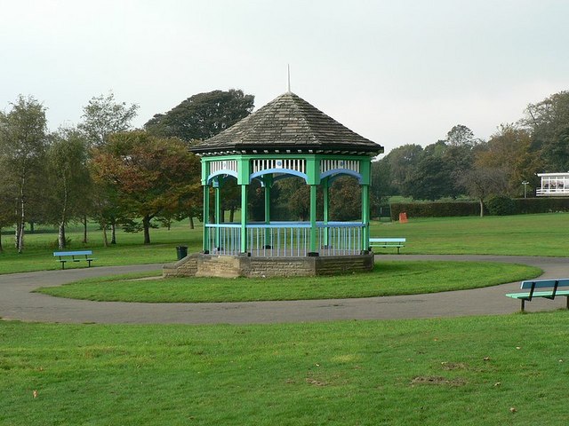
Horsforth Hall Park

Horsforth Hall Park is a large community park in Horsforth, West Yorkshire, England, approximately six miles from Leeds city centre. The park's attractions...

Hall Park Ground

Hall Park Ground in Horsforth, near Leeds, Yorkshire, England is a cricket ground. The ground was the location of a first-class cricket match in August...

Leeds Trinity University

Leeds Trinity University is a public university in Horsforth, Leeds, West Yorkshire, England. Originally established to provide qualified teachers to Catholic...

Horsforth railway station

Horsforth railway station serves the town of Horsforth in West Yorkshire, England. It is a stop on the Harrogate Line, 5.75 miles (9 km) north-west of...

Horsforth Golf Club

Horsforth Golf Club is a golf club in the town of Horsforth in West Yorkshire, England. It is located next to Leeds Bradford Airport. It was established...

Nearby Amenities

Located within 500m of 53.842307,-1.64433
Turning Circle
Lat/Long: 53.8403554/-1.6495926
Turning Circle
Lat/Long: 53.8401548/-1.6485645
Bus Stop
Church Avenue St Margarets Avenue
Bench: yes
Bin: no
Bus: yes
Local Ref: 45013140
Naptan AtcoCode: 450013140
Naptan Bearing: NE
Naptan CommonName: Church Avenue St Margarets Avenue
Naptan Crossing: St Margarets Avenue
Naptan Indicator: Stop 45013140
Naptan PlusbusZoneRef: LEEDS
Naptan ShortCommonName: St. Margarets Av
Naptan Street: Church Avenue
Naptan Verified: no
Public Transport: platform
Shelter: yes
Source: naptan_import
Lat/Long: 53.8416445/-1.6372687
Bus Stop
Church Road Church Crecsent
Bench: yes
Bin: yes
Bus: yes
Lit: yes
Local Ref: 45013193
Naptan AtcoCode: 450013193
Naptan Bearing: NE
Naptan CommonName: Church Road Church Crecsent
Naptan Crossing: Church Crescent
Naptan Indicator: Stop 45013193
Naptan Landmark: Morrisons
Naptan PlusbusZoneRef: LEEDS
Naptan ShortCommonName: Church Crescent
Naptan Street: Church Road
Naptan Verified: no
Public Transport: platform
Shelter: yes
Source: naptan_import
Lat/Long: 53.8389163/-1.6418829
Bus Stop
Church Avenue North Broadgate Lane
Bench: no
Bin: no
Bus: yes
Local Ref: 45023958
Naptan AtcoCode: 450023958
Naptan Bearing: SW
Naptan CommonName: Church Avenue North Broadgate Lane
Naptan Crossing: North Broadgate Lane
Naptan Indicator: Stop 45023958
Naptan PlusbusZoneRef: LEEDS
Naptan ShortCommonName: North Broadgate Ln
Naptan Street: Church Avenue
Naptan Verified: no
Public Transport: platform
Shelter: no
Source: naptan_import
Lat/Long: 53.8416255/-1.6369345
Bus Stop
St Margarets School
Bench: no
Bin: no
Bus: yes
Local Ref: 45026209
Naptan AtcoCode: 450026209
Naptan Bearing: SW
Naptan CommonName: St Margarets School
Naptan Crossing: Church Lane
Naptan Indicator: Stop 45026209
Naptan Landmark: St Margarets C of E School
Naptan PlusbusZoneRef: LEEDS
Naptan ShortCommonName: Church Lane
Naptan Street: Church Road
Naptan Verified: no
Public Transport: platform
Shelter: no
Source: naptan_import
Lat/Long: 53.8398949/-1.6398325
Turning Circle
Lat/Long: 53.8387027/-1.6423933
Turning Circle
Source: Bing
Lat/Long: 53.8389384/-1.6433562
Barrier: kissing_gate
Lat/Long: 53.8445723/-1.6447293
Turning Circle
Lat/Long: 53.8405604/-1.6447794
Barrier: bollard
Lat/Long: 53.8451164/-1.6466007
Turning Circle
Lat/Long: 53.8406426/-1.6431101
Turning Circle
Lat/Long: 53.8399881/-1.6443895
Crossing
Button Operated: yes
Crossing: traffic_signals
Crossing Island: no
Tactile Paving: yes
Traffic Signals Vibration: yes
Lat/Long: 53.8401017/-1.6397096
Turning Circle
Lat/Long: 53.8456083/-1.6408782
Traffic Calming: table
Lat/Long: 53.8424784/-1.6376344
Turning Circle
Lat/Long: 53.8439525/-1.6377715
Entrance: main
Lat/Long: 53.8425407/-1.6405777
Crossing
Button Operated: yes
Crossing: traffic_signals
Crossing Island: no
Crossing Ref: pelican
Kerb: flush
Tactile Paving: yes
Traffic Signals Sound: yes
Traffic Signals Vibration: yes
Lat/Long: 53.8390045/-1.6415678
Waterway: waterfall
Lat/Long: 53.8386242/-1.647949
Auriole Hair Salon
Addr City: Leeds
Addr Housenumber: 85D
Addr Postcode: LS18 5BP
Addr Street: Town Street
Addr Suburb: Horsforth
Female: yes
Opening Hours: Tu-Fr 09:30-18:00; Sa 08:00-16:00; Su-Mo closed
Phone: +44 113 259 0912
Shop: hairdresser
Website: http://www.auriolehair.co.uk/
Lat/Long: 53.8389018/-1.6393935
Cafe
The Greenhouse Horsforth
Addr City: Leeds
Addr Housenumber: 85E
Addr Postcode: LS18 5BP
Addr Street: Town Street
Addr Suburb: Horsforth
Diet Vegan: only
Fhrs Id: 1522948
Old Name: Horsforth Footcare Centre
Opening Hours: Mo-Sa 09:00-16:00; Su 10:00-16:00
Website: https://www.thegreenhousehorsforth.co.uk/
Lat/Long: 53.8389274/-1.6393536
Beauty By Emily
Addr City: Leeds
Addr Housenumber: 87
Addr Postcode: LS18 5BP
Addr Street: Town Street
Addr Suburb: Horsforth
Check Date Opening Hours: 2023-02-17
Opening Hours: Tu,Fr 10:00-18:00; We-Th 10:00-20:00; Sa 09:00-15:00; Su-Mo closed
Phone: +44 113 258 8120
Shop: beauty
Website: https://beautybyemily.net/
Lat/Long: 53.8390037/-1.6392761
TaxAssist Accountants
Addr City: Leeds
Addr Housenumber: 89
Addr Postcode: LS18 5BP
Addr Street: Town Street
Addr Suburb: Horsforth
Brand: TaxAssist Accountants
Brand Wikidata: Q122459380
Check Date Opening Hours: 2024-02-19
Office: accountant
Opening Hours: Sa,Su off; Mo-Fr 09:15-16:45
Phone: +44 113 226 9680
Website: https://www.taxassist.co.uk/accountants/horsforth
Lat/Long: 53.8391625/-1.6389861
Squire
Addr City: Leeds
Addr Housenumber: 91
Addr Postcode: LS18 5BP
Addr Street: Town Street
Addr Suburb: Horsforth
Male: yes
Opening Hours: Mo 08:00-17:00; Tu 08:15-17:00; We 08:15-17:00; Th 08:15-18:00; Fr 08:15-18:00; Sa 07:00-15:00
Phone: +44 113 259 0605
Shop: hairdresser
Lat/Long: 53.8391902/-1.6389405
Fast Food
Chicago Pizza
Addr City: Leeds
Addr Housenumber: 93
Addr Postcode: LS18 5BP
Addr Street: Town Street
Addr Suburb: Horsforth
Delivery: yes
Drive Through: no
Fhrs Id: 1512846
Opening Hours: Mo-Th 17:00-24:00; Fr 17:00-02:00, Sa 17:00-02:00, Su 17:00-24:00
Phone: +44 113 281 8800
Smoking: no
Takeaway: yes
Website: https://chicagopizzaleeds.com/
Lat/Long: 53.8392267/-1.6388724
Addr City: Leeds
Addr Housenumber: 95
Addr Postcode: LS18 5BP
Addr Street: Town Street
Addr Suburb: Horsforth
Check Date: 2024-02-19
Disused Shop: yes
Lat/Long: 53.8392643/-1.6388078
Defibrillator
Access: code
Defibrillator Location: On the outside wall near trolley park. Has a keypad for access.
Emergency: defibrillator
Indoor: no
Ref GB The Circuit: 801DF2DE-BC09-4870-8C3F-ADC30080CD22
Lat/Long: 53.8385302/-1.6408139
Horsforth
Is In: UK, Yorkshire, West Yorkshire, Airedale
Place: town
Wikidata: Q747807
Wikipedia: en:Horsforth
Lat/Long: 53.8392125/-1.6399896
Crossing
Crossing: uncontrolled
Crossing Ref: zebra
Lat/Long: 53.8389569/-1.6406553
Crossing
Crossing: uncontrolled
Crossing Ref: zebra
Lat/Long: 53.8388459/-1.6404878
Crossing
Crossing: uncontrolled
Crossing Ref: zebra
Tactile Paving: yes
Lat/Long: 53.8386484/-1.6408625
Crossing
Crossing: uncontrolled
Crossing Ref: zebra
Tactile Paving: yes
Lat/Long: 53.8387527/-1.6410275
Crossing
Crossing: uncontrolled
Crossing Ref: zebra
Tactile Paving: yes
Lat/Long: 53.8388594/-1.6411932
Crossing
Crossing: uncontrolled
Crossing Ref: zebra
Tactile Paving: yes
Lat/Long: 53.8389681/-1.6413576
Entrance: main
Lat/Long: 53.8383685/-1.6411298
Childcare
Time Out After School Club
Addr City: Leeds
Addr Housename: St Margarets C Of E Primary School
Addr Postcode: LS18 5LB
Addr Street: Town Street
Addr Suburb: Horsforth
Fhrs Id: 321301
Lat/Long: 53.8396729/-1.6390792
Childcare
Ducklings At St Margarets
Addr City: Leeds
Addr Housename: St Margarets C Of E Primary School
Addr Postcode: LS18 5LB
Addr Street: Town Street
Addr Suburb: Horsforth
Fhrs Id: 321347
Lat/Long: 53.839608/-1.6392052
Waste Basket
Collection Times: weekly
Ref UK Leedscc Bin: 3329
Lat/Long: 53.839284/-1.638821
Waste Basket
Collection Times: weekly
Ref UK Leedscc Bin: 642
Lat/Long: 53.839851/-1.638071
Pinnacle Group
Addr City: Leeds
Addr Housename: St Margaret's Primary School
Addr Postcode: LS18 5LA
Addr Street: Town Street
Addr Suburb: Horsforth
Craft: caterer
Fhrs Id: 1208439
Lat/Long: 53.8396404/-1.6391435
Bicycle Parking
Bicycle Parking: stands
Capacity: 10
Covered: no
Lat/Long: 53.8383815/-1.641209
Leisure: pitch
Sport: cricket
Lat/Long: 53.8427064/-1.6424829
Information: guidepost
Tourism: information
Lat/Long: 53.8444699/-1.6448542
Information: guidepost
Tourism: information
Lat/Long: 53.8446181/-1.644697
Bench
Backrest: yes
Material: wood
Lat/Long: 53.8441136/-1.6445879
Direction: 140
Tourism: viewpoint
Lat/Long: 53.8440907/-1.644531
Give Way
Direction: forward
Lat/Long: 53.8410678/-1.6385182
Give Way
Direction: backward
Lat/Long: 53.8414697/-1.6377567
Parking
Access: private
Parking: surface
Lat/Long: 53.8428451/-1.6404772
Crossing
Crossing: unmarked
Crossing Island: no
Tactile Paving: yes
Lat/Long: 53.8442364/-1.6409997
Crossing
Crossing: unmarked
Crossing Island: no
Tactile Paving: yes
Lat/Long: 53.8441325/-1.6409934
Crossing
Crossing: unmarked
Crossing Island: no
Crossing Markings: no
Kerb: flush
Tactile Paving: yes
Lat/Long: 53.8425804/-1.6375622
Crossing
Crossing: unmarked
Crossing Island: no
Crossing Markings: no
Tactile Paving: yes
Lat/Long: 53.8425233/-1.6377735
Crossing
Crossing: unmarked
Crossing Island: no
Crossing Markings: no
Tactile Paving: yes
Lat/Long: 53.8424154/-1.6376983
Crossing
Crossing: unmarked
Crossing Island: no
Crossing Markings: no
Kerb: flush
Tactile Paving: yes
Lat/Long: 53.8424448/-1.6375306
Information: guidepost
Tourism: information
Lat/Long: 53.8420078/-1.6514104
Information: guidepost
Tourism: information
Lat/Long: 53.842216/-1.6494413
Bench
Backrest: no
Material: wood
Lat/Long: 53.8433307/-1.6478433
Waste Basket
Lat/Long: 53.8442088/-1.6412305
Information: map
Tourism: information
Lat/Long: 53.8389447/-1.6491754
Hunger Hills
Information: map
Tourism: information
Lat/Long: 53.8390493/-1.6474261
Crossing
Crossing: unmarked
Crossing Island: no
Tactile Paving: yes
Lat/Long: 53.8390768/-1.6492335
Historic: memorial
Memorial: plaque
Lat/Long: 53.8385442/-1.6468482
Waste Basket
Lat/Long: 53.8429902/-1.6398191
Bench
Backrest: no
Material: wood
Lat/Long: 53.8433647/-1.6466652
Bench
Backrest: no
Material: wood
Lat/Long: 53.8433331/-1.6465713
Information: guidepost
Tourism: information
Lat/Long: 53.841535/-1.646588
Information: guidepost
Tourism: information
Lat/Long: 53.8457112/-1.6436845
Church Road Church Crecsent
Bus: yes
Public Transport: stop_position
Lat/Long: 53.8388539/-1.6418026
Access: no
Barrier: stile
Foot: yes
Material: wood
Stile: stepover
Lat/Long: 53.844602/-1.6447105
Generator Method: photovoltaic
Generator Output Electricity: yes
Generator Source: solar
Generator Type: solar_photovoltaic_panel
Power: generator
Lat/Long: 53.8406138/-1.6380948
Charging Station
Brand: GeniePoint
Capacity: 2
Charge: 0.75 GBP/kWh
Fee: yes
Operator: GeniePoint
Operator Wikidata: Q111363966
Phone: +44 20 3598 4087
Website: https://www.geniepoint.co.uk/
Lat/Long: 53.8386145/-1.6418856
Recycling
Recycling Glass: yes
Recycling Glass Bottles: yes
Recycling Type: container
Lat/Long: 53.8389926/-1.6407738
Entrance: yes
Lat/Long: 53.8402417/-1.6425735
Waste Basket
Lat/Long: 53.8397524/-1.6422278
Parcel Locker
Brand: InPost
Brand Wikidata: Q3182097
Opening Hours: 24/7
Parcel Mail In: yes
Parcel Pickup: yes
Lat/Long: 53.8387581/-1.640498
Bench
Lat/Long: 53.8381428/-1.6471754
Bench
Lat/Long: 53.8381561/-1.647126
Recycling
Recycling Glass Bottles: yes
Recycling Type: container
Lat/Long: 53.838985/-1.6407904
Recycling
Recycling Glass Bottles: yes
Recycling Type: container
Lat/Long: 53.8389998/-1.6407601
Recycling
Operator: Leeds City Council
Recycling Glass Bottles: yes
Recycling Type: container
Lat/Long: 53.8389702/-1.6407566
Recycling
Recycling Glass Bottles: yes
Recycling Type: container
Lat/Long: 53.8389789/-1.640741
Recycling
Recycling Glass Bottles: yes
Recycling Type: container
Lat/Long: 53.8389891/-1.6407203
Recycling
Contact Phone: +44 800 085 4262
Operator: Berryman
Recycling Glass Bottles: yes
Recycling Type: container
Lat/Long: 53.8390167/-1.6408362
Recycling
Operator: Leeds City Council
Recycling Paper: yes
Recycling Type: container
Lat/Long: 53.8390238/-1.6408232
Recycling
Operator: Leeds City Council
Recycling Paper: yes
Recycling Type: container
Lat/Long: 53.8390325/-1.6408103
Recycling
Operator: Morrisons Foundation
Recycling Clothes: yes
Recycling Type: container
Lat/Long: 53.8389968/-1.6408146
Recycling
Brand: The Salvation Army
Brand Wikidata: Q188307
Operator: The Salvation Army
Recycling Clothes: yes
Recycling Shoes: yes
Recycling Type: container
Lat/Long: 53.839006/-1.6407964
Recycling
Operator: Yorkshire Air Ambulance
Recycling Clothes: yes
Recycling Shoes: yes
Recycling Type: container
Lat/Long: 53.8390141/-1.6407817
Church Avenue North Broadgate Lane
Bus: yes
Local Ref: 45023958
Public Transport: stop_position
Lat/Long: 53.8416668/-1.6370389
Church Avenue St Margarets Avenue
Bus: yes
Local Ref: 45013140
Public Transport: stop_position
Lat/Long: 53.841732/-1.6368413
The data included in this document is from www.openstreetmap.org. The data is made available under ODbL.

Have you been to Horsforth?

Leave your review of Horsforth below (or comments, questions and feedback).