Glenmuck Height
Hill, Mountain in Peeblesshire
Scotland
Glenmuck Height
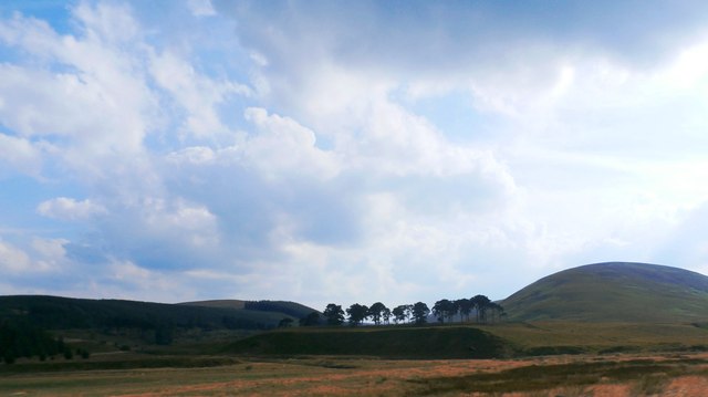
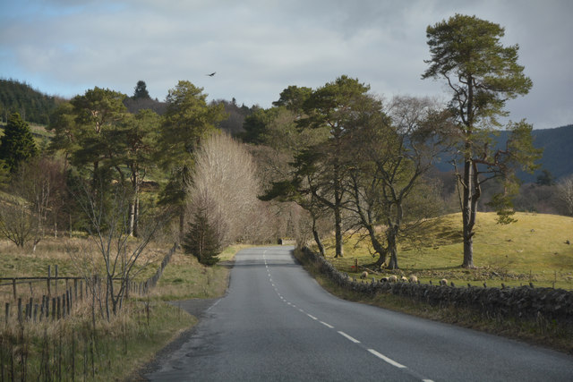
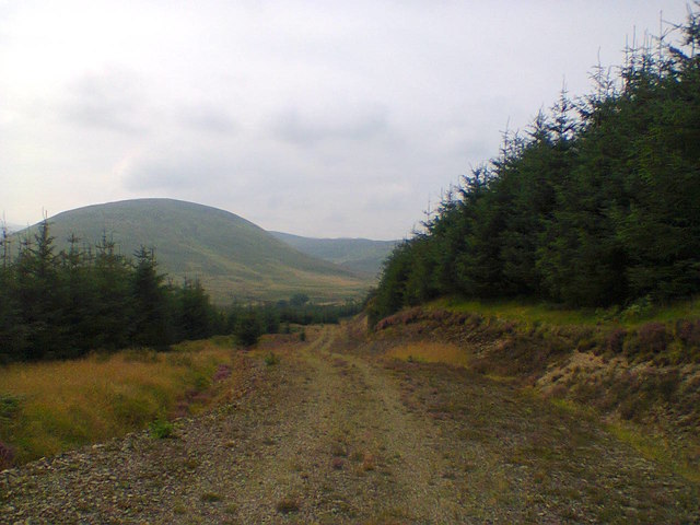
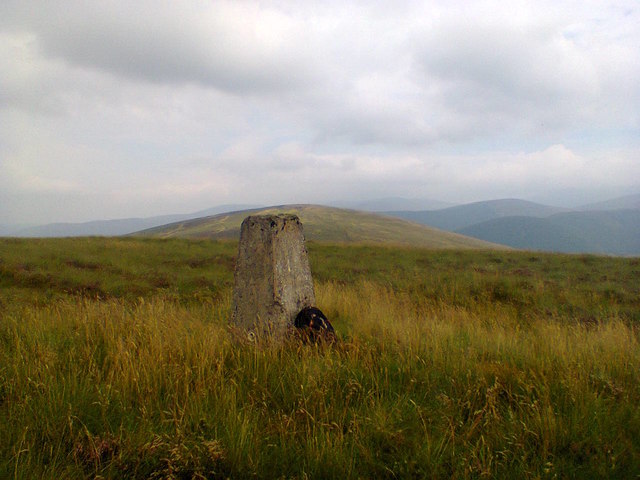
Glenmuck Height is a prominent hill located in the beautiful region of Peeblesshire, Scotland. Situated in the Southern Uplands, it stands at an impressive height of approximately 556 meters (1,824 feet) above sea level. This makes it one of the notable peaks in the area, offering breathtaking views of the surrounding landscape.
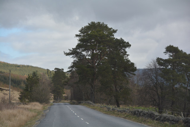
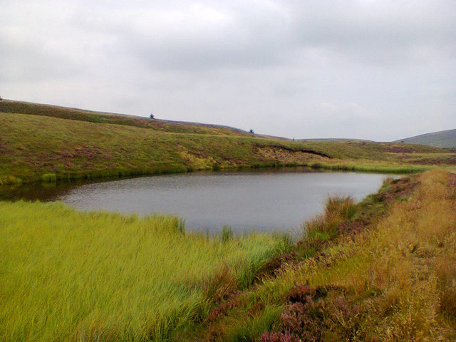
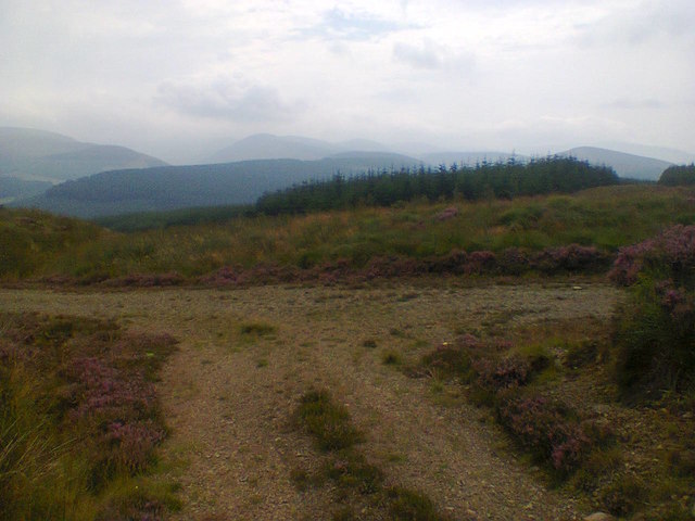
The hill is situated within the Tweedsmuir Forest, an expansive woodland that is home to a diverse range of flora and fauna. Glenmuck Height is characterized by its gently sloping terrain, covered in heather and grasses, providing a picturesque scene throughout the year. The hill's summit is relatively flat, allowing visitors to easily explore and enjoy the stunning panoramas it offers.
Glenmuck Height is a popular destination for outdoor enthusiasts, hikers, and nature lovers. Several well-marked trails lead up to the summit, providing varying levels of difficulty for different skill levels. The ascent to the top is rewarded with panoramic views of the surrounding countryside, including the rolling hills, meandering rivers, and charming villages of Peeblesshire.
Throughout the year, the hill attracts a plethora of wildlife, making it an excellent spot for birdwatching and nature photography. Visitors may encounter various bird species, such as golden eagles, peregrine falcons, and red grouse, as well as other creatures like rabbits, deer, and foxes.
Overall, Glenmuck Height is a remarkable hill in Peeblesshire, offering outdoor enthusiasts a chance to immerse themselves in the natural beauty of the Scottish countryside while enjoying stunning vistas and encountering diverse wildlife.
If you have any feedback on the listing, please let us know in the comments section below.
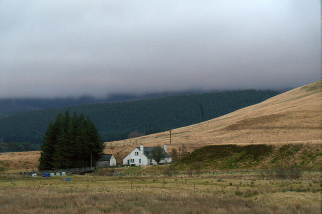
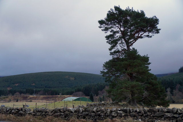
Glenmuck Height Images
Images are sourced within 2km of 55.504281/-3.4696112 or Grid Reference NT0724. Thanks to Geograph Open Source API. All images are credited.


Glenmuck Height is located at Grid Ref: NT0724 (Lat: 55.504281, Lng: -3.4696112)
Unitary Authority: The Scottish Borders
Police Authority: The Lothians and Scottish Borders
What 3 Words
///photocopy.unwraps.galloped. Near Biggar, South Lanarkshire
Nearby Locations
Related Wikis

Gathersnow Hill
Gathersnow Hill is a hill in the Culter Hills range, part of the Southern Uplands of Scotland. It lies west of the village of Tweedsmuir on the border...

Hawkshaw, Scottish Borders
Hawkshaw is a pair of semi-detached houses on the River Tweed, two miles southwest of Tweedsmuir in the Scottish Borders. Historically part of Peeblesshire...

Menzion
Menzion, sometimes Minzion is a small settlement in southern Scotland near Tweedsmuir in the Scottish Borders, in the valley of the River Tweed. ��2...
Tweedsmuir
Tweedsmuir (Scottish Gaelic: Sliabh Thuaidh) is a village and civil parish in Tweeddale, the Scottish Borders Council district, southeastern Scotland....

Oliver Castle
Oliver Castle was a medieval tower house, located in upper Tweedsdale in the Scottish Borders. The site of the hillfort known as Oliver Castle is to the...

Fruid Water
Fruid Water is a river in the Scottish Borders area of Scotland. The valley it occupies has been dammed to form the Fruid Reservoir. The river is a tributary...
Victoria Lodge railway station
Victoria Lodge railway station served the village of Tweedsmuir, Scottish Borders, Scotland from 1897 to 1905 on the Symington, Biggar and Broughton Railway...

Crook Inn
The Crook Inn is an inn in the Scottish Borders, near the village of Tweedsmuir on the A701 road between Broughton and Moffat. It is one of many claimants...
Nearby Amenities
Located within 500m of 55.504281,-3.4696112Have you been to Glenmuck Height?
Leave your review of Glenmuck Height below (or comments, questions and feedback).