Broomknowe
Hill, Mountain in Fife
Scotland
Broomknowe
Broomknowe, located in Fife, Scotland, is a prominent hill known for its stunning natural beauty and panoramic views. Rising to an elevation of approximately 230 meters (750 feet), it forms part of the picturesque Lomond Hills range. Broomknowe is a popular destination for hikers, nature enthusiasts, and photographers seeking to immerse themselves in the tranquility of the Scottish countryside.
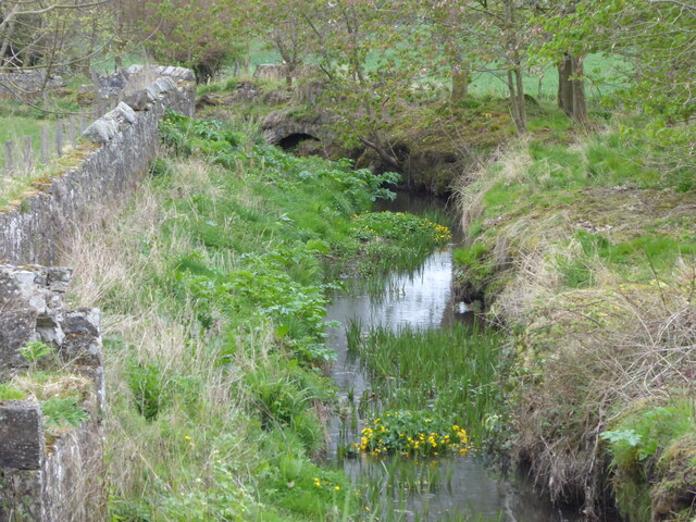
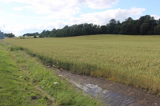
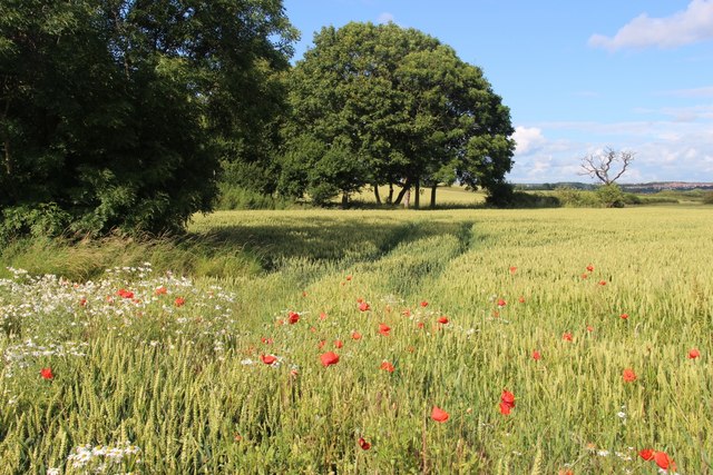
Covered in lush greenery, Broomknowe boasts a diverse range of flora and fauna. The hill is home to a variety of wildflowers, including heather, bluebells, and primroses, which create a vibrant tapestry of colors throughout the seasons. Visitors may also encounter native wildlife such as deer, rabbits, and various bird species, adding to the area's natural charm.
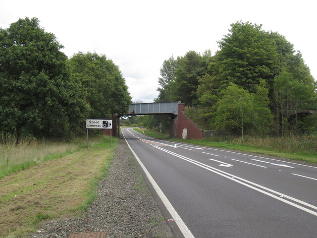
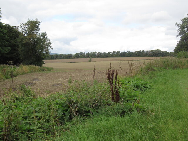
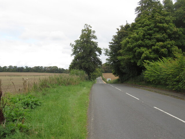
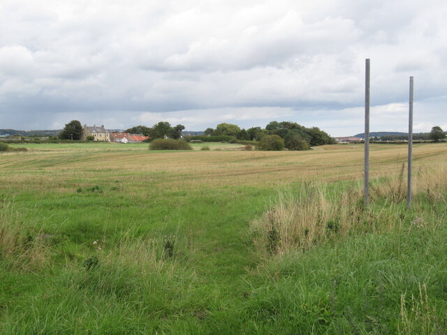
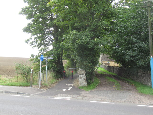
Broomknowe offers several well-marked trails that cater to different fitness levels and preferences. These paths wind their way through woodlands, meadows, and open moorland, providing breathtaking views of the surrounding countryside. On clear days, the hill offers panoramic vistas stretching across Fife, with glimpses of the River Tay and the Firth of Forth in the distance.
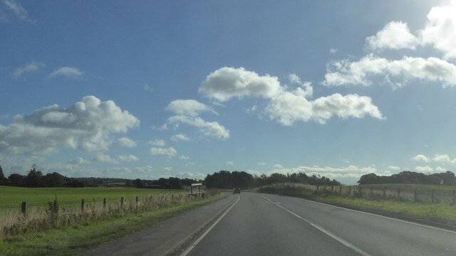
The hill is easily accessible, with a car park situated at the base and nearby public transportation options. Visitors can also explore the charming nearby village of Falkland, known for its historic buildings, including Falkland Palace, a former royal residence. Broomknowe thus provides an excellent opportunity for a day trip, offering a blend of natural beauty, outdoor activities, and cultural exploration.
If you have any feedback on the listing, please let us know in the comments section below.
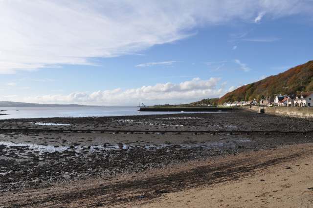
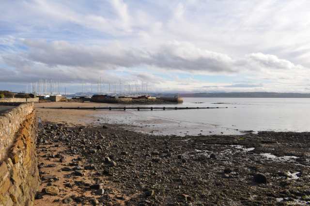
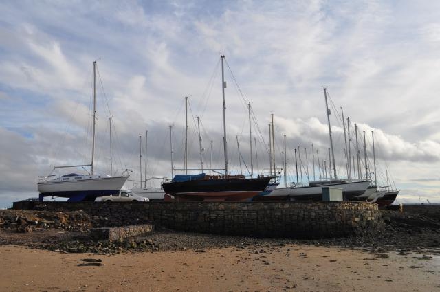
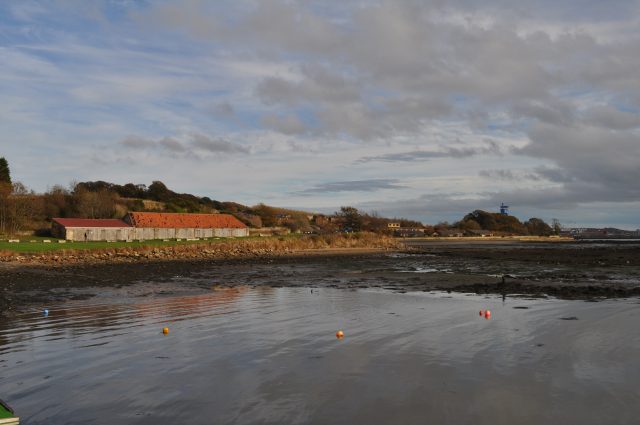
Broomknowe Images
Images are sourced within 2km of 56.039685/-3.4909931 or Grid Reference NT0783. Thanks to Geograph Open Source API. All images are credited.


Broomknowe is located at Grid Ref: NT0783 (Lat: 56.039685, Lng: -3.4909931)
Unitary Authority: Fife
Police Authority: Fife
What 3 Words
///flats.march.kickbacks. Near Limekilns, Fife
Nearby Locations
Related Wikis
Charlestown (KL) railway station
Charlestown railway station served the town of Charlestown, Fife, Scotland from 1894 to 1926 on the Kincardine Line. == History == The station opened on...

Broomhall House
Broomhall House is the family seat of the Earls of Elgin, three miles (4.8 kilometres) south-west of Dunfermline, sitting above the village of Limekilns...
Charlestown railway station (ER)
Charlestown (ER) railway station served the town of Charlestown, Fife, Scotland from 1833 to 1863 on the Elgin Railway. == History == The station opened...
Limekilns
Limekilns is a village in Fife, Scotland. It lies on the shore of the Firth of Forth, around 3 miles (5 km) south of Dunfermline. == History and economy... ==
Pattiesmuir
Pattiesmuir (formerly Pettimuir, Pettymuir and also known as Patiemuir, Patiesmuir and Peattie Muir) is a small, dormitory hamlet located in the west of...
DM Crombie
Defence Munitions Crombie is a military munitions depot on the upper Firth of Forth in West Fife, Scotland. The depot is located on the north shore of...
Crossford, Fife
Crossford is a splendid village in West Fife, Scotland (population in 2011 was 2358). It is 1 mile (1.5 kilometres) west of Dunfermline, east of Cairneyhill...
HMS Scotia (shore establishment)
HMS Scotia is one of the newest Royal Naval Reserve units, formed in 1958, and currently recruiting from the east of Scotland. The unit inhabits spacious...
Nearby Amenities
Located within 500m of 56.039685,-3.4909931Have you been to Broomknowe?
Leave your review of Broomknowe below (or comments, questions and feedback).