Rie Meikle
Hill, Mountain in Perthshire
Scotland
Rie Meikle
Rie Meikle is a hill located in Perthshire, Scotland. It is part of the larger Perthshire Hills, which are known for their stunning landscapes and rich natural heritage. Rie Meikle stands at an elevation of approximately 563 meters (1,847 feet), making it a relatively modest peak compared to some of the towering mountains found in the region.
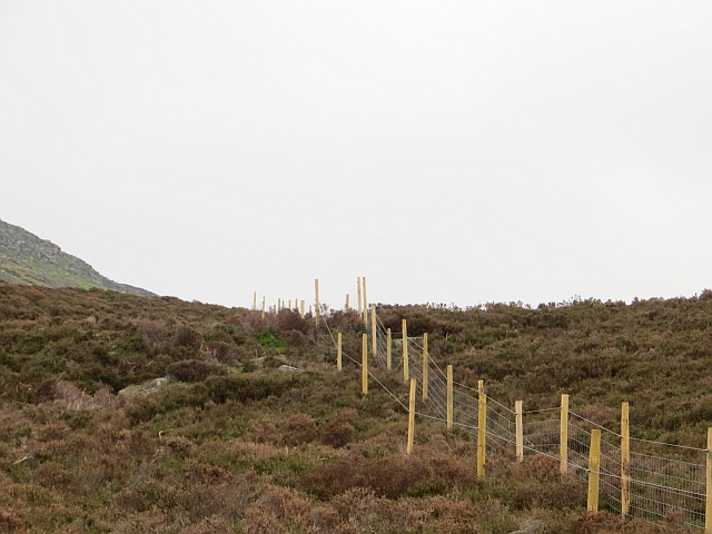
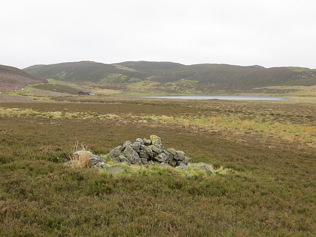
The hill is predominantly composed of grassy slopes and provides a relatively easy hike for outdoor enthusiasts. Its accessible location and well-maintained trails make it a popular destination for locals and visitors alike. From the summit of Rie Meikle, hikers are rewarded with breathtaking panoramic views of the surrounding countryside, including the picturesque Perthshire countryside, rolling hills, and distant mountain ranges.
The hill is also home to a variety of flora and fauna, with heather, bracken, and mosses covering the slopes. Wildlife such as red grouse, mountain hares, and various bird species can often be spotted while exploring the area. Rie Meikle offers a peaceful and tranquil setting, allowing visitors to immerse themselves in the natural beauty of the Scottish Highlands.
Overall, Rie Meikle is a delightful hill in Perthshire, offering a relatively easy hiking experience and stunning views of the surrounding countryside. Whether for a leisurely walk or a more challenging trek, this hill provides an opportunity to connect with nature and experience the rugged beauty of the Scottish landscape.
If you have any feedback on the listing, please let us know in the comments section below.
Rie Meikle Images
Images are sourced within 2km of 56.650486/-3.5152315 or Grid Reference NO0751. Thanks to Geograph Open Source API. All images are credited.


Rie Meikle is located at Grid Ref: NO0751 (Lat: 56.650486, Lng: -3.5152315)
Unitary Authority: Perth and Kinross
Police Authority: Tayside
What 3 Words
///scribbled.thumbnail.shortens. Near Blairgowrie, Perth & Kinross
Nearby Locations
Related Wikis

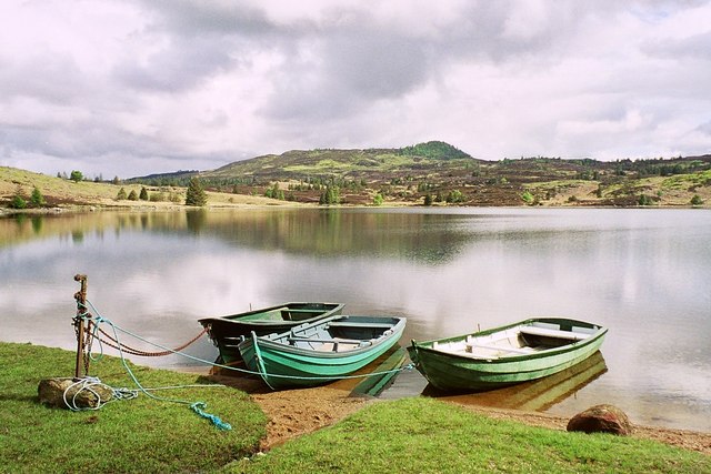
Loch Benachally
Loch Benachally is a large shallow freshwater reservoir that is located close to the Forest of Clunie in Perth and Kinross, Scotland.The reservoir is operated...

Blackcraig Castle
Blackcraig Castle is a Baronial mansion house dating from 1856 in Perthshire, Scotland, close to the towns of Ballintuim and Blairgowrie on the banks of...
Loch Ordie
Loch Ordie is a classic freshwater hill loch east of the River Tay, and surrounded by wooded hills, in the Forest of Clunie. == Fly Fishing == Loch Ordie...

Bridge of Cally
Bridge of Cally is a small village in Kirkmichael parish, Perth and Kinross, Scotland. It sits at the junction of three glens, Glenshee, Strathardle and...

Loch of Butterstone
Loch of Butterstone is a small freshwater loch, almost circular in shape, located within the nature reserve of the Cardney Estate, near Dunkeld in Perth...

River Ardle
The River Ardle (Scottish Gaelic: Abhainn Àrdail) is a tributary of the River Ericht. It runs for 10 miles (16 km) through Strathardle in Perthshire, Scotland...

Valley of Strathmore
Strathmore (Gaelic: An Srath Mòr) is a strath in east central Scotland running from northeast to southwest between the Grampian mountains and the Sidlaws...

Guay railway station
Guay railway station, Dunkeld, Perth and Kinross, Scotland, was located near the hamlet of Guay next to the A9 road and close to the River Tay. The station...
Have you been to Rie Meikle?
Leave your review of Rie Meikle below (or comments, questions and feedback).