Burn Edge
Hill, Mountain in Cumberland Copeland
England
Burn Edge

Burn Edge is a prominent hill located in the Cumberland region of England. Situated in the picturesque village of Cumberland, this hill offers breathtaking views and a rich historical significance. Standing at an elevation of approximately 300 meters, Burn Edge is a popular destination for hikers, nature enthusiasts, and history buffs alike.
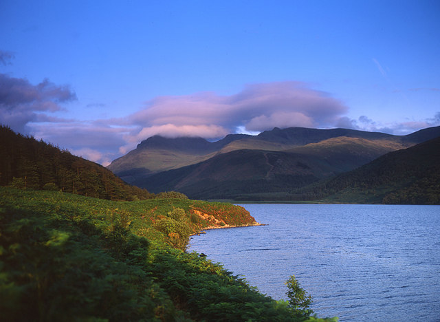
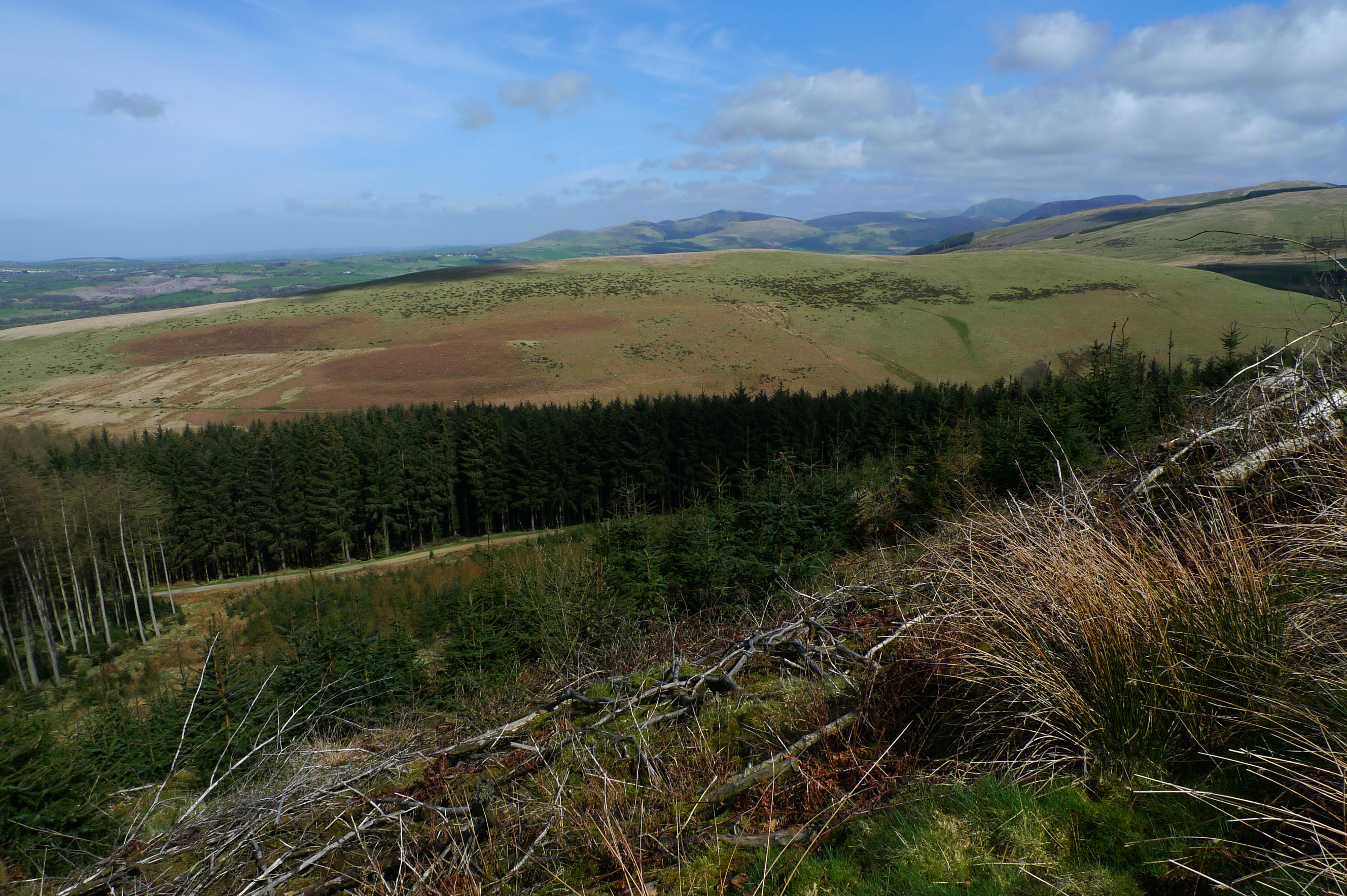
The hill is characterized by its distinctive rugged terrain, with steep slopes covered in heather and grasses. It is part of the expansive North Pennines Area of Outstanding Natural Beauty, attracting visitors with its unspoiled landscapes and diverse wildlife. The hill is also home to several species of birds, including grouse and peregrine falcons, making it a haven for birdwatchers.
One of the notable features of Burn Edge is the presence of ancient settlements and remains dating back to the Bronze Age. Archaeological excavations have uncovered evidence of human activity, such as stone tools and burial sites, providing insight into the hill's historical significance. These findings suggest that the area was inhabited by early communities, who utilized the hill's resources for their livelihood.
Today, Burn Edge offers various recreational activities for visitors. Hiking trails lead adventurers to the summit, where they can enjoy panoramic views of the surrounding countryside and neighboring hills. The hill's tranquil atmosphere and natural beauty make it an ideal spot for picnics and photography enthusiasts.
In conclusion, Burn Edge in Cumberland is a captivating hill that combines natural beauty with a rich historical heritage. Its stunning landscapes, diverse wildlife, and ancient settlements make it a must-visit destination for those seeking to connect with nature and explore the region's intriguing past.
If you have any feedback on the listing, please let us know in the comments section below.
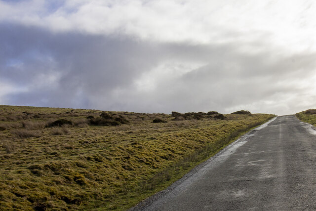
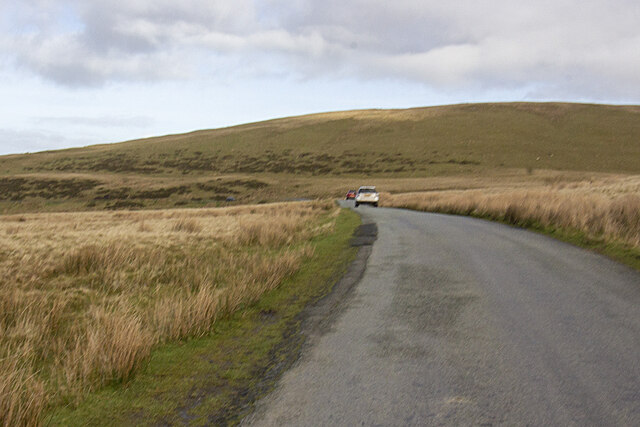
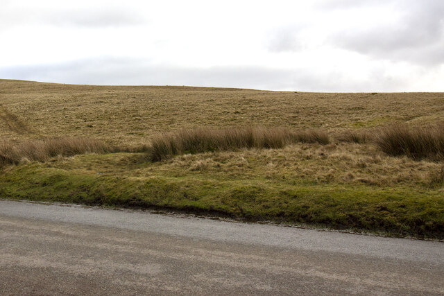
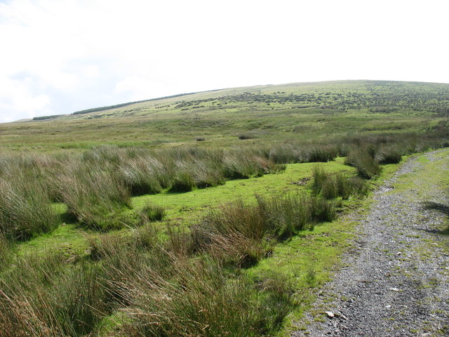
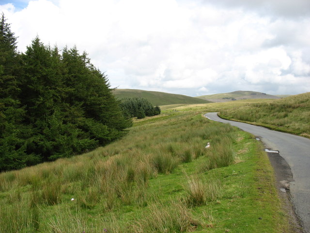
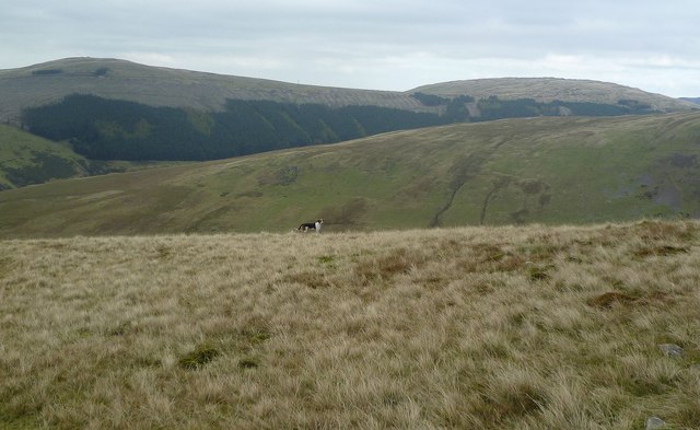
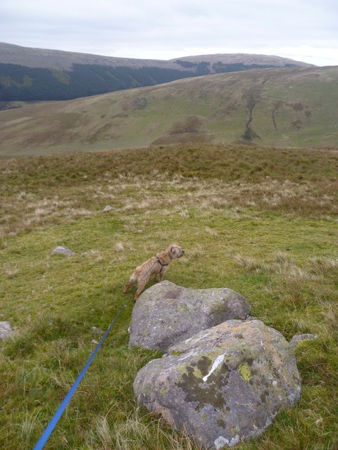
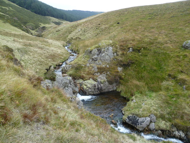
Burn Edge Images
Images are sourced within 2km of 54.500113/-3.4386246 or Grid Reference NY0612. Thanks to Geograph Open Source API. All images are credited.


Burn Edge is located at Grid Ref: NY0612 (Lat: 54.500113, Lng: -3.4386246)
Administrative County: Cumbria
District: Copeland
Police Authority: Cumbria
What 3 Words
///skims.tides.decanter. Near Cleator Moor, Cumbria
Nearby Locations
Related Wikis
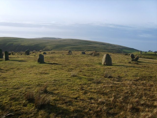
Kinniside Stone Circle
Kinniside Stone Circle (or Blakeley Raise Stone Circle) is a reconstructed stone circle in the civil parish of Ennerdale and Kinniside in Cumbria, England...
Ennerdale and Kinniside
Ennerdale and Kinniside is a civil parish in Copeland, Cumbria, England. At the 2011 census it had a population of 220.The parish has an area of 8,763...

Blakeley Raise
Blakeley Raise is a fell in the English Lake District, standing at 389m. Unlike its neighbours Grike, Crag Fell and Lank Rigg it is not listed as a Wainwright...
Flat Fell
Flat Fell is a hill located on the edge of the English Lake District, standing at 272m. It is included in Alfred Wainwright's Outlying Fells of Lakeland...
Nearby Amenities
Located within 500m of 54.500113,-3.4386246Have you been to Burn Edge?
Leave your review of Burn Edge below (or comments, questions and feedback).