Horsell
Settlement in Surrey Woking
England
Horsell

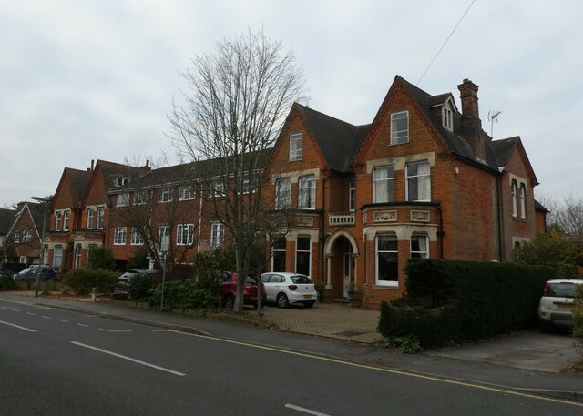
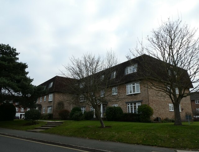
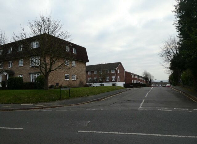
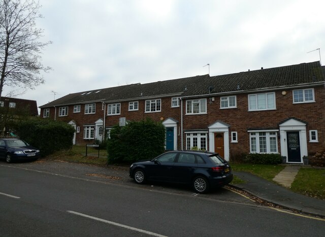
Horsell is a charming village located in the county of Surrey, England. Situated just two miles northwest of Woking, it is a picturesque and sought-after residential area known for its idyllic setting and community spirit. Horsell is surrounded by beautiful countryside, with the magnificent Horsell Common being a notable feature of the area.
The village itself boasts a range of amenities, including a variety of local shops, quaint cafes, and traditional pubs. Horsell also benefits from excellent transport links, with Woking train station providing regular services to London and other major cities. The village is conveniently located near the M25 motorway, providing easy access to the wider region.
Horsell is renowned for its strong sense of community and hosts numerous events throughout the year that bring residents together. The Horsell Village Show, held annually, showcases local talent and provides a fantastic opportunity for residents to enjoy a day of entertainment and camaraderie.
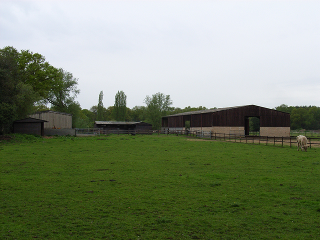
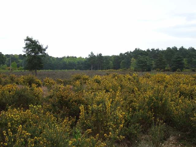
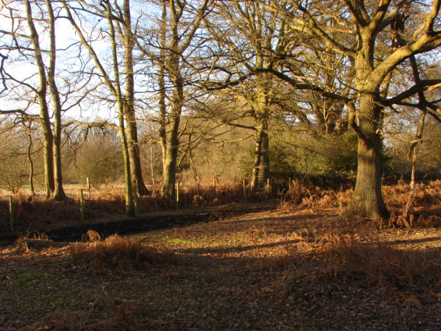
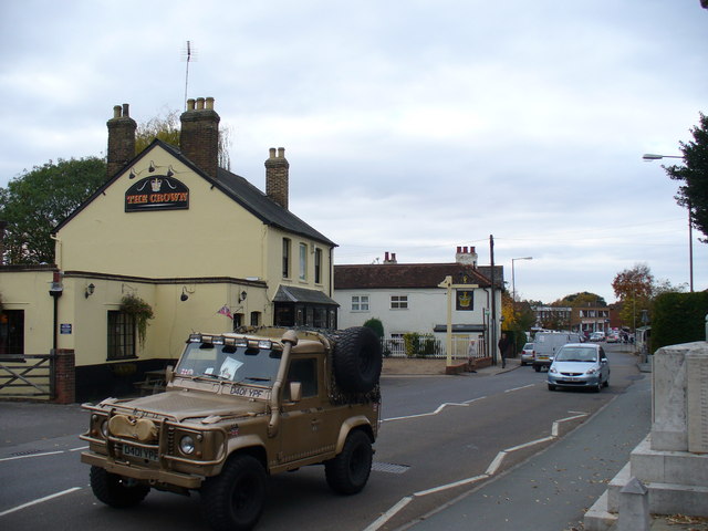
Nature enthusiasts are drawn to Horsell due to the presence of Horsell Common, a 355-acre heathland that offers picturesque walking trails, wildlife sightings, and opportunities for outdoor recreation. The Common is also famous for its association with H.G. Wells' science fiction novel, "The War of the Worlds," where the first Martian landing occurs in Horsell.
Overall, Horsell is a delightful village that offers a peaceful and community-focused lifestyle, combined with easy access to amenities and natural beauty.
If you have any feedback on the listing, please let us know in the comments section below.
Horsell Images
Images are sourced within 2km of 51.324752/-0.571677 or Grid Reference SU9959. Thanks to Geograph Open Source API. All images are credited.


Horsell is located at Grid Ref: SU9959 (Lat: 51.324752, Lng: -0.571677)
Administrative County: Surrey
District: Woking
Police Authority: Surrey
What 3 Words
///kept.punk.pigs. Near Woking, Surrey
Nearby Locations
Related Wikis
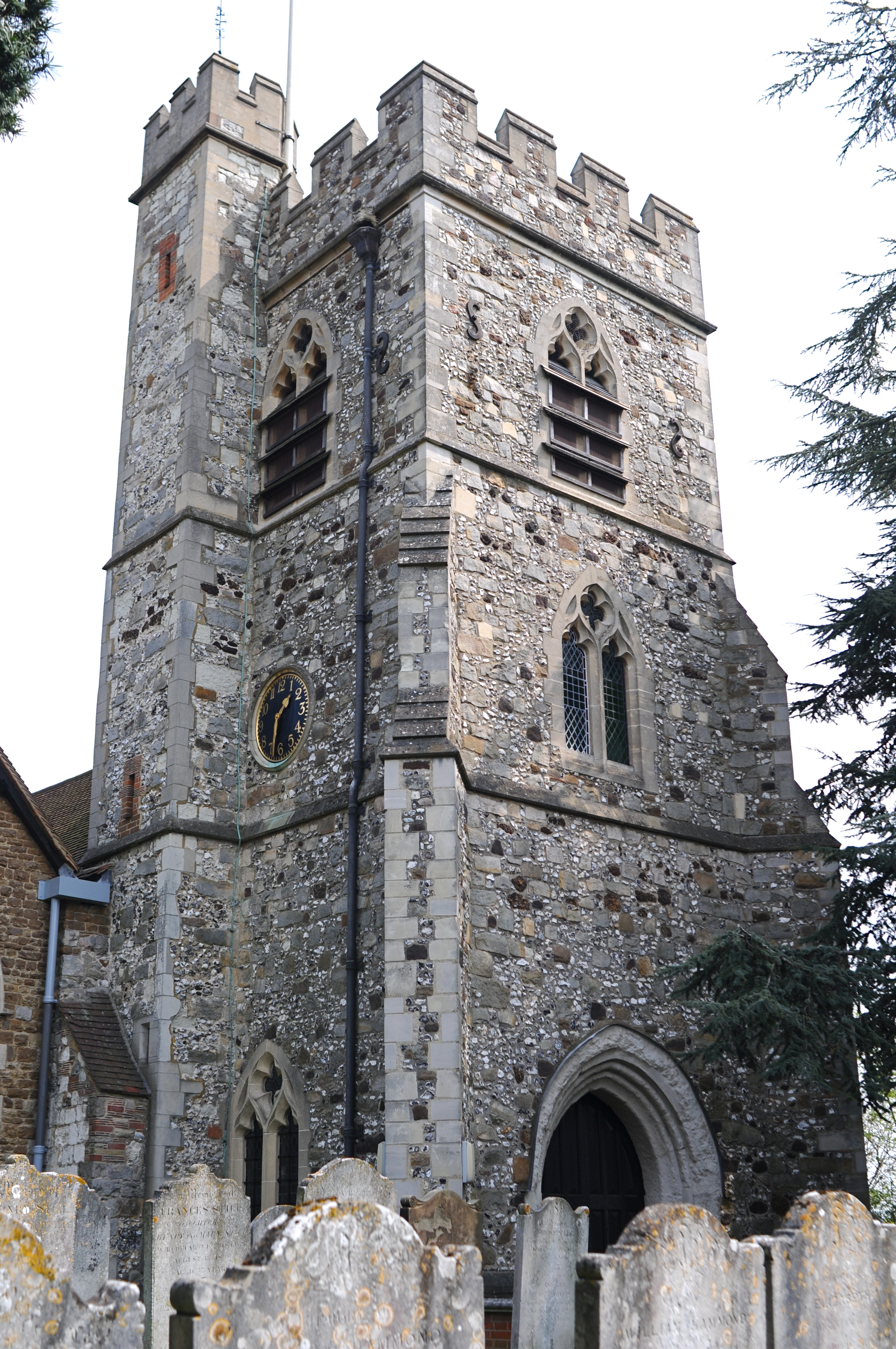
Church of St Mary the Virgin, Horsell
The church of St Mary-the-Virgin in Horsell is an Anglican church in the Diocese of Guildford. It is located about one mile away from Woking town centre...
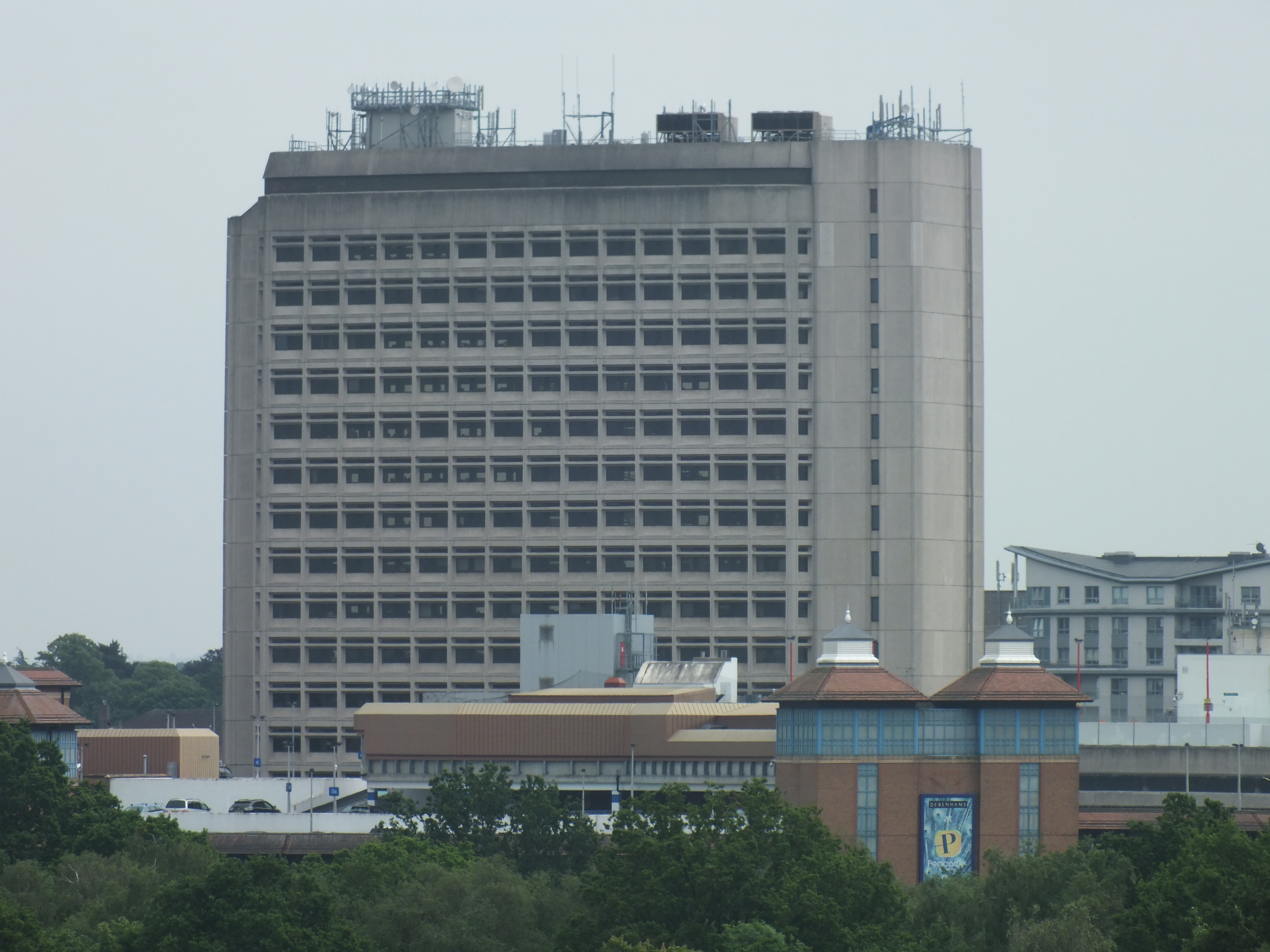
Export House
Export House in Woking, Surrey, is a tall office building formerly also known as the BAT Building during its tenancy by British American Tobacco. It was...
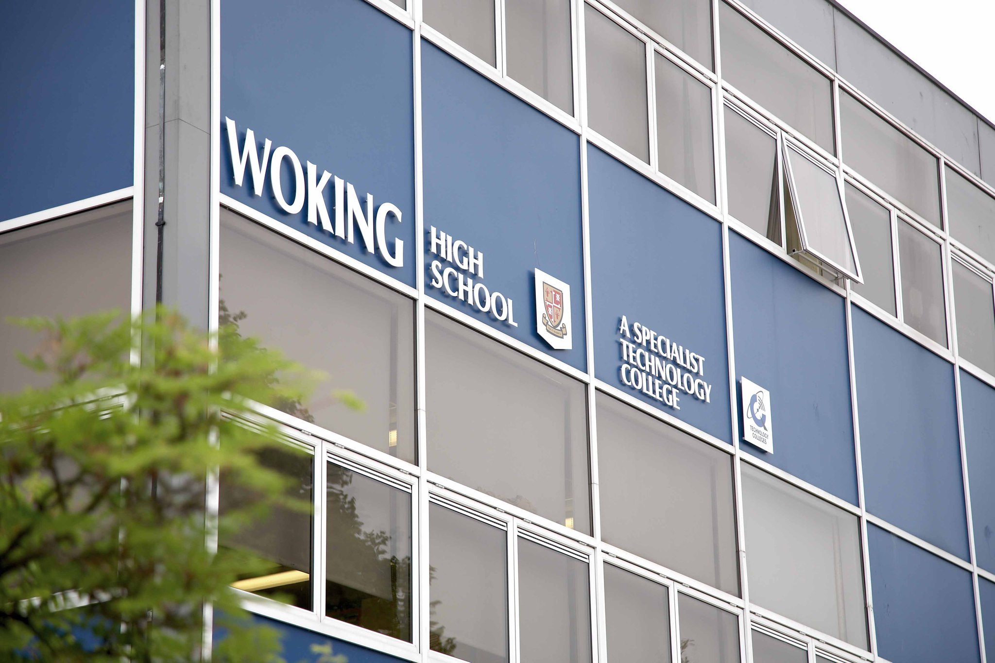
Woking High School
Woking High School (formerly named Horsell High School) is a coeducational secondary school with academy status, located in the Horsell area of Woking...
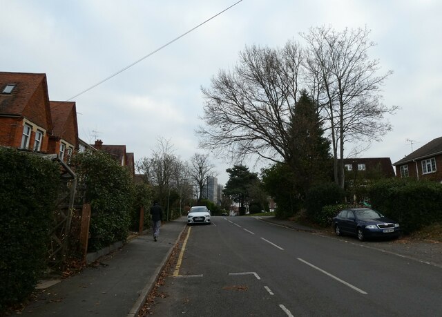
Horsell
Horsell is a village in the borough of Woking in Surrey, England, less than a mile north-west of Woking town centre. In November 2012, its population was...

Surrey History Centre
Surrey History Centre in Woking, Surrey, England, collects and rescues archives and printed materials relating to Surrey's past and present. == Building... ==
Rhoda McGaw Theatre
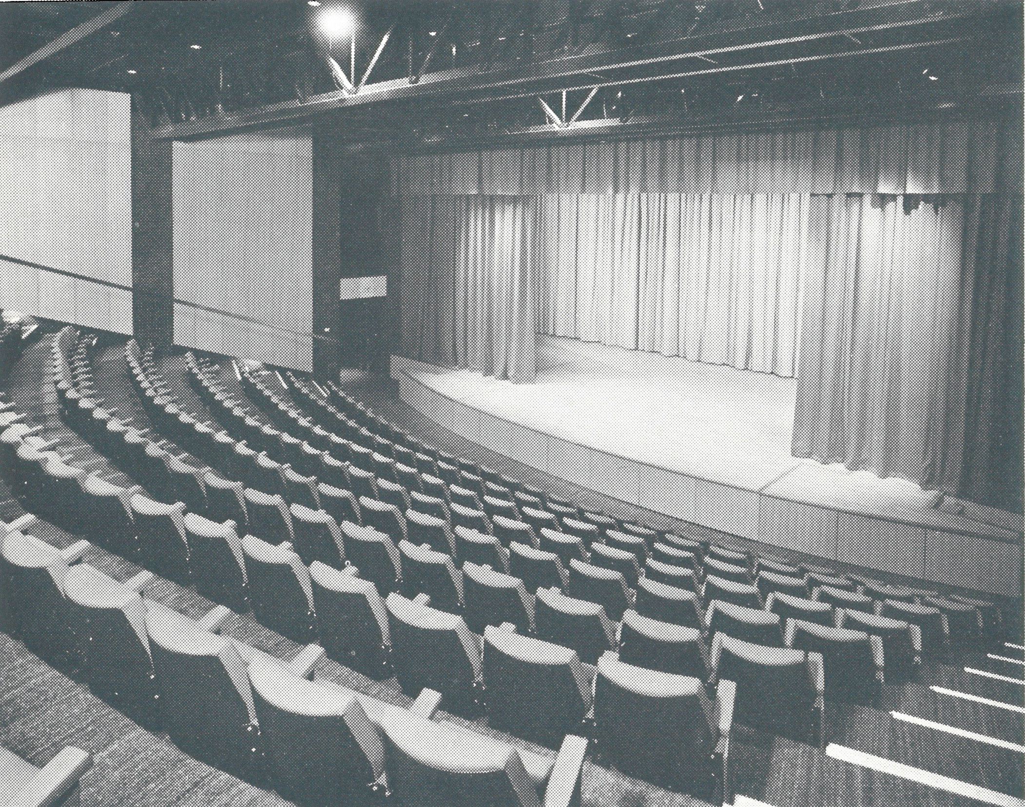
The Rhoda McGaw Theatre is part of the entertainment complex adjacent to the Peacock Centre in Woking, Surrey. The theatre seats 228 in 9 rows of raked...
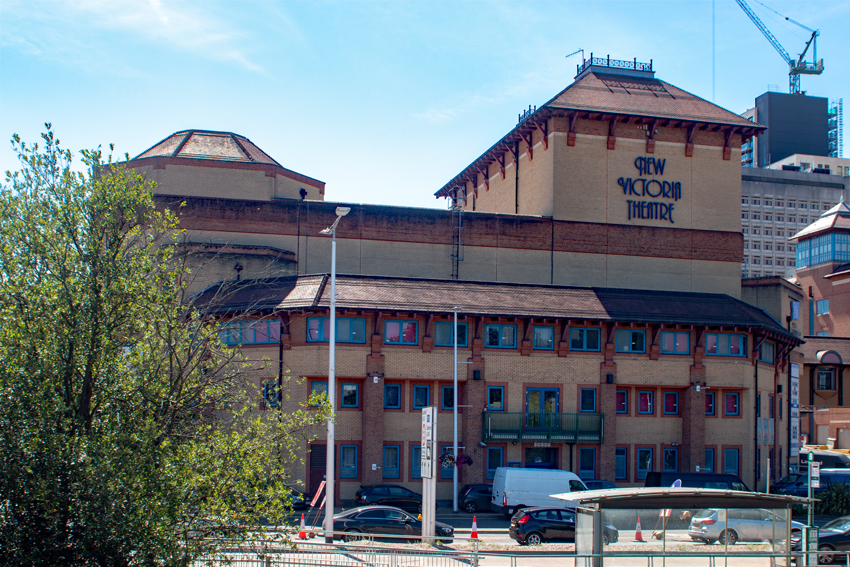
New Victoria Theatre
The New Victoria Theatre in Woking, England opened in June 1992. The main theatre seats approximately 1,300 people, making it one of the largest receiving...

The Lightbox
The Lightbox is a public gallery and museum located in Woking, Surrey, in the South East of England. Three galleries host a range of exhibitions, changing...
Nearby Amenities
Located within 500m of 51.324752,-0.571677Have you been to Horsell?
Leave your review of Horsell below (or comments, questions and feedback).