Badentree Hill

Hill, Mountain in Peeblesshire

Scotland

Badentree Hill

Quarry, Tweeddale In the vast forests beside the A701. In recent years there has been a lot of clear felling. An older photo: <a href="https://www.geograph.org.uk/photo/163740">NT0518 : Disused Quarry</a>.
Quarry, Tweeddale Credit: Richard Webb

Badentree Hill is a prominent hill located in the region of Peeblesshire, Scotland. With an elevation of approximately 512 meters (1,680 feet), it is well-known for its picturesque beauty and commanding views of the surrounding countryside. The hill is situated in the southern part of the Scottish Borders, close to the village of Eddleston.

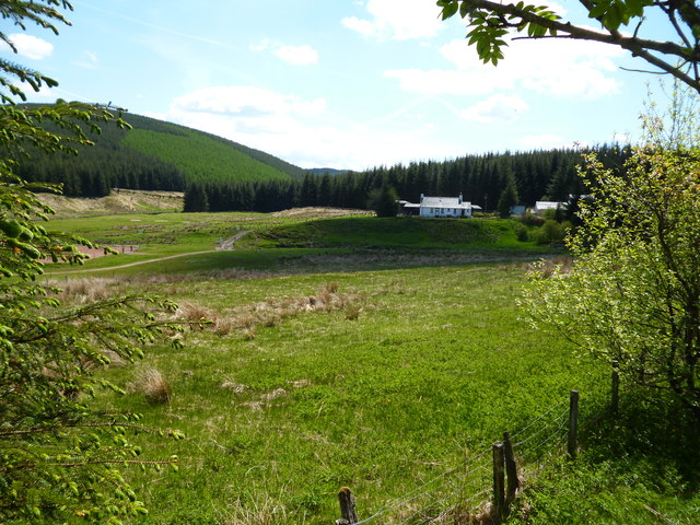
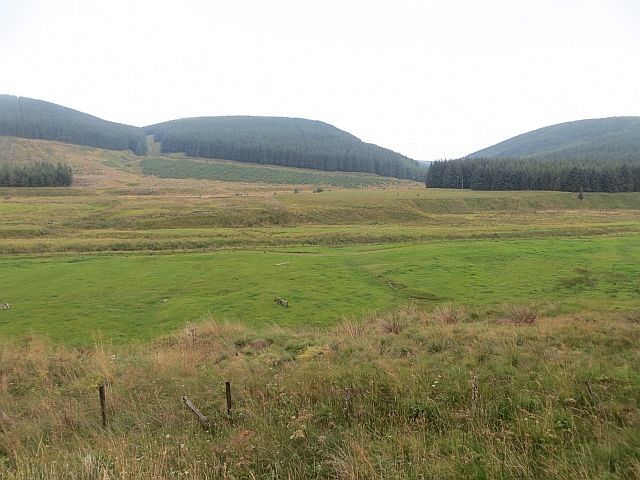
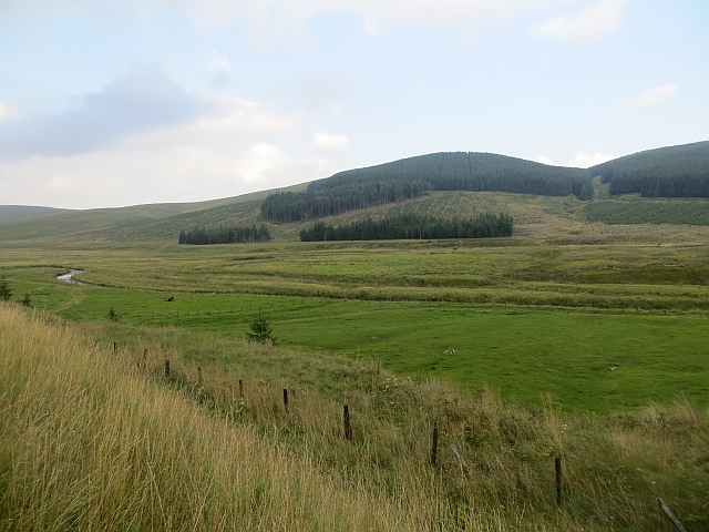
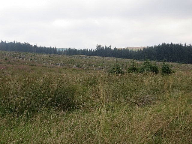
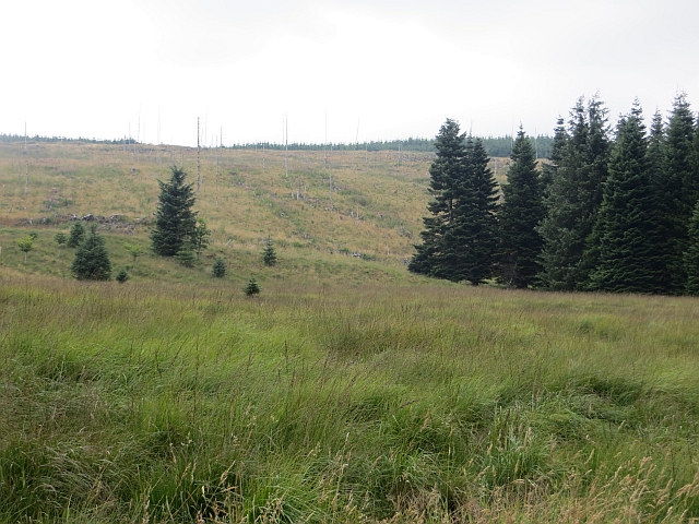
Badentree Hill is a popular destination for hikers and nature enthusiasts due to its accessibility and stunning vistas. The hill is covered in rolling green meadows, dotted with patches of dense woodland, and offers a diverse range of flora and fauna. During springtime, the hill becomes a vibrant tapestry of blooming wildflowers, creating a visually captivating experience for visitors.

The ascent to the summit of Badentree Hill is relatively moderate, making it suitable for both experienced and novice hikers. Once at the top, walkers are rewarded with breathtaking panoramic views of the Tweed Valley and the surrounding hills, including the notable peaks of the Pentland Hills and the Moorfoot Hills.

In addition to its natural beauty, Badentree Hill also holds historical significance. The hill is home to ancient burial sites and remnants of Iron Age settlements, providing evidence of human habitation dating back thousands of years. These archaeological features add an extra layer of intrigue and fascination to the hill's already captivating allure.

Overall, Badentree Hill in Peeblesshire offers a delightful combination of stunning natural landscapes, historical intrigue, and recreational opportunities, making it an ideal destination for outdoor enthusiasts and those seeking a peaceful retreat in the Scottish countryside.

If you have any feedback on the listing, please let us know in the comments section below.

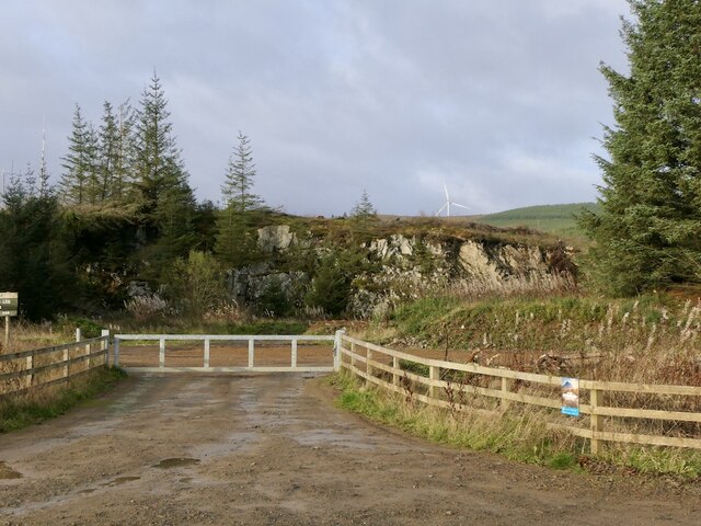
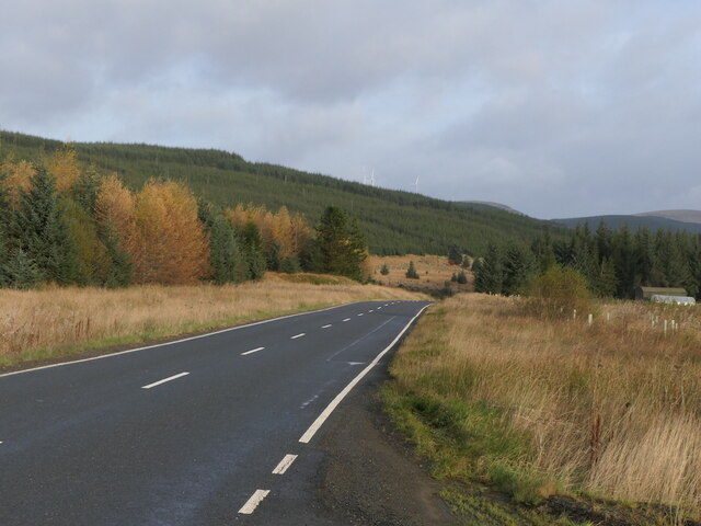
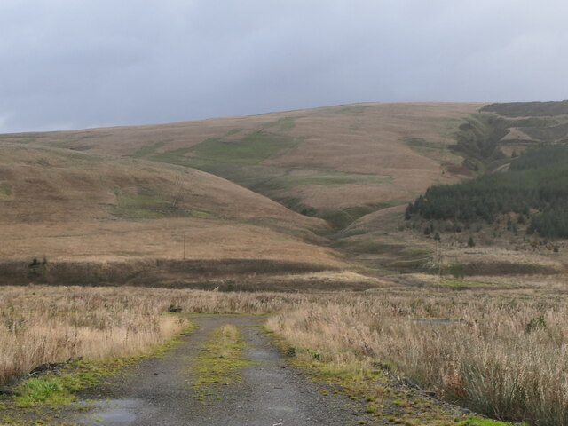
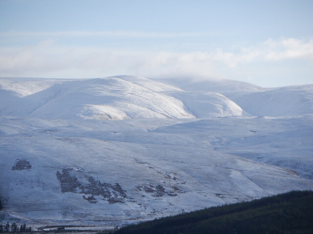
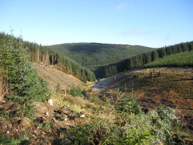
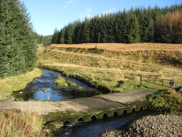
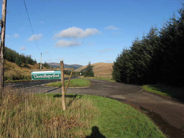
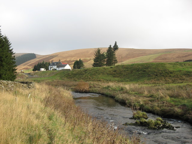
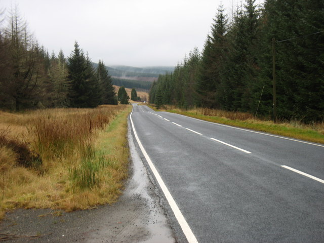
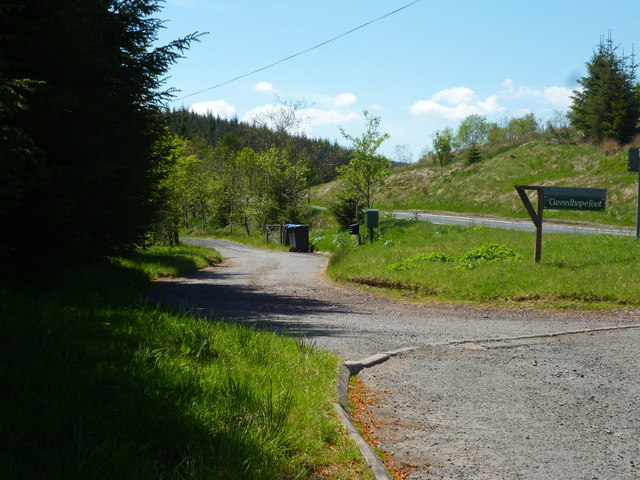
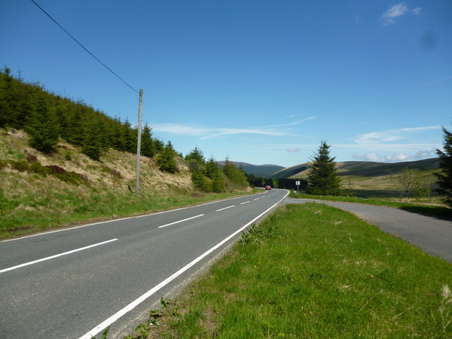
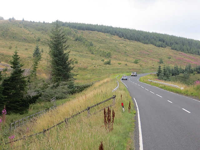
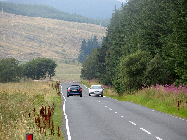
Badentree Hill Images

Images are sourced within 2km of 55.449293/-3.4815113 or Grid Reference NT0618. Thanks to Geograph Open Source API. All images are credited.

Quarry, Tweeddale In the vast forests beside the A701. In recent years there has been a lot of clear felling. An older photo: <a href="https://www.geograph.org.uk/photo/163740">NT0518 : Disused Quarry</a>.
Quarry, Tweeddale
In the vast forests beside the A701. In recent years there has been a lot of clear felling. An older photo: NT0518 : Disused Quarry.
Second generation conifers, Tweeddale The next crop growing beside the A701.
Second generation conifers, Tweeddale
The next crop growing beside the A701.
Young trees, Tweeddale
View towards Hart Fell One of the last largish areas in upper Tweeddale which has not been covered in turbines or conifers - for now.  The big hill is Hart Fell.
View towards Hart Fell
One of the last largish areas in upper Tweeddale which has not been covered in turbines or conifers - for now. The big hill is Hart Fell.
River Tweed in its Infancy Tweed near its source. Dropping down between Tweedhopefoot Rig and Badenhay Rig and soon to be joined by the Cor Water.
River Tweed in its Infancy
Tweed near its source. Dropping down between Tweedhopefoot Rig and Badenhay Rig and soon to be joined by the Cor Water.
Ford over the Cor Water This ford is near to Tweedhopefoot and crosses above where Tweed and Cor Water
meet.
Ford over the Cor Water
This ford is near to Tweedhopefoot and crosses above where Tweed and Cor Water meet.
Tweedhopefoot Entrance leading to the steading at Tweedhopefoot from the A701.
Useful layby here.
Tweedhopefoot
Entrance leading to the steading at Tweedhopefoot from the A701. Useful layby here.
River Tweed near Fingland The Tweed upstream of Fingland with Little Dodd in the background.
River Tweed near Fingland
The Tweed upstream of Fingland with Little Dodd in the background.
The A701 descends through the forest
Upper Tweed Valley:  Lane to Tweedhopefoot Off the A701, looking south
Upper Tweed Valley: Lane to Tweedhopefoot
Off the A701, looking south
Upper Tweed Valley:  The A701 near Tweedhopefoot The A701 is the main route connecting the M74 near Moffat with Edinburgh.  It is avery scenic route
Upper Tweed Valley: The A701 near Tweedhopefoot
The A701 is the main route connecting the M74 near Moffat with Edinburgh. It is avery scenic route
Upper Tweed Valley:  Tweedhopefoot Hill farm
Upper Tweed Valley: Tweedhopefoot
Hill farm
Crossing the Smidhope Burn Once there was sharper bend here and in one day I witnessed two crashes here due to ice. I was a passenger in one of them.
Crossing the Smidhope Burn
Once there was sharper bend here and in one day I witnessed two crashes here due to ice. I was a passenger in one of them.
Tweedhopefoot A field amongst the forestry.
Tweedhopefoot
A field amongst the forestry.
Tweedhopefoot Improved grassland amongst Sitka plantations.
Tweedhopefoot
Improved grassland amongst Sitka plantations.
Young trees A second generation of Sitka spruce.
Young trees
A second generation of Sitka spruce.
A701, Upper Tweeddale A landscape dominated by spruce forests (which almost hide the wind turbines).
A701, Upper Tweeddale
A landscape dominated by spruce forests (which almost hide the wind turbines).
An unplanted area A small patch of ground beside the A701 which has avoided the spruce planters.
An unplanted area
A small patch of ground beside the A701 which has avoided the spruce planters.
Show me another place!

Badentree Hill is located at Grid Ref: NT0618 (Lat: 55.449293, Lng: -3.4815113)

Unitary Authority: The Scottish Borders

Police Authority: The Lothians and Scottish Borders

What 3 Words

///shrugging.chairs.writers. Near Moffat, Dumfries & Galloway

Nearby Locations

Badentree Hill

Related Wikis

Fruid Reservoir

Fruid is a small reservoir in the Scottish Borders area of Scotland, UK, near Menzion. It is formed by damming the Fruid Water, and supplements the contents...

Fruid Water

Fruid Water is a river in the Scottish Borders area of Scotland. The valley it occupies has been dammed to form the Fruid Reservoir. The river is a tributary...

Hawkshaw, Scottish Borders

Hawkshaw is a pair of semi-detached houses on the River Tweed, two miles southwest of Tweedsmuir in the Scottish Borders. Historically part of Peeblesshire...

Annanhead Hill

Annanhead Hill is a 478-metre (1,568 ft) summit in the Moffat Hills of Scotland. It lies on the boundary between the Scottish Borders and Dumfries and...

Have you been to Badentree Hill?

Leave your review of Badentree Hill below (or comments, questions and feedback).