Fingland Hill
Hill, Mountain in Peeblesshire
Scotland
Fingland Hill
Fingland Hill is a prominent natural feature located in Peeblesshire, Scotland. It is classified as a hill rather than a mountain, standing at an elevation of approximately 366 meters (1,200 feet) above sea level. The hill is situated near the village of Eddleston, about 5 kilometers (3 miles) southeast of the town of Peebles.
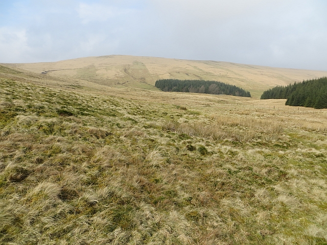
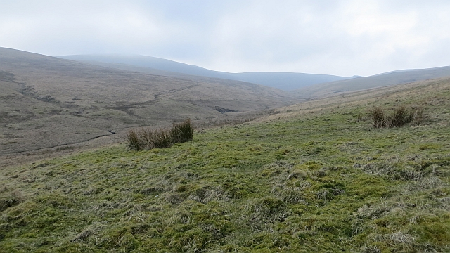
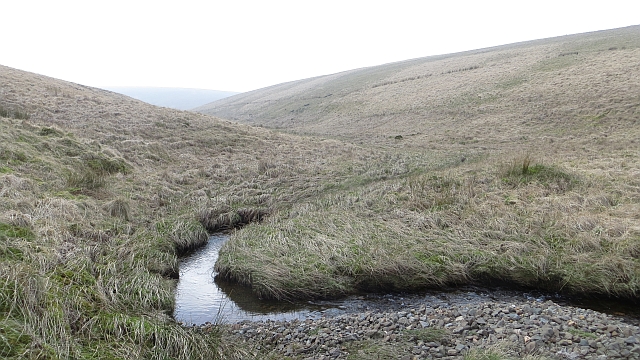
Fingland Hill is known for its picturesque beauty and is a popular destination for outdoor enthusiasts and nature lovers. The hill offers stunning panoramic views of the surrounding countryside, including the rolling hills and valleys of Peeblesshire. On a clear day, it is possible to see as far as the Scottish Borders and the Pentland Hills.
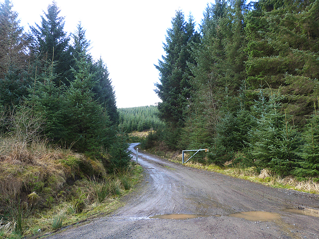
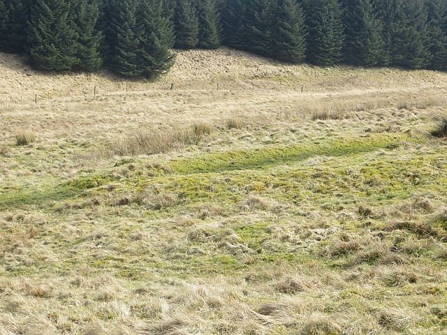
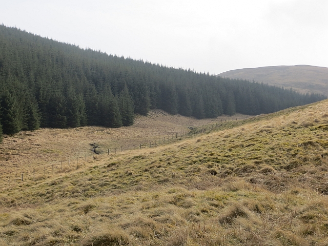
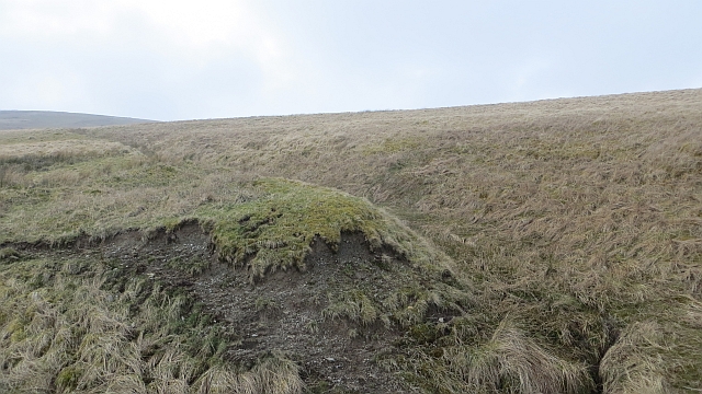
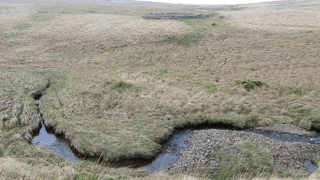
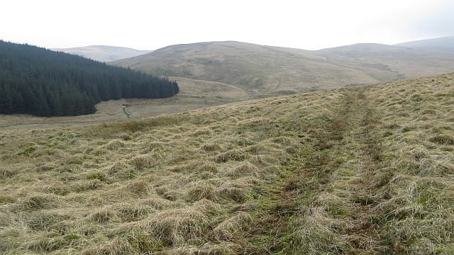
The landscape around Fingland Hill is characterized by a mix of heather moorland, grassy slopes, and patches of woodland. The area is home to a variety of flora and fauna, including wildflowers, birds, and small mammals. Additionally, the hill is intersected by several walking trails and footpaths, making it a great spot for hiking and exploring the Scottish countryside.
The summit of Fingland Hill can be reached via a well-marked trail that starts from the nearby village of Eddleston. The hike to the top is relatively short but moderately steep, offering a moderate challenge to visitors. Once at the summit, visitors are rewarded with breathtaking views and a sense of tranquility that comes with being immersed in the natural beauty of Peeblesshire.
If you have any feedback on the listing, please let us know in the comments section below.
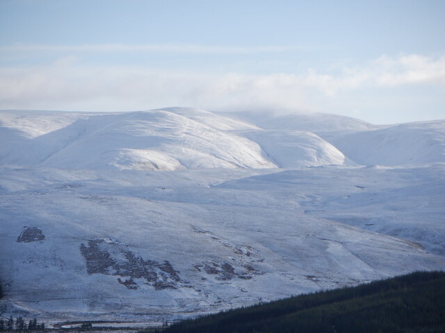
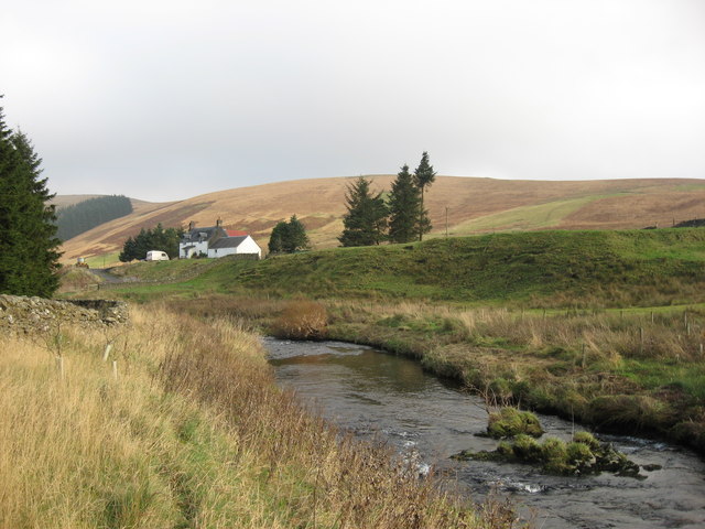
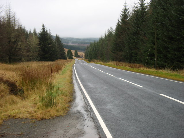
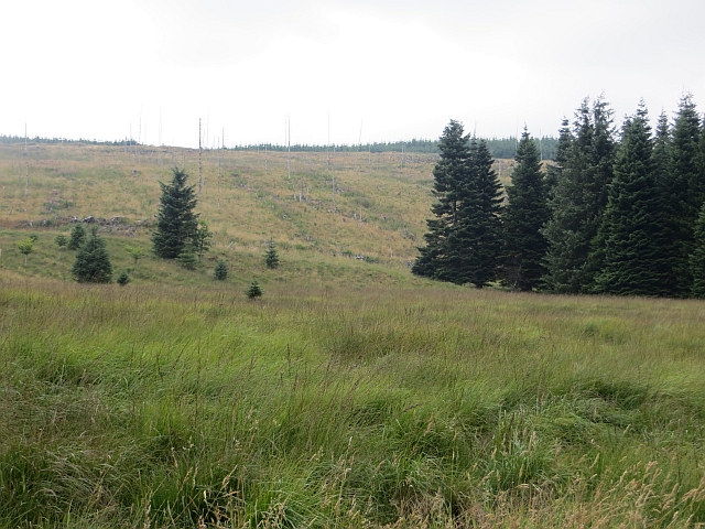
Fingland Hill Images
Images are sourced within 2km of 55.471893/-3.4830552 or Grid Reference NT0620. Thanks to Geograph Open Source API. All images are credited.


Fingland Hill is located at Grid Ref: NT0620 (Lat: 55.471893, Lng: -3.4830552)
Unitary Authority: The Scottish Borders
Police Authority: The Lothians and Scottish Borders
What 3 Words
///cringe.crypt.gems. Near Moffat, Dumfries & Galloway
Nearby Locations
Related Wikis

Hawkshaw, Scottish Borders
Hawkshaw is a pair of semi-detached houses on the River Tweed, two miles southwest of Tweedsmuir in the Scottish Borders. Historically part of Peeblesshire...

Fruid Water
Fruid Water is a river in the Scottish Borders area of Scotland. The valley it occupies has been dammed to form the Fruid Reservoir. The river is a tributary...

Fruid Reservoir
Fruid is a small reservoir in the Scottish Borders area of Scotland, UK, near Menzion. It is formed by damming the Fruid Water, and supplements the contents...

Menzion
Menzion, sometimes Minzion is a small settlement in southern Scotland near Tweedsmuir in the Scottish Borders, in the valley of the River Tweed. ��2...
Victoria Lodge railway station
Victoria Lodge railway station served the village of Tweedsmuir, Scottish Borders, Scotland from 1897 to 1905 on the Symington, Biggar and Broughton Railway...

Gathersnow Hill
Gathersnow Hill is a hill in the Culter Hills range, part of the Southern Uplands of Scotland. It lies west of the village of Tweedsmuir on the border...
Tweedsmuir
Tweedsmuir (Scottish Gaelic: Sliabh Thuaidh) is a village and civil parish in Tweeddale, the Scottish Borders Council district, southeastern Scotland....

Oliver Castle
Oliver Castle was a medieval tower house, located in upper Tweedsdale in the Scottish Borders. The site of the hillfort known as Oliver Castle is to the...
Nearby Amenities
Located within 500m of 55.471893,-3.4830552Have you been to Fingland Hill?
Leave your review of Fingland Hill below (or comments, questions and feedback).