Craigluscar Hill
Hill, Mountain in Fife
Scotland
Craigluscar Hill
Craigluscar Hill is a prominent landmark located in Fife, Scotland. Standing at an elevation of approximately 346 meters (1,135 feet), it is classified as a hill rather than a mountain. It is situated near the village of Saline, about 5 kilometers southwest of Dunfermline.
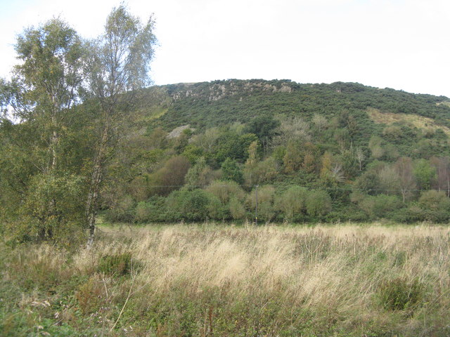
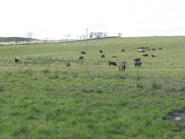
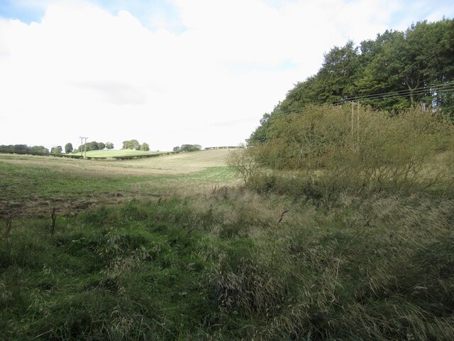
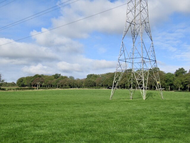
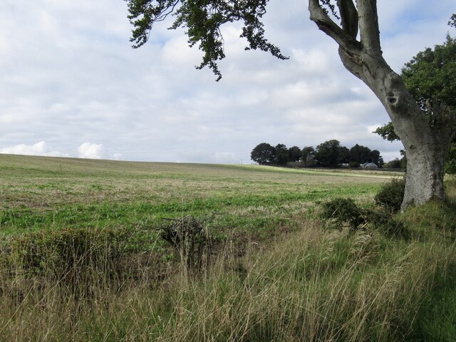
The hill is characterized by its distinct shape, featuring a rounded summit with gentle slopes. It is composed primarily of sedimentary rocks, including sandstone and shale, which contribute to its unique geological composition. The hill is a popular destination for hikers and nature enthusiasts, offering breathtaking panoramic views of the surrounding countryside.
Craigluscar Hill is home to a diverse range of flora and fauna. Its slopes are covered in a mixture of grasses, heather, and scattered woodland, providing habitat for a variety of bird species, such as skylarks and meadow pipits. The hill is also known for its rich archaeological history, with evidence of ancient settlements and burial sites dating back thousands of years.
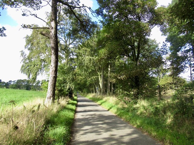
The hill is easily accessible, with several footpaths leading to the summit. The most popular route starts from Saline and winds its way up the hill, offering walkers a moderate challenge. At the top, visitors are rewarded with stunning views of the Fife countryside, the Ochil Hills, and even glimpses of the River Forth.
Overall, Craigluscar Hill is a picturesque and historically significant landmark in Fife, attracting both locals and tourists alike with its natural beauty and cultural heritage.
If you have any feedback on the listing, please let us know in the comments section below.
Craigluscar Hill Images
Images are sourced within 2km of 56.102294/-3.5105199 or Grid Reference NT0690. Thanks to Geograph Open Source API. All images are credited.
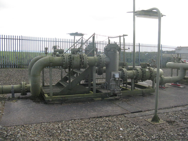
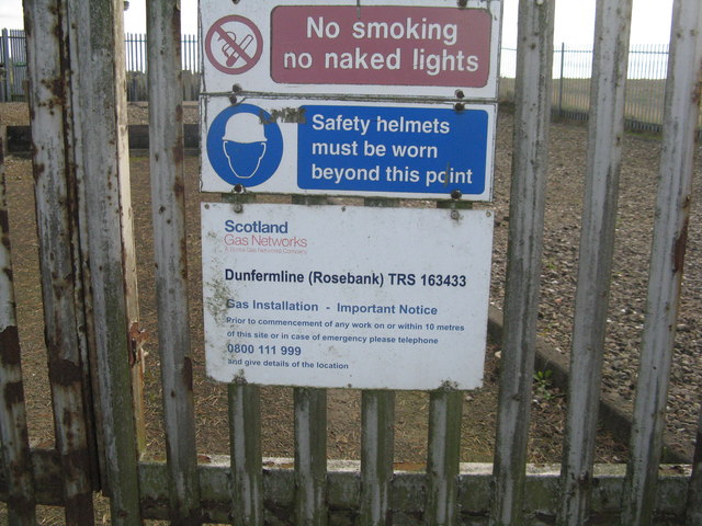
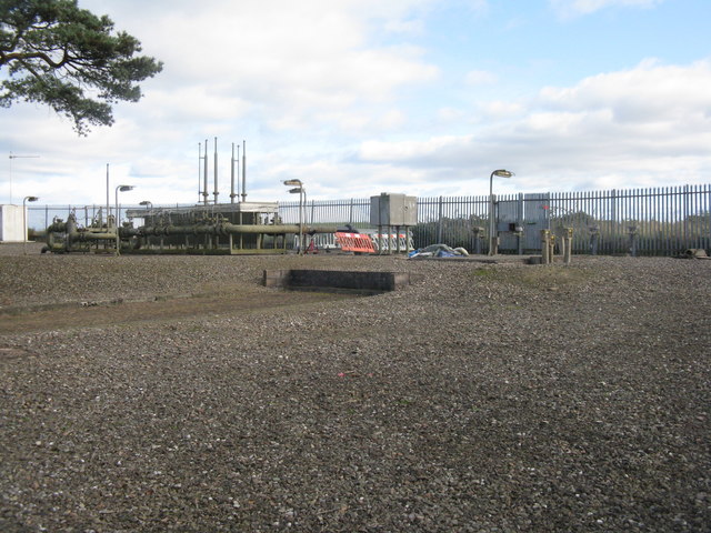
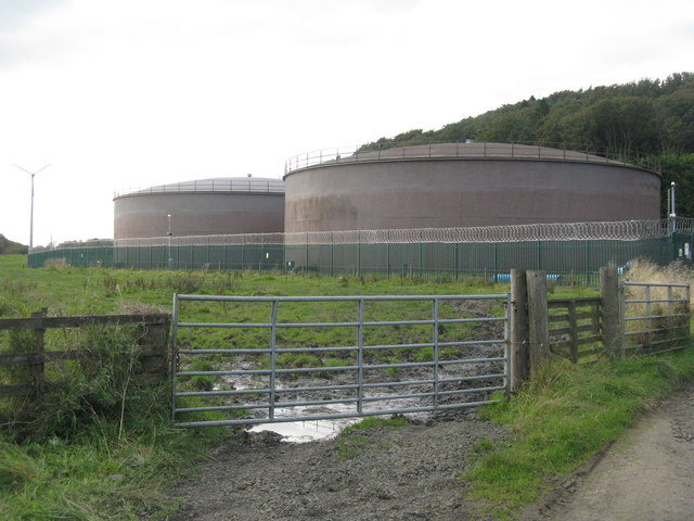
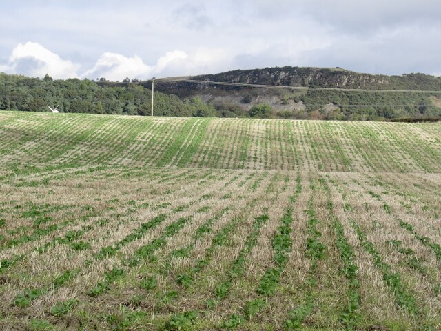
![Farmland near Craigluscar The enclosure contains the Dunfermline [Rosebank] gas installation.](https://s0.geograph.org.uk/geophotos/06/28/62/6286268_89792b4f.jpg)


Craigluscar Hill is located at Grid Ref: NT0690 (Lat: 56.102294, Lng: -3.5105199)
Unitary Authority: Fife
Police Authority: Fife
What 3 Words
///bucked.gazes.lame. Near Saline, Fife
Related Wikis

Dunfermline (district)
Dunfermline (Scottish Gaelic: Dùn Phàrlain, Scots: Dunfaurlin) was a local government district in the Fife region of Scotland from 1975 to 1996, lying...

Gowkhall
Gowkhall (for a period known as Balclune) is a hamlet in Fife Scotland, 3.6 miles (5.794 km) west of Dunfermline. The nearest village of size is Carnock...

Steelend
Steelend is a former mining village in West Fife, Scotland, located on the B914 road approximately three-quarters of a mile east of the village of Saline...

Carnock
Carnock (Scottish Gaelic: A' Chàrnaich) is a village and parish of Fife, Scotland, 4+1⁄4 miles (7 kilometres) west of Dunfermline. It is 1+1⁄4 miles (2...
Nearby Amenities
Located within 500m of 56.102294,-3.5105199Have you been to Craigluscar Hill?
Leave your review of Craigluscar Hill below (or comments, questions and feedback).