Bird's Hill

Hill, Mountain in Somerset Somerset West and Taunton

England

Bird's Hill

Ordnance Survey Cut Mark This OS cut mark can be found on the SE angle of All Saints Church. It marks a point 89.685m above mean sea level.
Ordnance Survey Cut Mark Credit: Adrian Dust

Bird's Hill is a prominent geographical feature located in the county of Somerset, England. Situated near the village of East Harptree, it is part of the Mendip Hills range and stands at an elevation of approximately 381 meters (1,250 feet) above sea level.

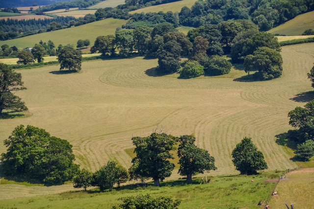
Known for its breathtaking natural beauty, Bird's Hill offers panoramic views of the surrounding countryside. The hill is covered in lush green grass, dotted with wildflowers, and is home to a variety of plant and animal species, making it a haven for nature enthusiasts and walkers.

The summit of Bird's Hill provides an ideal vantage point, offering sweeping vistas of the Mendip Hills Area of Outstanding Natural Beauty. On a clear day, visitors can enjoy views that stretch as far as the city of Bristol and even the Welsh mountains in the distance.

Bird's Hill has a rich history, with evidence of human activity dating back to the Iron Age. Archaeological findings in the area suggest that the hill was once used as a defensive site, possibly due to its strategic location and commanding views.

Today, Bird's Hill is a popular destination for outdoor activities such as hiking, picnicking, and birdwatching. There are several well-marked trails and footpaths that wind through the surrounding countryside, allowing visitors to explore the area's natural beauty at their own pace.

Overall, Bird's Hill in Somerset offers a serene escape from the bustling city life, providing visitors with a chance to immerse themselves in nature and enjoy the stunning vistas that this picturesque hill has to offer.

If you have any feedback on the listing, please let us know in the comments section below.
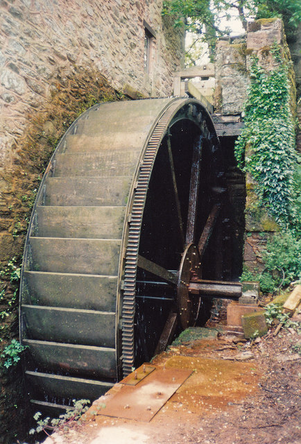
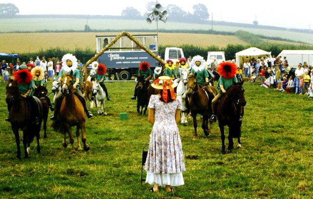
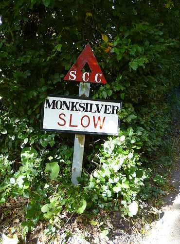
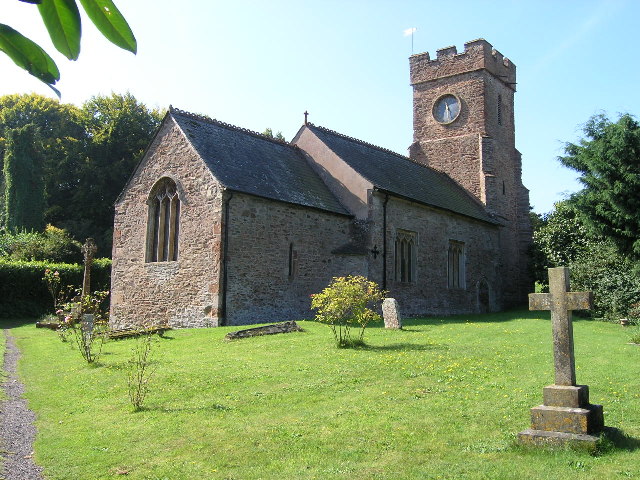
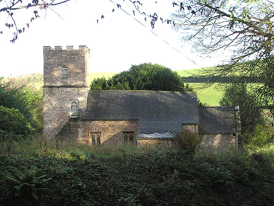
Bird's Hill Images

Images are sourced within 2km of 51.118077/-3.3461599 or Grid Reference ST0536. Thanks to Geograph Open Source API. All images are credited.

Ordnance Survey Cut Mark This OS cut mark can be found on the SE angle of All Saints Church. It marks a point 89.685m above mean sea level.
Ordnance Survey Cut Mark
This OS cut mark can be found on the SE angle of All Saints Church. It marks a point 89.685m above mean sea level.
Combe Sydenham Ford This ford is found in the Combe Sydenham Country Park. A video of the ford can be seen at:
<span class="nowrap"><a title="https://youtu.be/cX9wiriI6VQ" rel="nofollow ugc noopener" href="https://youtu.be/cX9wiriI6VQ">Link</a><img style="margin-left:2px;" alt="External link" title="External link - shift click to open in new window" src="https://s1.geograph.org.uk/img/external.png" width="10" height="10"/></span>
Combe Sydenham Ford
This ford is found in the Combe Sydenham Country Park. A video of the ford can be seen at: LinkExternal link
All Saints Church, Monksilver, Somerset All Saints, Monksilver is located between the Quantocks and the Brendon Hills.   The church  dates back to the C12,  although the current structure  is the results of rebuilding in the C14.  It is thought that the original church was built by monks from Bec Abbey in Normandy, and had connections to 
Goldcliffe Priory in South Wales.  Because the church was a monastic church, the usual memorials inside these early churches are absent, due being owned by the Priory.  The main entrance door is the original medieval door with the original ironwork.  In later years it came under the ownership of  Eton College and then by the Dean and Canons of St George's Chapel, Windsor.
The layout is of a standard design -  chancel, nave and tower at the west end.  The tower has five bells, the oldest being cast in 1548.   The church is in the Diocese of Bath and Wells.
All Saints Church, Monksilver, Somerset
All Saints, Monksilver is located between the Quantocks and the Brendon Hills. The church dates back to the C12, although the current structure is the results of rebuilding in the C14. It is thought that the original church was built by monks from Bec Abbey in Normandy, and had connections to Goldcliffe Priory in South Wales. Because the church was a monastic church, the usual memorials inside these early churches are absent, due being owned by the Priory. The main entrance door is the original medieval door with the original ironwork. In later years it came under the ownership of Eton College and then by the Dean and Canons of St George's Chapel, Windsor. The layout is of a standard design - chancel, nave and tower at the west end. The tower has five bells, the oldest being cast in 1548. The church is in the Diocese of Bath and Wells.
Combe Sydenham Mill A small grain mill - preserved
Combe Sydenham Mill
A small grain mill - preserved
Combe Sydenham Mill: waterwheel An overshot wheel with wooden buckets and ring gear on the right-hand side. The ring gear is not serving any useful purpose here and indicates that the waterwheel is an import; a replacement for the grain mill's original one
Combe Sydenham Mill: waterwheel
An overshot wheel with wooden buckets and ring gear on the right-hand side. The ring gear is not serving any useful purpose here and indicates that the waterwheel is an import; a replacement for the grain mill's original one
Monksilver Country Fair, Somerset 1992
Old Village Signpost by the B3183, Combehill Cross, Monksilver Parish Warning triangle finial - Somerset village sign by the B3183, in parish of Monksilver (West Somerset District), Combecross Hill, southern approach to village, in hedge.

Grade II Listed. List Entry Number: 1057564
<span class="nowrap"><a title="https://historicengland.org.uk/listing/the-list/list-entry/1057564" rel="nofollow ugc noopener" href="https://historicengland.org.uk/listing/the-list/list-entry/1057564">Link</a><img style="margin-left:2px;" alt="External link" title="External link - shift click to open in new window" src="https://s1.geograph.org.uk/img/external.png" width="10" height="10"/></span>

Surveyed

Milestone Society National ID: SO_ST0737B
Old Village Signpost by the B3183, Combehill Cross, Monksilver Parish
Warning triangle finial - Somerset village sign by the B3183, in parish of Monksilver (West Somerset District), Combecross Hill, southern approach to village, in hedge. Grade II Listed. List Entry Number: 1057564 LinkExternal link Surveyed Milestone Society National ID: SO_ST0737B
Direction Sign - Signpost on the B3188 in Monksilver Pyramid finial - 3 arms; Somerset SCC pyramid by the B3188, in parish of Monksilver (West Somerset District), Combehill Cross, southern approach to village. See also <span class="nowrap"><a title="https://www.flickr.com/photos/tollhouses/10223330974" rel="nofollow ugc noopener" href="https://www.flickr.com/photos/tollhouses/10223330974">Link</a><img style="margin-left:2px;" alt="External link" title="External link - shift click to open in new window" src="https://s1.geograph.org.uk/img/external.png" width="10" height="10"/></span>. By 2021 the Williton, Watchet, Minehead arm had broken off.

Surveyed

Milestone Society National ID: SO_ST0737C
Direction Sign - Signpost on the B3188 in Monksilver
Pyramid finial - 3 arms; Somerset SCC pyramid by the B3188, in parish of Monksilver (West Somerset District), Combehill Cross, southern approach to village. See also LinkExternal link. By 2021 the Williton, Watchet, Minehead arm had broken off. Surveyed Milestone Society National ID: SO_ST0737C
Old Milestone by the B3190, Sticklepath, Old Cleeve parish Metal plate attached to stone post by the B3190, in parish of Old Cleeve (West Somerset District), hamlet of Sticklepath, beside road on bank, on West side of road. Minehead iron plate, erected by the Minehead & Bampton Road turnpike trust in the 19th century. 

Inscription reads:- 
5
MILES
To
Watchet
Carved benchmark lower front.

Grade II listed.  List Entry Number: 1345598 <span class="nowrap"><a title="https://historicengland.org.uk/listing/the-list/list-entry/1345598" rel="nofollow ugc noopener" href="https://historicengland.org.uk/listing/the-list/list-entry/1345598">Link</a><img style="margin-left:2px;" alt="External link" title="External link - shift click to open in new window" src="https://s1.geograph.org.uk/img/external.png" width="10" height="10"/></span>

Milestone Society National ID: SO_WTTV05
Old Milestone by the B3190, Sticklepath, Old Cleeve parish
Metal plate attached to stone post by the B3190, in parish of Old Cleeve (West Somerset District), hamlet of Sticklepath, beside road on bank, on West side of road. Minehead iron plate, erected by the Minehead & Bampton Road turnpike trust in the 19th century. Inscription reads:- 5 MILES To Watchet Carved benchmark lower front. Grade II listed. List Entry Number: 1345598 LinkExternal link Milestone Society National ID: SO_WTTV05
Direction Sign - Signpost by the B3190, near Nettlecombe Pyramid finial - 3 arms; Somerset SCC pyramid by the B3190, in parish of Old Cleeve (West Somerset District), South of Huish Barton.

Exmoor National Park HER.
ENPHER Monument Number: MEM24542 <span class="nowrap"><a title="https://www.heritagegateway.org.uk/Gateway/Results_Single.aspx?uid=MEM24542&resourceID=1022" rel="nofollow ugc noopener" href="https://www.heritagegateway.org.uk/Gateway/Results_Single.aspx?uid=MEM24542&resourceID=1022">Link</a><img style="margin-left:2px;" alt="External link" title="External link - shift click to open in new window" src="https://s1.geograph.org.uk/img/external.png" width="10" height="10"/></span>

Surveyed

Milestone Society National ID: SO_ST0538
Direction Sign - Signpost by the B3190, near Nettlecombe
Pyramid finial - 3 arms; Somerset SCC pyramid by the B3190, in parish of Old Cleeve (West Somerset District), South of Huish Barton. Exmoor National Park HER. ENPHER Monument Number: MEM24542 LinkExternal link Surveyed Milestone Society National ID: SO_ST0538
Nettlecombe : Countryside Scenery Looking across the countryside in the parish of Nettlecombe.
Nettlecombe : Countryside Scenery
Looking across the countryside in the parish of Nettlecombe.
Nettlecombe : Countryside Scenery Looking out across the countryside in the parish of Nettlecombe.
Nettlecombe : Countryside Scenery
Looking out across the countryside in the parish of Nettlecombe.
Nettlecombe : Countryside Scenery Looking out across the countryside in the Nettlecombe parish.
Nettlecombe : Countryside Scenery
Looking out across the countryside in the Nettlecombe parish.
Nettlecombe : The B3190 The B3190 in the Nettlecombe parish.
Nettlecombe : The B3190
The B3190 in the Nettlecombe parish.
Nettlecombe : The B3190 Heading along the B3190 in the Nettlecombe parish.
Nettlecombe : The B3190
Heading along the B3190 in the Nettlecombe parish.
Nettlecombe : Countryside Scenery Hills and fields in the Nettlecombe parish.
Nettlecombe : Countryside Scenery
Hills and fields in the Nettlecombe parish.
Nettlecombe : The B3190 Heading along the B3190 in the Nettlecombe parish.
Nettlecombe : The B3190
Heading along the B3190 in the Nettlecombe parish.
Old Cleeve : B3190 Heading along the B3190 and alongside Chidgely Hill Farm.
Old Cleeve : B3190
Heading along the B3190 and alongside Chidgely Hill Farm.
Show me another place!

Bird's Hill is located at Grid Ref: ST0536 (Lat: 51.118077, Lng: -3.3461599)

Administrative County: Somerset

District: Somerset West and Taunton

Police Authority: Avon and Somerset

What 3 Words

///indulgent.stewing.womanly. Near Williton, Somerset

Nearby Locations

Pooke Wood Bird's Hill

Related Wikis

Nettlecombe Court

Nettlecombe Court and park is an old estate on the northern fringes of the Brendon Hills, within the Exmoor National Park. They are within the civil parish...

Nettlecombe, Somerset

Nettlecombe is a civil parish in the English county of Somerset. The parish covers a rural area below the Brendon Hills, comprising the small hamlets of...

Monksilver

Monksilver is a village 3 miles (5 km) west of the town of Williton in Somerset, England, on the eastern flank of the Brendon Hills and the border of the...

Church of St Martin, Elworthy

The Church of St Martin in Elworthy, Somerset, England, is dedicated to St Martin of Tours. It dates from the 13th century and is recorded in the National...
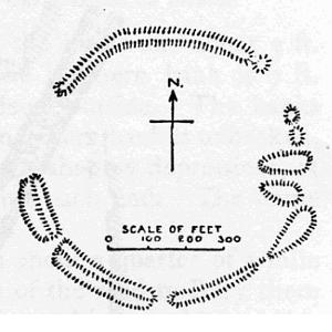
Elworthy Barrows

Elworthy Barrows is an unfinished Iron Age hill fort, rather than Bronze Age barrows, which is designated a scheduled ancient monument (No:188401). It...

Elworthy

Elworthy is a small village and civil parish in the Brendon Hills 5 miles (8 km) south-east of Watchet, and 12 miles (19 km) west of Taunton, in the Somerset...

Bridgwater and West Somerset (UK Parliament constituency)

Bridgwater and West Somerset is a constituency represented in the House of Commons of the UK Parliament since 2010 by Ian Liddell-Grainger, a Conservative...

Comberow railway station

Comberow was an intermediate station on the West Somerset Mineral Railway (WSMR), which was built primarily to carry iron ore from mines to Watchet harbour...

Nearby Amenities

Located within 500m of 51.118077,-3.3461599
Colton Farm
Note Retag: CS #48756035
Place: farm
Lat/Long: 51.1146932/-3.3502038
The data included in this document is from www.openstreetmap.org. The data is made available under ODbL.

Have you been to Bird's Hill?

Leave your review of Bird's Hill below (or comments, questions and feedback).